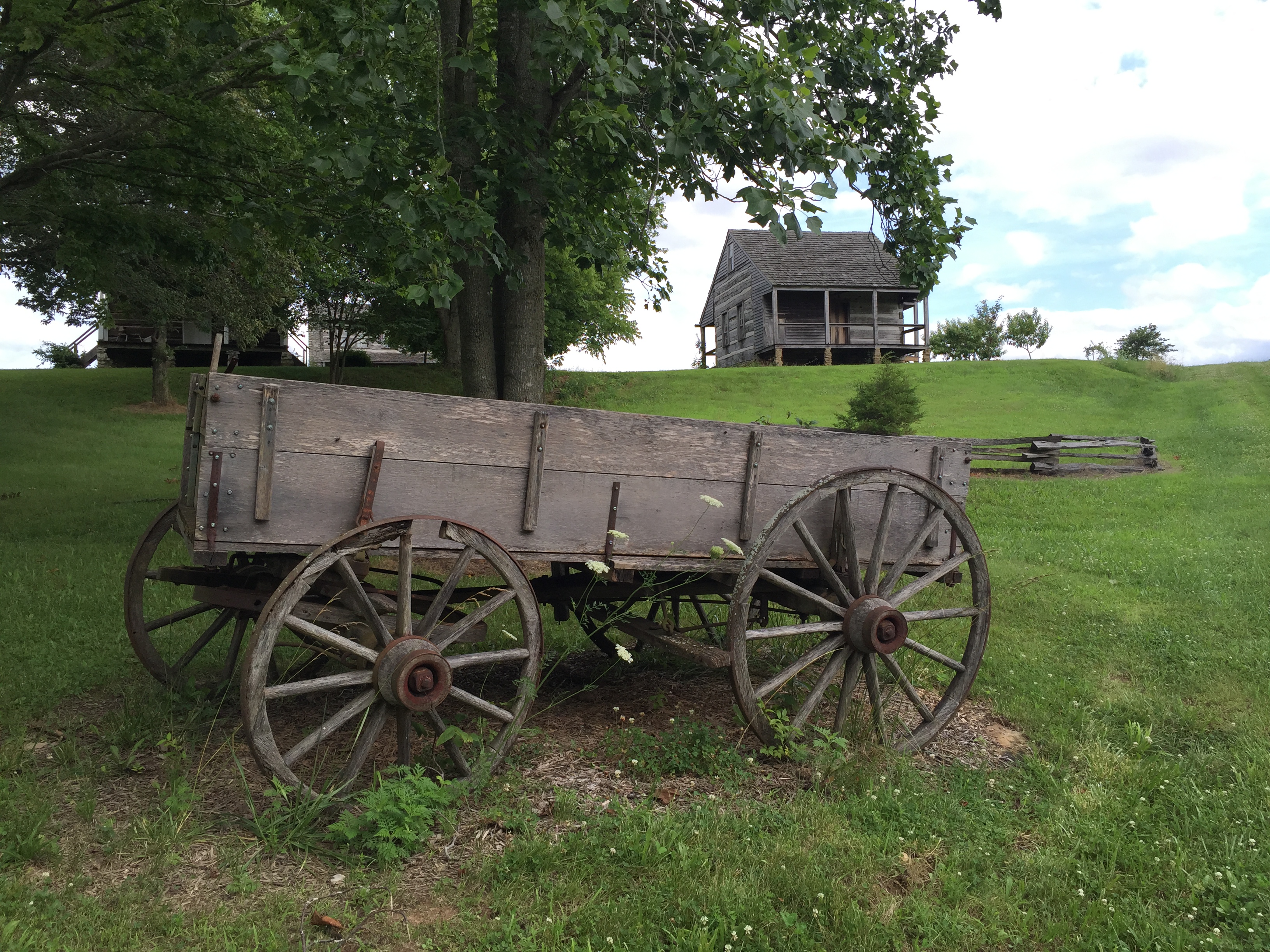
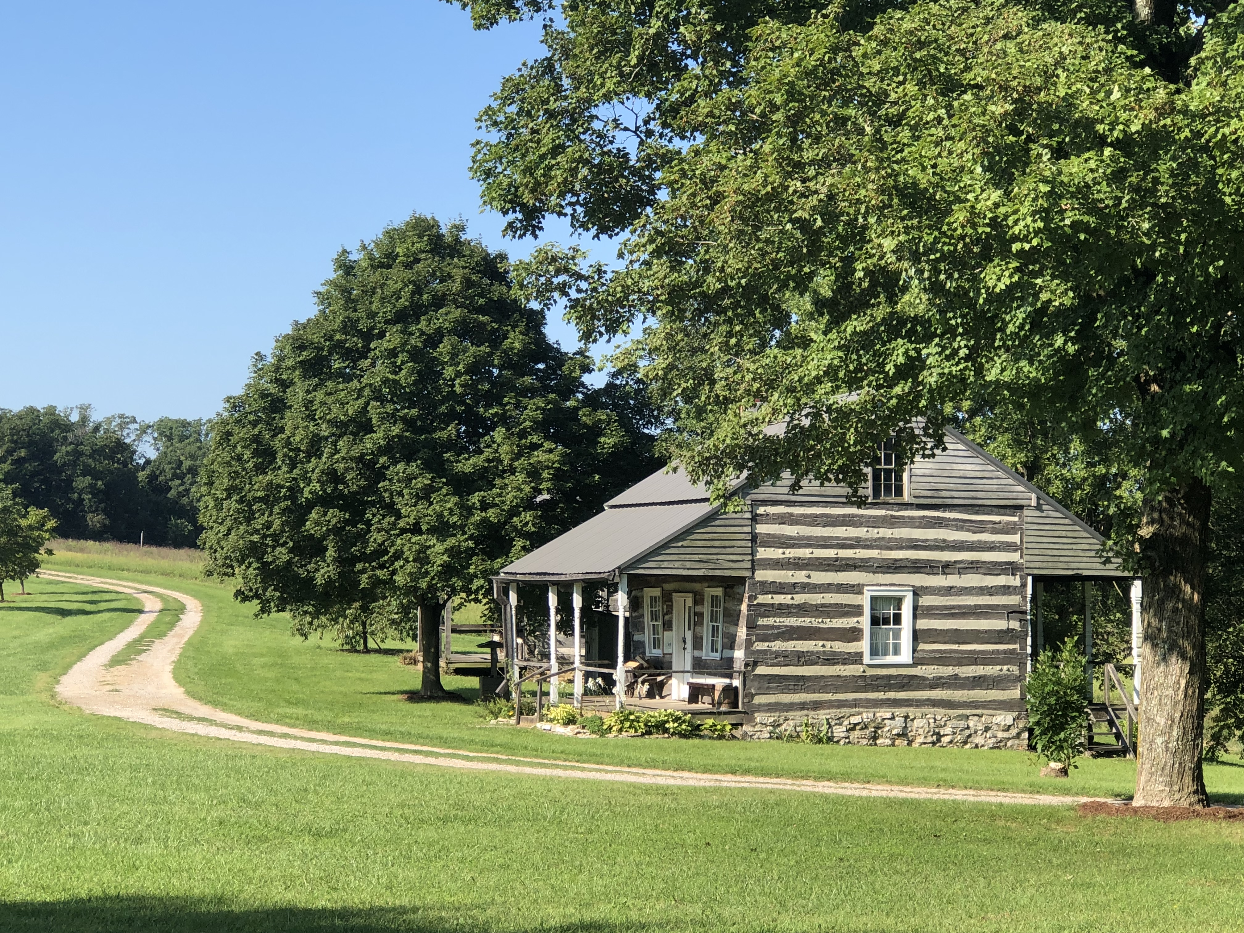
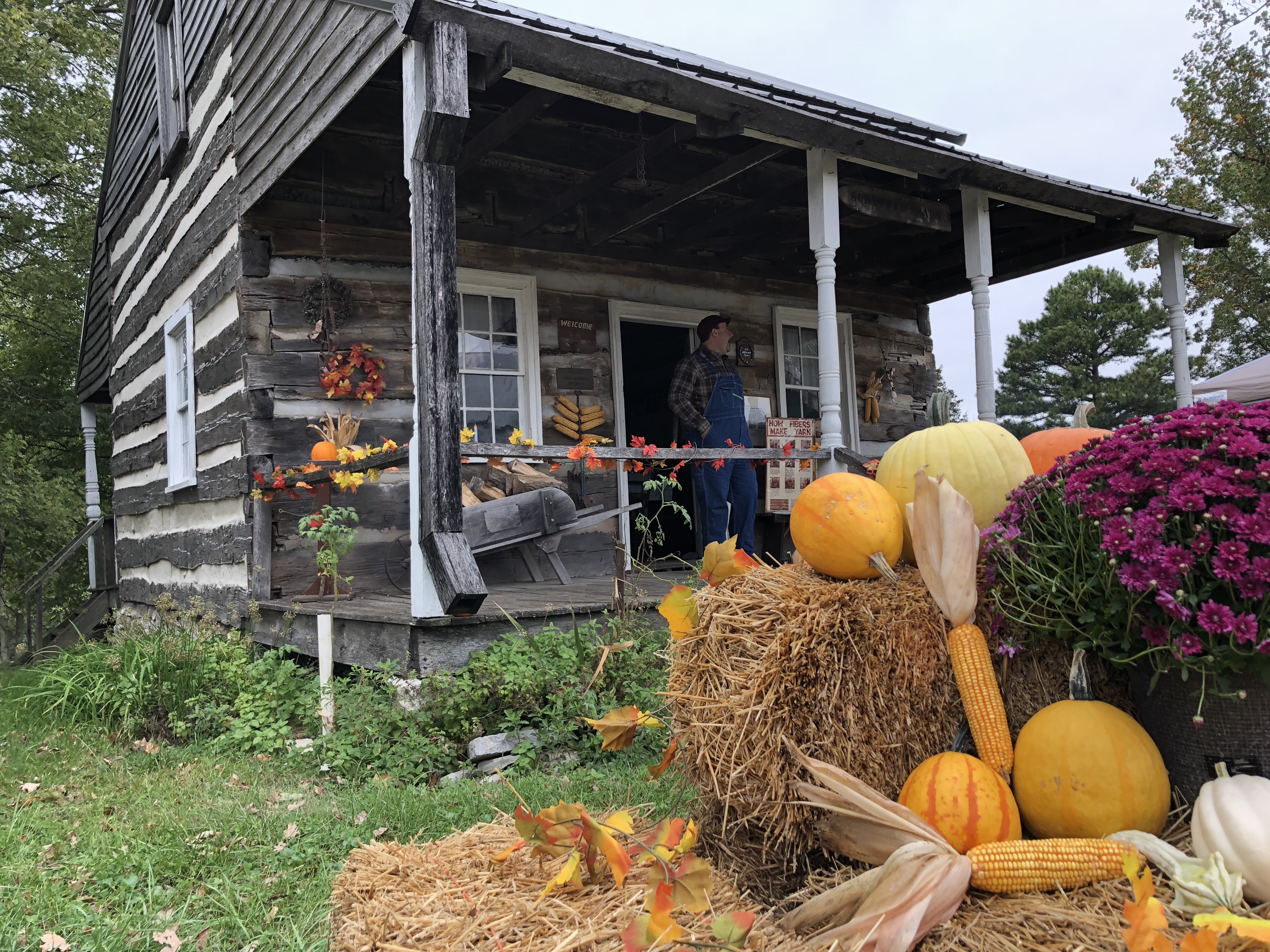
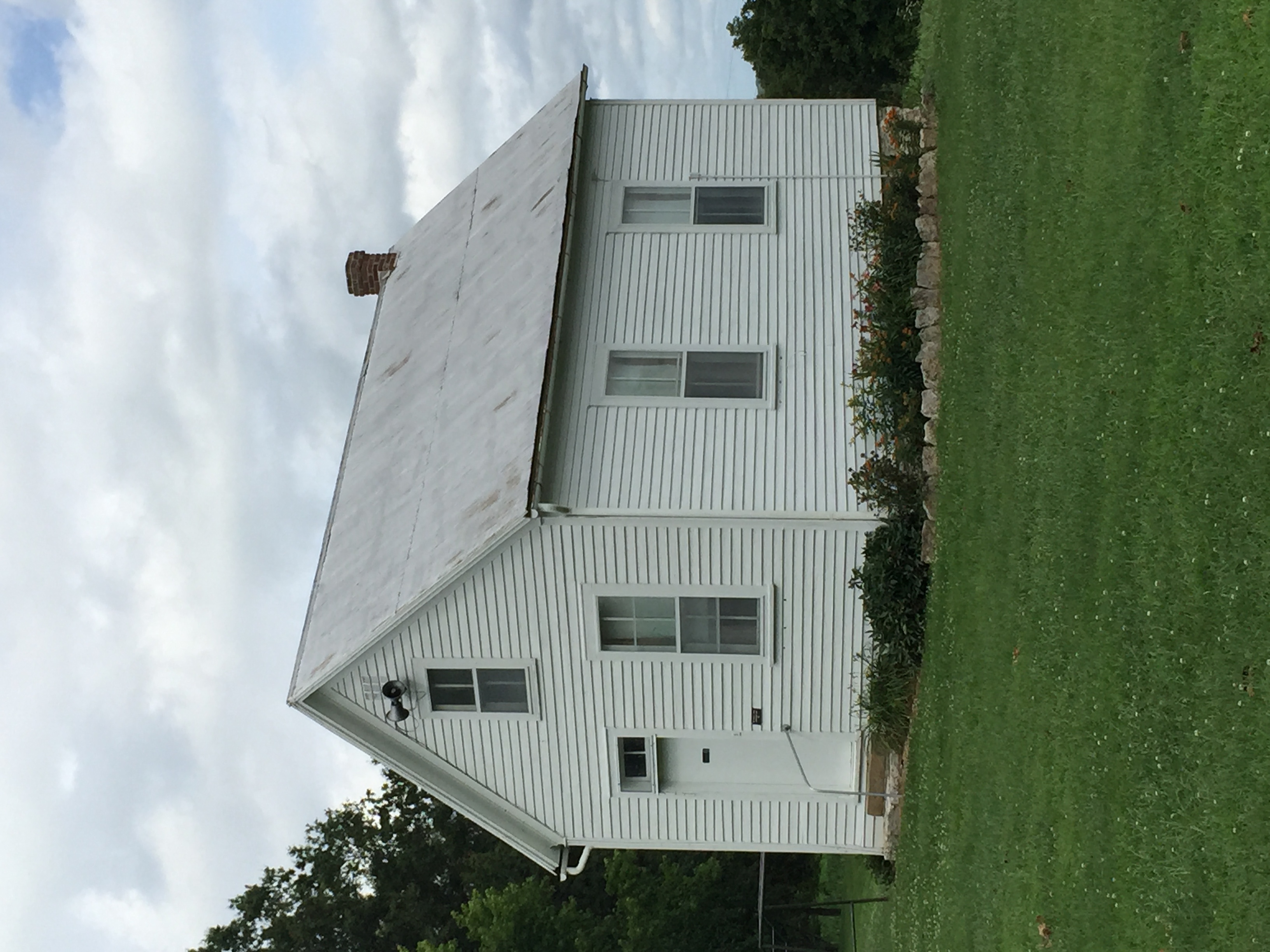
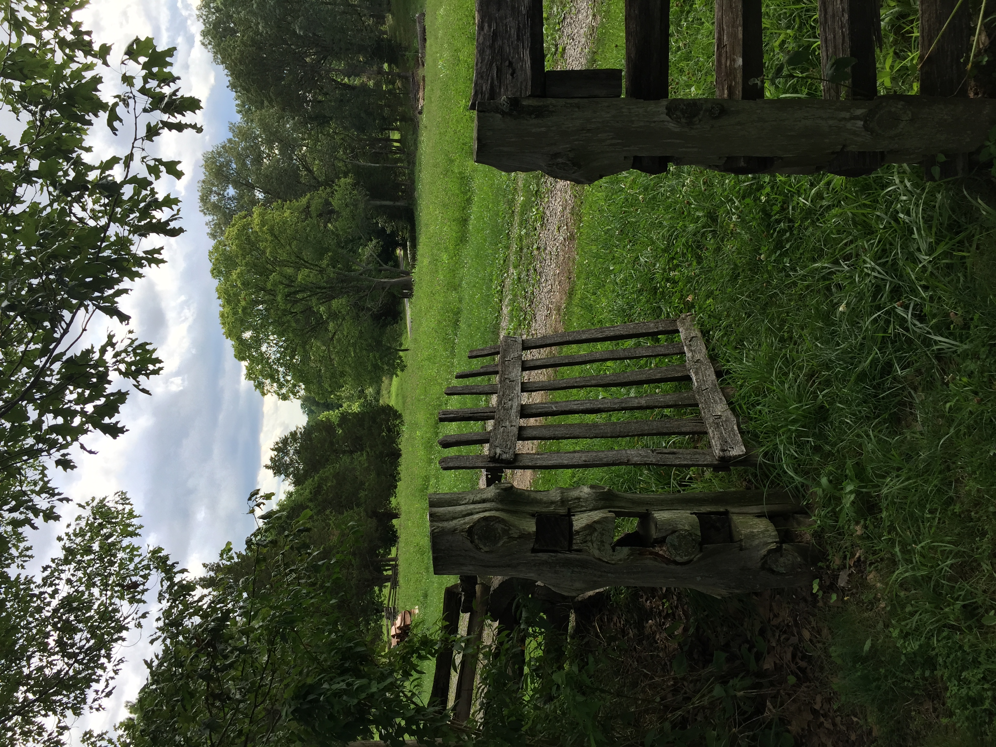
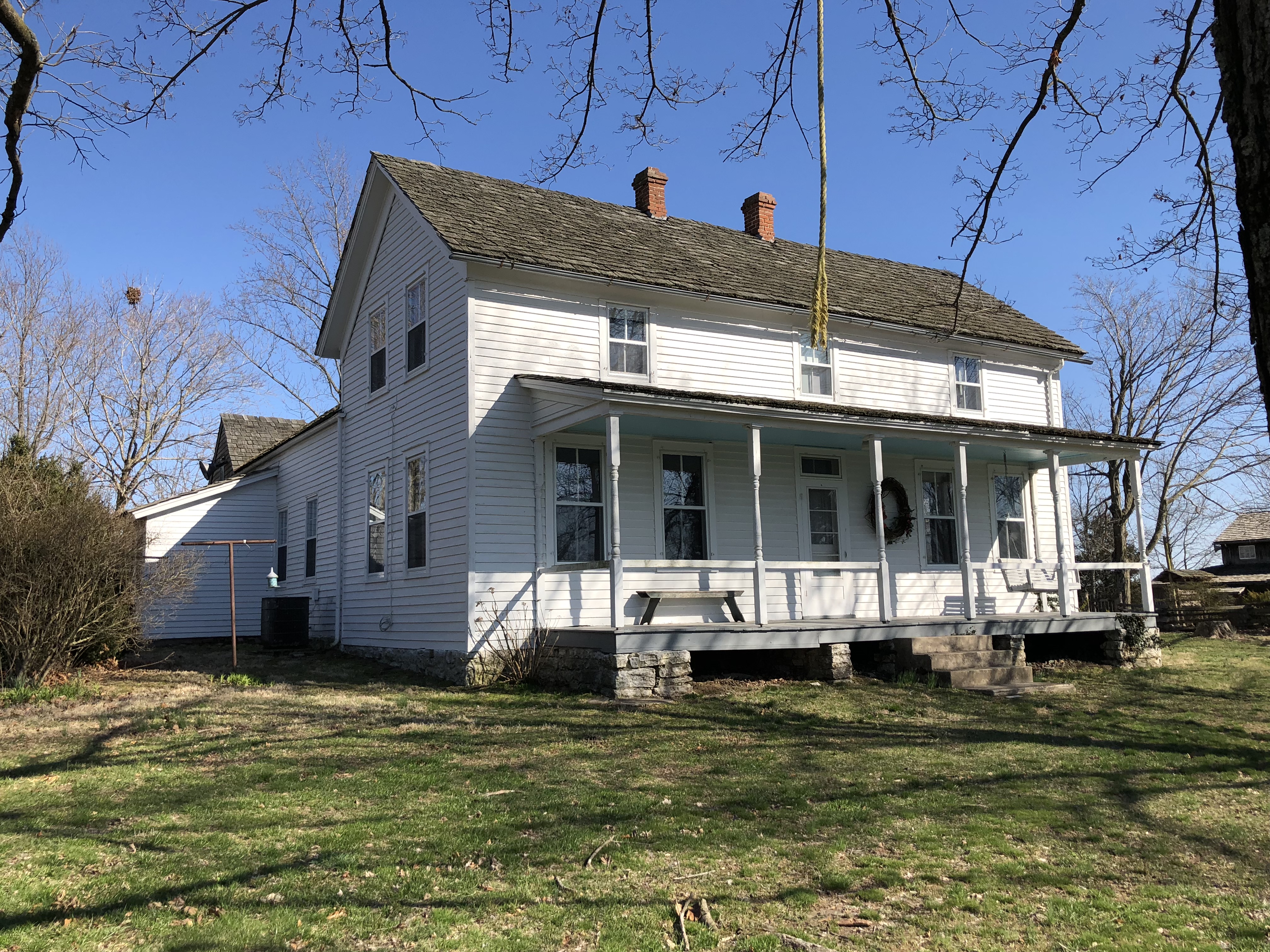
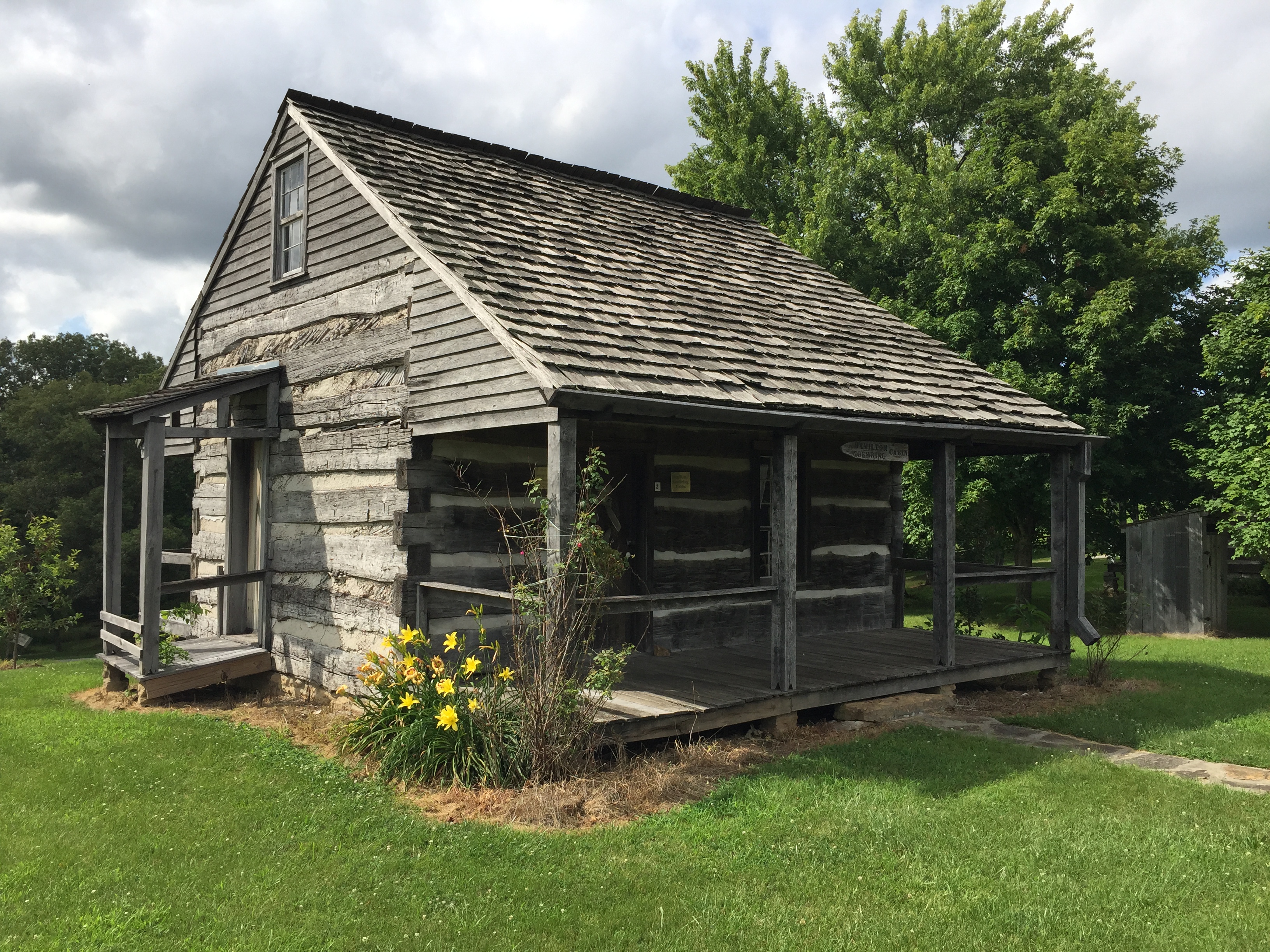
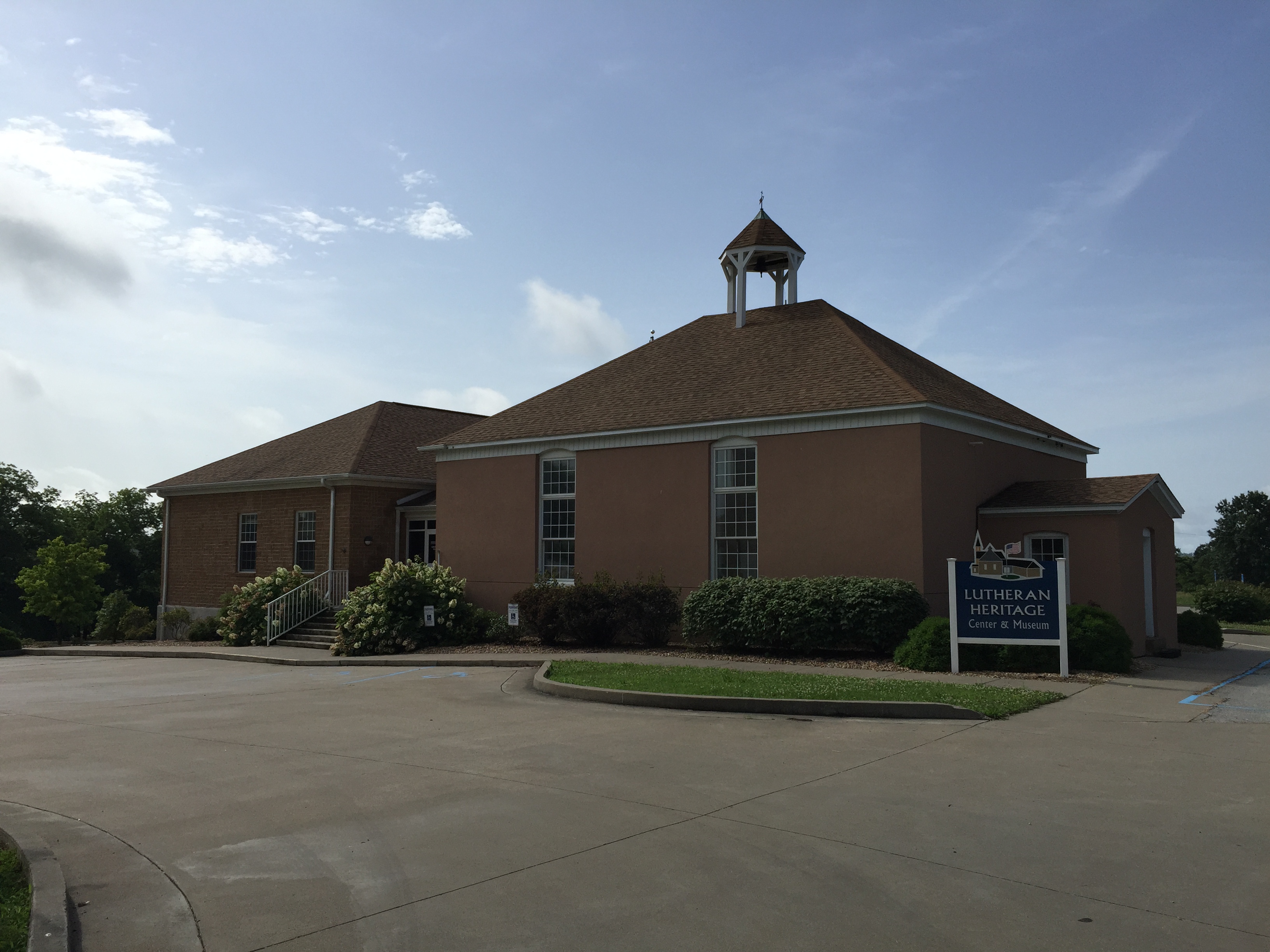
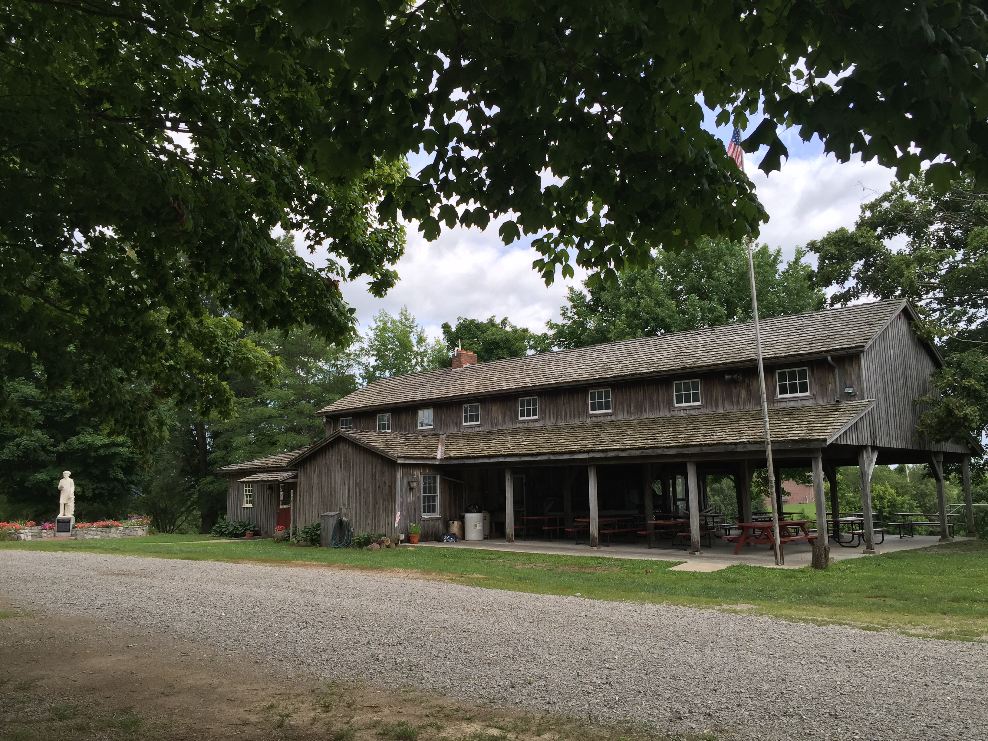
Saxon Lutheran Memorial
Arts and Culture
Museum, Theatre, or Intrepretive Center
History
296, Saxon Memorial Drive
Frohna
Missouri
63748