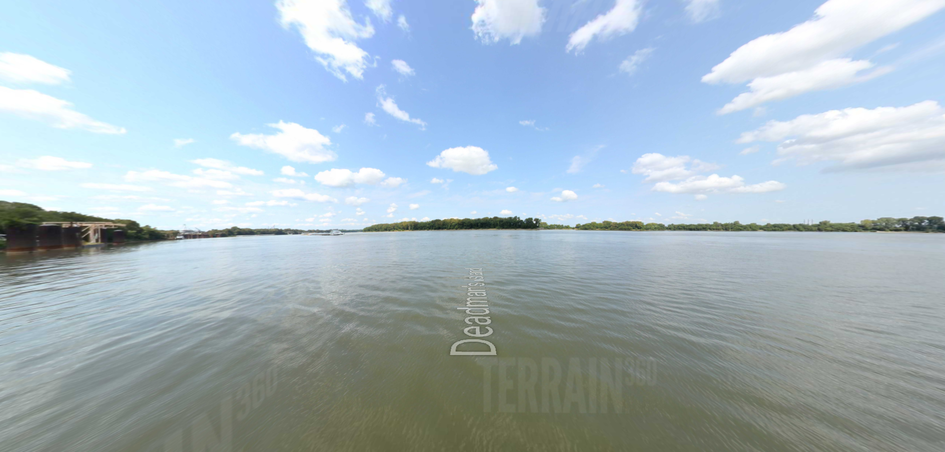
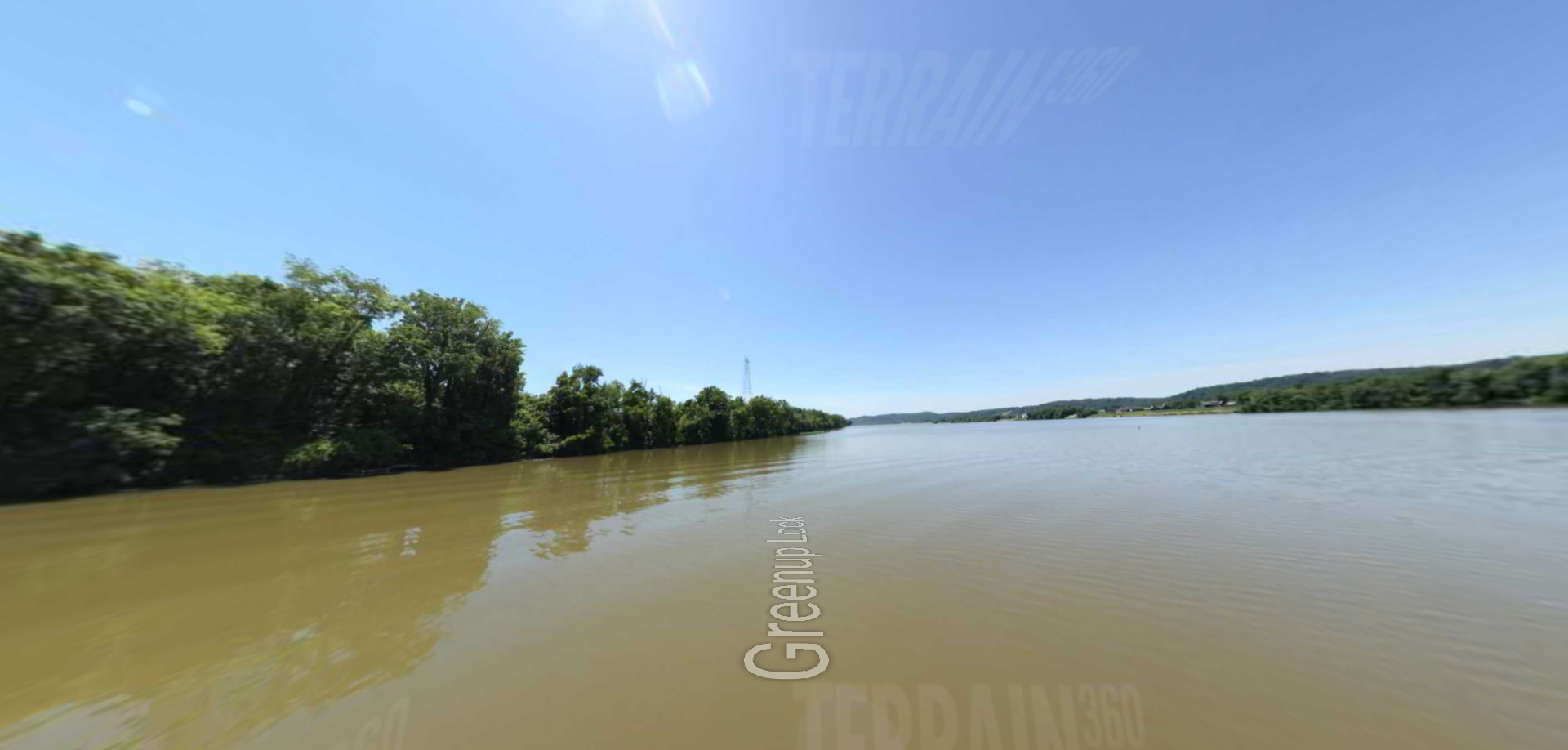
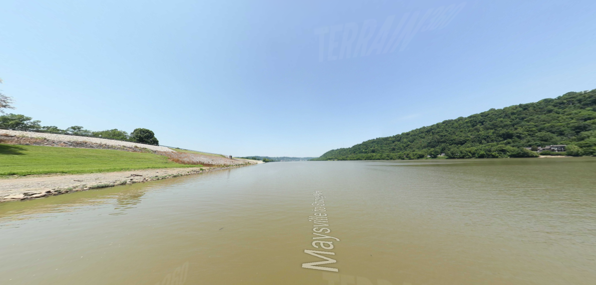
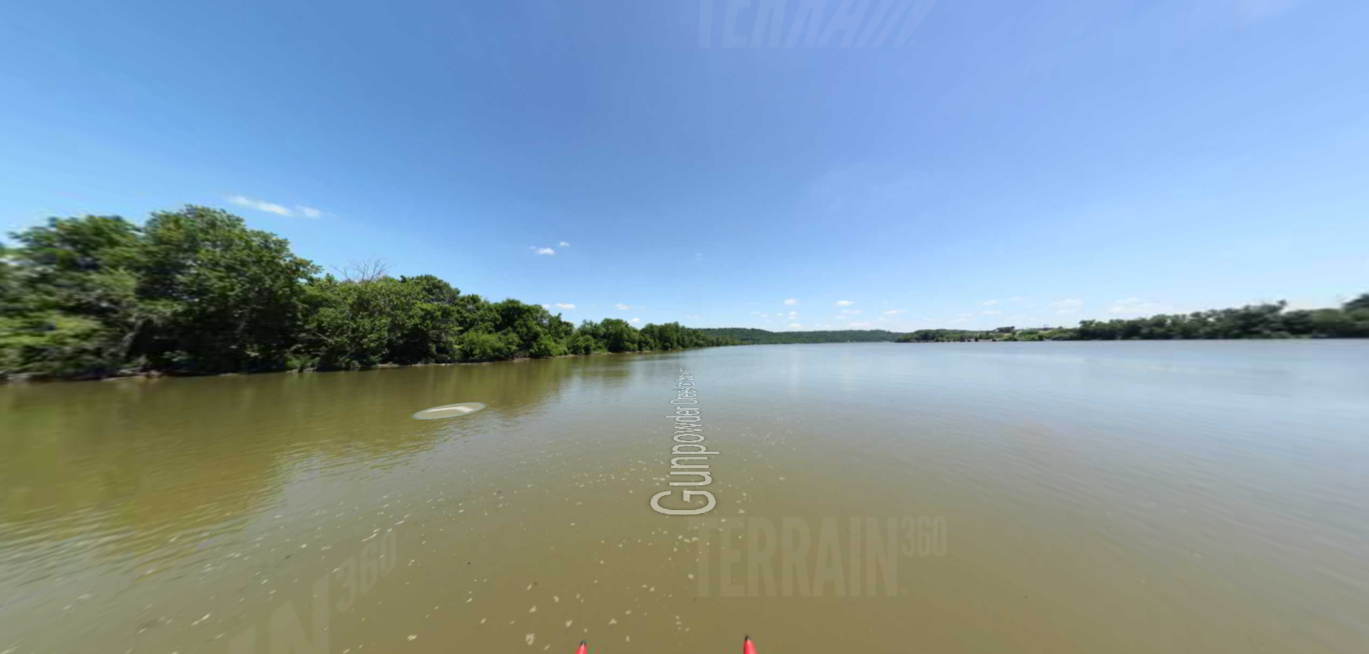
Stoney Point to Chilo Lock
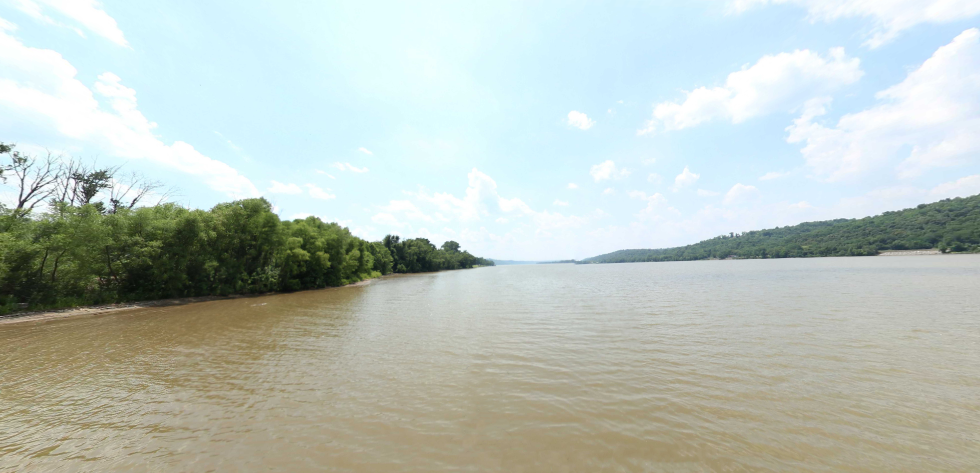
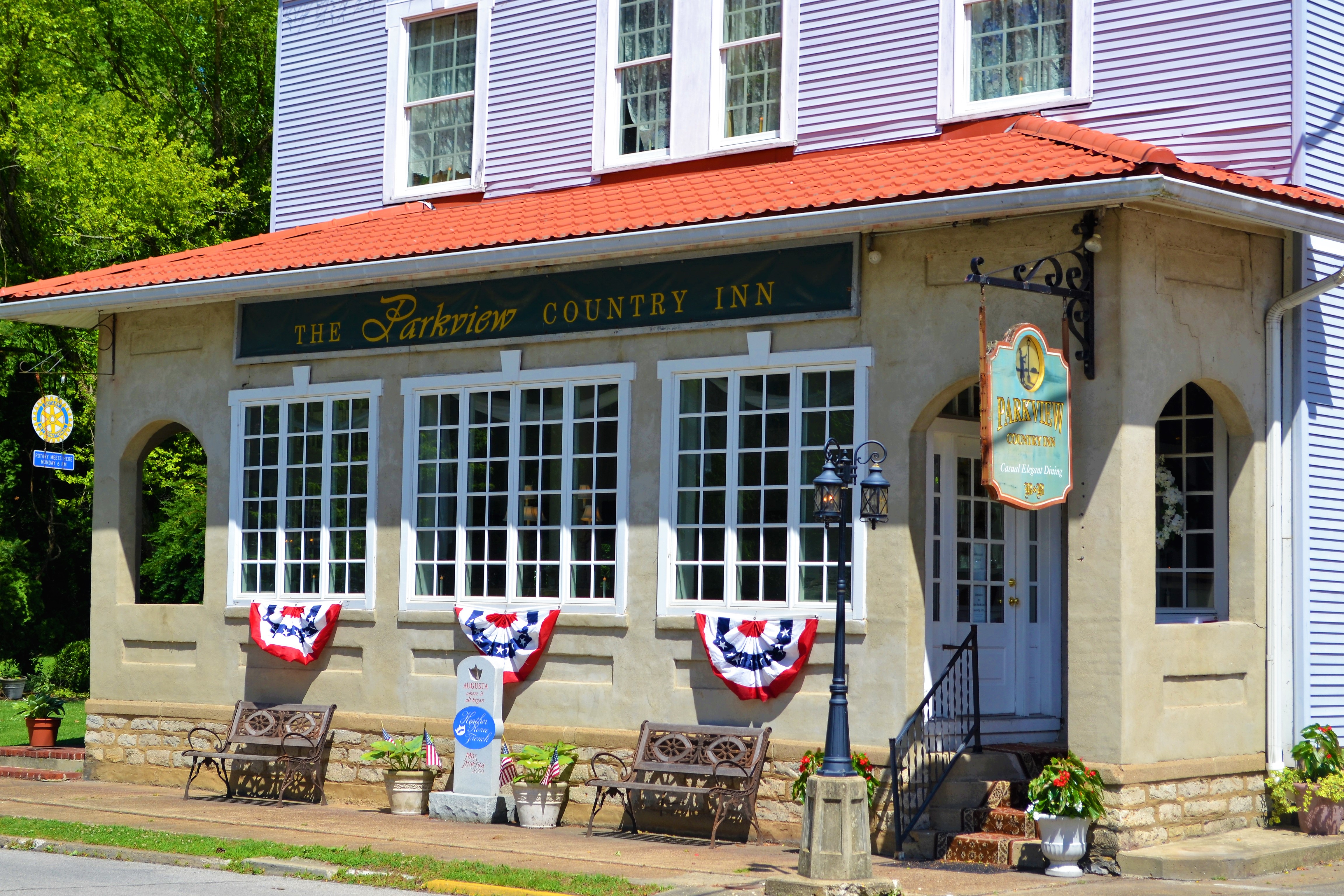
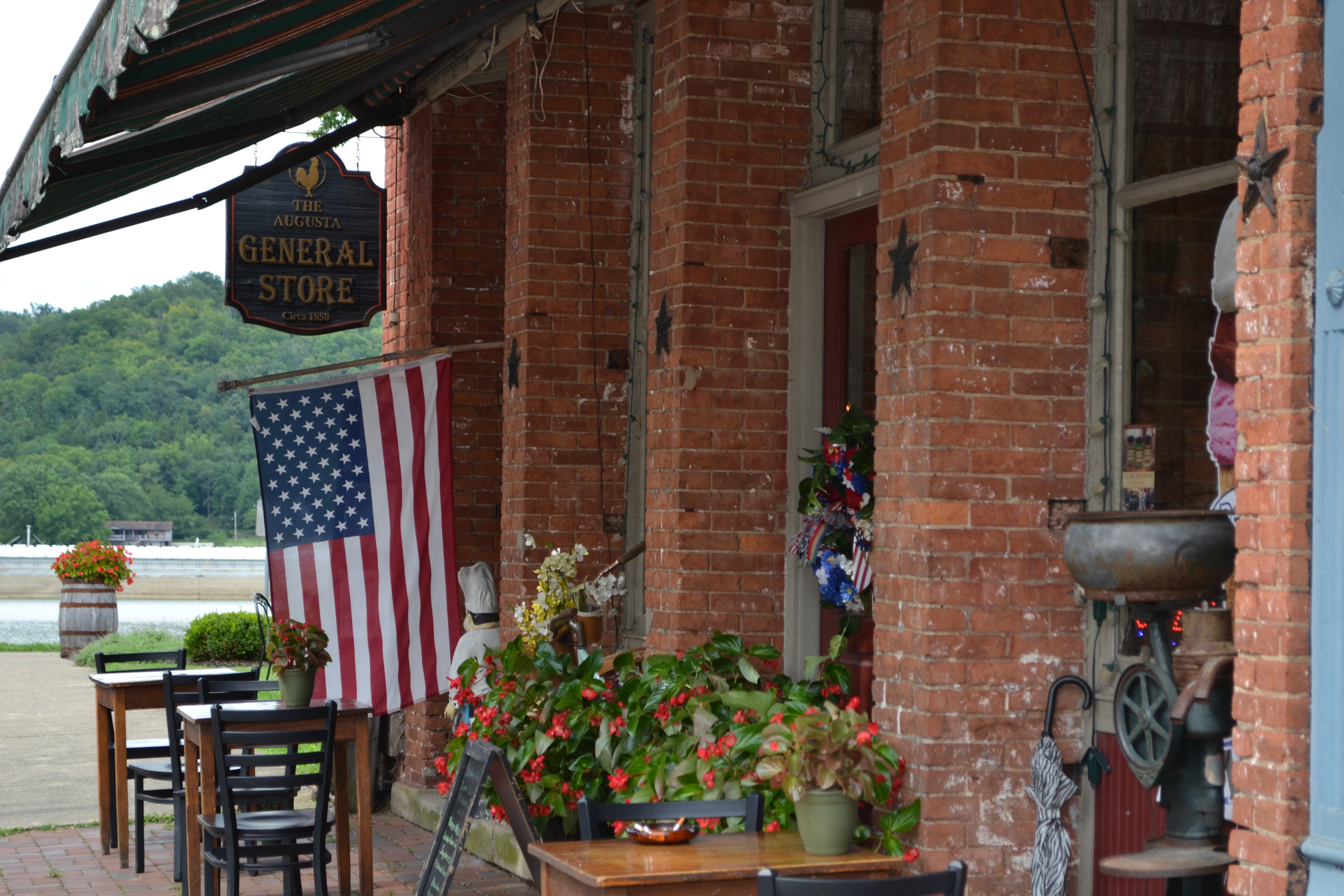
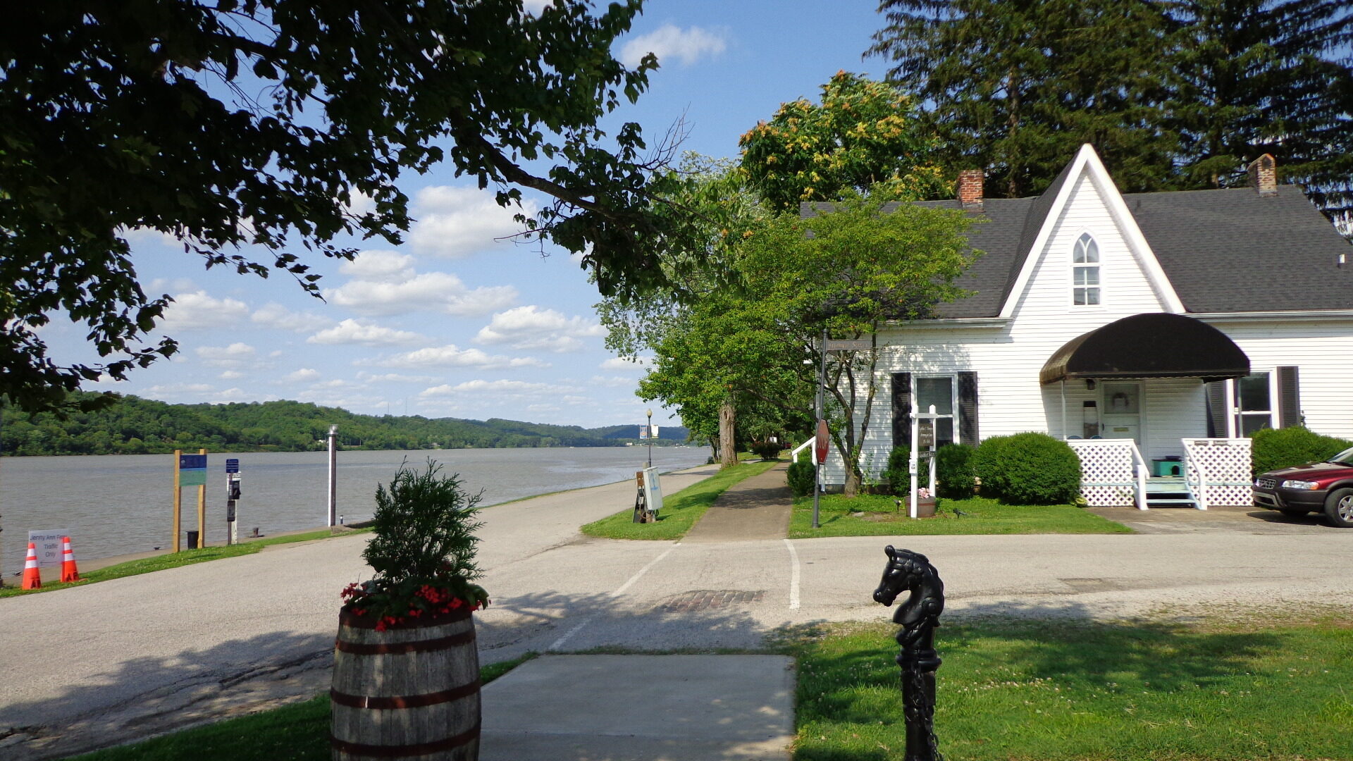
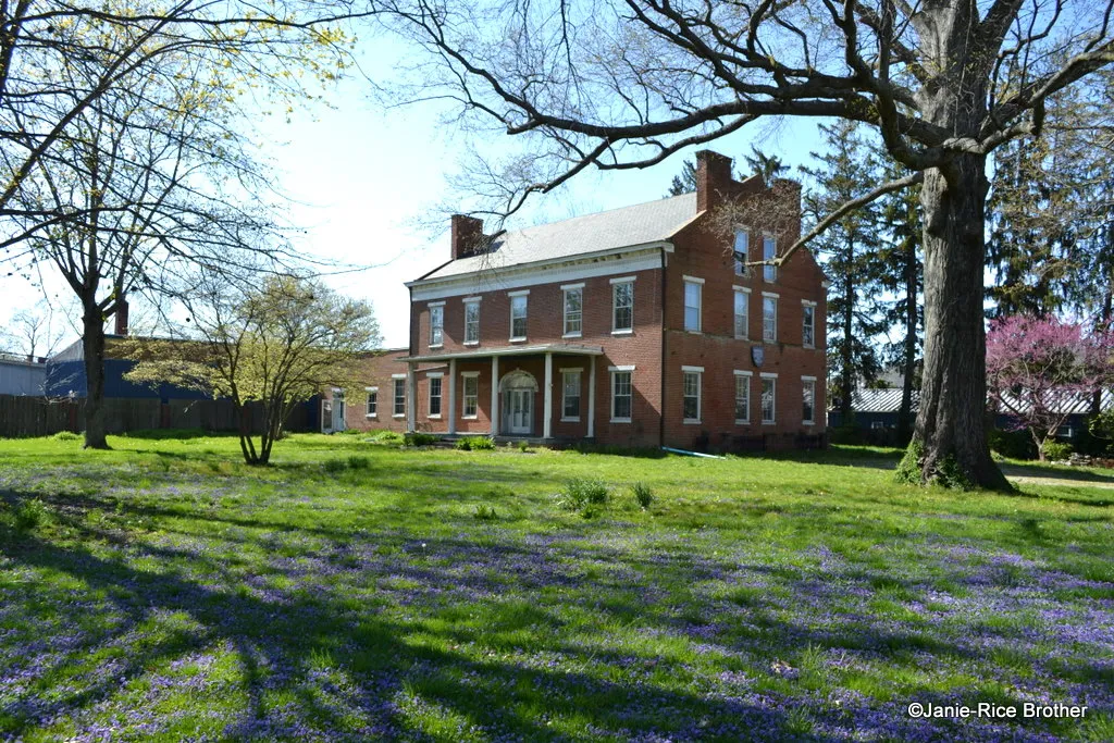
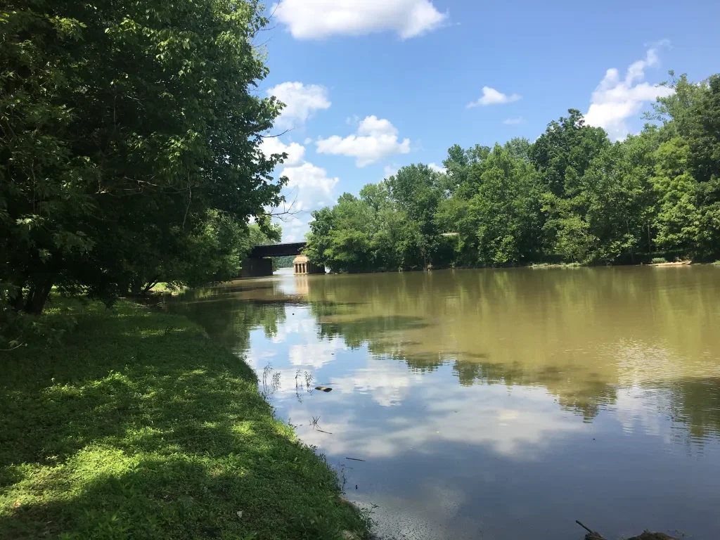
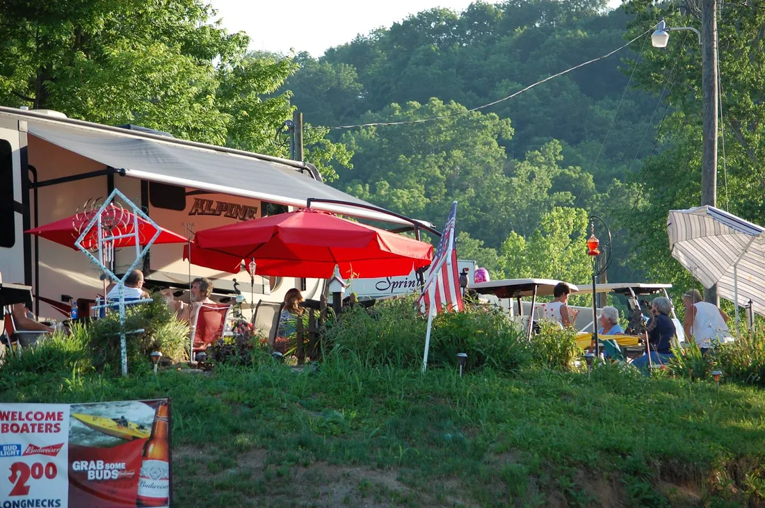
This section of the virtual tour of the Ohio River begins at Stoney Point, Kentucky and passes through Higginsport, Ohio and Augusta, Kentucky. The tour passes by several riverside campgrounds including Poker Flats, Shady Rest Riverside, and Runabouts.
Distance Unit:
Distance Unit: