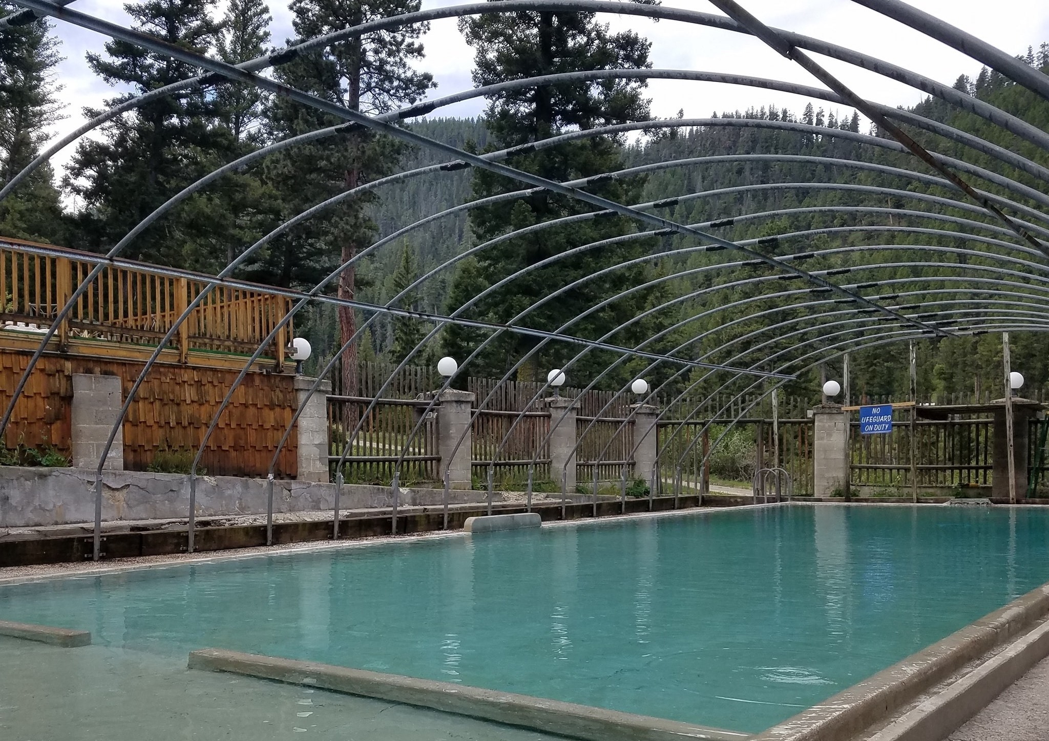
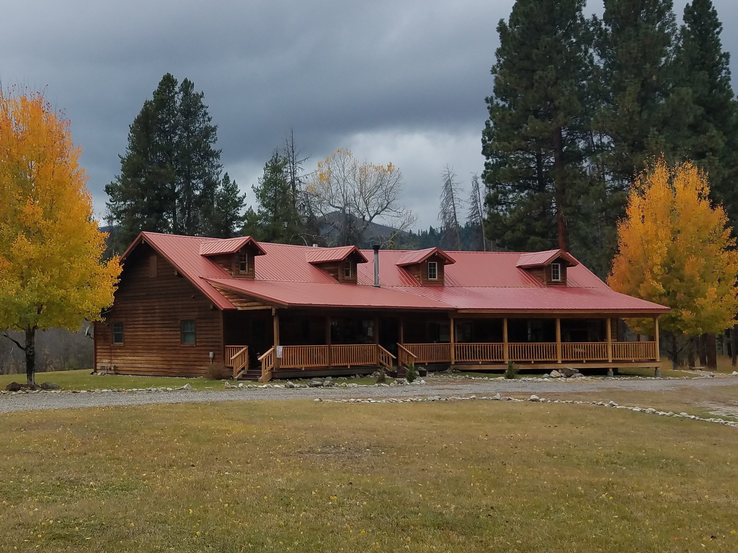
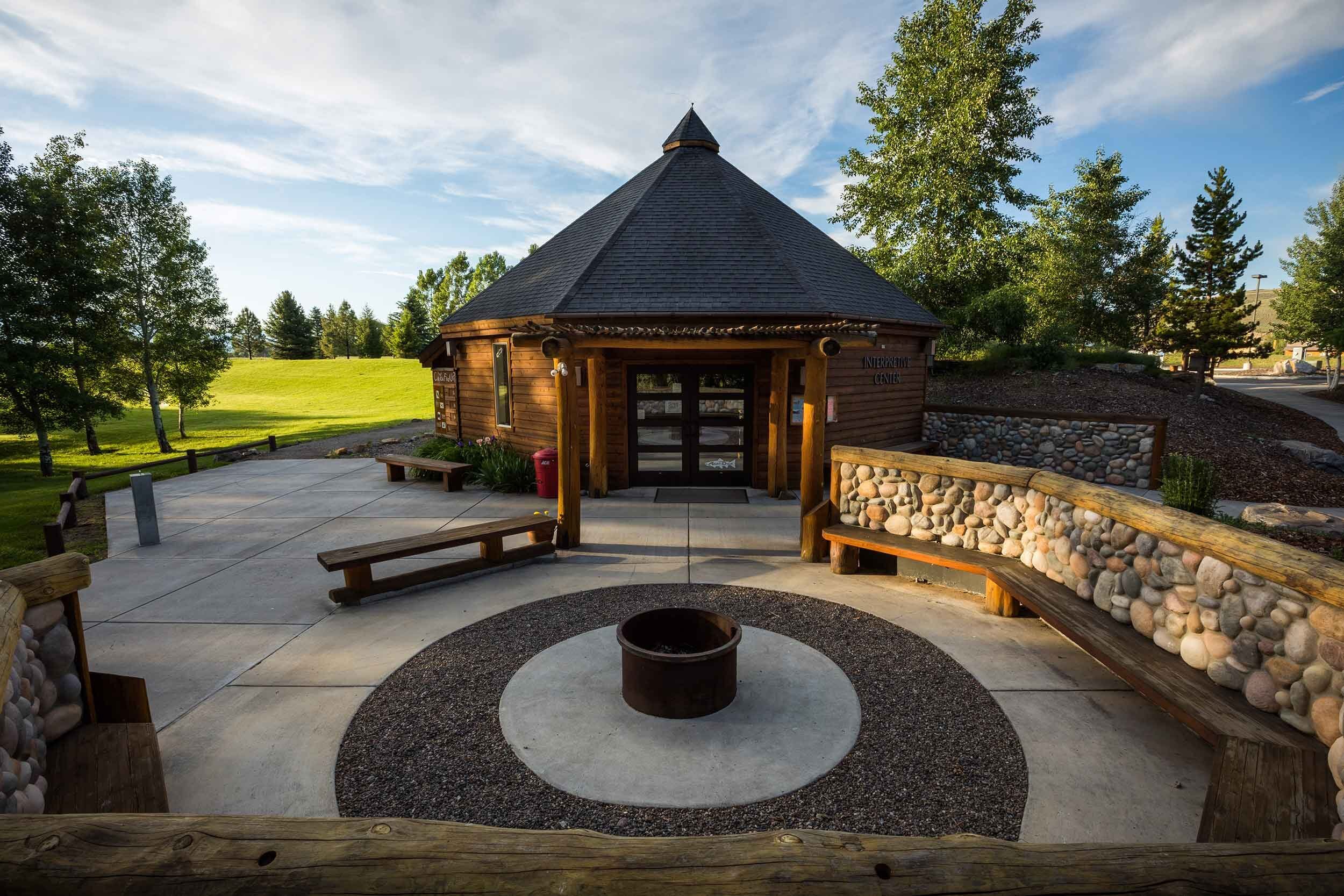
Wagonhammer RV Park Camp and Campground
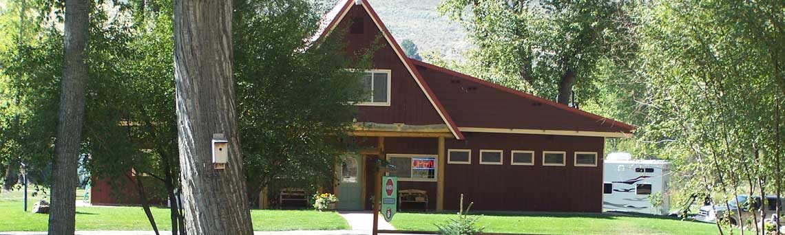
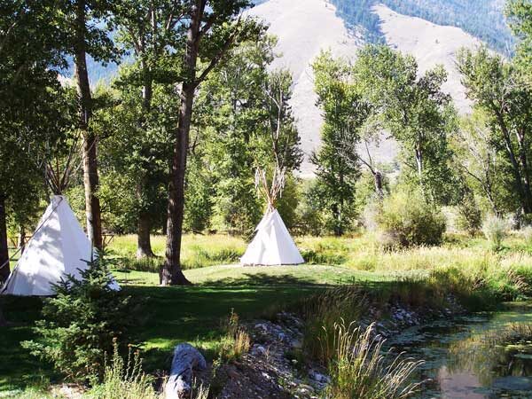
Wagonhammer HV Park & Campground conveniently located between Salmon Idaho and the Montana border allows guests easy access to the best outdoor adventures and stunning scenic views. The facility is a 52-space, family-friendly Park that includes 30 and 50 amp services, full and partial hook-ups, tepee camping rentals and tent sites offering something for everyone.
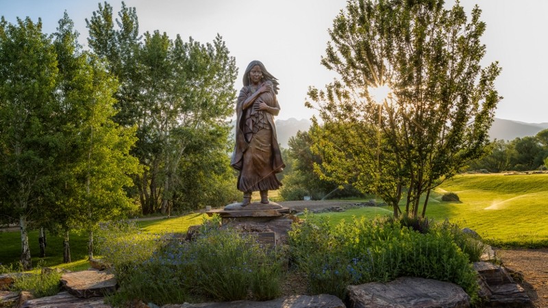
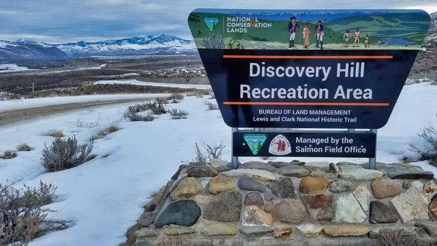
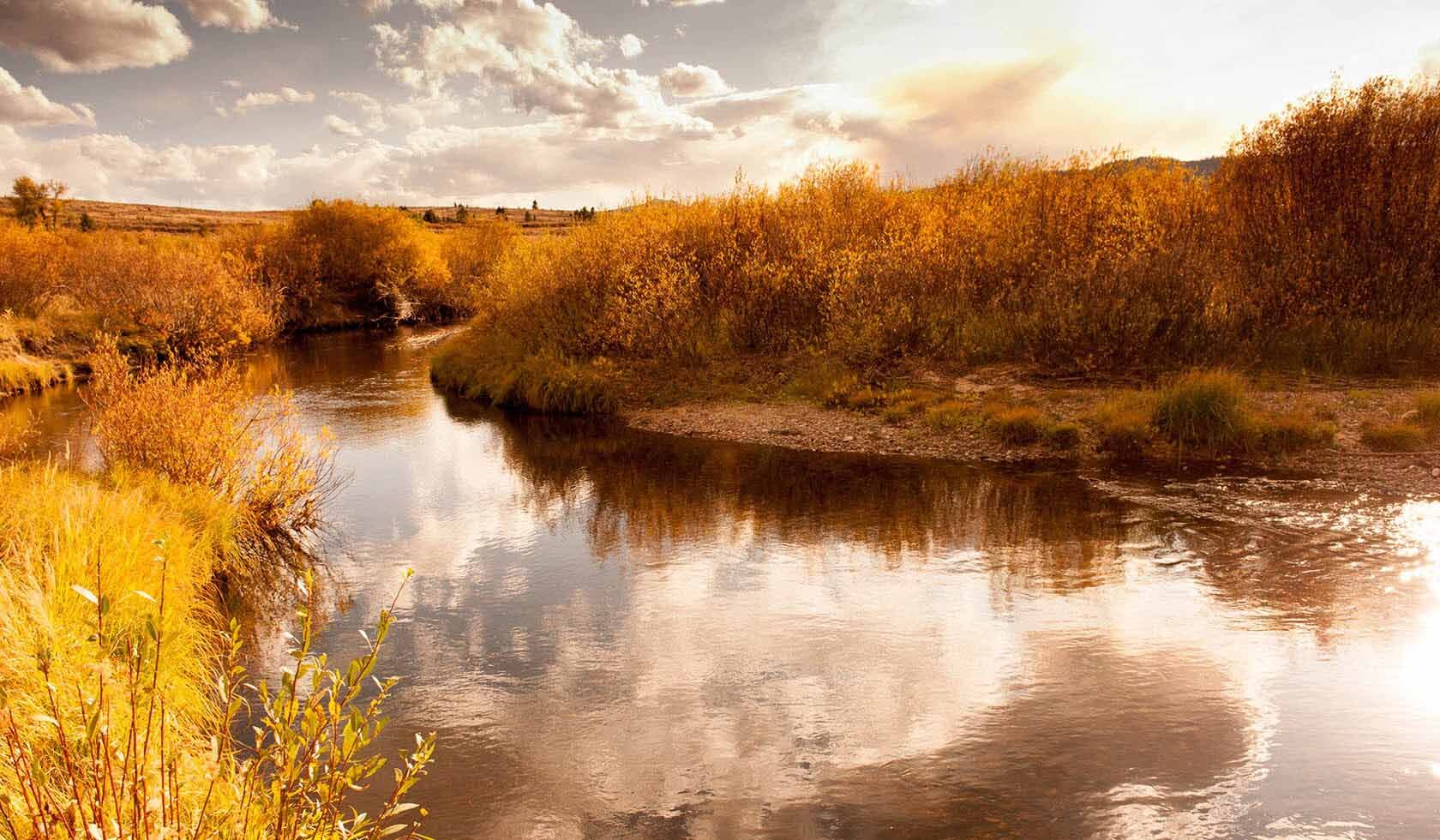
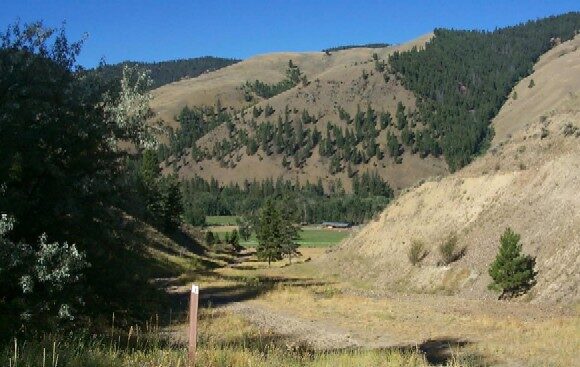
This is a perfect place to stay if you wish to visit the Wagonhammer Springs, located across the road. Wagonhammer Springs Picnic area was built in the 1930s, and the trail that Lewis and Clark took can be reached by walking approximately two miles up Wagonhammer Creek to the mouth of Thompson Gulch; follow the marked trail to the left. What you will see and experience along the trail are unique flowers, a fun ranch road climb and great tasting water – maybe even the best one you will ever drink!
Distance Unit:
Distance Unit:


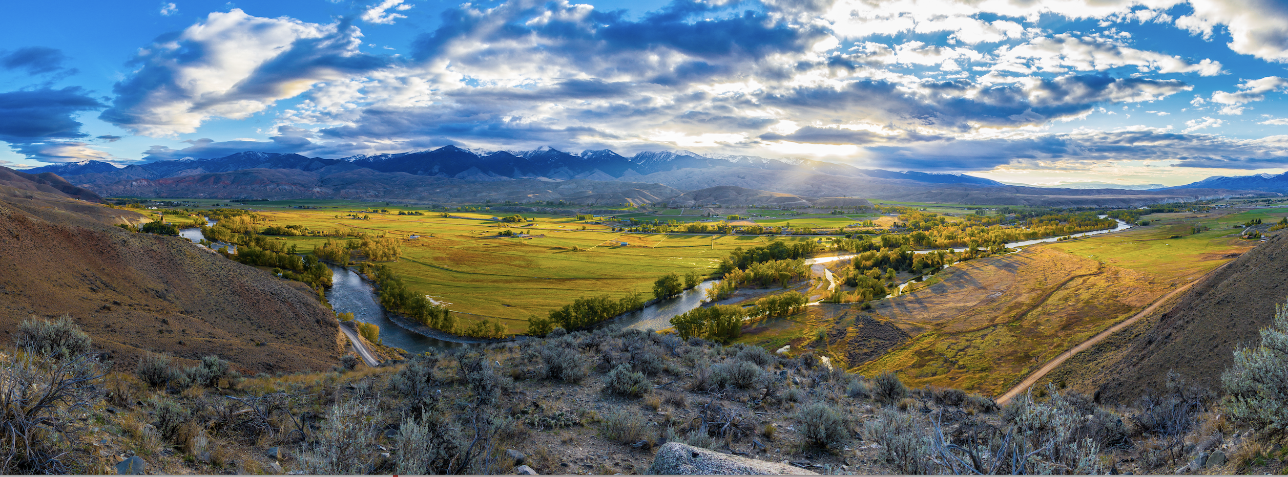
A trail starting at Hauser Dam and overlooking the Missouri River.