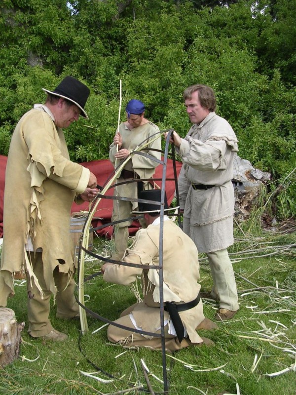
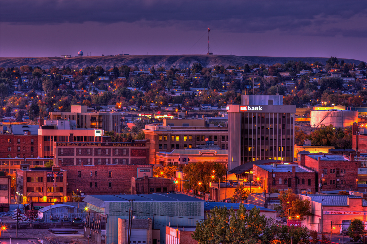
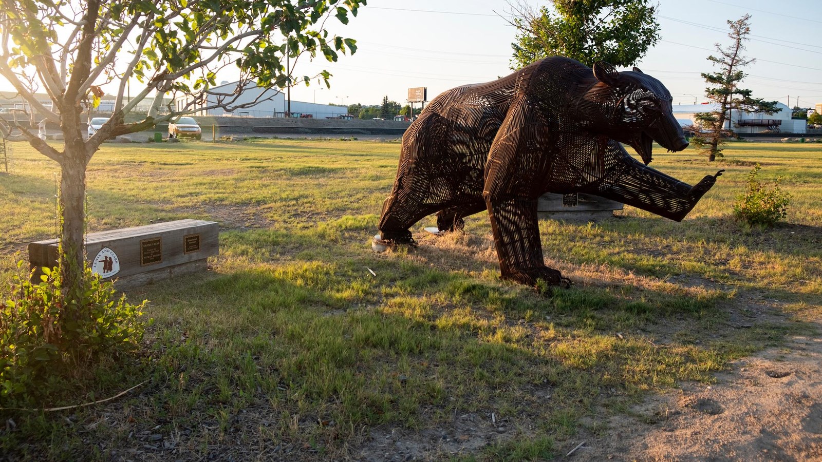
The Falls of Great Falls
“…the grandest sight I ever beheld…whin my ears were saluted with the agreeable sound of a fall of water and advancing a little further; I saw the spray arise above the plain like a collumn of smoke . . . which soon began to make a roaring too tremendous to be mistaken for any cause short of the great falls of the Missouri…”
-Captain Meriwether Lewis
The best view of The Great Falls is done from the highest peak at Ryan Island Park, which is accessed from a suspension bridge across the Missouri River. After traveling a two-lane road that provides views of the expansive high plains and agricultural land, you will arrive at the viewing point of the Great Falls, located at 160 Ryan Dam Road.
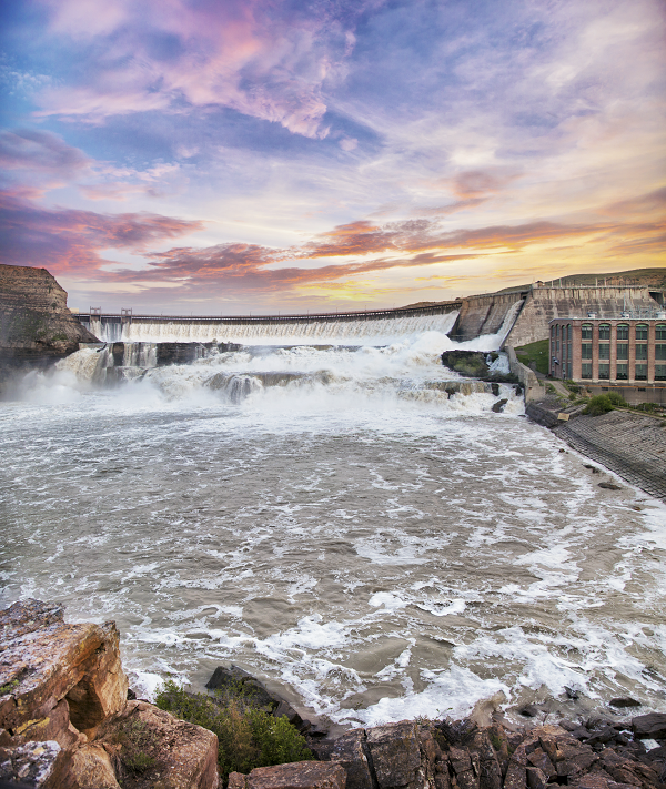
There are few hints given along the way of the canyon or the river contained at the end of the road. The roar of the falls is best witnessed in the Spring, just like Captain Lewis experienced. The canyon walls show the arduous task of portaging around the Falls that laid ahead of the Expedition. Although Ryan Dam, constructed in 1915, controls the flow of the water over the falls, the enormity of The Great Falls is still impressive. The dam follows the natural break in the landscape that created the falls and was more than 80 feet high when first seen by Captain Lewis. Today, The Great Falls stand 148 feet due to the dam.
Upstream 7 miles from the Great Falls, Crooked Falls flows over an irregular shelf, 19 feet high and 300 yards across. Untouched by a dam, and inaccessible by vehicle, Crooked Falls can be witnessed today just as the Expedition saw it in 1805.
Recorded by Captain Lewis as “Beautifull Cascade” in his journal, Rainbow Falls’ “cascade of about fifty feet perpendicular” was untouched when the dam was constructed in 1910. You can see the magnificent Rainbow Falls at 6401 Giant Springs Road.
A half mile upstream from Rainbow Falls, the smaller, 6 foot Colter Falls could be found. Set behind Rainbow Dam, these falls are now submerged.
Nearest to Great Falls’ city limits, Black Eagle Falls are 2.5 miles above Rainbow Falls. At 26 feet high and 600 yards, these falls were the first to be dammed in 1890. From the top of these falls, the confluence of the Missouri River with the Sun River is visible and from the bottom, Black Eagle Memorial Island Park gives you the closest breathtaking vantage possible. These dramatic falls are located at 5401 River Drive North.
The old town site of Morony still stands and offers a glimpse into where present-day Great Falls almost was. Below Morony Dam is great fishing and a natural spring, Sulphur Springs, accessible by foot or bicycle on River’s Edge Trail.
Cochrane is the newest dam, constructed in 1958, between The Great Falls and Crooked Falls and is only seen along the River’s Edge Trail while walking or biking.
Distance Unit:
Distance Unit:


The Blackfoot River, sometimes called the Big Blackfoot River to distinguish it from the Little Blackfoot River, is a snow-fed and spring-fed river in western Montana.