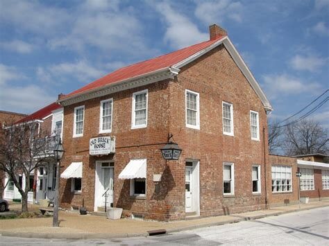
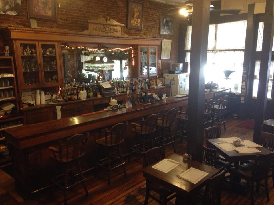
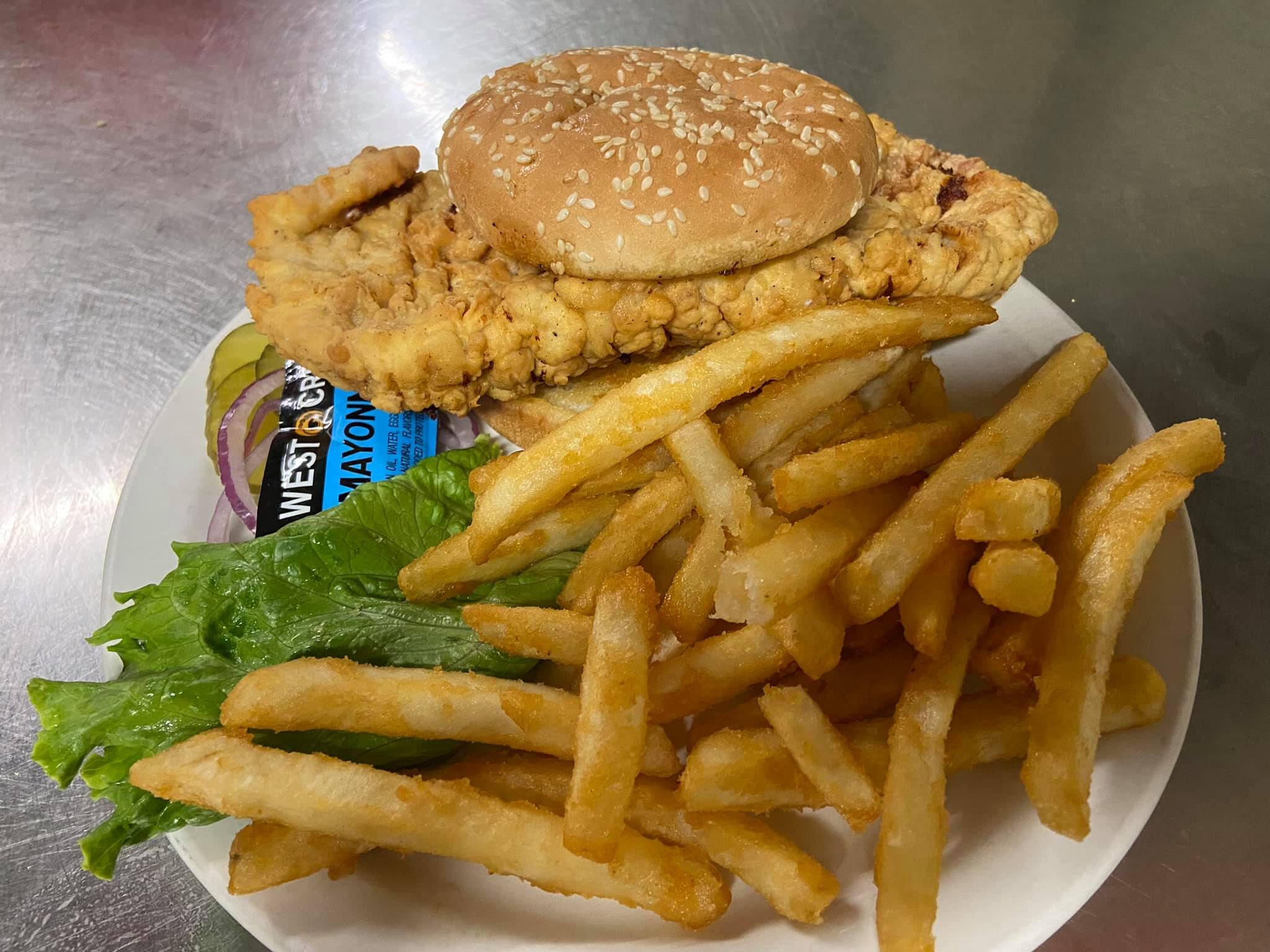
The Anvil Saloon & Restaurant
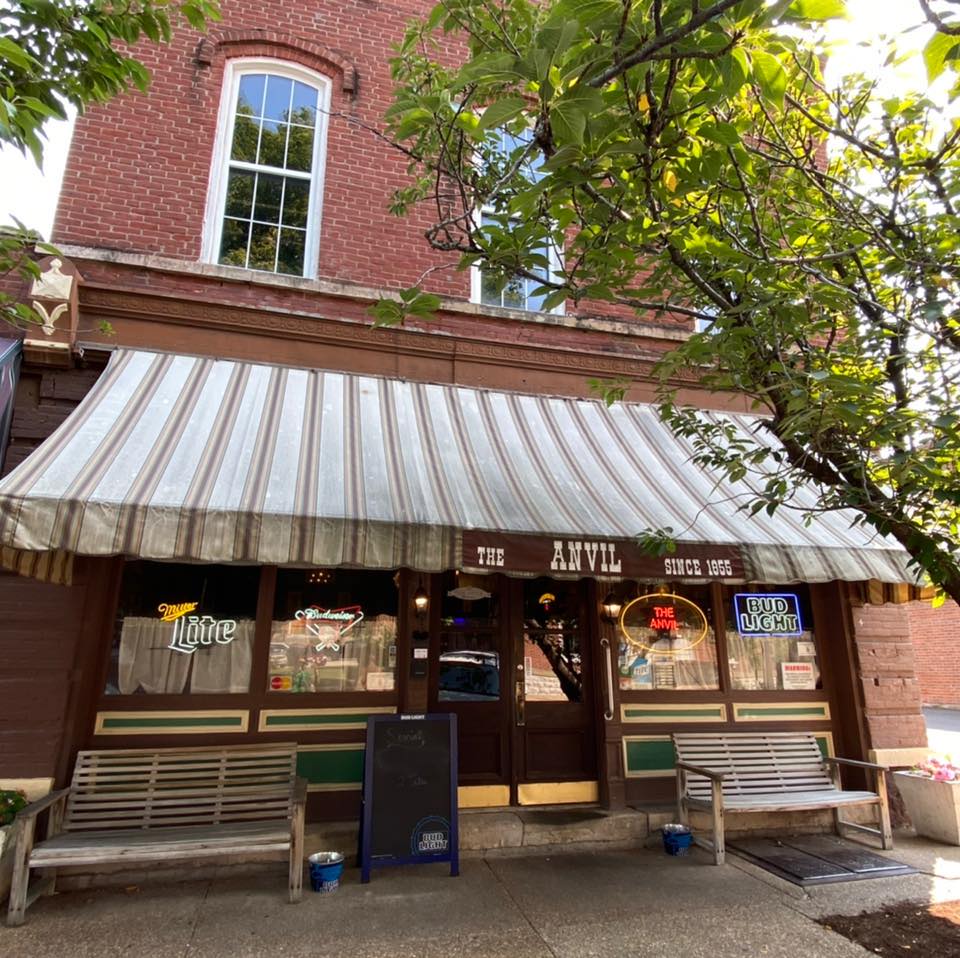
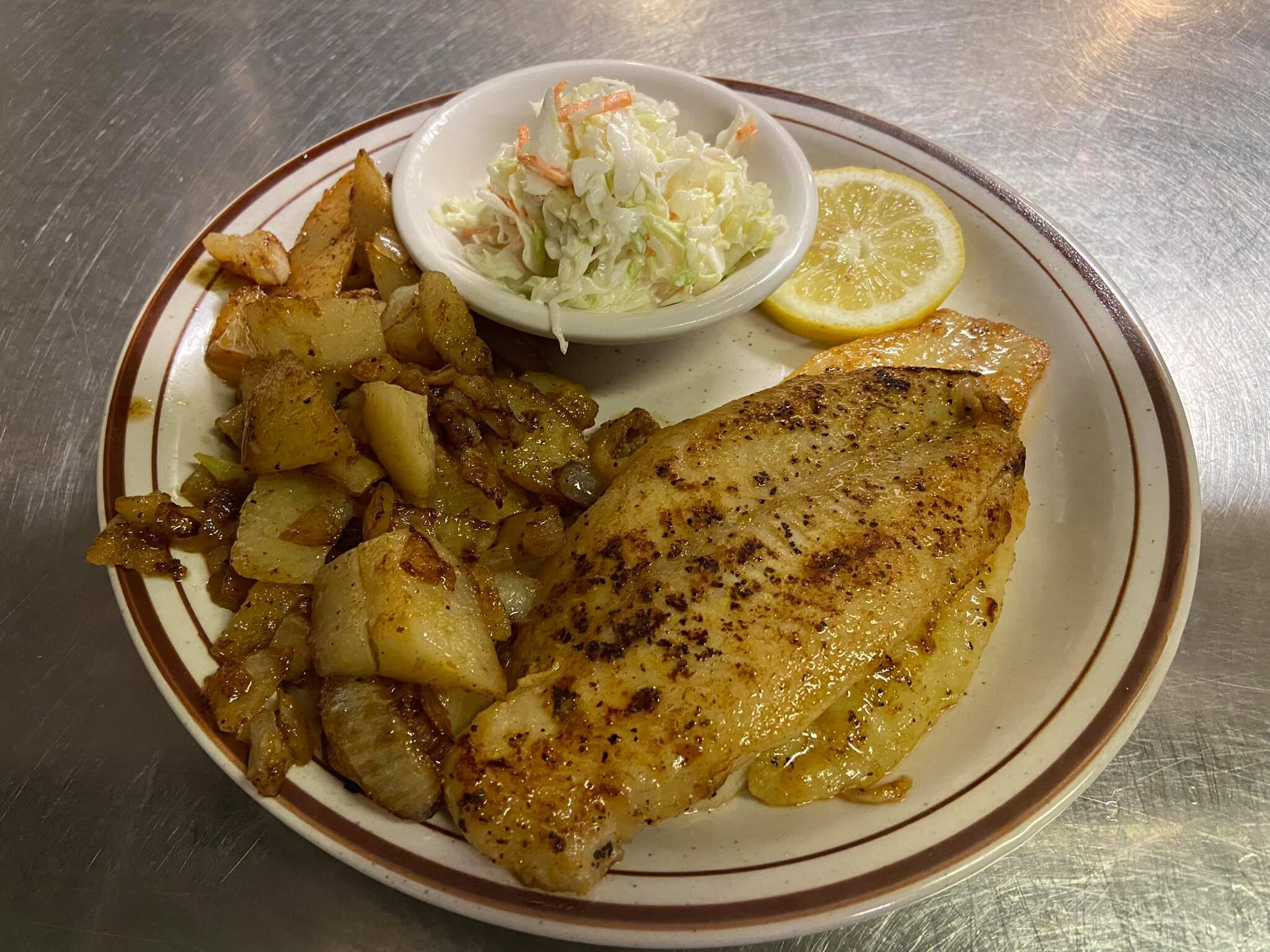
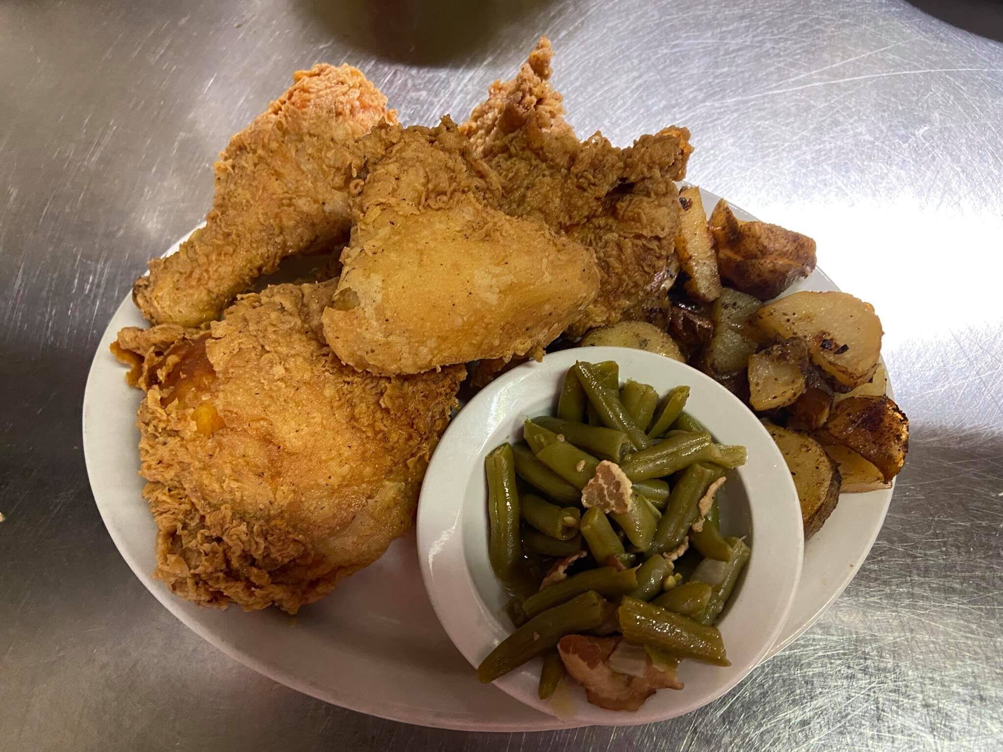
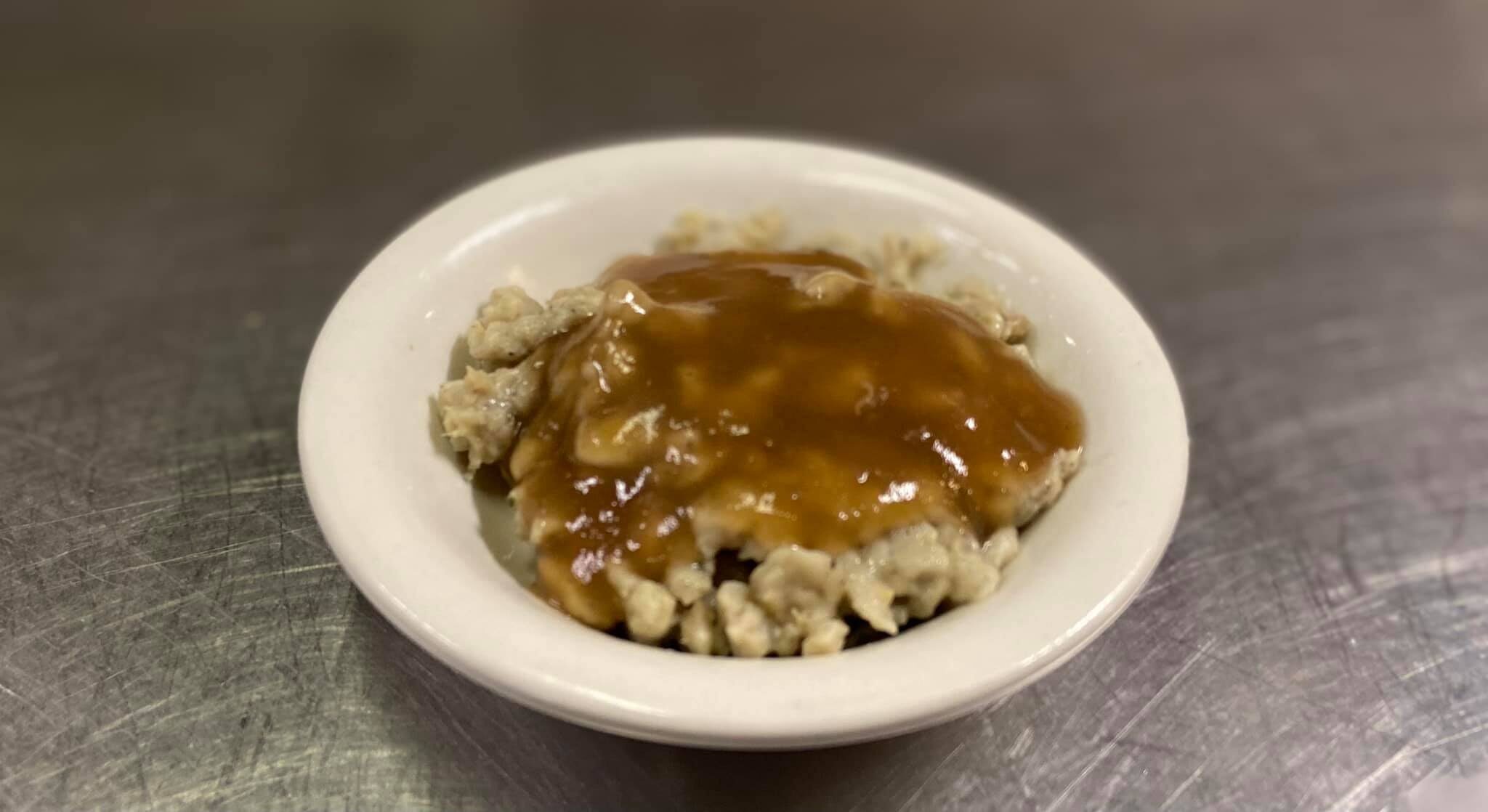
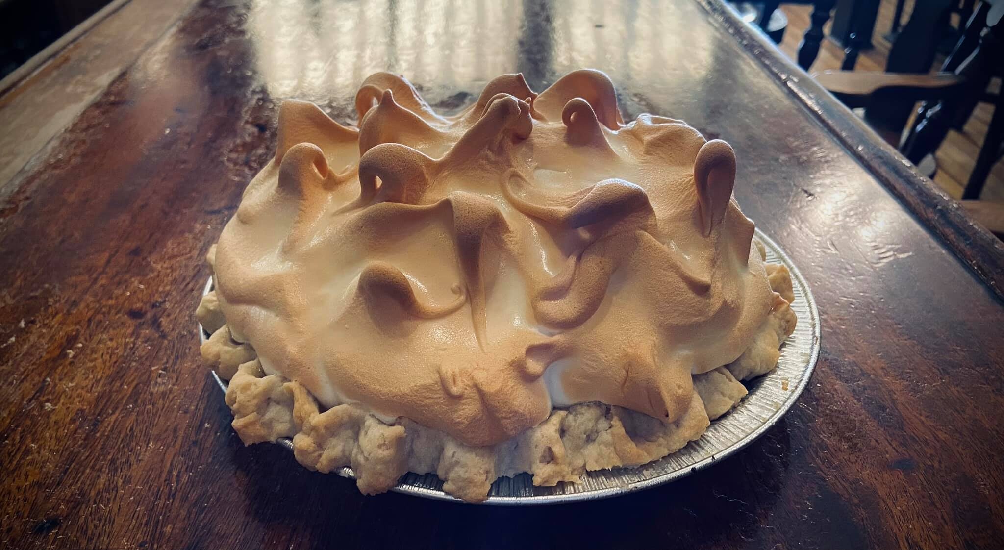
This family restaurant is famous for onion rings, fried chicken, pork tenderloin, and homemade desserts. The Anvil also serves roast beef, liver and onions, steaks, fish, and shrimp. You can even try a local favorite, liver dumplings! Some other choices include German fries, baked potato, mac and cheese, corn, green beans, salad, or slaw. Sandwiches include burgers, pork tenderloin, open-faced beef, club, fish, and a 1/4 lb Chili dog. A restaurant has occupied this building since 1855. The bar came from an 1850’s steamboat that traveled the Mississippi River until it sank nearby, and one wall downstairs is covered with black and white photos of Ste. Genevieve in the past. Come enjoy a delicious home-cooked meal when you are traveling along the Lewis and Clark National Historic Trail.

Distance Unit:
Distance Unit:

Explore the Trail of Tears State Park to delve into a somber chapter in American history. Here, nine Cherokee Indian groups crossed the harsh winter Mississippi River in 1838-1839 during their forced relocation to Oklahoma.…


A boat ramp that allows visitors to access the Trail of Tears


Here, nine Cherokee Indian groups braved harsh winter conditions while crossing the Mississippi River in 1838-1839, marking a sorrowful chapter in American history. The park also has: shaded picnic sites, hiking and horse trails, opportunities to fish…

A boat ramp to the beautiful Missouri River with a peaceful view of the river.