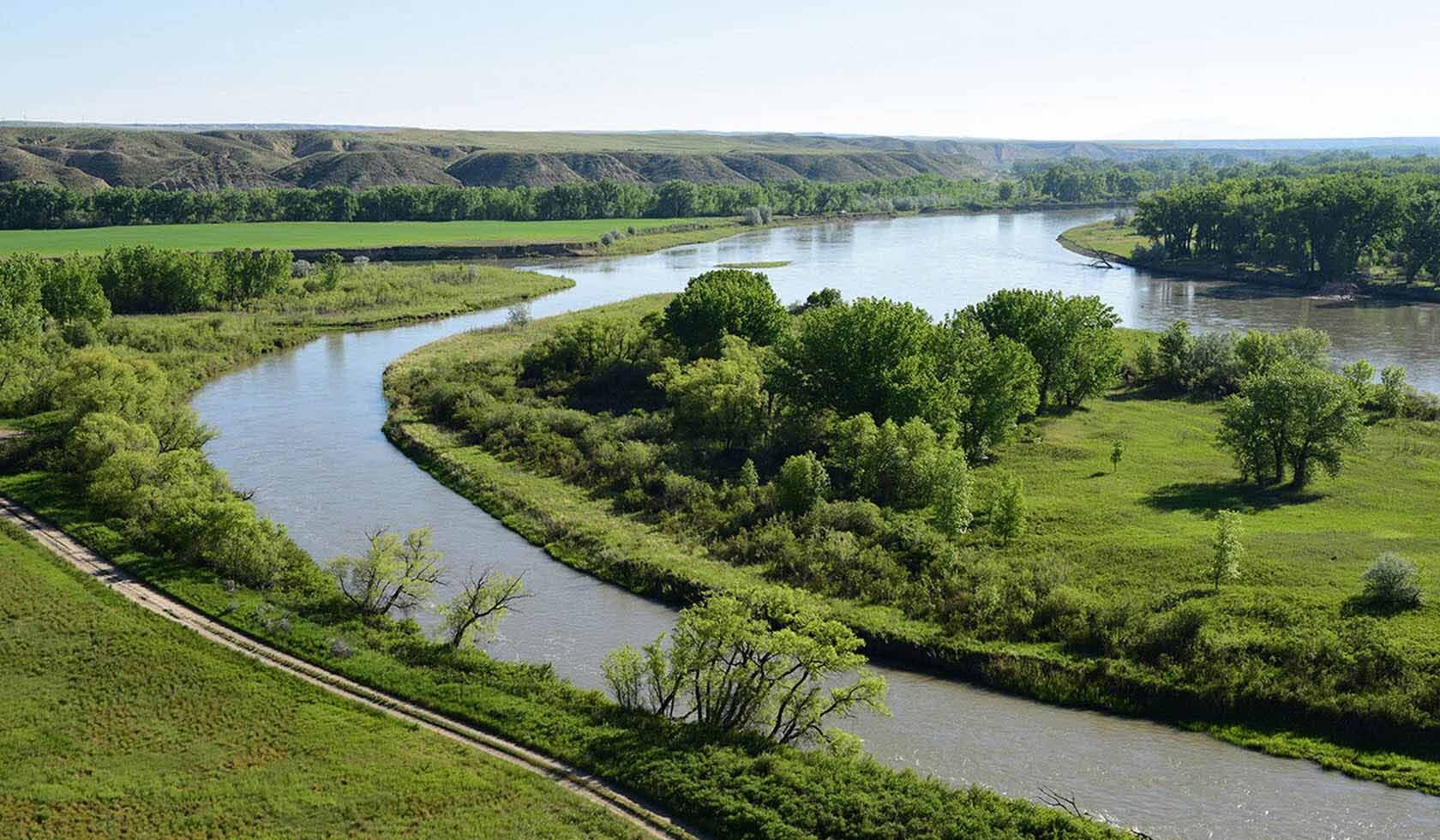
Slaughter River
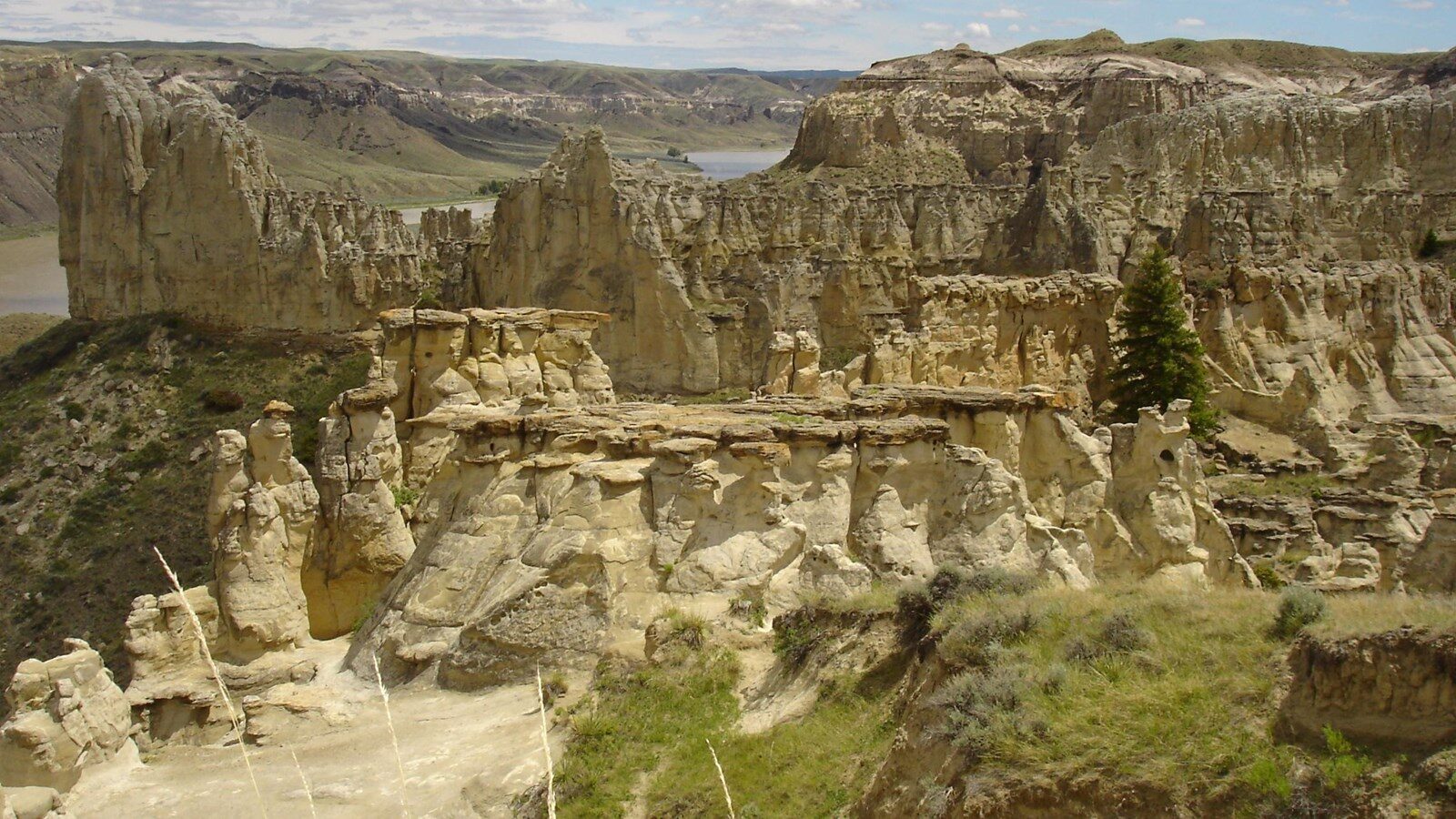
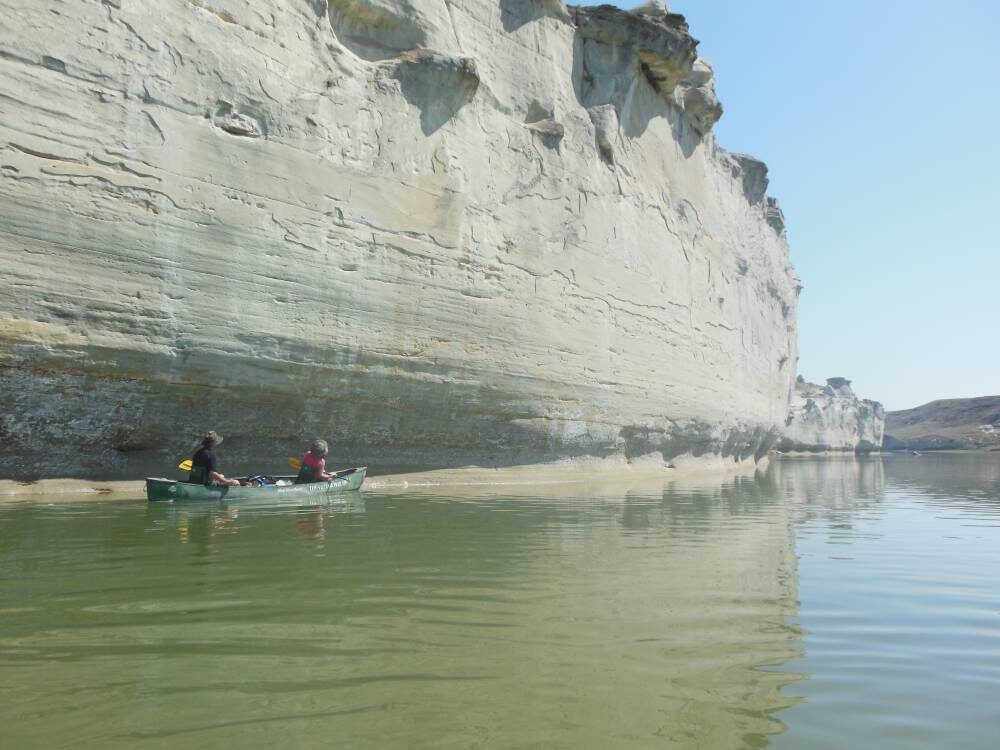
The Merriweather Lewis and William Clark led expedition came upon and camped alongside Slaughter River on May 29, 1805. Located on the Upper Missouri River in what is now Arrow Creek, Montana, the Slaughter River is a High Potential Historic Site on the Lewis and Clark Trail. Upon arriving to the campsite, the most noticeable part of the landscape was a pile of buffalo carcasses at the bottom of the cliffs located on the River.
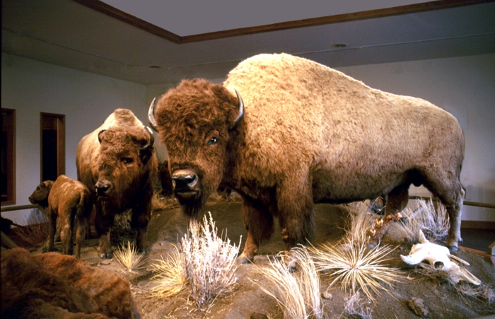
While at the camp Merriweather Lewis took note of the scene, “today we passed on the Stard. side the remains of a vast many mangled carcases of Buffalow… the water appeared to have washed away a part if this immense pile.” The Corps of Discovery named the river after an assumed “buffalo jump” used often by Native Americans as a means of hunting bison and buffalo in large quantities for the tribe, thus offering impressive amounts of meats. In actuality, the buffalo had drowned when spring ice broke, and as they washed up onto the bank of the river and piled up on each other.
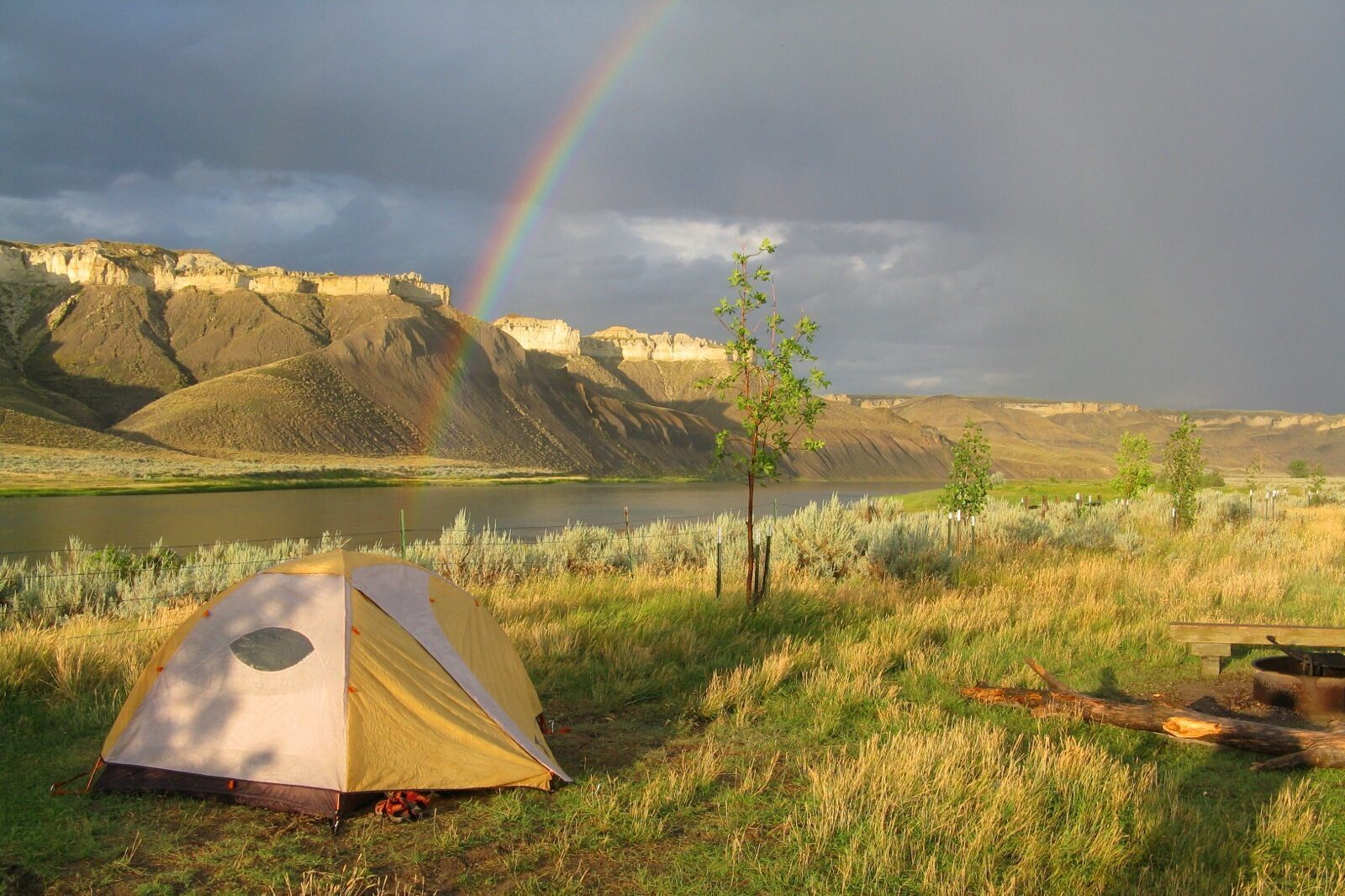
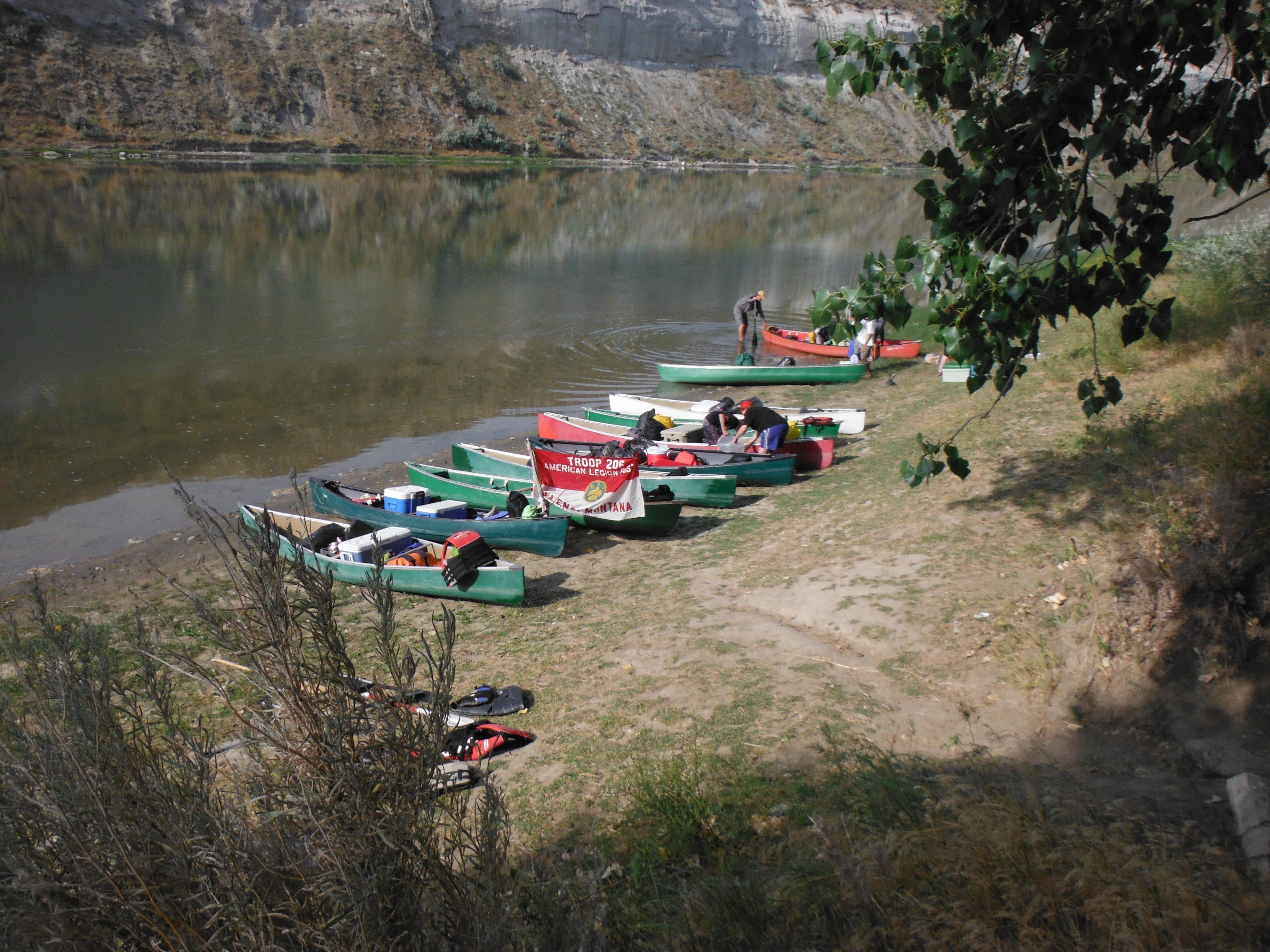
Today, it is highly unlikely to find any evidence of a buffalo jump or a pile of bison or buffalo equivalent to what the Corps of Discovery happened upon back in 1805. Instead, visitors will be met by an idyllic riverbank and cliff scene. At an elevation of 2,500 feet and a recreation area that encompasses 42 acres, the site is accessible by hunting or fishing boat. The recreation center permits tent camping and hosts fire rings, vault toilets, and one 3-sided log shelter. While the expedition’s experience may not have been ideal, there is no doubt that Slaughter River (Arrow Creek) boasts serene views for today’s visitors.

Distance Unit:
Distance Unit:


The Blackfoot River, sometimes called the Big Blackfoot River to distinguish it from the Little Blackfoot River, is a snow-fed and spring-fed river in western Montana.