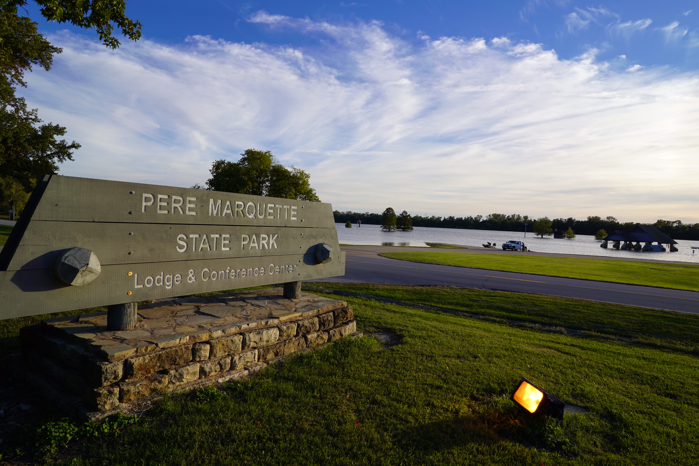
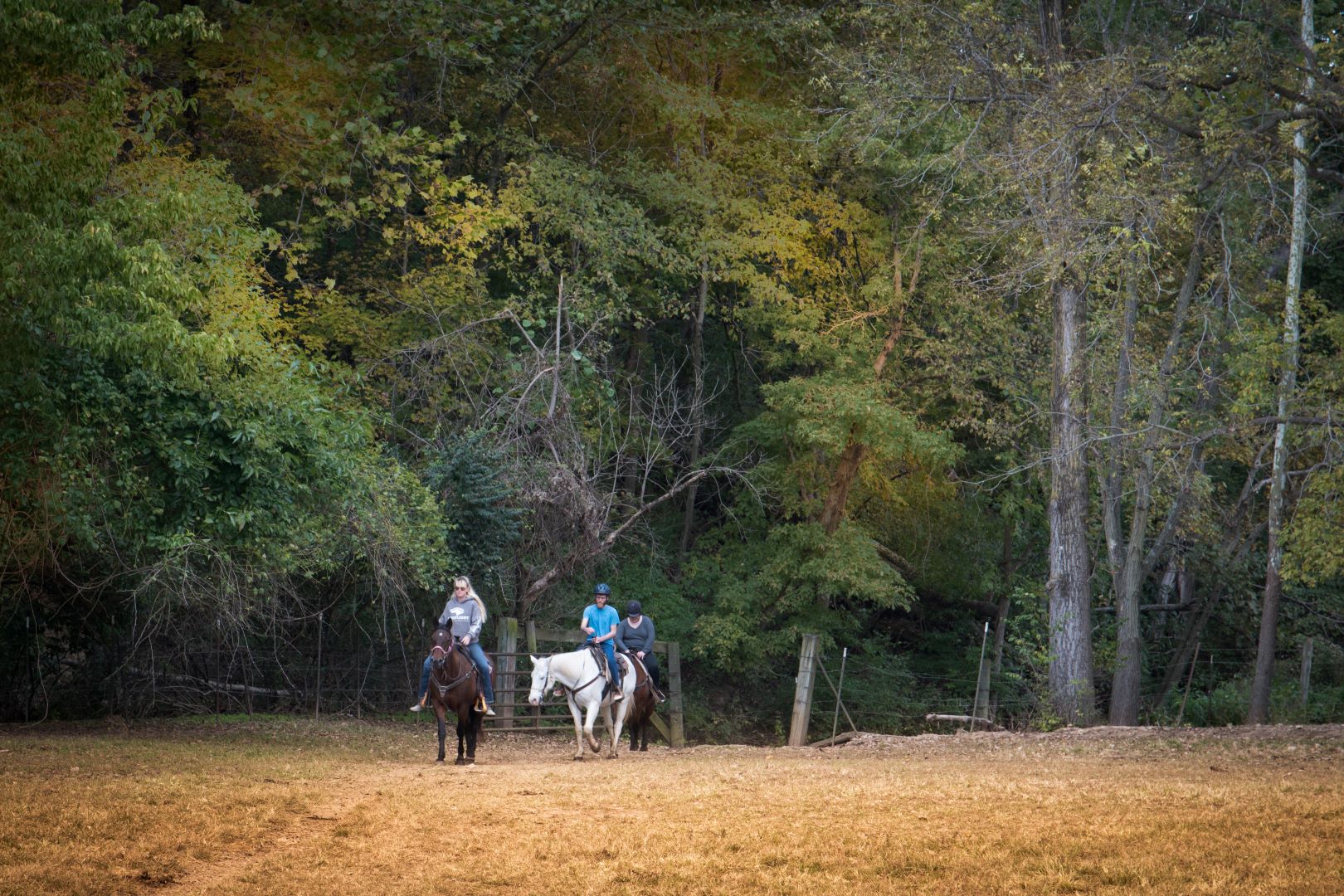
Pere Marquette Riding Stables
Are you a lover of the outdoors? Have you always wanted to experience a the thrill of a horseback ride?
Well, get ready to sit back and enjoy a 45-50 minute horseback ride through beautiful Pere Marquette State Park. At Pere Marquette, guided rides follow 2 1/2 miles of scenic trails that treat visitors to all of the wonderful sites, sounds, and serenity that nature has to offer – all while on horseback! Along the way, riders are likely to run into some local wildlife like deer, turkey and red tail hawk that are frequently seen throughout the area.
If you’re a horse lover and are looking for somewhere to ride freely, Pere Marquette State Park offers nearly 20 miles of equestrian trails with a parking area for trailers on Graham Hollow Road. The trails to the west of Graham Hollow are open year-round. but the trails east of Graham Hollow will be closed during certain seasons of the year.
Pere Marquette Riding Stables also offers pony rides and hay rides through the park. Contact us for additional details on hosting private parties and family celebrations.
Distance Unit:
Distance Unit:

The path taken by Chief John Ross on his way to Cairo. (https://www.hmdb.org/m.asp?m=161480)
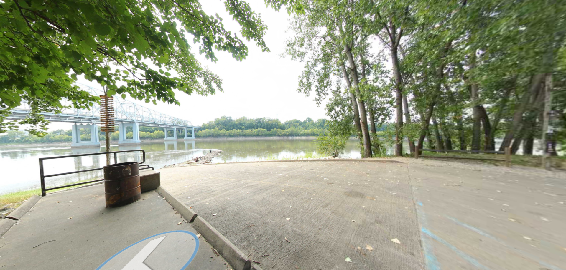


A boat ramp to the beautiful Missouri River with a peaceful view of the river.


Here, nine Cherokee Indian groups braved harsh winter conditions while crossing the Mississippi River in 1838-1839, marking a sorrowful chapter in American history. The park also has: shaded picnic sites, hiking and horse trails, opportunities to fish…

Explore the Trail of Tears State Park to delve into a somber chapter in American history. Here, nine Cherokee Indian groups crossed the harsh winter Mississippi River in 1838-1839 during their forced relocation to Oklahoma.…


A breathtaking viewpoint overlooking the Trail of Tears State Park. Car access is available