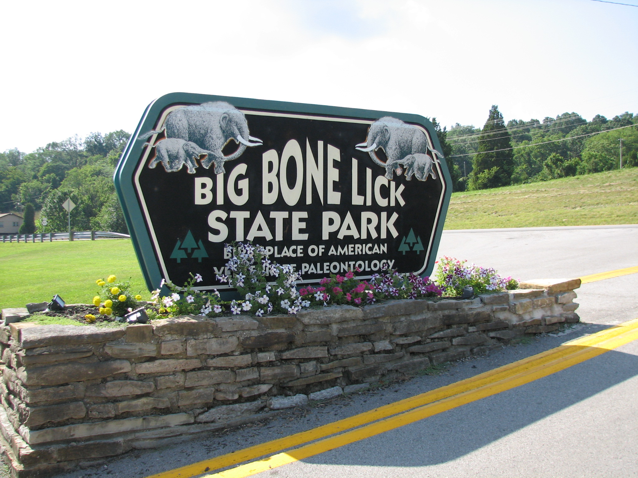
Big Bone Lick State Historic Site in Union, Kentucky is known as being the “Birthplace of American Vertebrate Paleontology”. Thomas Jefferson had a fascination with Big Bone Lick and the mysterious remains of giant animals…
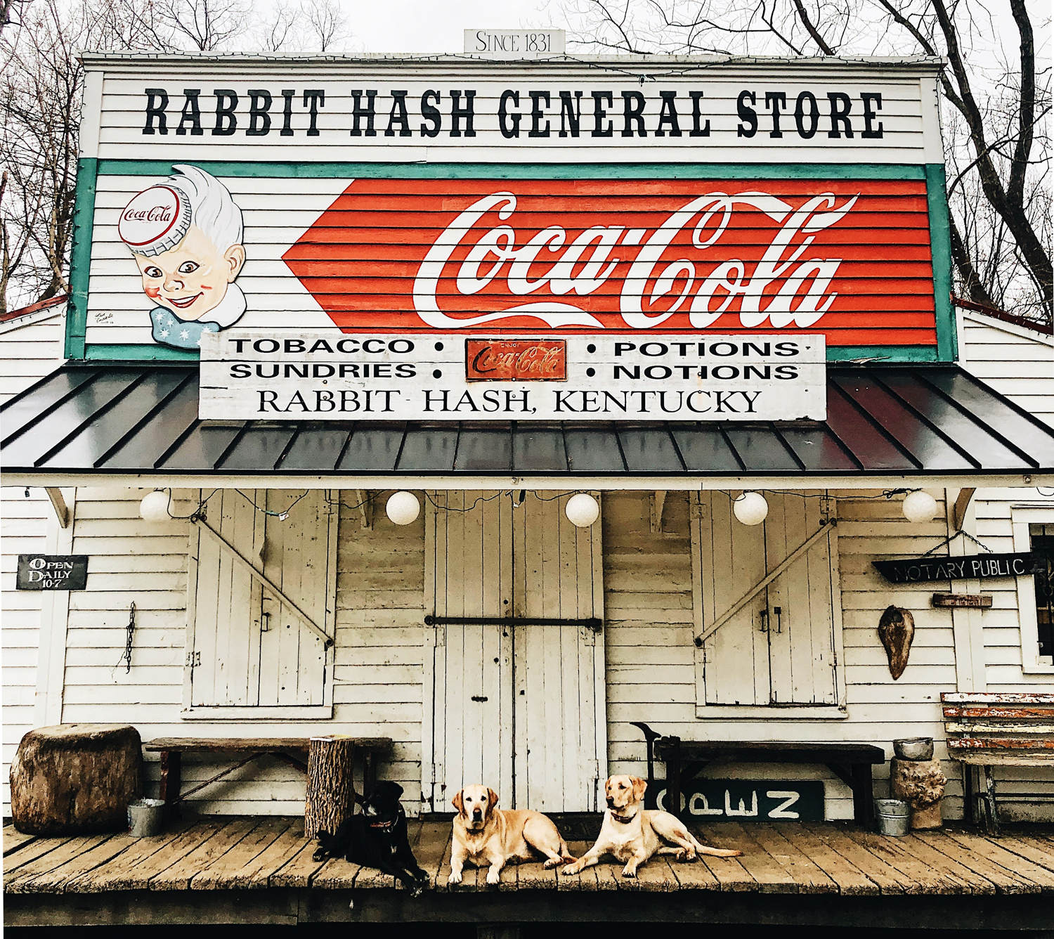
In a world that seems to be constantly changing, the Rabbit Hash General Store is a heaping slice of Americana from another era. A working general store since 1831, the Rabbit Hash General Store is…