Page Feedback

National Frontier Trails Museum

National Frontier Trails Museum

Information

Monday – Saturday 9 a.m. to 4:30 p.m. Sunday 12:30 - 4:30 p.m.
816-691-3800
$3 - $6. (Children 5 & younger are free)
lat: 39.086769 long: -94.419427

Located in Independence, Missouri, the National Frontier Trails museum is the perfect place to learn about the history of life on trails and trail pioneers themselves. The museum offers exhibitions detailing the exploration and settlement of the west, as well as notable artifacts such as authentic covered wagons, original diaries, and letters. Also housed within the museum is the Merrill J. Mattes Research Library, which boasts the nation’s largest public collection of writing about the trails. Admission rates are modest, and there is something for visitors of all ages to enjoy! 

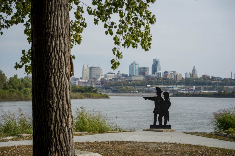
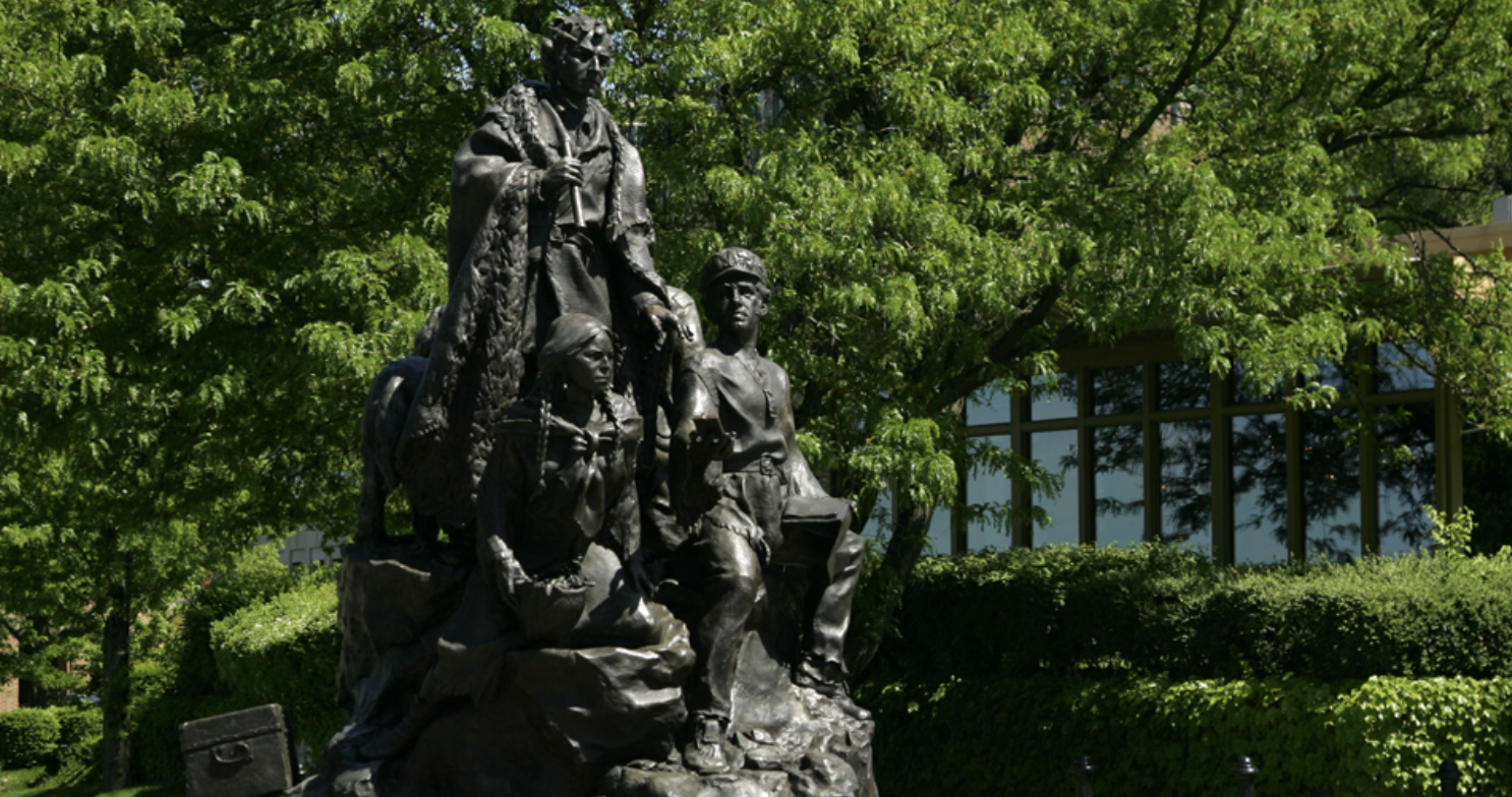
Located just across the street from this museum are part of the historic trails used by the emigrants as they made their way westward. Evidence of these trails can still be seen in the form of swales, which are used to mark the path being travelled on. Visitors can make their way to this location to walk on the trail for themselves, which are accompanied by interpretive signs that detail the story behind the long journey. Both the museum and this interactive trail section provide great opportunities for people to learn about the Lewis and Clark Expedition! 

For more information about the museum, visit http://www.ci.independence.mo.us/nftm!


Nearby Attractions

Distance Unit:

Nearby Trails

Distance Unit:

Trail of Tears Memorial

Explore the Trail of Tears State Park to delve into a somber chapter in American history. Here, nine Cherokee Indian groups crossed the harsh winter Mississippi River in 1838-1839 during their forced relocation to Oklahoma.…

lat: 37.4439902 long: -89.468381
Tower Rock

lat: 37.63554 long: -89.51586
Taylors Landing

A boat ramp to the beautiful Missouri River with a peaceful view of the river.

lat: 38.94831 long: -92.53559
Fort Bellefontaine

lat: 38.827083 long: -90.214293
Jefferson Mounument

lat: 38.57877 long: -92.17348
Miami to Big Muddy

lat: 39.32615 long: -93.22803
Fort Osage Historic Park

lat: 39.1864762 long: -94.1928602
Trail of Tears to Cairo

The path taken by Chief John Ross on his way to Cairo. (https://www.hmdb.org/m.asp?m=161480)

lat: 37.45684 long: -89.46319
Trail of Tears Overlook

A breathtaking viewpoint overlooking the Trail of Tears State Park. Car access is available

lat: 37.4490937 long: -89.4764524
Front Loop

lat: 38.82679 long: -90.21614
Bean Lake Natural Area

lat: 39.49763 long: -95.02227
Red Star Access Site

lat: 37.3156208 long: -89.5126263
Send Feedback

Instagram Feed