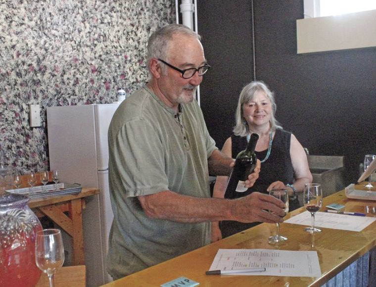
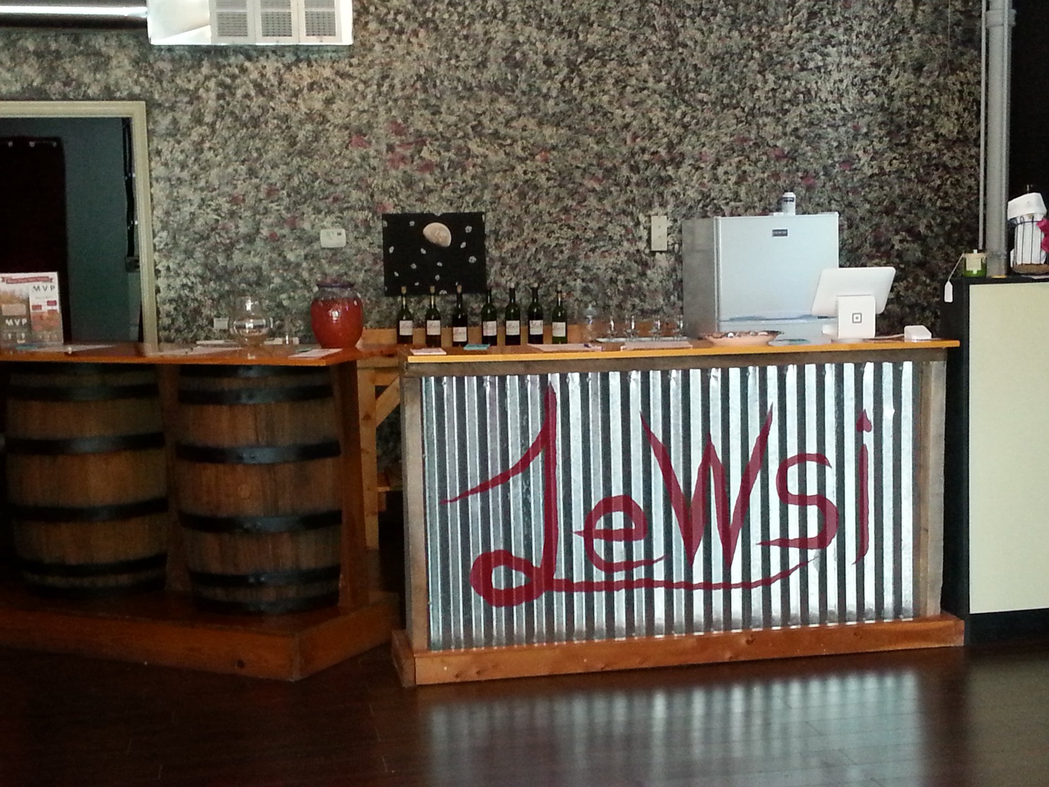
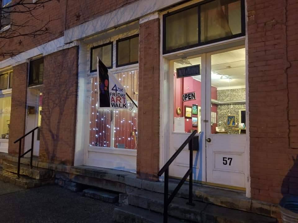
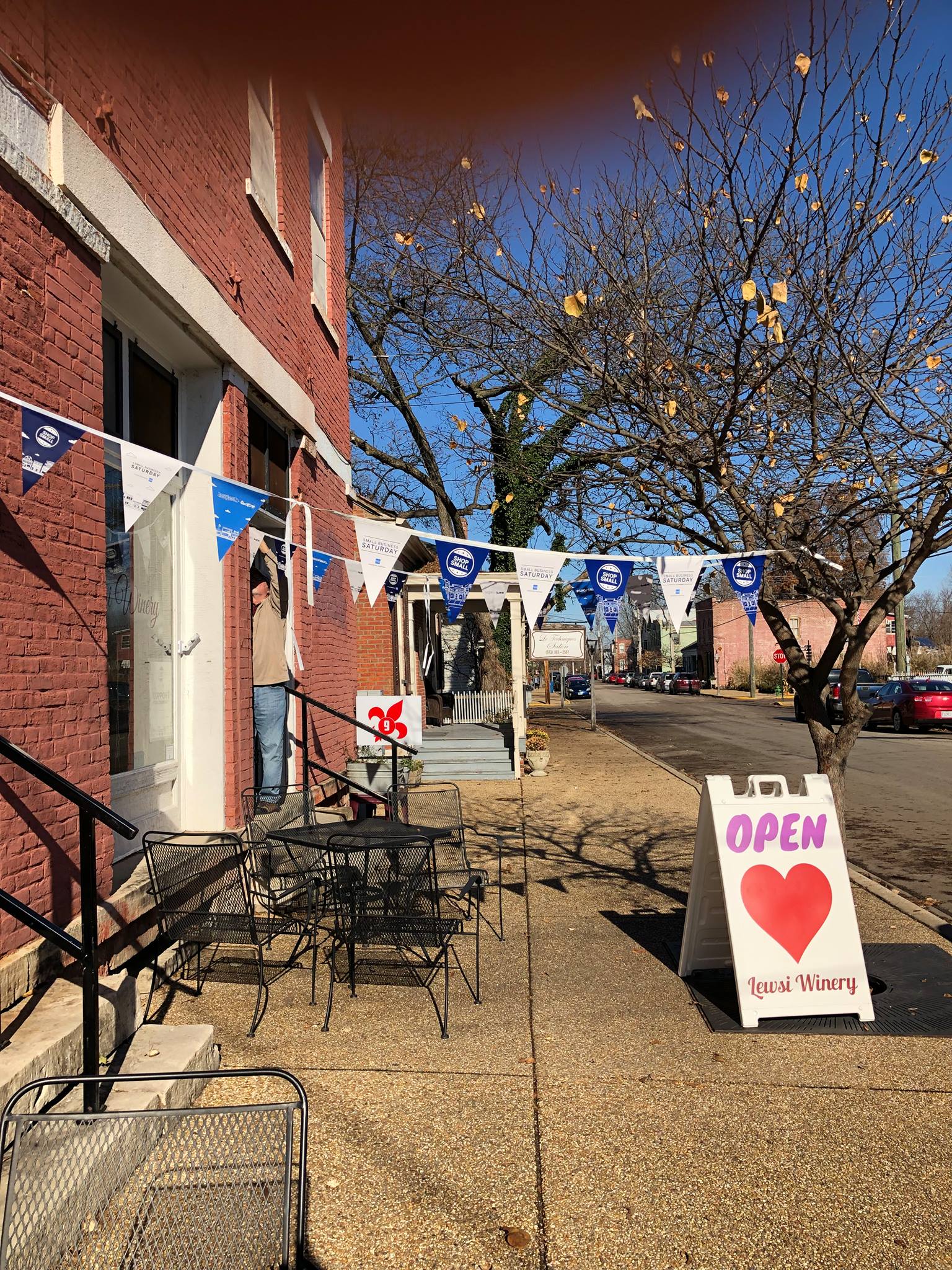
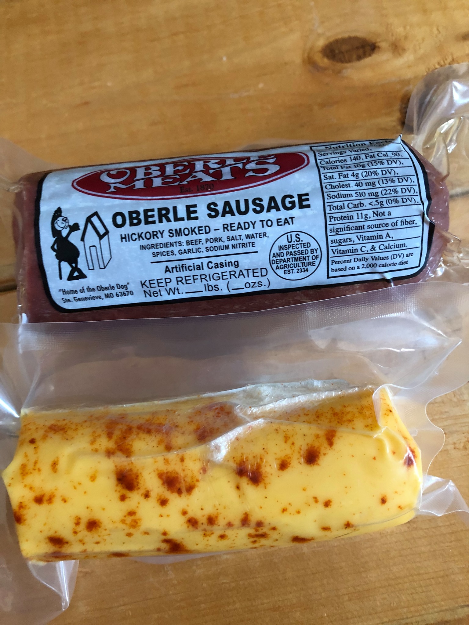
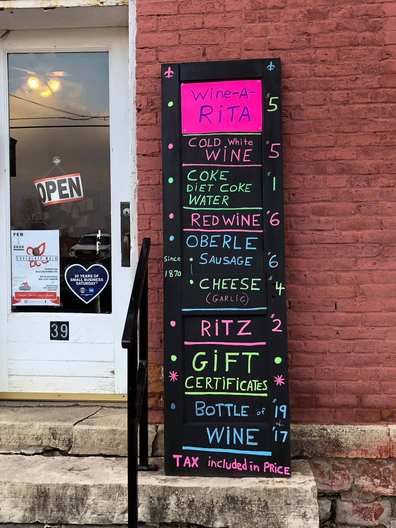
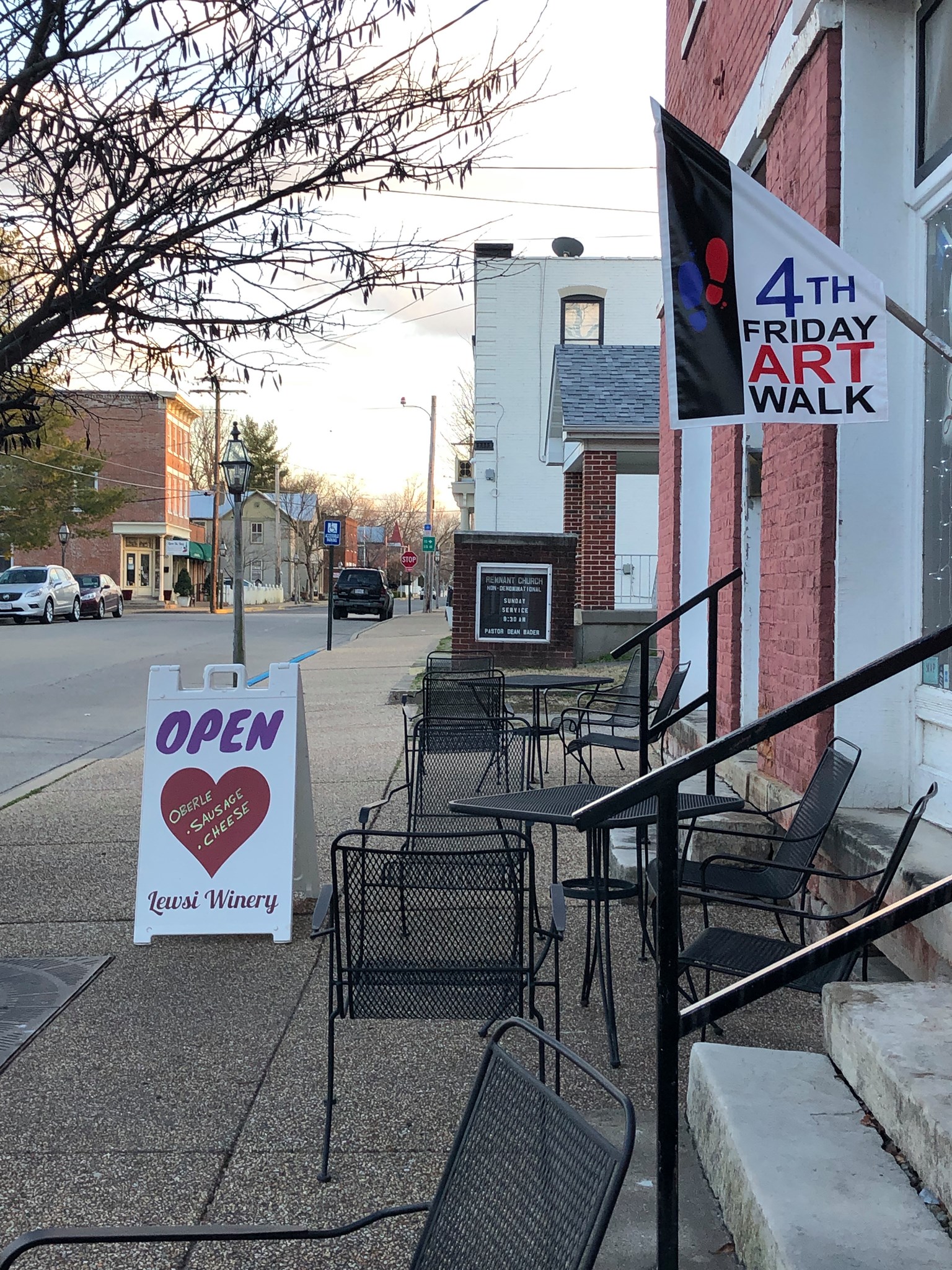
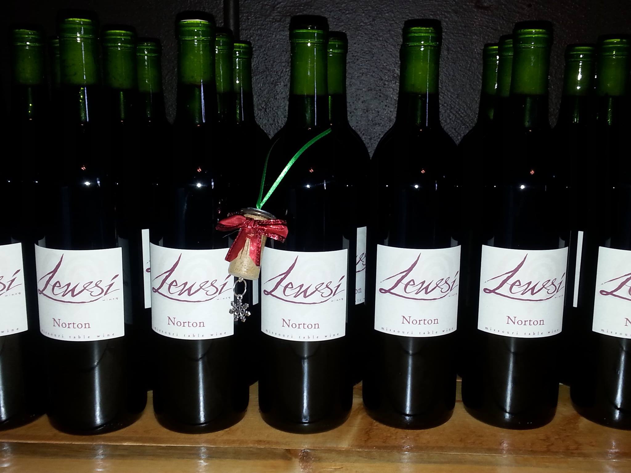
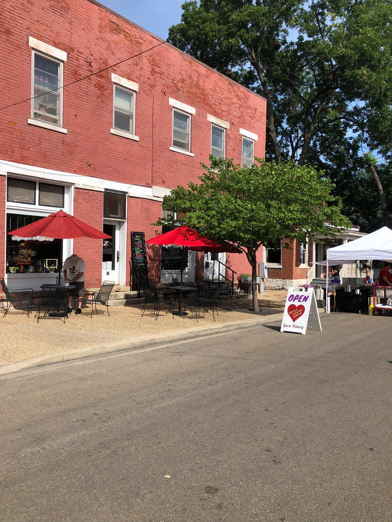
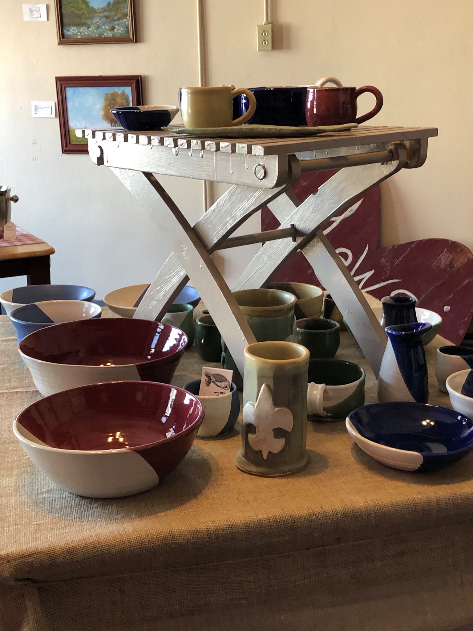
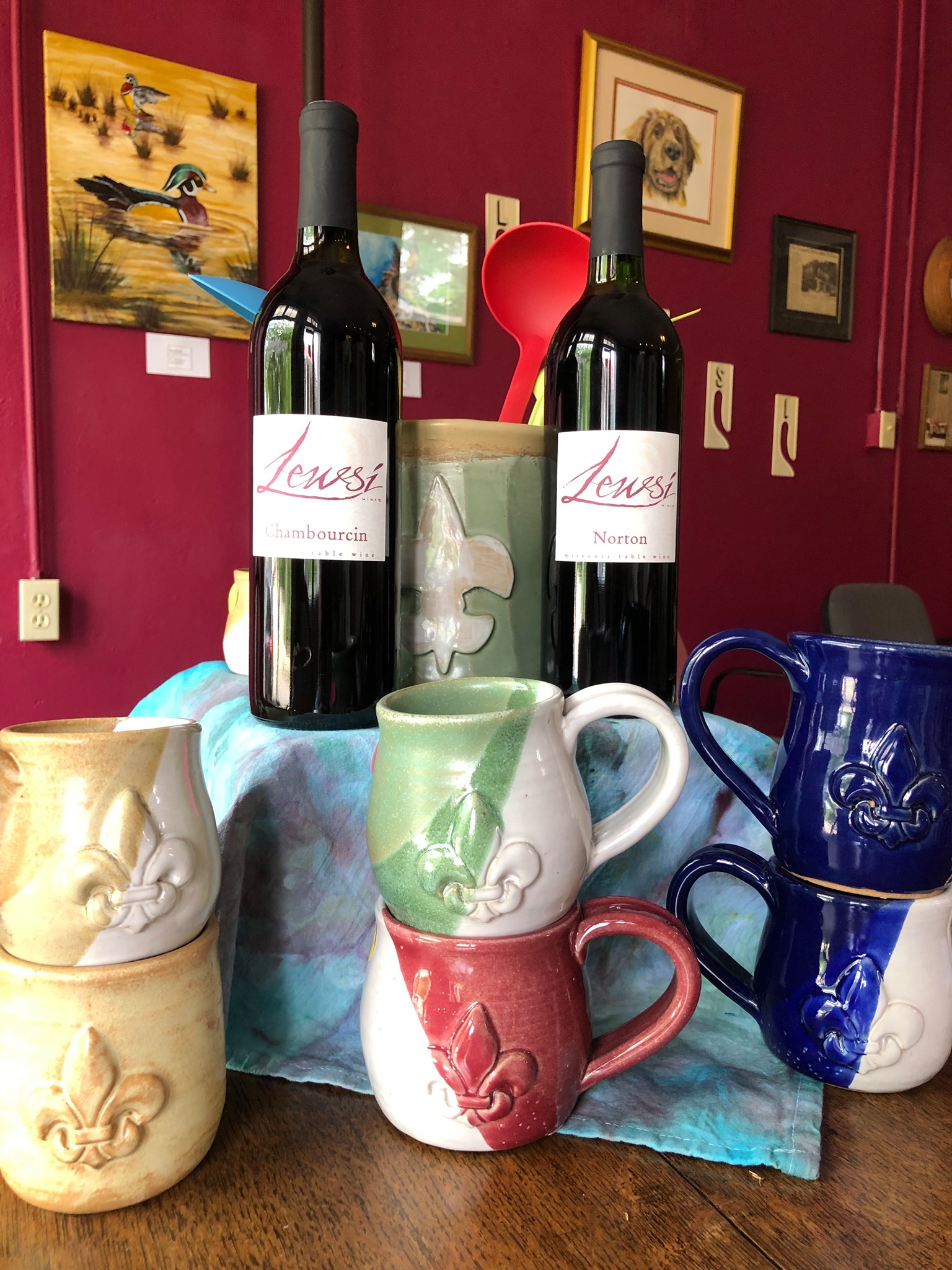
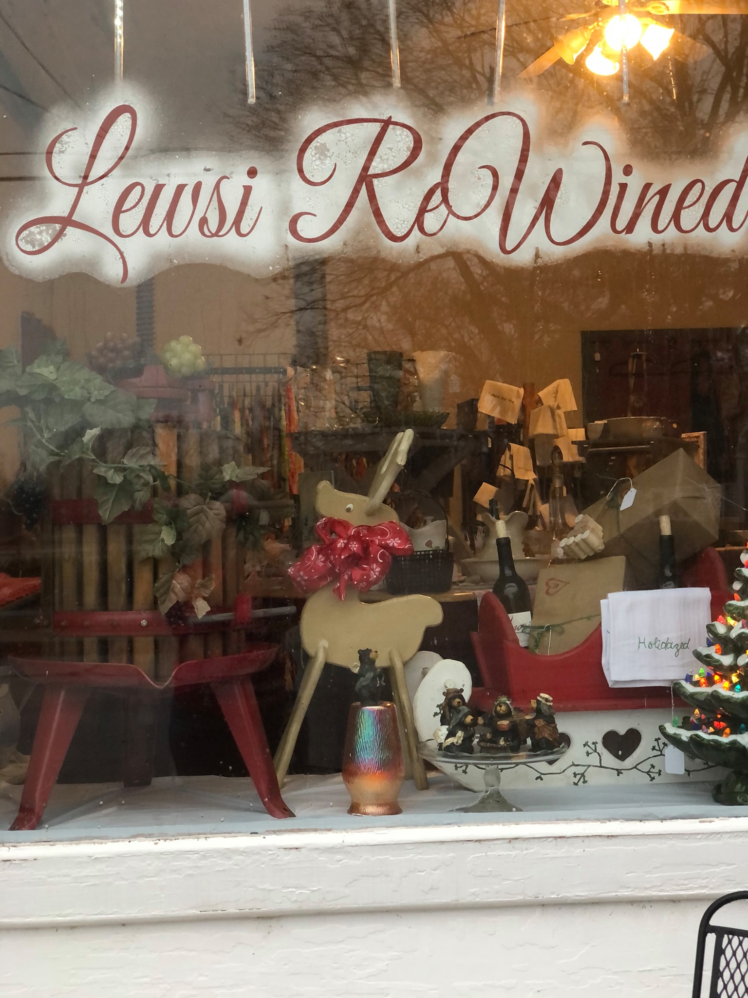
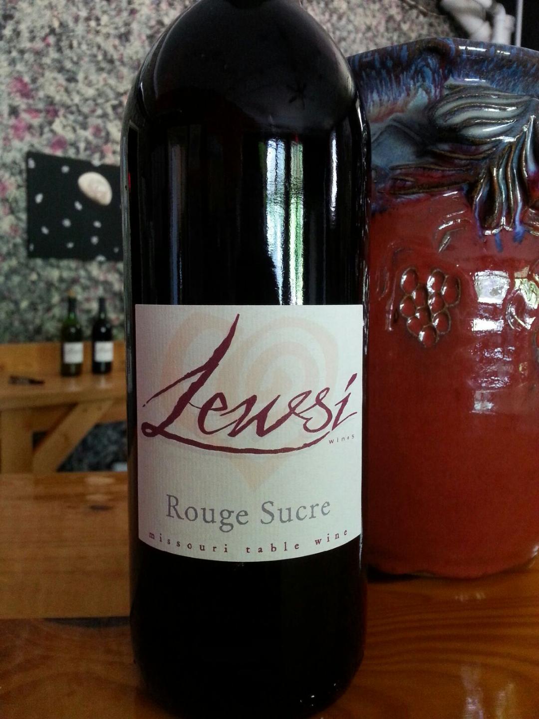
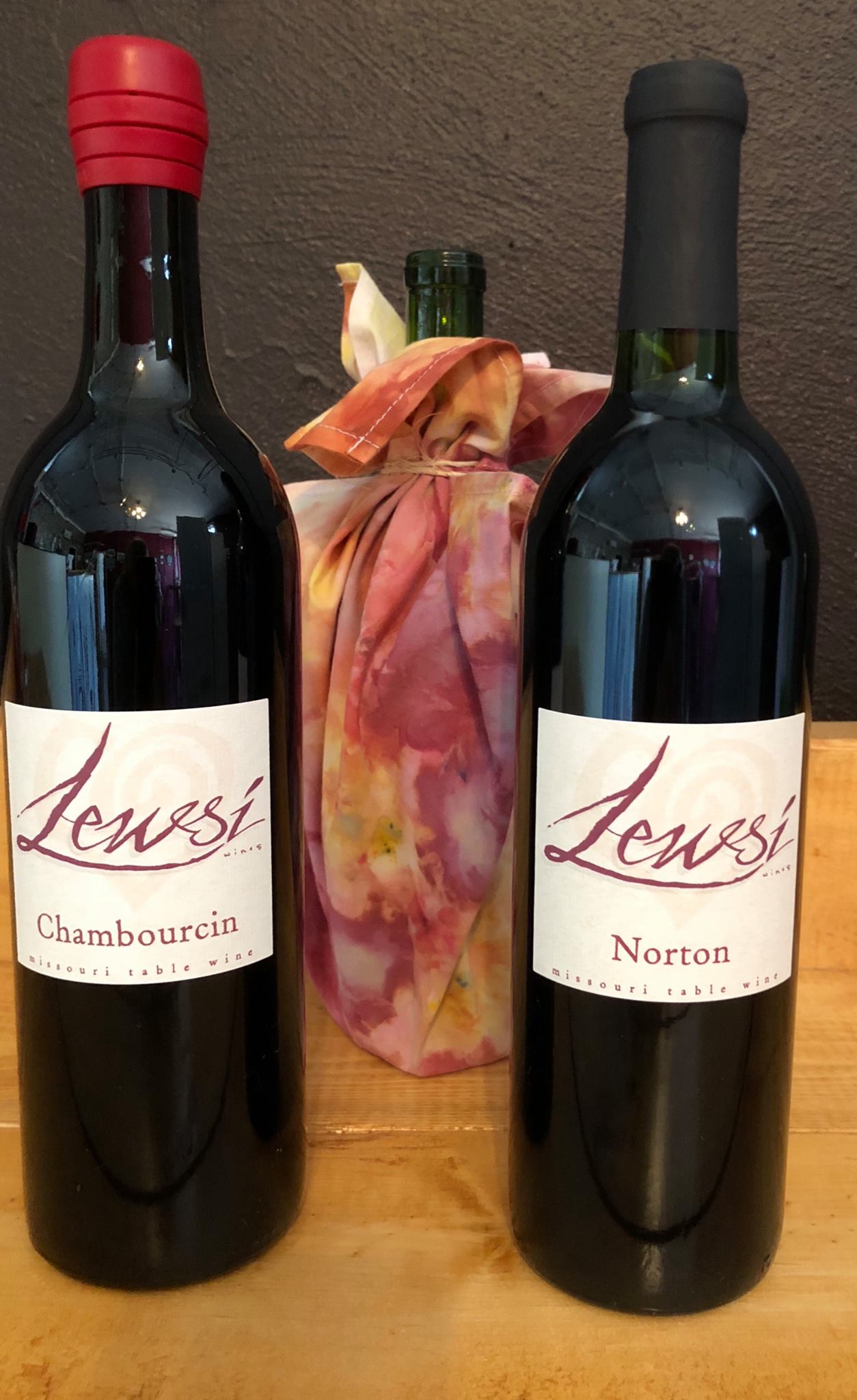
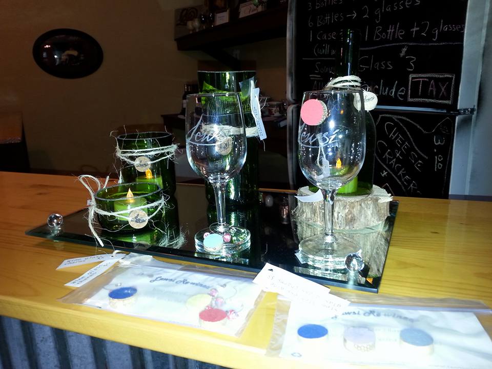
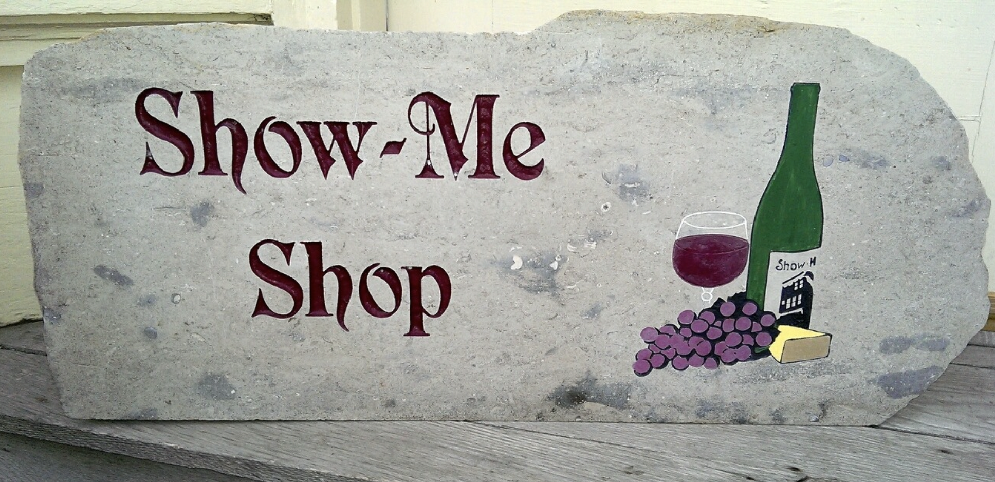
Lewsi Winery

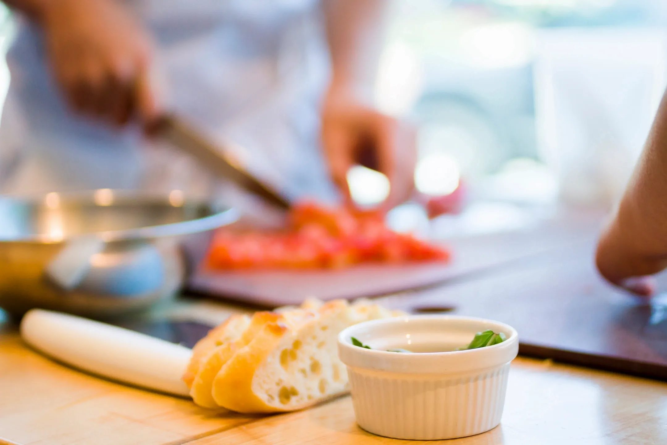
Food and Drink
Guides and Tours
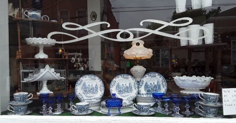
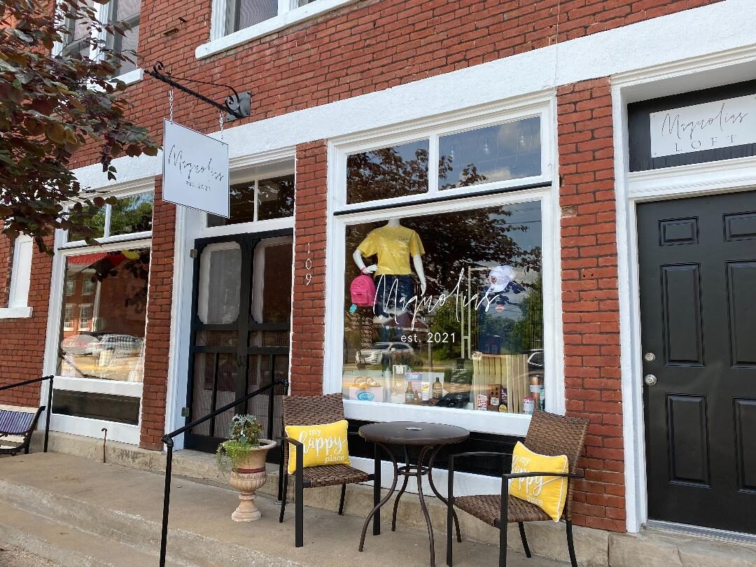
Shopping and Leisure
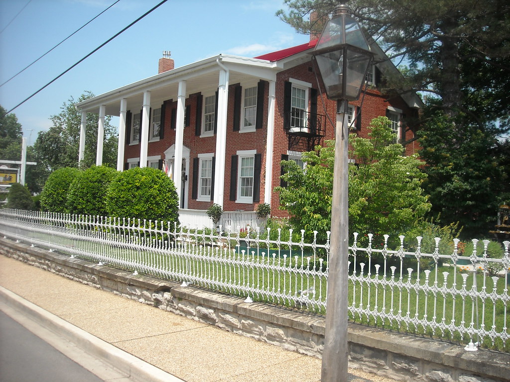
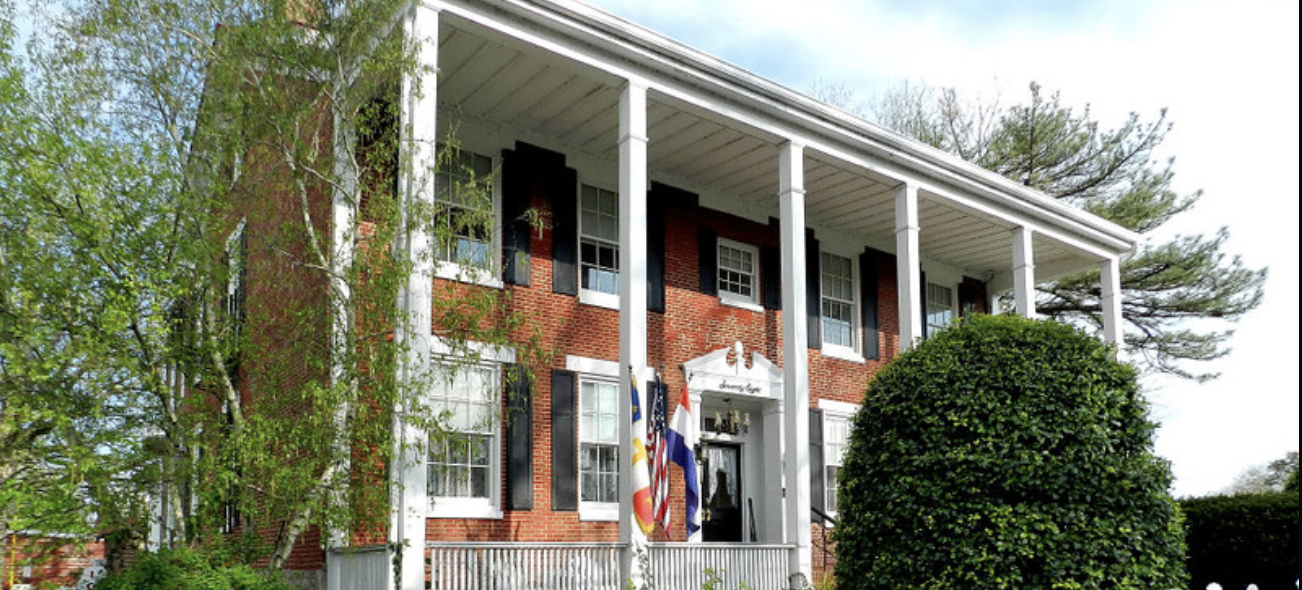
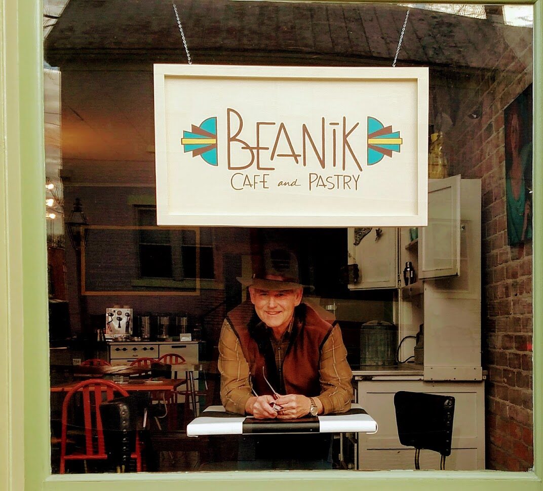
39, North Main Street
Ste. Genevieve
Missouri
63670