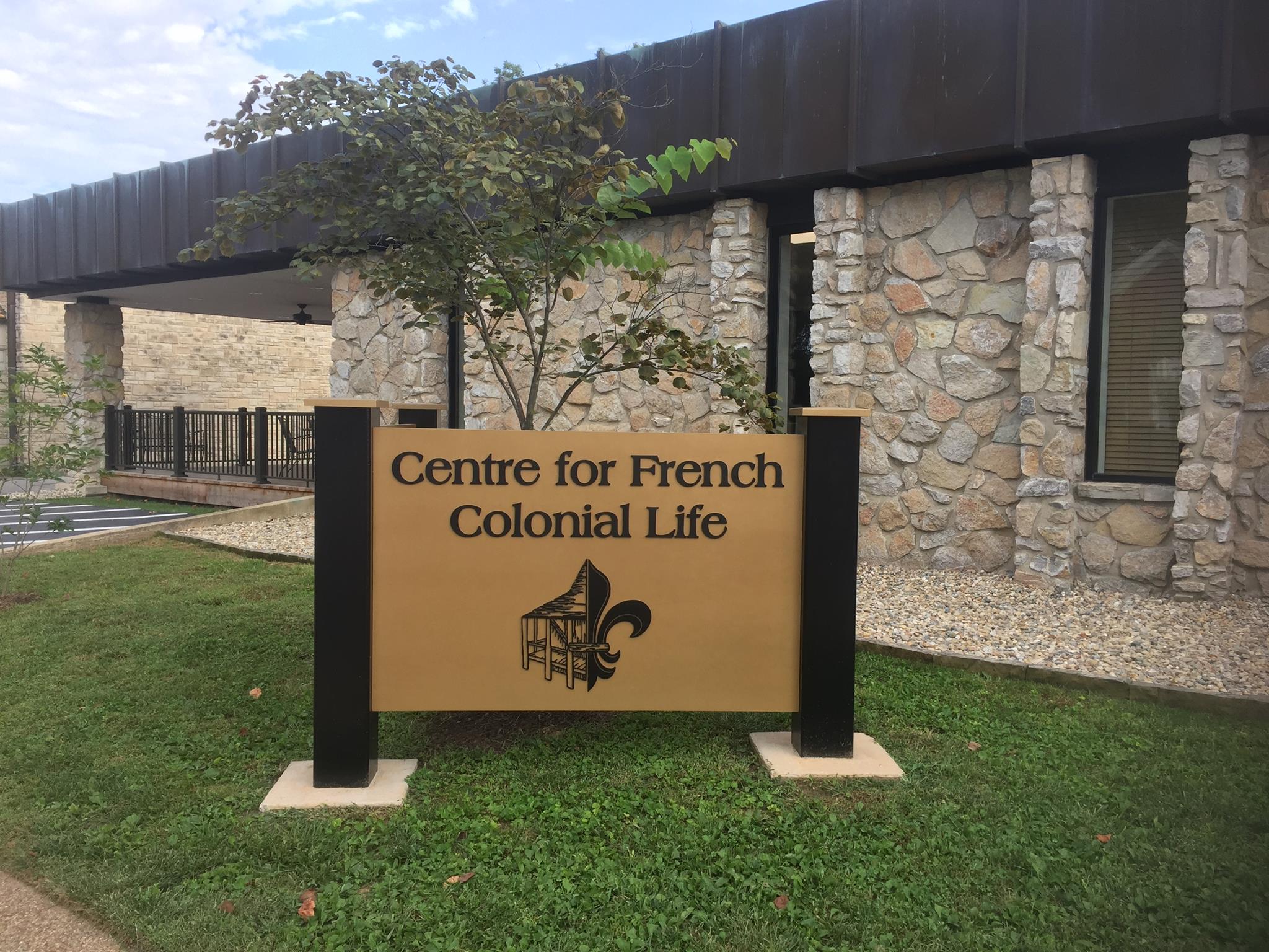
Nicholas Janis House/Green Tree Tavern
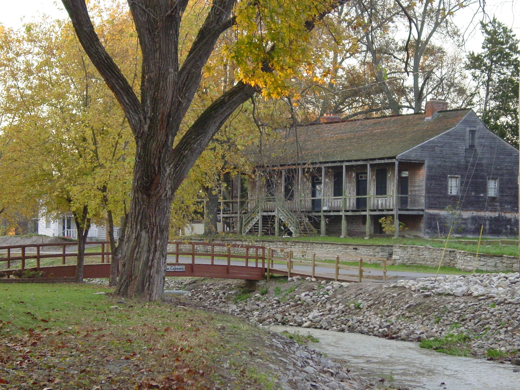
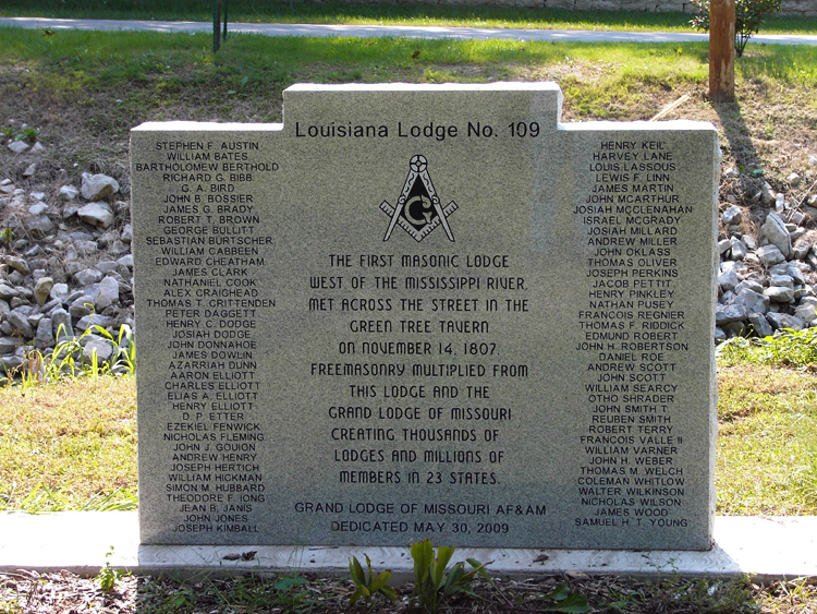
The Green Tree Tavern is an example of French Colonial architecture known as a poteaux sur sole. It is the oldest house verified through dendrochronology, tree ring dating, west of the Mississippi. In 1790, Nicholas Janis had this residence built of hand-hewn, white oak logs with bousillage chinking. Unlike typical French houses, the Green Tree was built with pegged rafters, not trusses. Some of the carved red cedar porch posts supporting the gallery surrounding three sides of the house indicate that at one time the first Masonic Lodge West of the Mississippi, Western Star Lodge #107, was located here. The Green Tree also served as a tobacco store and as a tavern and inn. As travelers poured into the new territory, the Green Tree Tavern offered lodging, entertainment, socializing and news. Guests could enjoy food and drink in the public room and sleep in rooms each heated by an unusual triangular fireplace. A second triangular fireplace was removed during remodeling in 1800. The Green Tree Tavern is now part of the National Park Service.
Distance Unit:
Distance Unit:


A breathtaking viewpoint overlooking the Trail of Tears State Park. Car access is available


The path taken by Chief John Ross on his way to Cairo. (https://www.hmdb.org/m.asp?m=161480)