West End Tavern & Grocery
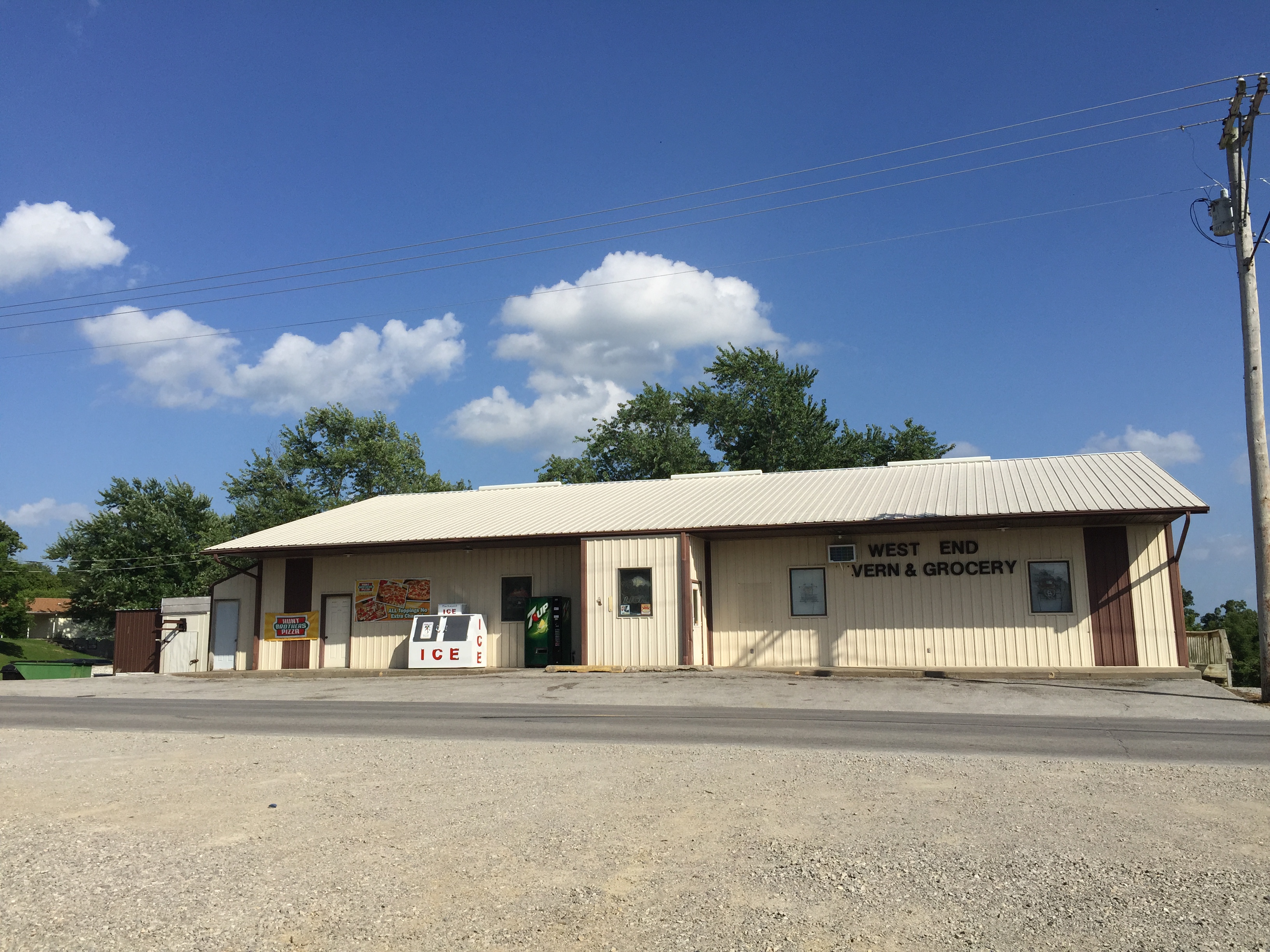
Do you find yourself in Frohna, Missouri along the Lewis and Clark Trail and want a place to eat as well as experience a nice small town feeling with German influence? Then swing by for breakfast, lunch or dinner, and if you’re in need for groceries, we’ve got that, too! Experience small town living at its best when you stop here to grab a delicious bite. From fish to burgers to fried mushrooms and even a year round Christmas tree hanging upside down from the ceiling, the whole family will enjoy this rural diner (especially if you enjoy fried foods). West End Tavern & Grocery is located less than a 20 minute drive from Perryville in nearby Frohna.
Distance Unit:
Distance Unit:

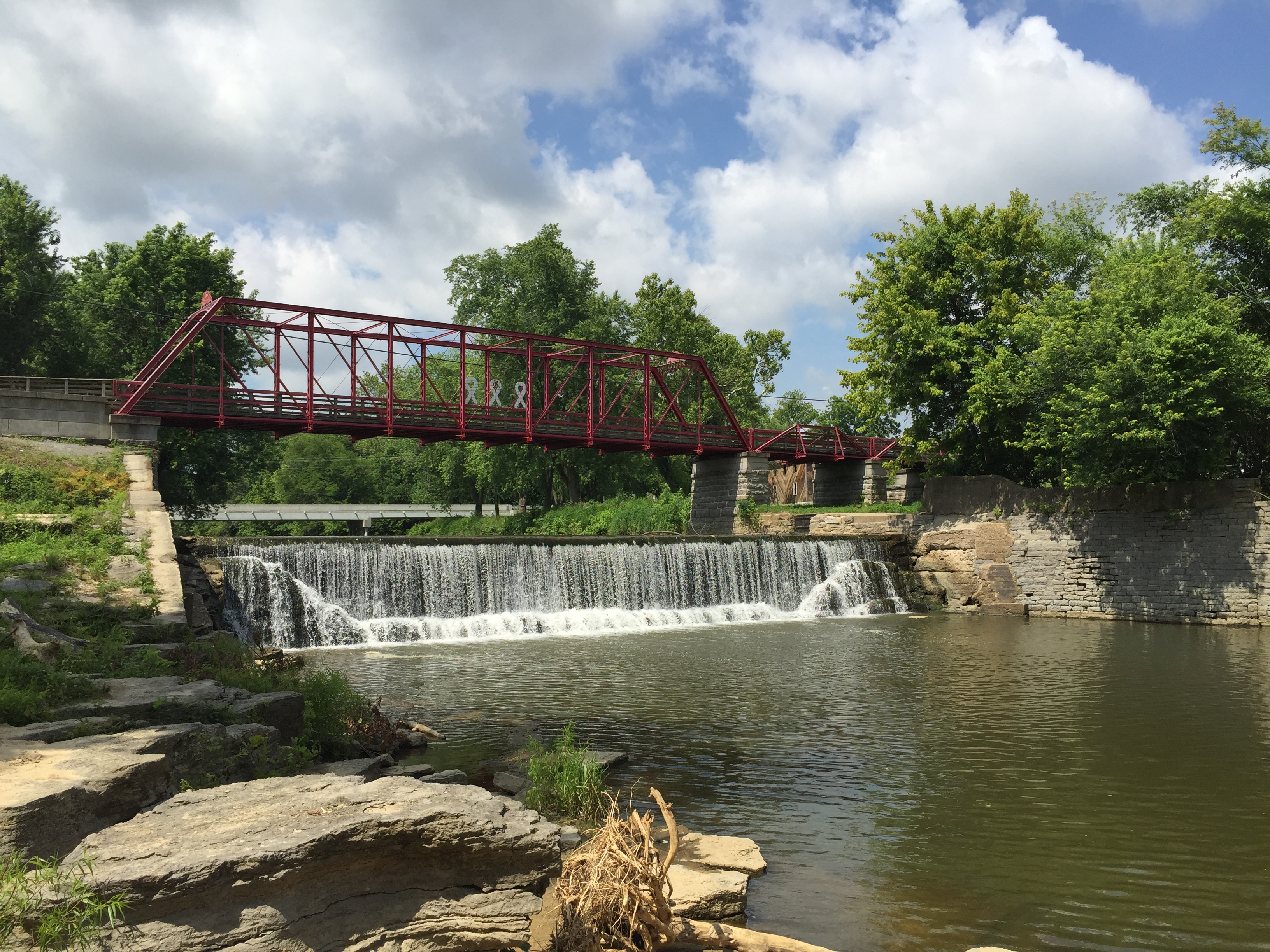
Here, nine Cherokee Indian groups braved harsh winter conditions while crossing the Mississippi River in 1838-1839, marking a sorrowful chapter in American history. The park also has: shaded picnic sites, hiking and horse trails, opportunities to fish…


A breathtaking viewpoint overlooking the Trail of Tears State Park. Car access is available


Explore the Trail of Tears State Park to delve into a somber chapter in American history. Here, nine Cherokee Indian groups crossed the harsh winter Mississippi River in 1838-1839 during their forced relocation to Oklahoma.…


The path taken by Chief John Ross on his way to Cairo. (https://www.hmdb.org/m.asp?m=161480)