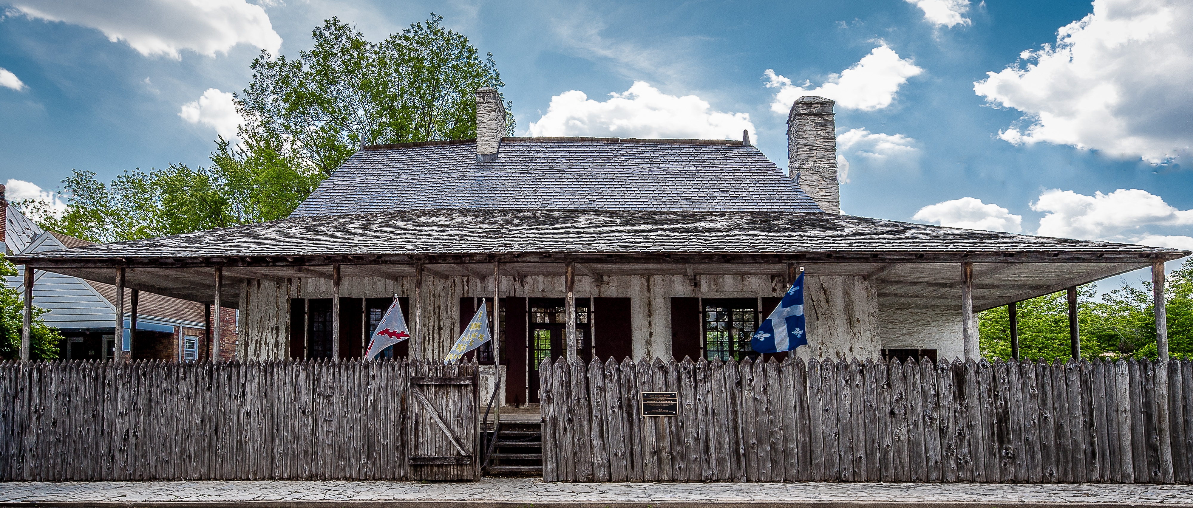
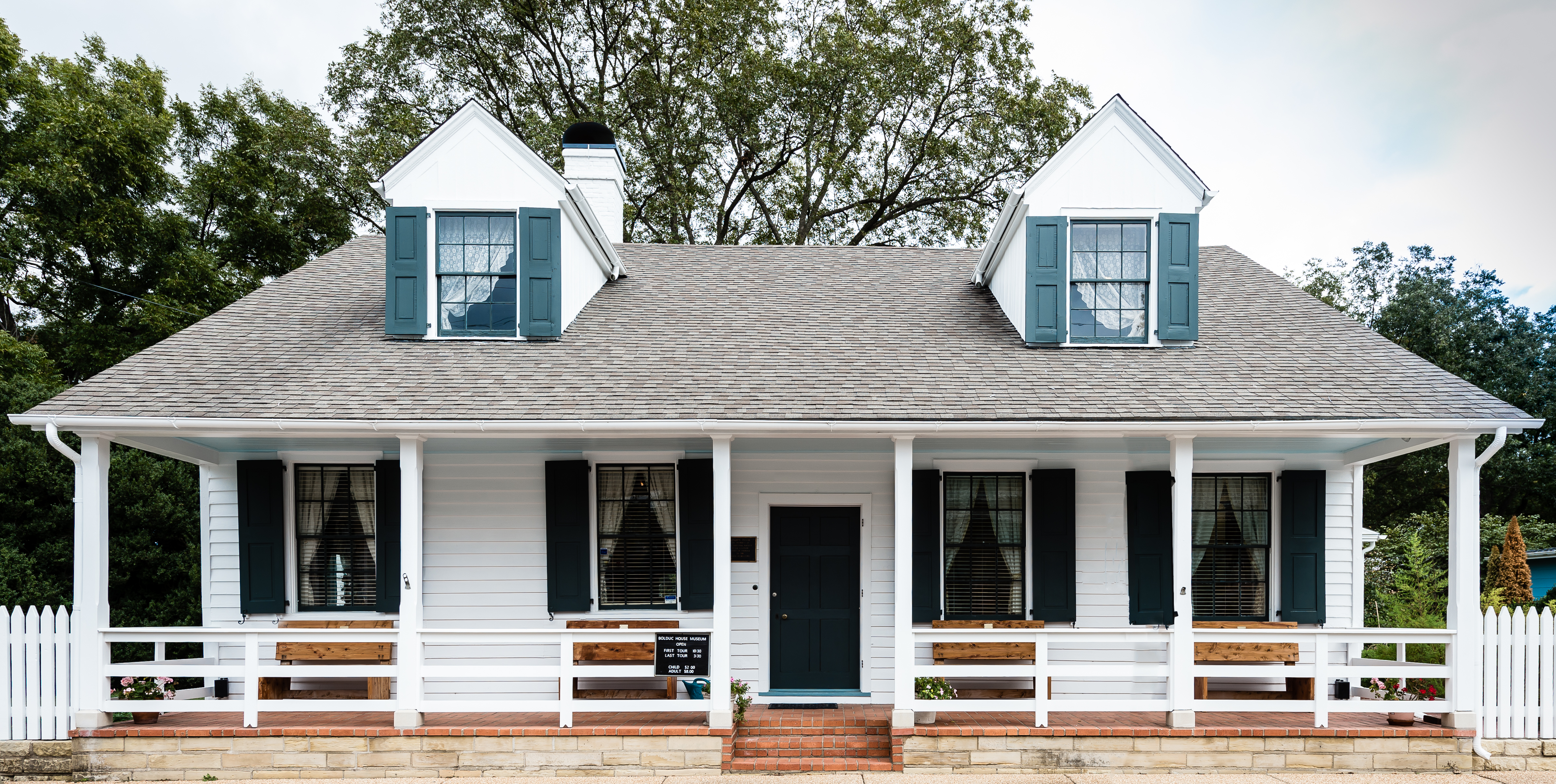
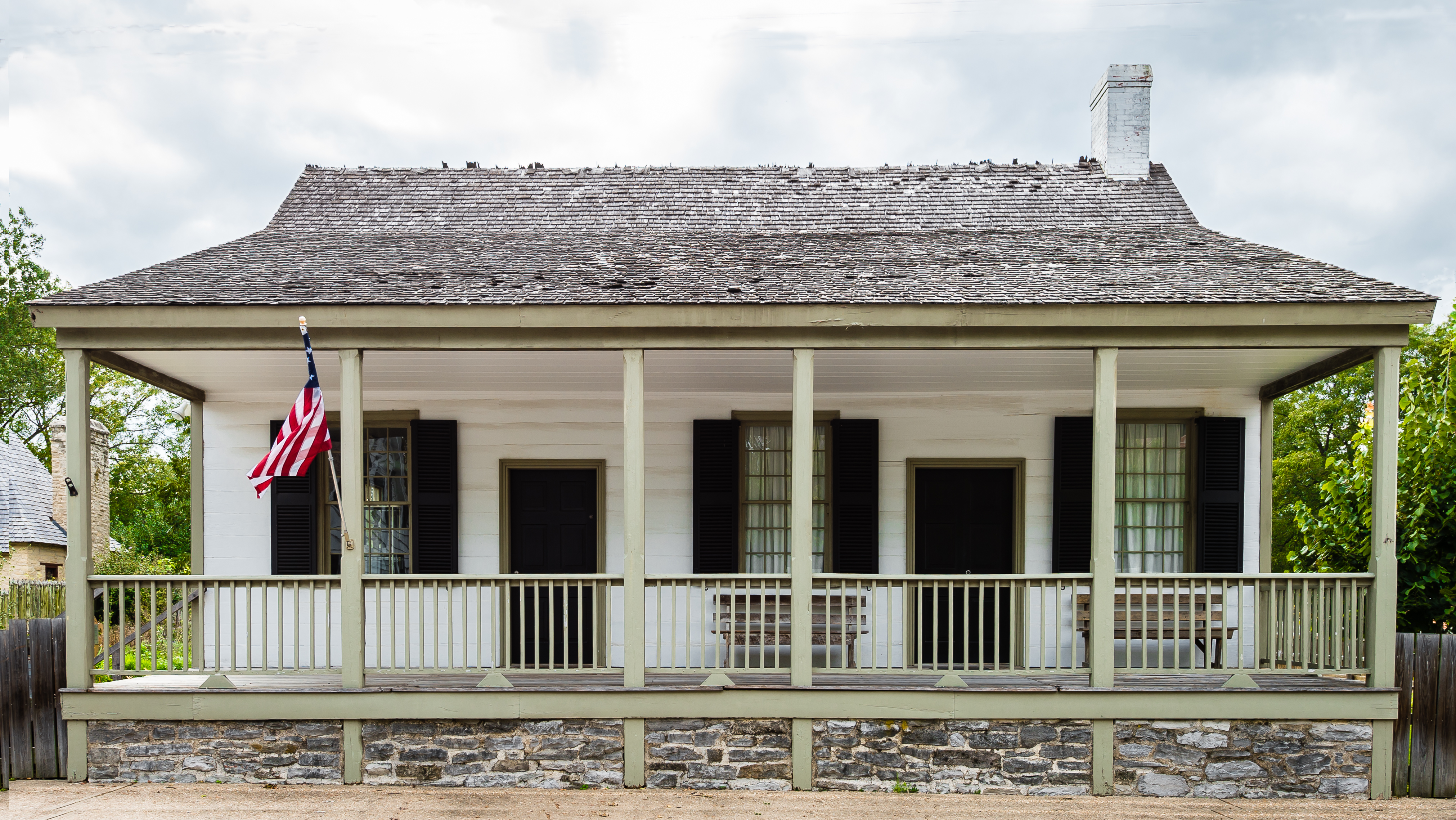
Centre for French Colonial Life
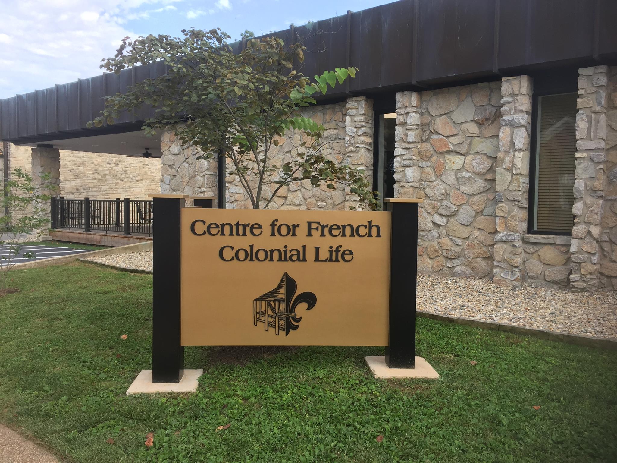
Since January 2017, French Colonial America (FCA) has been proudly operating the historic Centre for French Colonial Life Museum Campus in Ste. Genevieve, MO. Initially owned by the National Society of the Colonial Dames of America in the State of Missouri (NSCDA-MO), the properties were gifted to FCA by NSCDA-MO in early 2020. The campus features four historic French Colonial structures (The Louis Bolduc, Bolduc-LeMeilleur, Beauvais-Linden, and Francois Valle II Houses) as well as the education and exhibits facility, the Centre for French Colonial Life. The Centre features the campus gift shop, offices, a curatorial lab, lecture hall, warming kitchen, conference room, and two exhibits: 1) an orientation exhibit, detailing the origins of Ste. Genevieve and history of the IL River valley under French & Spanish colonial periods and 2) a temporary exhibit examining the ways that wild foods were harvested by the various people of the region to feed their families and communities in the colonial period. A new temporary exhibit, The American Revolutionary War in the West, will be installed in May 2020 and will explore the Battle of Fort San Carlos (St. Louis) and the role the Ste. Genevieve Militia played in the victory.

Distance Unit:
Distance Unit:


The path taken by Chief John Ross on his way to Cairo. (https://www.hmdb.org/m.asp?m=161480)


A boat ramp that allows visitors to access the Trail of Tears