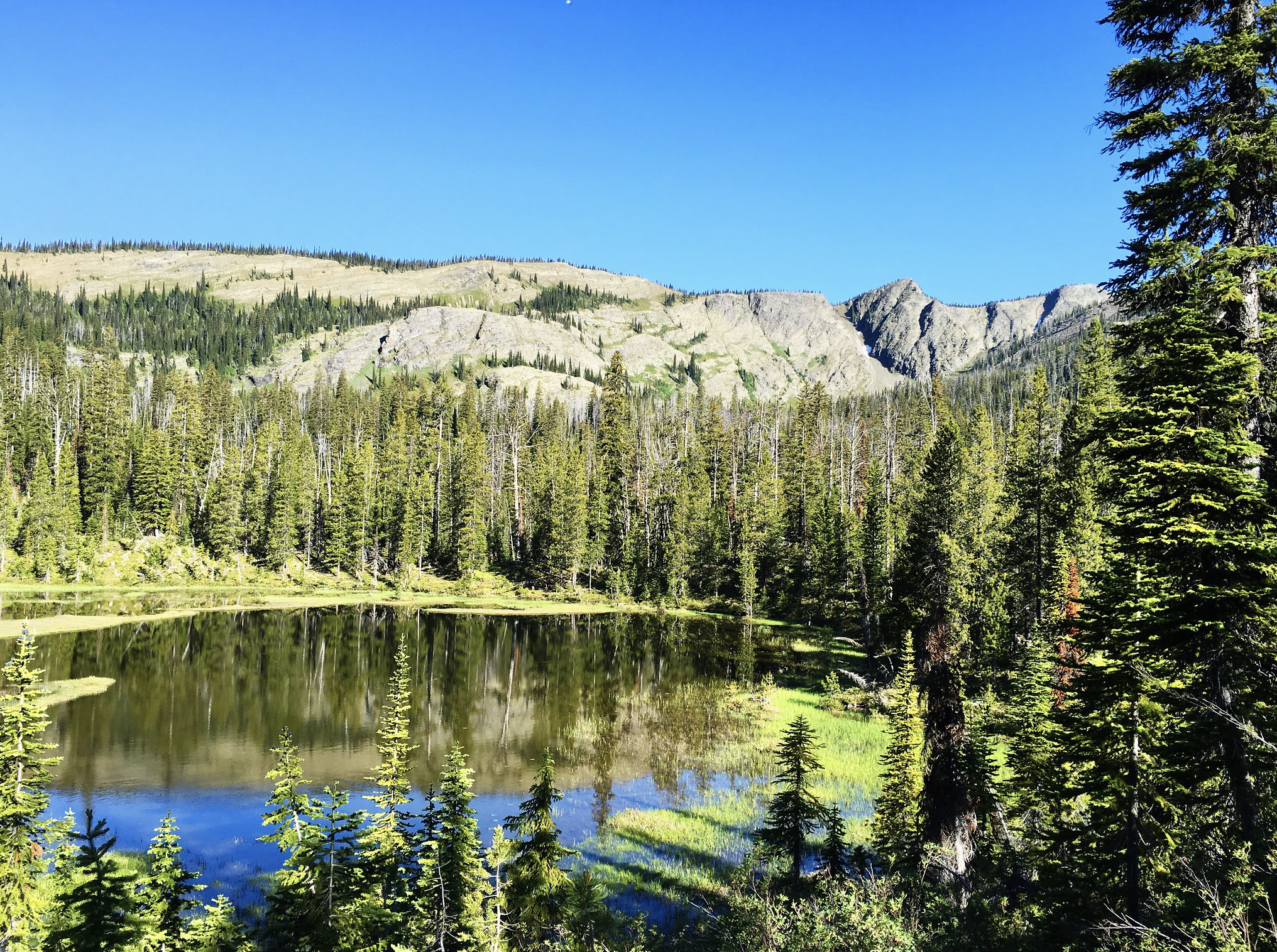
Blackfoot River Nearby attraction
Enter the physical address of the business or point of interest or click on the map below to place a pin at your location. Use the + and – buttons at the top right of the map to zoom in or out.
Distance Unit:
Distance Unit:


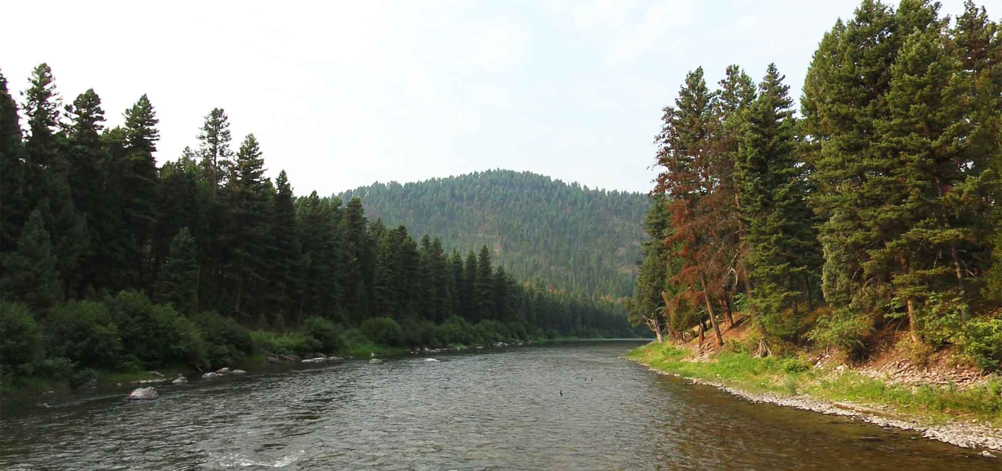
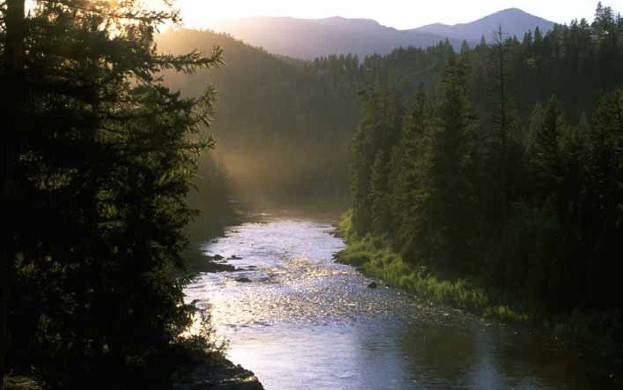
The Blackfoot River, sometimes called the Big Blackfoot River to distinguish it from the Little Blackfoot River, is a snow-fed and spring-fed river in western Montana.