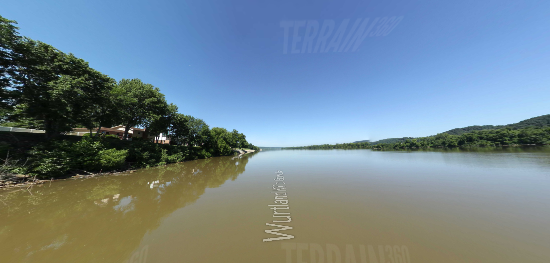
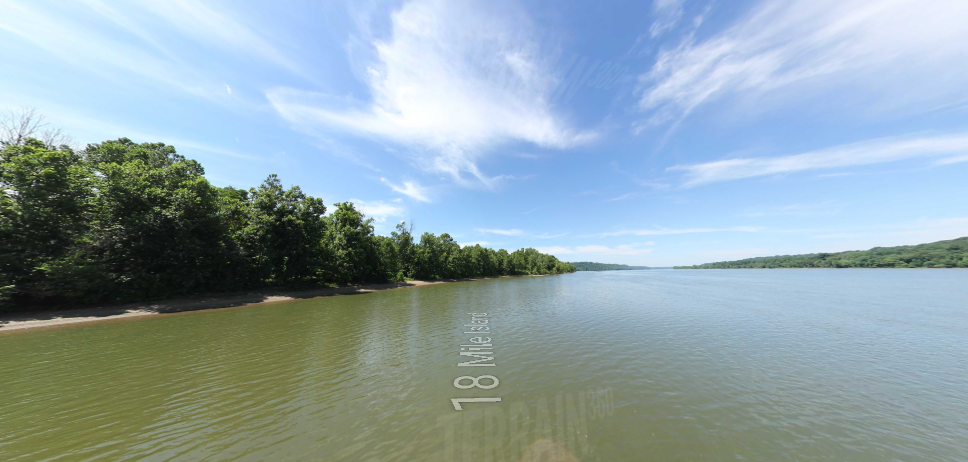
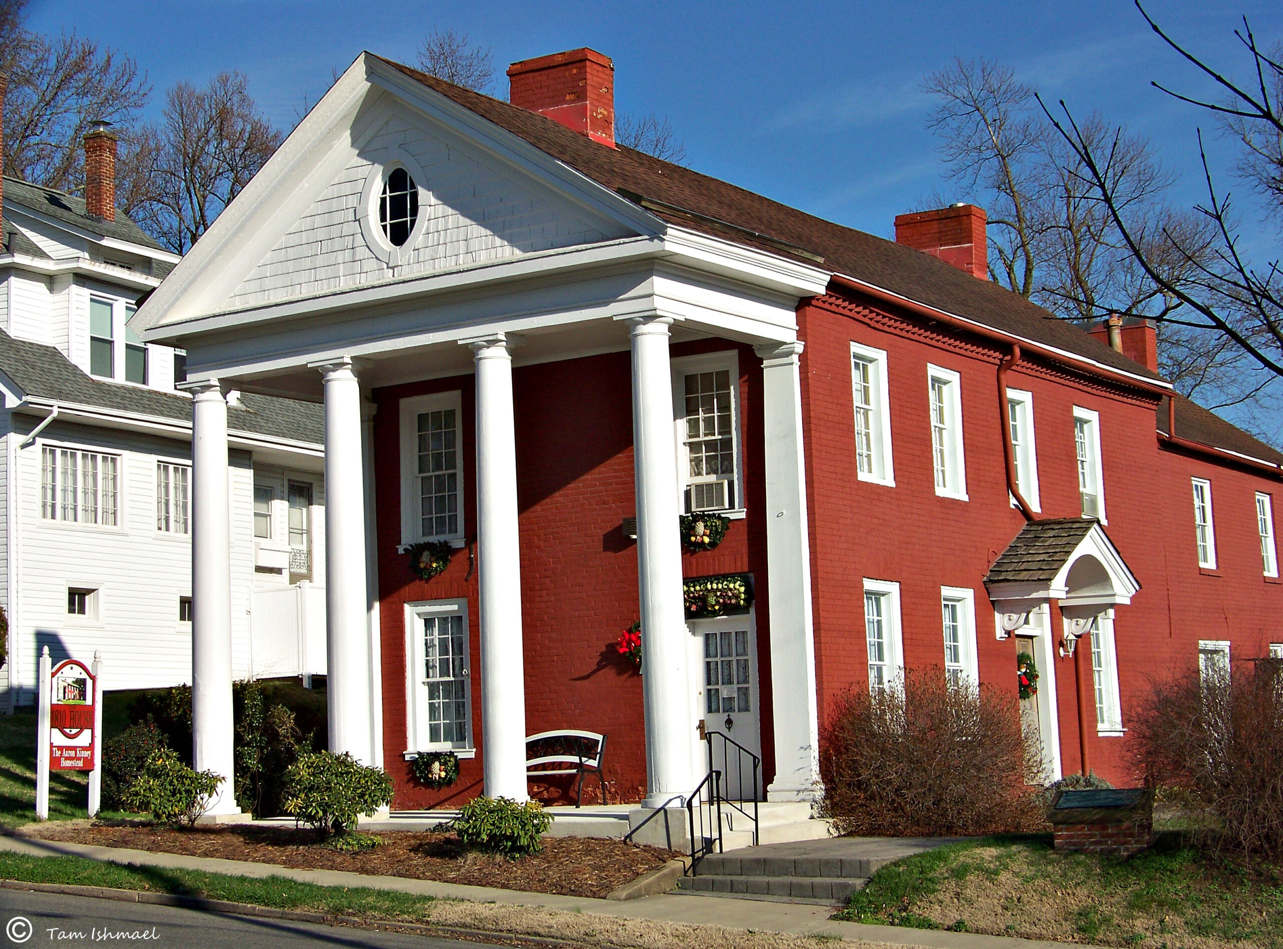
Page Feedback

Vanceburg Kentucky

Vanceburg Kentucky

Information

lat: 38.599243 long: -83.3187952

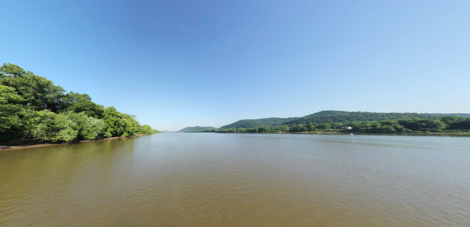
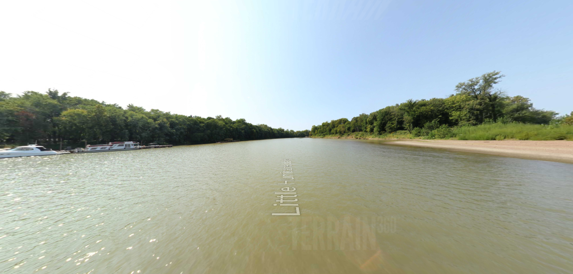
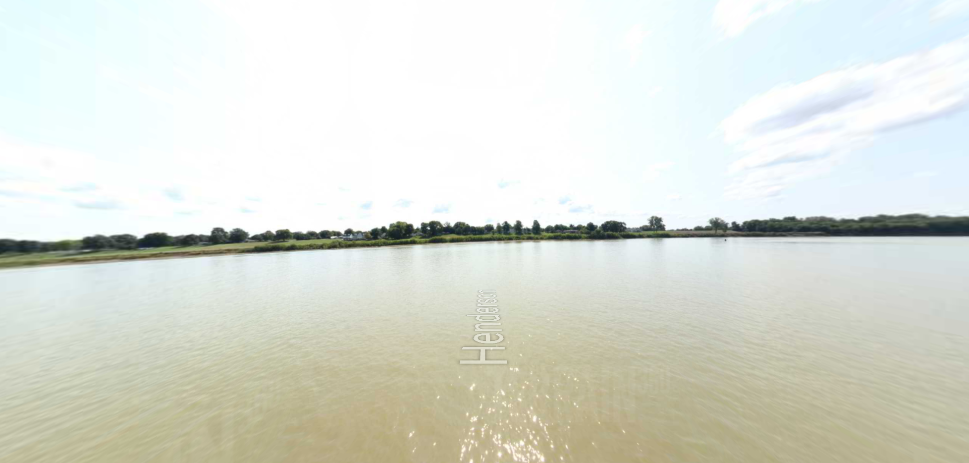
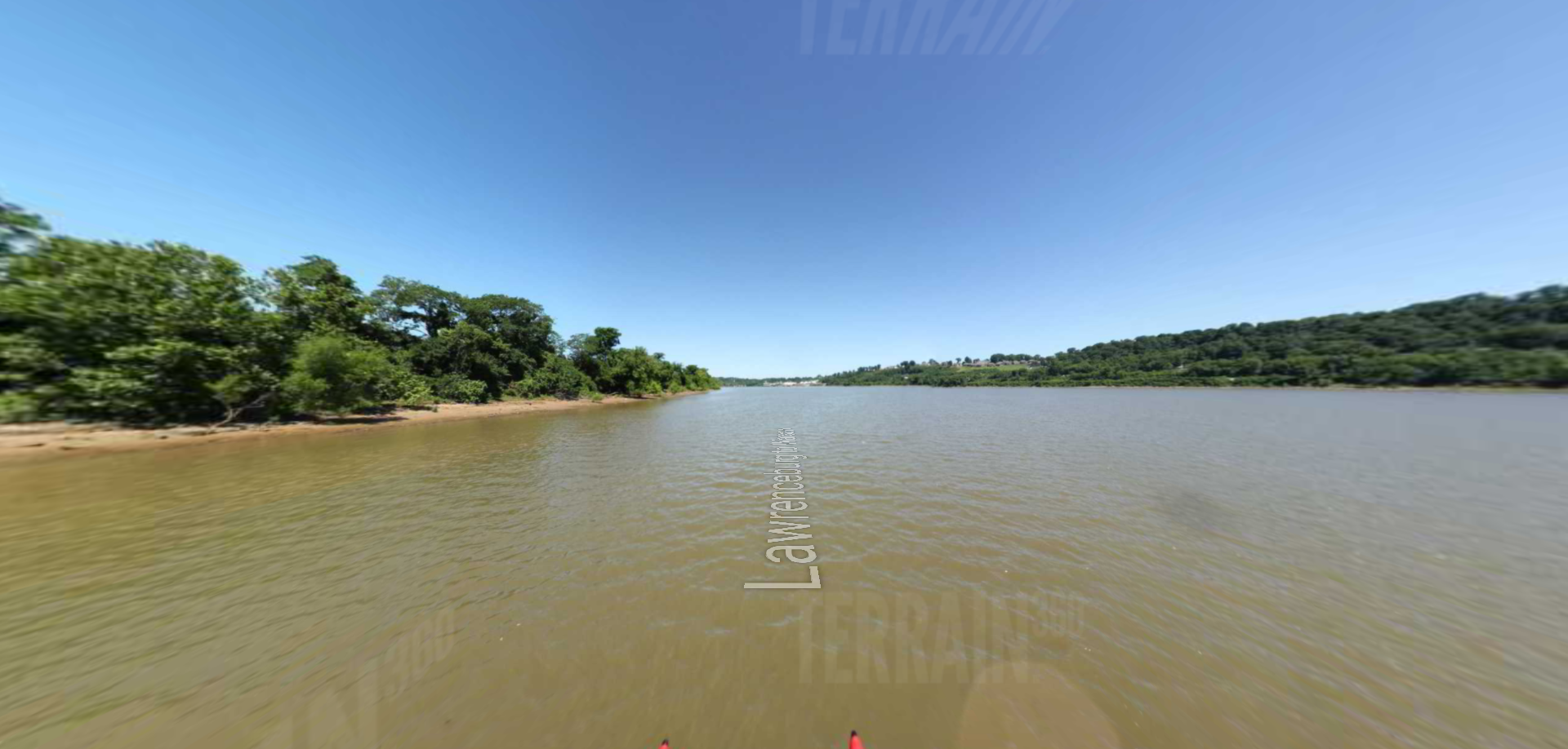
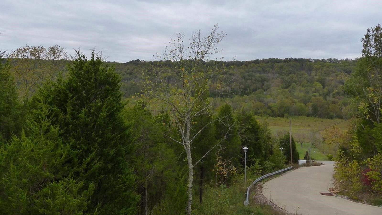
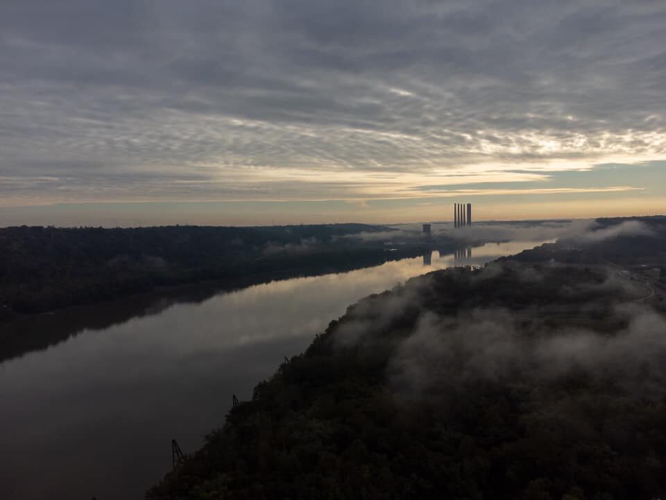
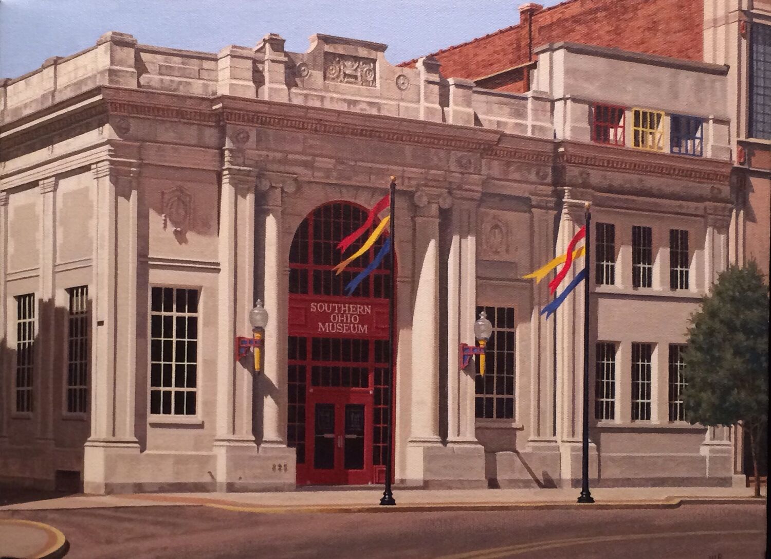
This portion of the virtual tour of the trail on the Ohio River features rolling hills throughout and farmland. It passes through Vanceburg, Kentucky and Rome, Ohio and ends at Ohio Brush Creek.

Nearby Attractions

Distance Unit:

Nearby Trails

Distance Unit:

Cox Park Landing Kentucky

lat: 38.2833282 long: -85.690932
Wurtland Kentucky to Greenup Dam

lat: 38.9262937 long: -84.8647941
18 Mile Island

lat: 38.9262937 long: -84.8647941
Trough Spring

lat: 38.9262937 long: -84.8647941
Mount Vernon to Wabash Island

lat: 38.9262937 long: -84.8647941
Vevay to Madison Indiana

lat: 38.9262937 long: -84.8647941
Hawesville

lat: 38.9262937 long: -84.8647941
18 Mile to Louisville Kentucky

lat: 38.9262937 long: -84.8647941
Little Hurricane Island

lat: 38.9262937 long: -84.8647941
Henderson

lat: 38.9262937 long: -84.8647941
Lawrenceburg to Warsaw

lat: 38.9262937 long: -84.8647941
West Point Museum

lat: 38.000334367727 long: -85.948092781086
Send Feedback

Instagram Feed