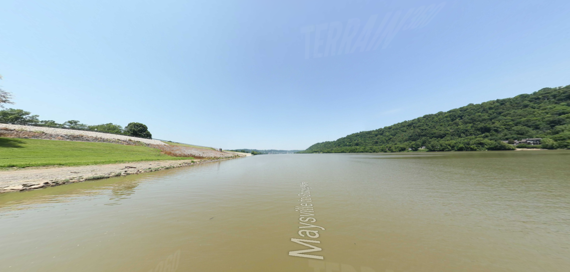
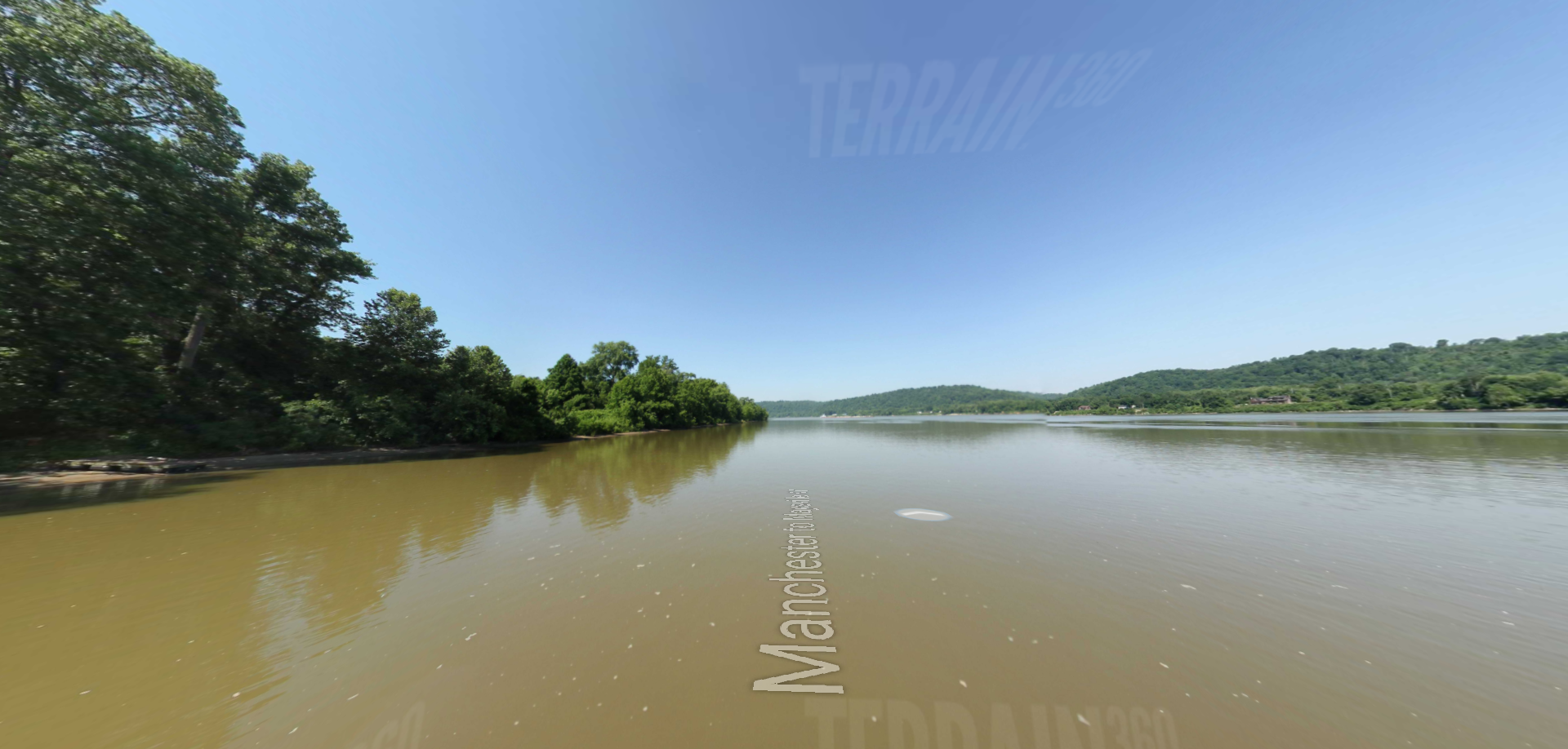
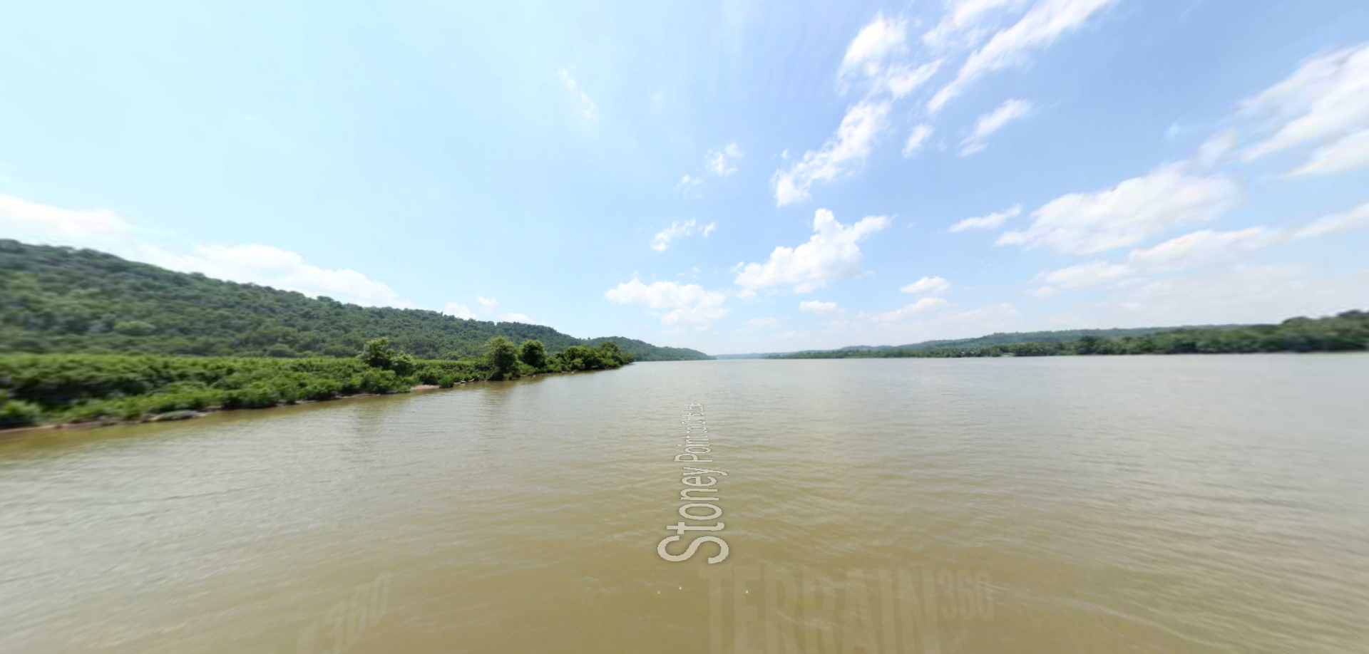
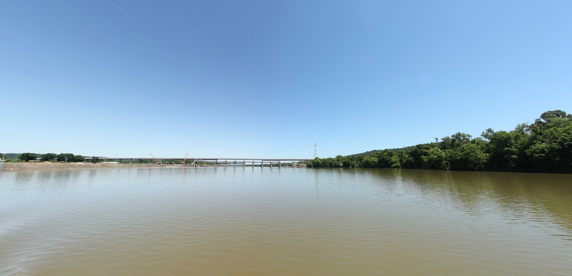
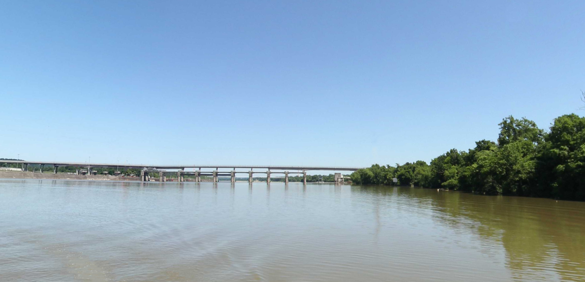
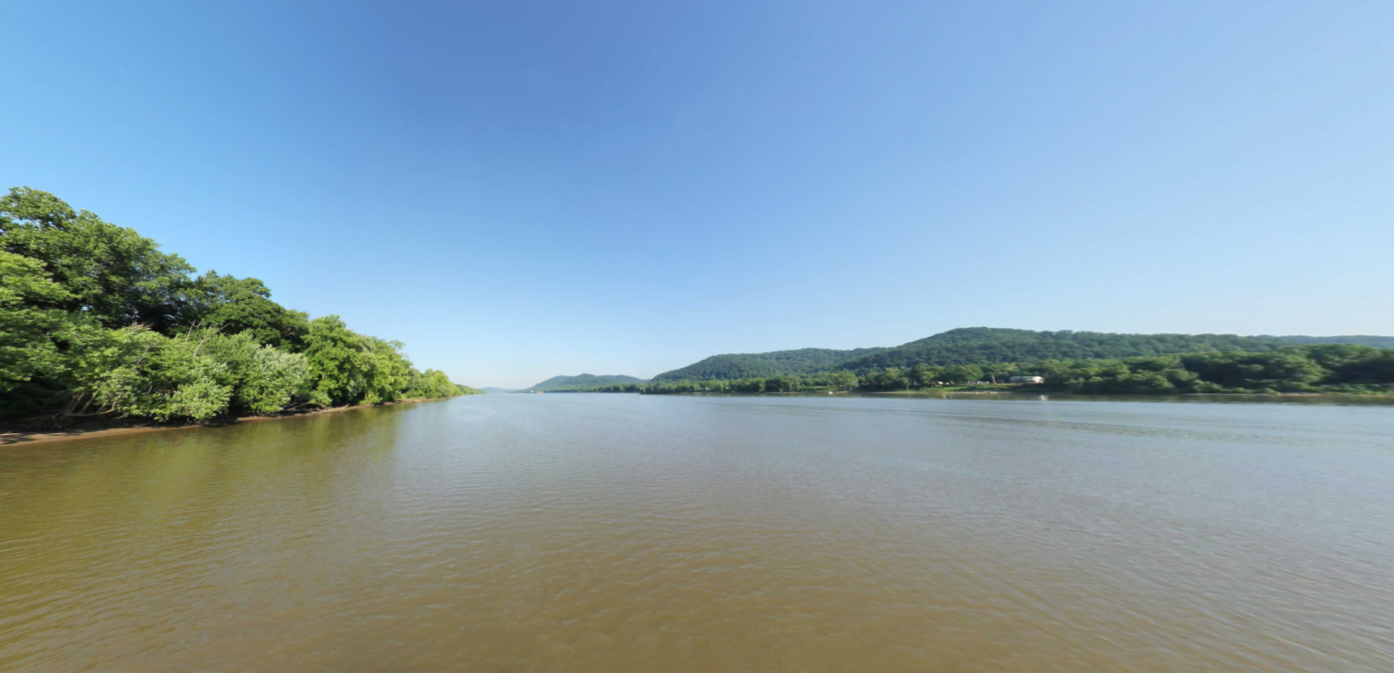
Examine the Ohio River via a waters eye view below. This stretch of the Ohio passes Sciotoville, New Boston, and Portsmouth, Ohio to the north and South Shore, Kentucky to the south.
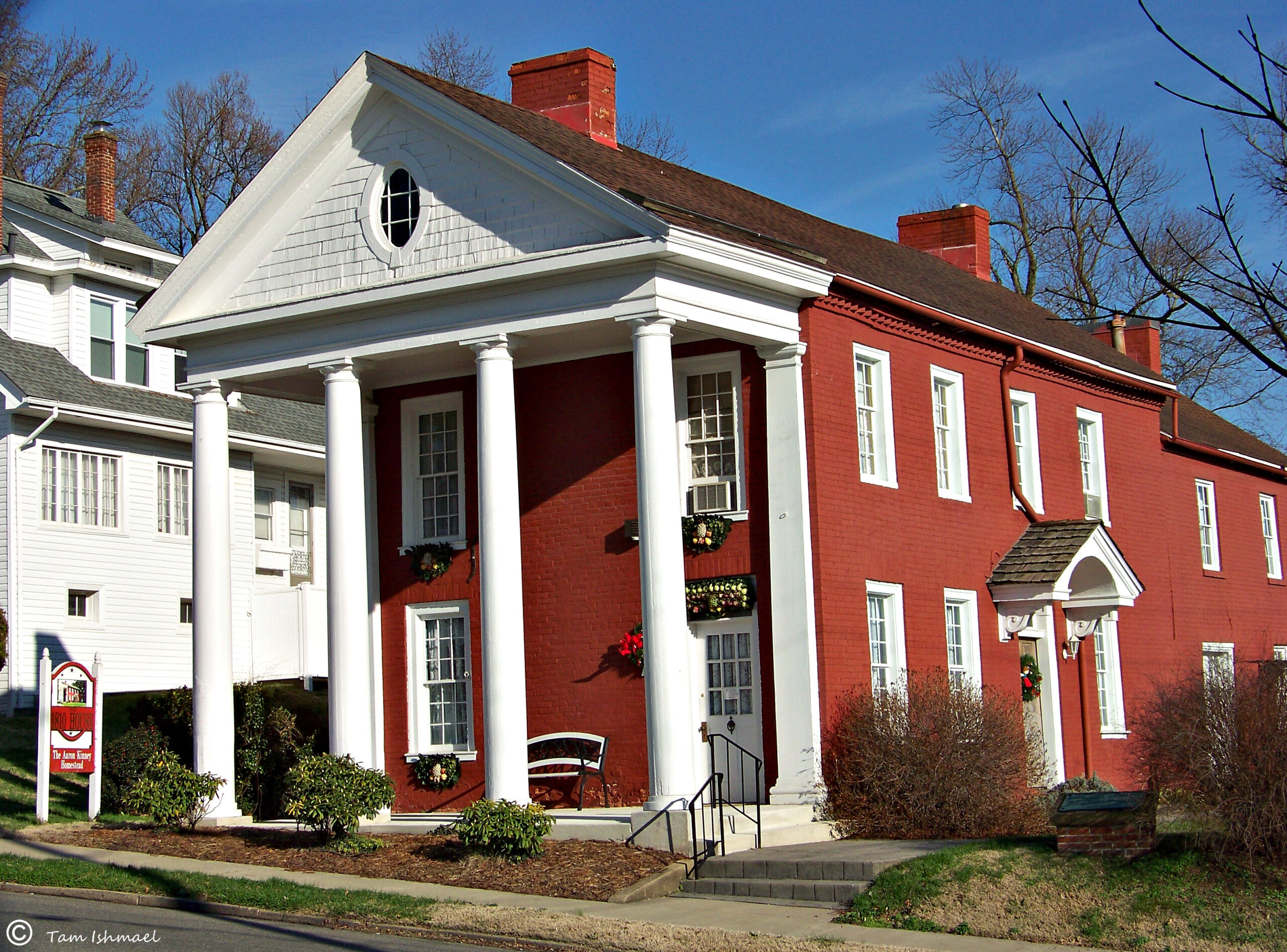
Step into this historic old homestead and be reminded of the courage of the pioneers who cleared, settled and cultivated the area. The 1810 House is is one of the first three brick structure homes…
Leave city life behind and roam the hills, valleys, lakes, and 63,000-acre Shawnee Forest at Shawnee Lodge and Conference Center. Explore the spacious Shawnee Lodge and Conference Center with attractions and amenities for the entire…
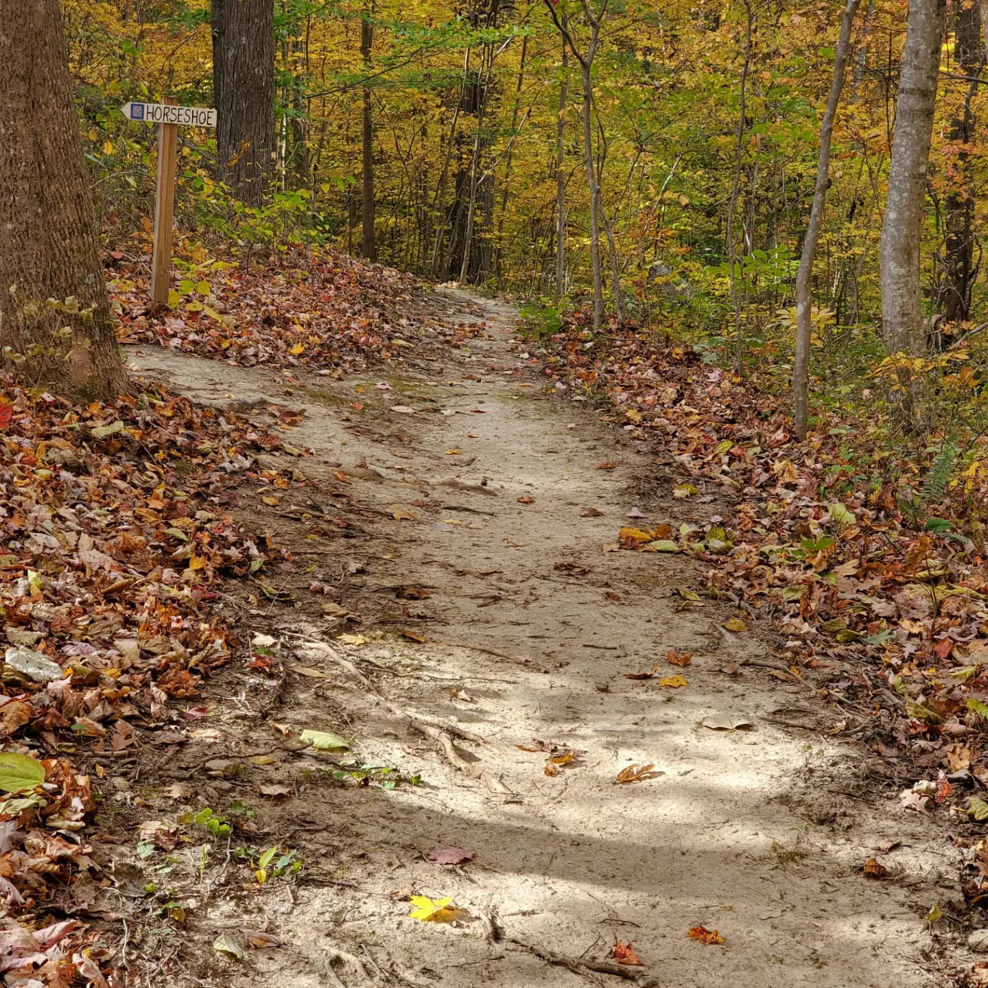
Southern Ohio Mountain Biking Association (SOMBA) is a community organization promoting responsible mountain biking that works to bring local trails to Portsmouth, Ohio. A collective of like-minded individuals advocating for building, maintaining, and preserving access…
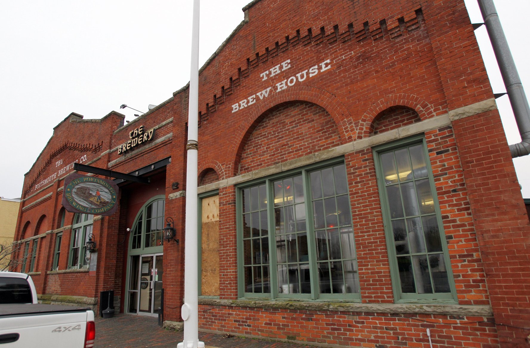
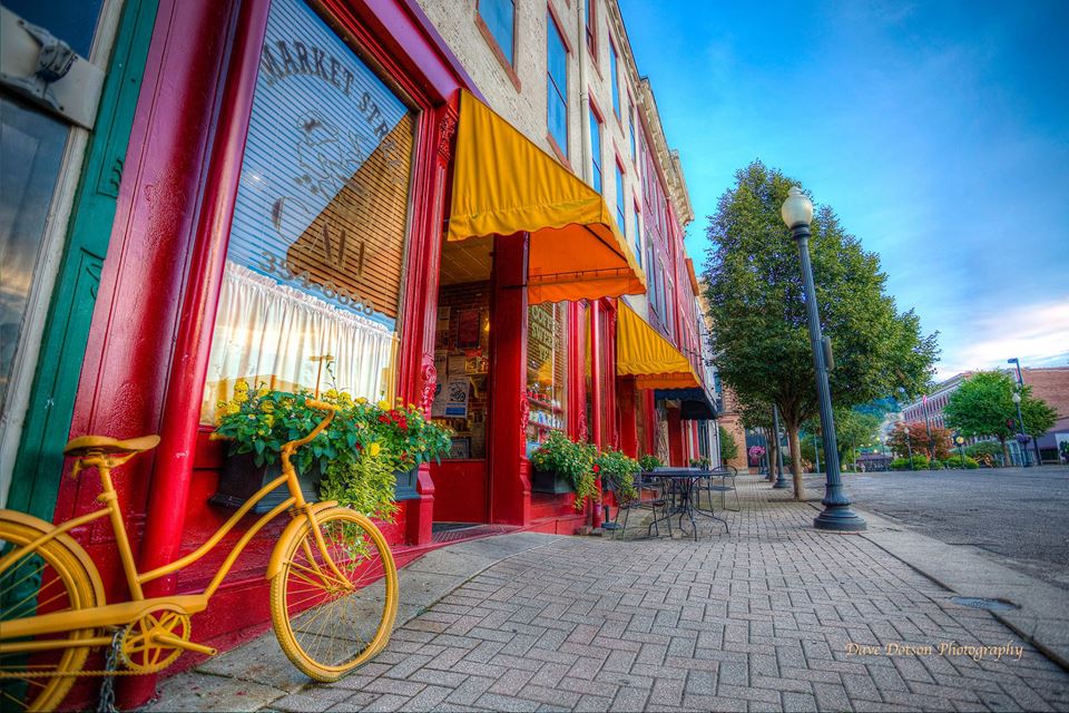
The Portsmouth Brewing Company was built at 224 2nd Street, in 1843, as a brewery. The building re-opened in 1997 at the Portsmouth Brewing Company and is the oldest micro-brewery in the Midwest! The micro-brewery…
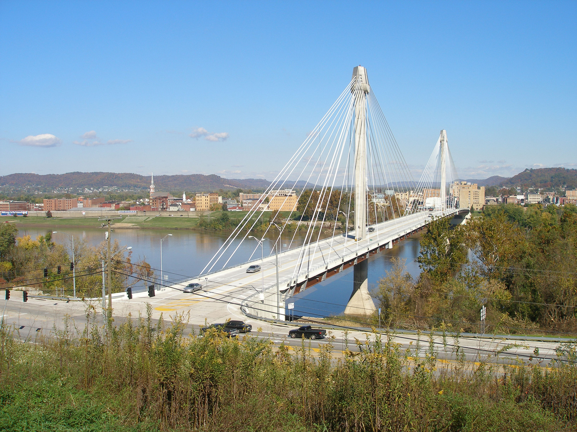
Portsmouth is a city that was settled in the late 1700’s and was incorporated in 1815. It is the county seat of Scioto County, Ohio and is located in southern Ohio 41 miles (66 km)…
In 1799 Alexander Parker established Alexandria, a small community on the west bank of the Scioto River at its junction with the Ohio River. Located on low ground and by two rivers, Alexandria was prone…
Giovanni’s Pizza is an established brand name that has been providing its customers with the highest quality food for over 50 years. Our focus on food quality and customer satisfaction helps us build a relationship…
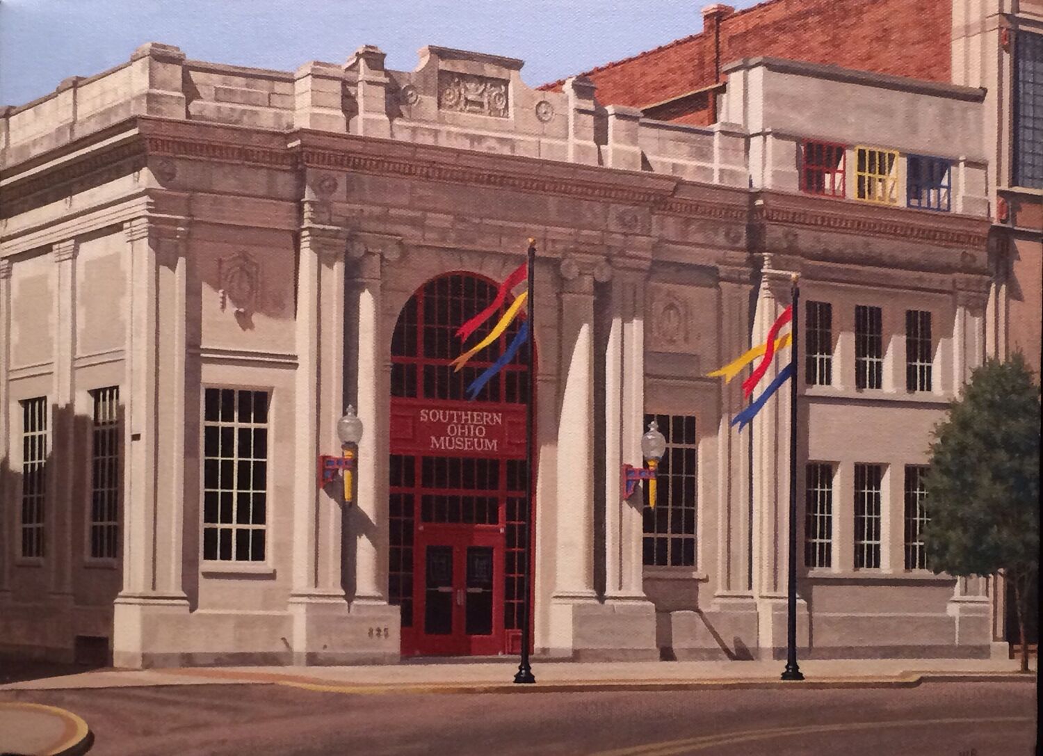
The Southern Ohio Museum opened its galleries and programs to the public in 1979 after the community’s largest bank moved its headquarters from the handsome Beaux-Arts-style building at 825 Gallia Street in the heart of…
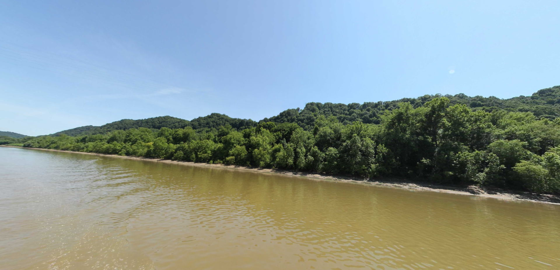
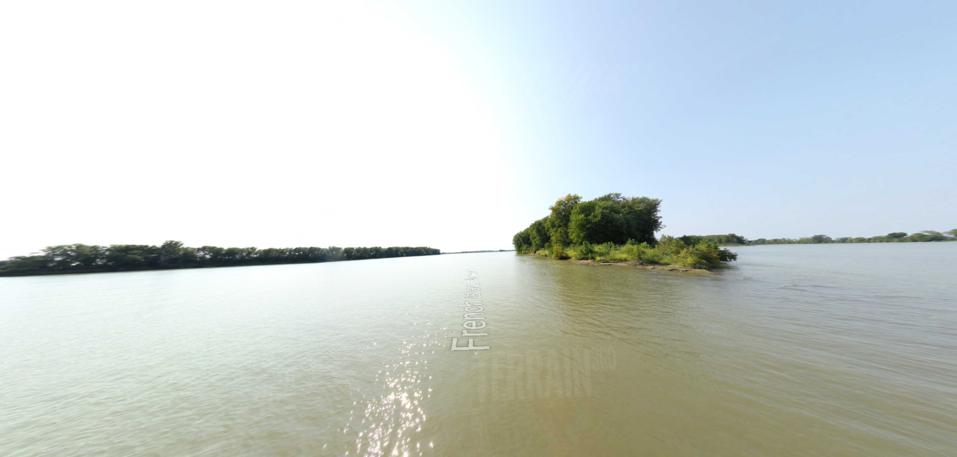
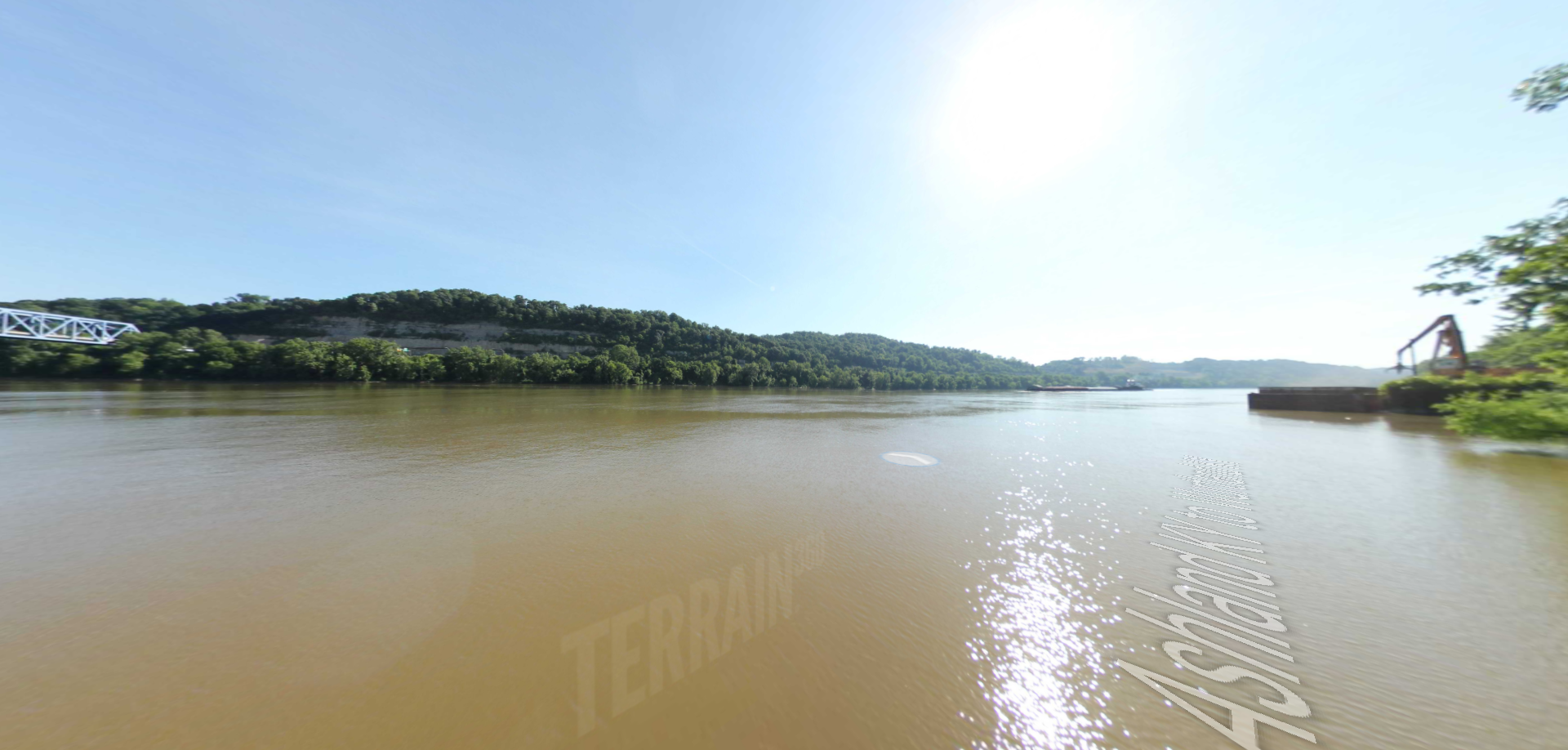
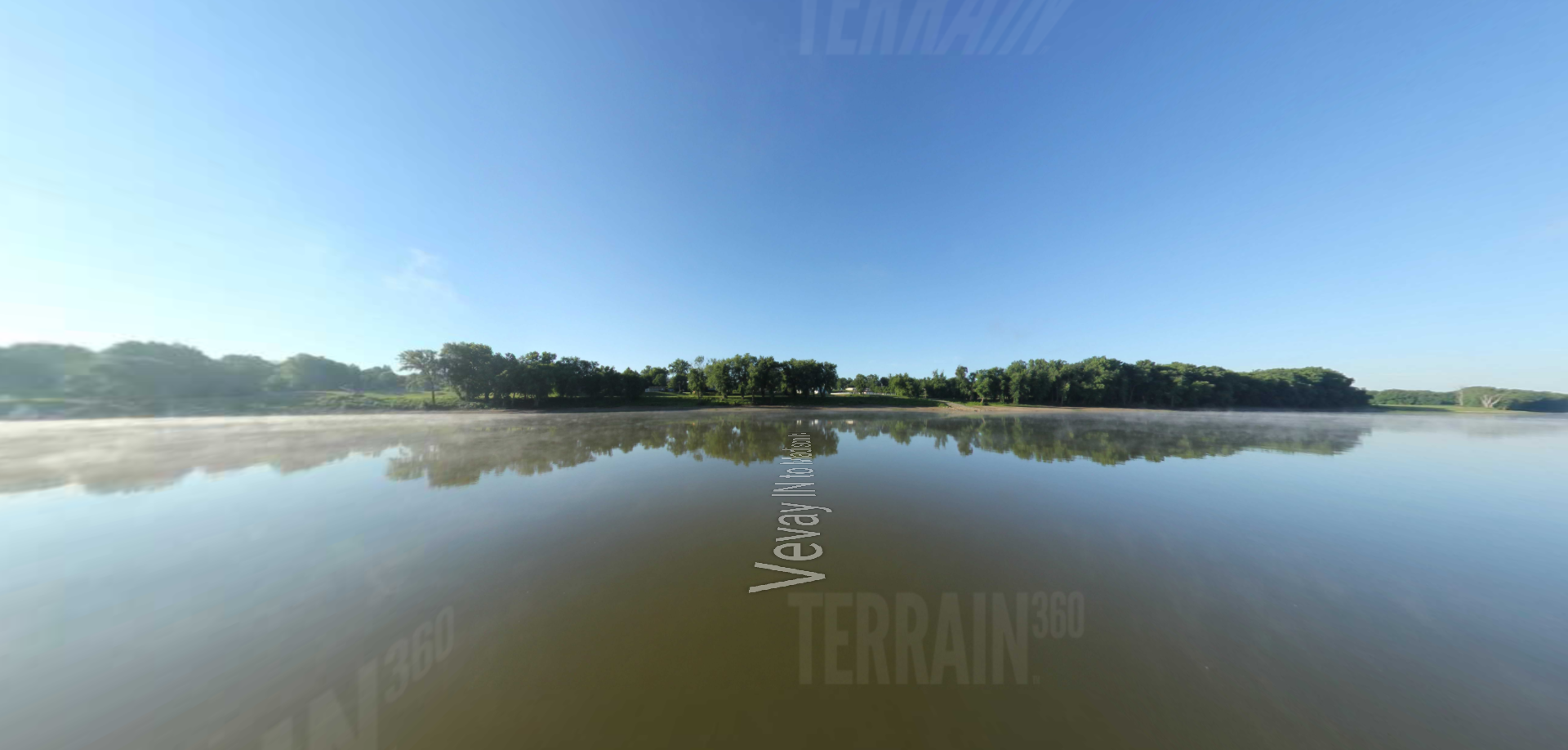
This portion of the virtual tour of the trail on the Ohio River features rolling hills throughout and farmland. It passes through Vanceburg, Kentucky and Rome, Ohio and ends at Ohio Brush Creek.