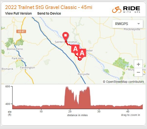
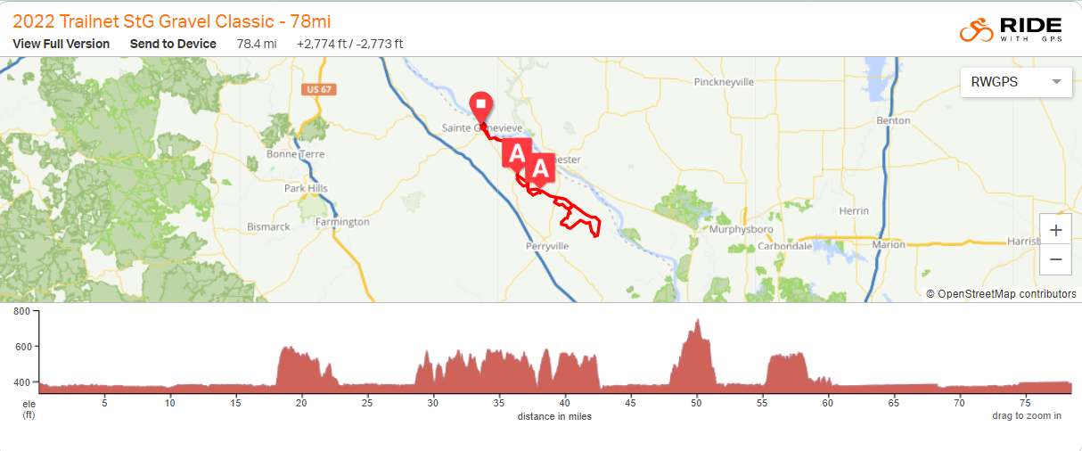
StG Gravel Classic
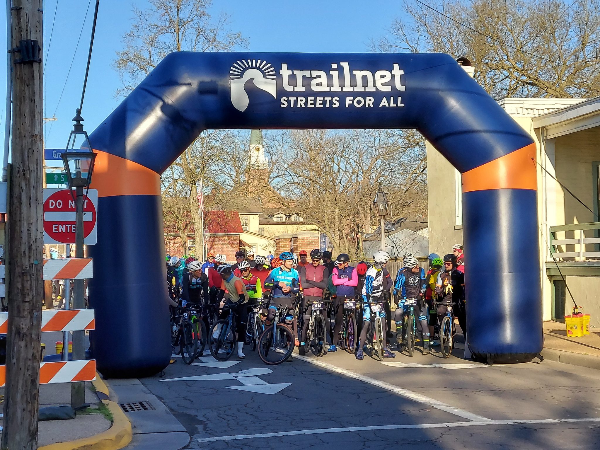
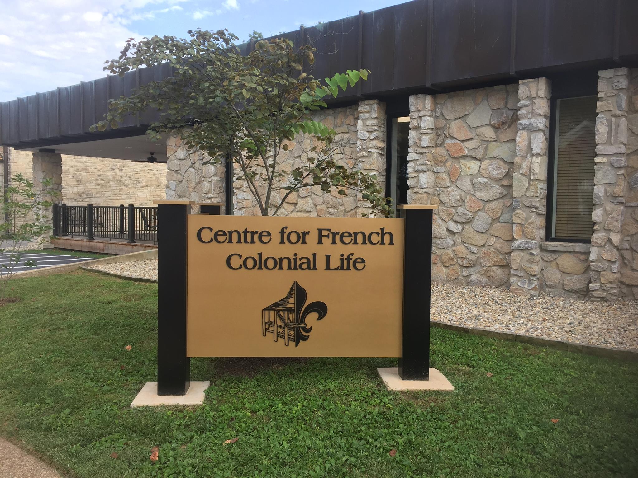
The StG Gravel Classic explores the backroads and levees along the Mississippi River in and around Ste. Genevieve, MO. This is Trailnet’s first ever gravel grinder event. In the spirit of gravel biking, the routes are accessible to all skill levels and only a limited amount of time will be spent on roads with cars. Trailnet’s inaugural gravel ride covers a lot of ground only accessible by bike, and is 90% unpaved.
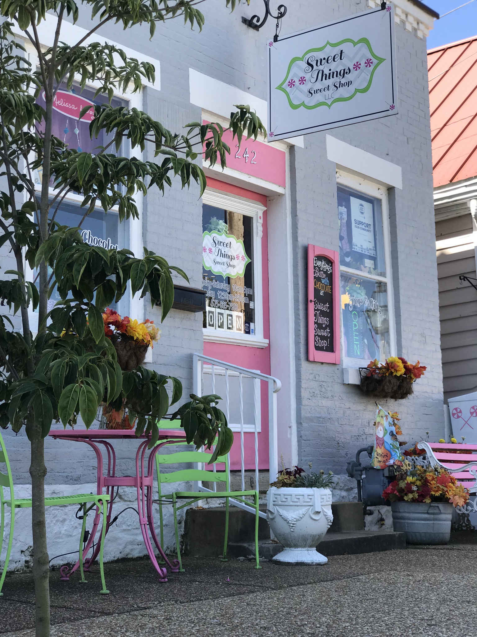
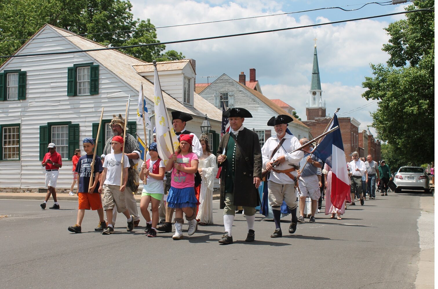
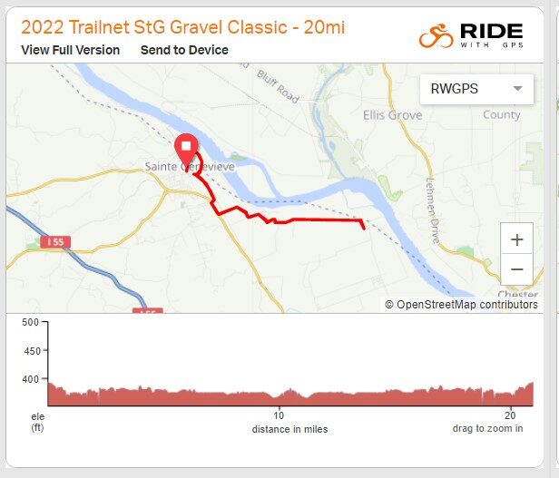
Challenge yourself and your friends with great gravel riding, and enjoy everything historic Ste. Genevieve has to offer. Choose a route 20, 45, or 78 miles long. From the starting point at 150 Market Street in Ste. Genevieve, at 8:00 all riders will be escorted to the gravel starting point. From then on, you may travel at your own pace enjoying the sights along the way.
For more information about levels of participation, awards, and to register go to our website.
*see website for updated information for this year*
Distance Unit:
Distance Unit:

A breathtaking viewpoint overlooking the Trail of Tears State Park. Car access is available


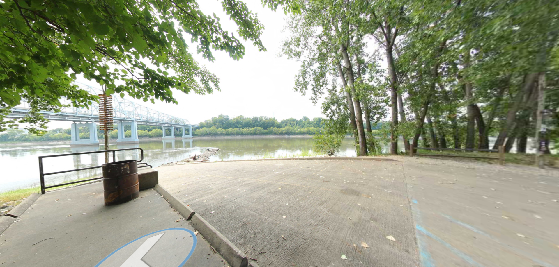
A boat ramp that allows visitors to access the Trail of Tears