Page Feedback

Trail of Tears State Park
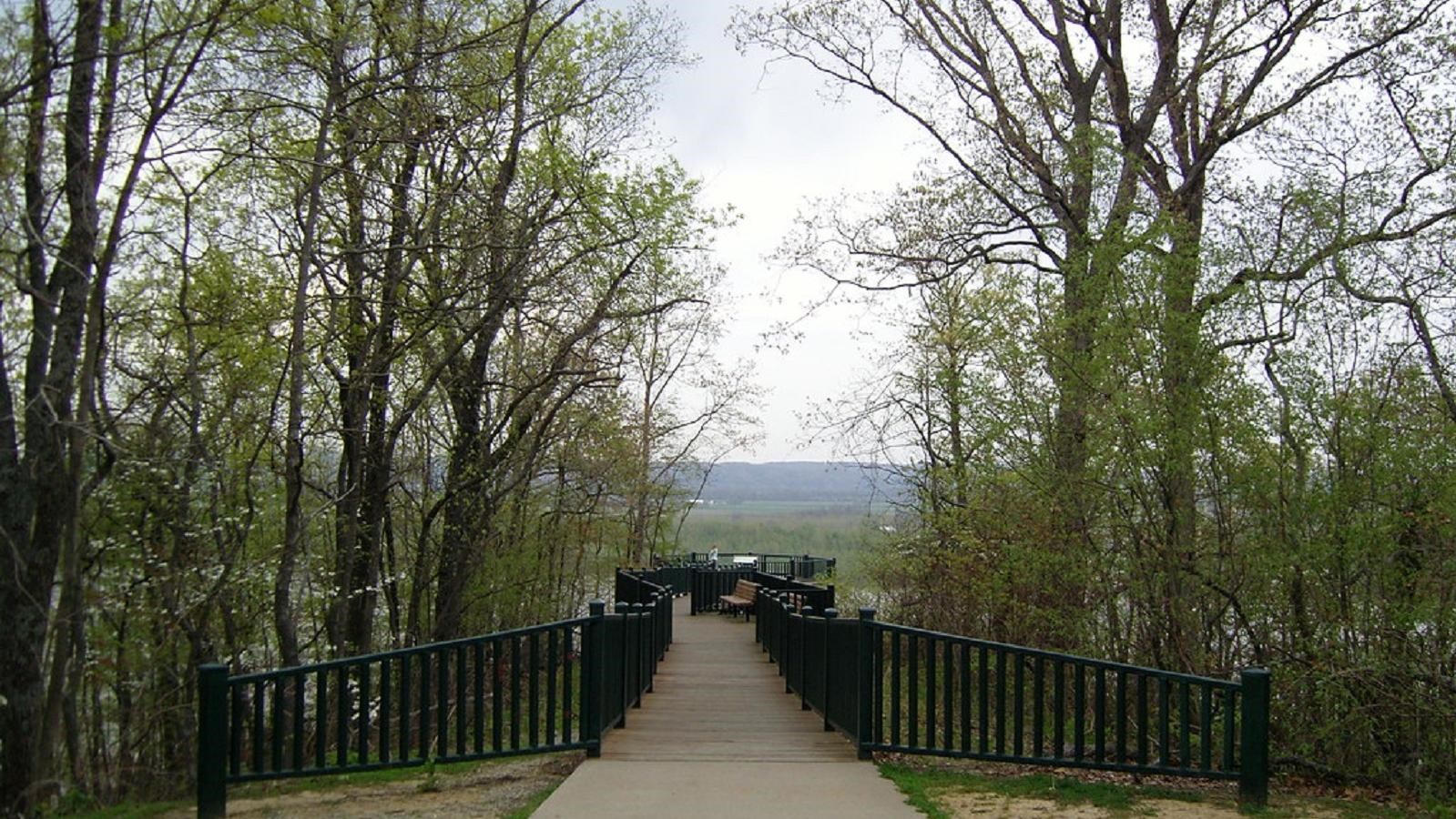
Trail of Tears State Park

Information

The park is open year round. Roads may be closed due to snow or ice. The Visitor Center is only open on Saturday 10-4 and Sunday 12-4 mid-March through April. The Visitor Center is open 9-5 Wednesday through Saturday and 12-5 on Sunday May through October.
573-290-5268 or 573-290-5284
No entrance fees. There are camping fees.
Pets must be on a leash at all times. Only federally recognized service animals are allowed in the Visitor Center.
lat: 37.4388065 long: -89.481025

Trail of Tears State Park is located adjacent to the Mississippi River.  In 1804 Meriwether Lewis rode a custom made, 55-keelboat down the Ohio River and joined William Clark in Clarksville, Indiana.  From there, Clark took the boat down the Ohio River and then up the Mississippi River passing by this spot.   There is a Lewis and Clark wayside exhibit located at the main overlook within Trail of Tears State Park.   The ADA accessible overlook is located roughly 160 feet above the Mississippi River.  The overlook gives you a great view of upstream, downstream and across the river into Illinois.

The park marks another tragic event later in American history.  In 1838 and 1839 the Cherokee were forced from their homes in Georgia, North Carolina, Alabama and Tennessee and were moved to the Indian Territory, known as Oklahoma today.  There were 17 detachments of Cherokee.  A few detachments traveled by steamboat along the Tennessee River, Ohio River, Mississippi River to the Arkansas River into Indian Territory.  However the majority used the Northern land route and crossed the Mississippi River within Trail of Tears State Park.  Moccasin Springs Road in front of the Visitor Center is part of the original route.

The park has a Visitor Center with exhibits and a video about the Cherokee Removal, two campgrounds, hiking trails, picnic areas and a lake where you can fish and swim.

Nearby Attractions

Distance Unit:

Nearby Trails

Distance Unit:

The Gateway Arch

lat: 38.6254157 long: -90.1881888
Arrow Rock

lat: 39.0685825 long: -92.9457706
Trail of Tears Nature Trail

 Here, nine Cherokee Indian groups braved harsh winter conditions while crossing the Mississippi River in 1838-1839, marking a sorrowful chapter in American history. The park also has: shaded picnic sites, hiking and horse trails, opportunities to fish…

lat: 37.4388916 long: -89.480974
Lewis and Clark Memorial

lat: 38.57843 long: -92.1714
Miami to Big Muddy

lat: 39.32615 long: -93.22803
Fort Bellefontaine

lat: 38.827083 long: -90.214293
Trail of Tears to Cairo

The path taken by Chief John Ross on his way to Cairo. (https://www.hmdb.org/m.asp?m=161480)

lat: 37.45684 long: -89.46319
Front Loop

lat: 38.82679 long: -90.21614
Chamoise to Klondike MO

lat: 38.70603 long: -91.73071
Lewis and Clark Nature Trail

lat: 38.77314 long: -90.4821
Trail of Tears Memorial

Explore the Trail of Tears State Park to delve into a somber chapter in American history. Here, nine Cherokee Indian groups crossed the harsh winter Mississippi River in 1838-1839 during their forced relocation to Oklahoma.…

lat: 37.4439902 long: -89.468381
LaBenite Park to Miami

lat: 39.16744 long: -94.39343
Send Feedback

Instagram Feed