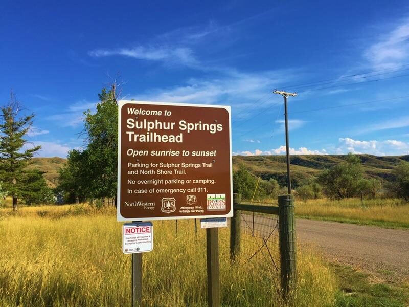
Sulphur Springs Trail
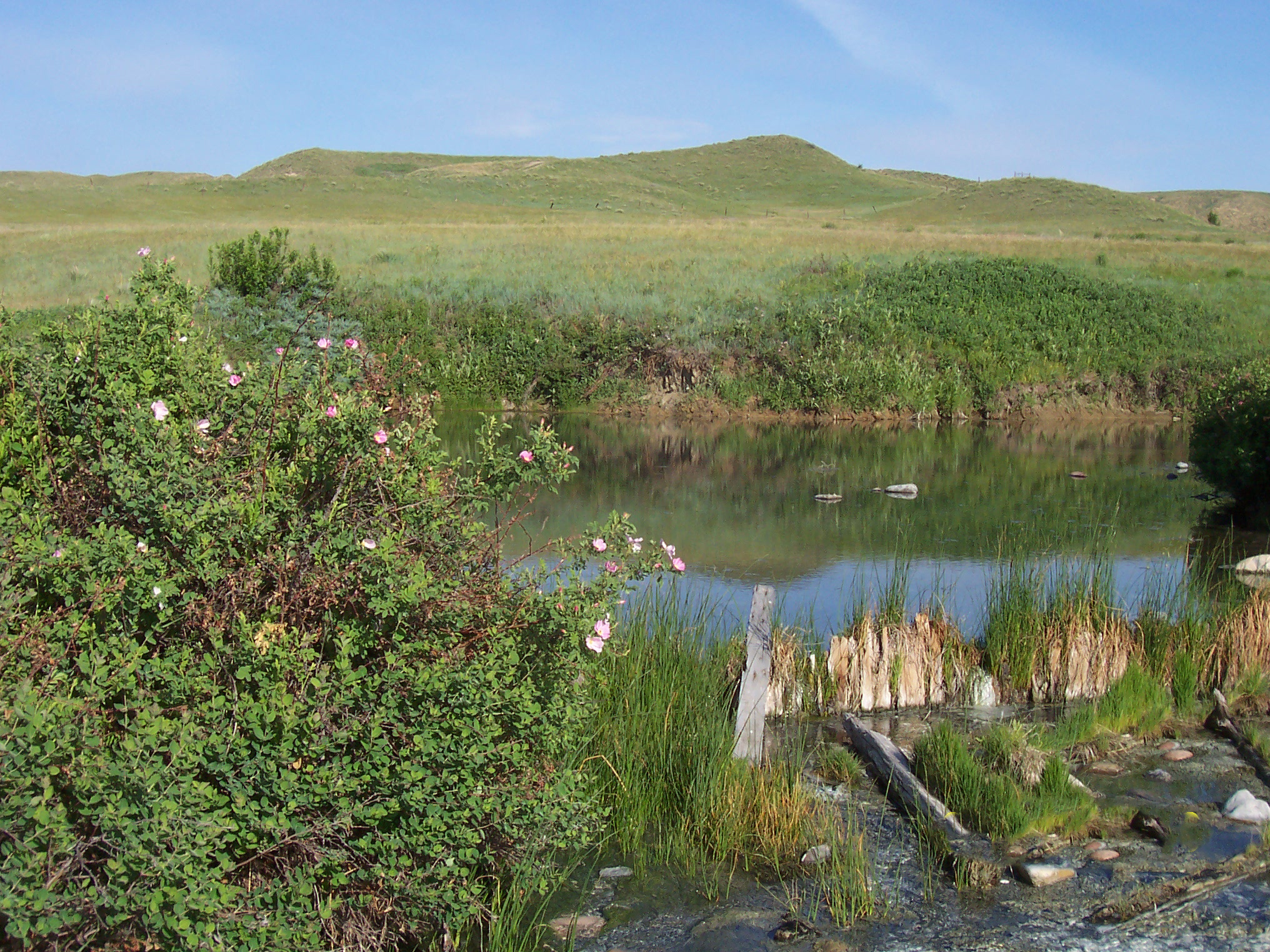
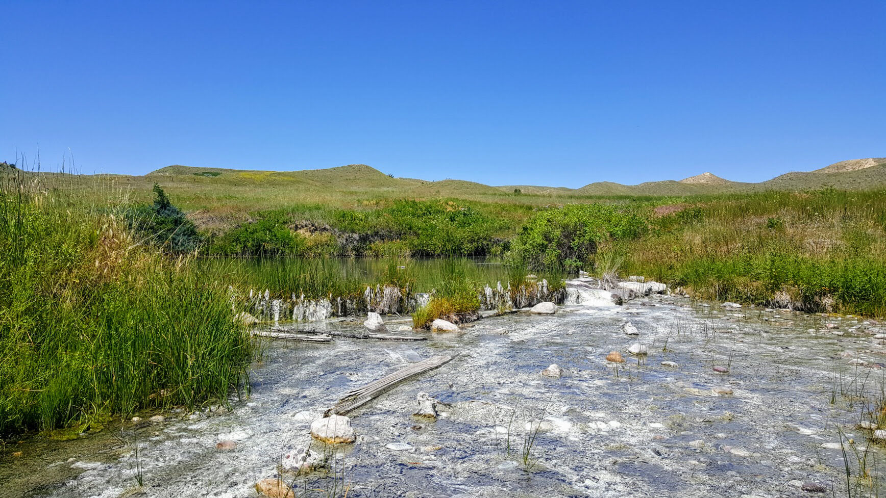
Sulphur Springs Trail, offering an easy hiking opportunity into Montana native prairie is a fascinating spot given its rich history. During the Lewis and Clark expedition in 1805, Sacagawea had fallen ill at the south portage camp located near the spring. The water appeared to have had medicinal and healing qualities because when it was given to Sacagawea, she recovered and her health returned. The trail is only a short 15 minutes drive from the Great Falls and the footpath is along a remote stretch of river that takes the adventurer to Sulphur Springs. Once you find yourself at the small loop on the tip of this hike, you will be at the Belt Creek Overlook. You may also spot a bunch of deer and bunnies along the way, so keep your eyes wide open!
There are multiple informative signs along the trail, offering information about Lewis and Clark as well as the later hydroelectric developments. Here you can find a map that shows the route from Great Falls. It is also worth noting that the trail is for hikers only and no bicycles are allowed.
Distance Unit:
Distance Unit:


A trail starting at Hauser Dam and overlooking the Missouri River.