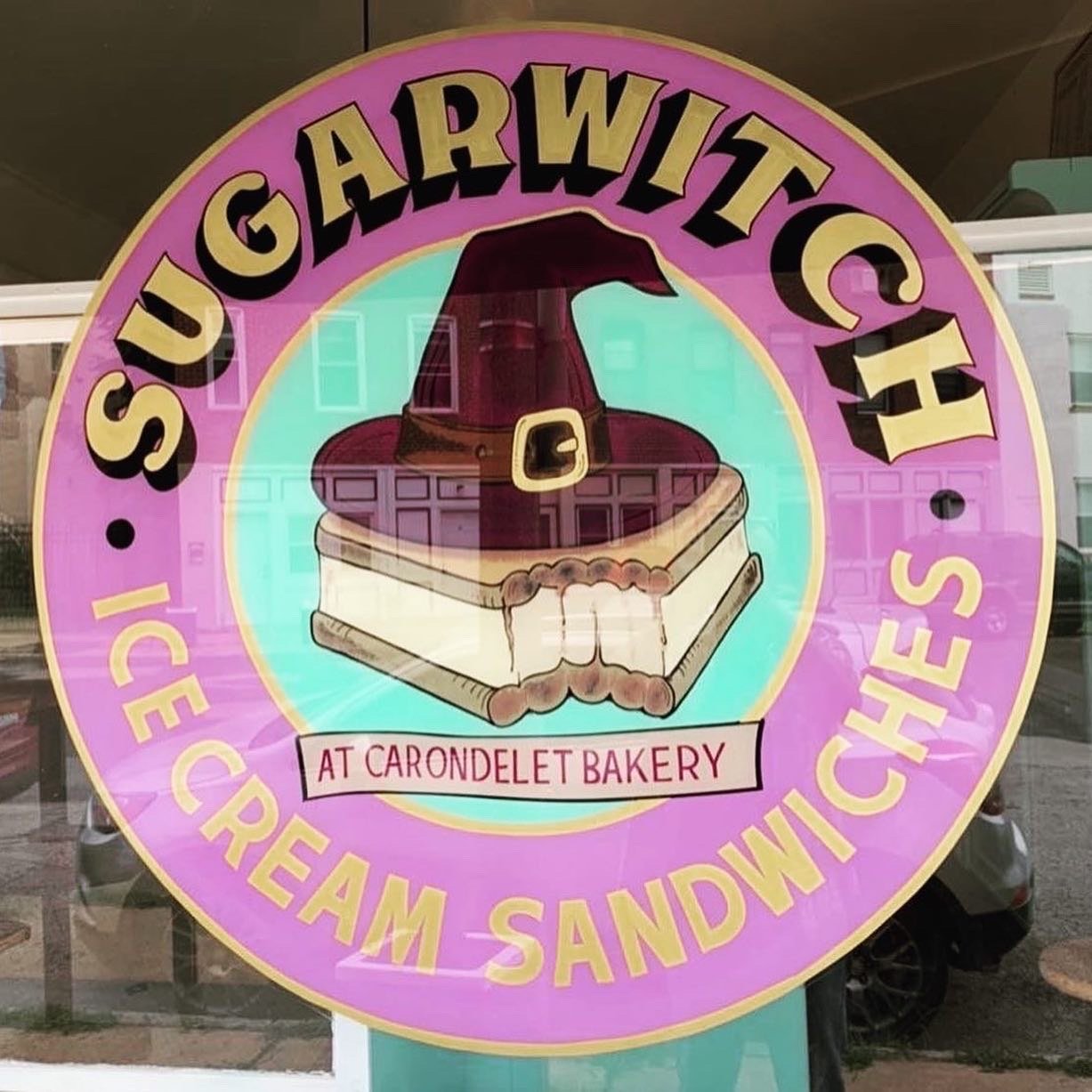
Sugarwitch
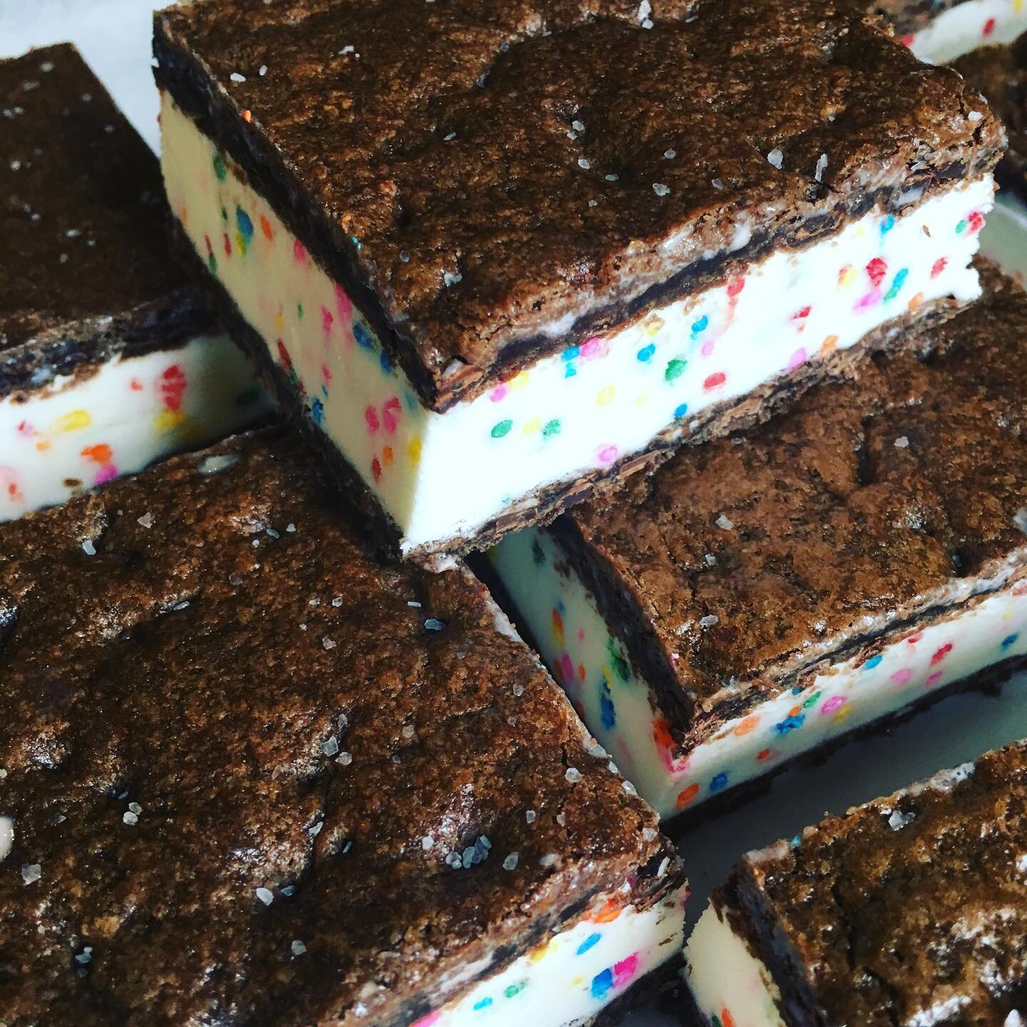
Serving ice cream sandwiches inspired by witches of legend, Sugarwitch creates small-batch, scratch-made frozen treats that are St. Louis favorites. Ice cream sandwiches have flavors that change seasonally and are named after witches from literature and lore. Try “Core” varieties like the Ursula (vanilla ice cream, rainbow sprinkles, and salted brownie) or the Elphaba (mint chip ice cream and salted mint brownie). Or experience seasonal changes by trying the Tilly, Tiffany, Calypsa, and more. Sugarwitch also serves pup cups, tea, floats, and other seasonal beverages. One of Sugarwitch’s goals is to create a sustainable food system, which is demonstrated in its commitment to equitably sourcing products and labor. Winner of national and local awards, Sugarwitch is serving the community with nostalgic and innovative ice cream, perfect for a fun stop in St. Louis.
Distance Unit:
Distance Unit:


The path taken by Chief John Ross on his way to Cairo. (https://www.hmdb.org/m.asp?m=161480)


Explore the Trail of Tears State Park to delve into a somber chapter in American history. Here, nine Cherokee Indian groups crossed the harsh winter Mississippi River in 1838-1839 during their forced relocation to Oklahoma.…


Here, nine Cherokee Indian groups braved harsh winter conditions while crossing the Mississippi River in 1838-1839, marking a sorrowful chapter in American history. The park also has: shaded picnic sites, hiking and horse trails, opportunities to fish…


A boat ramp that allows visitors to access the Trail of Tears

