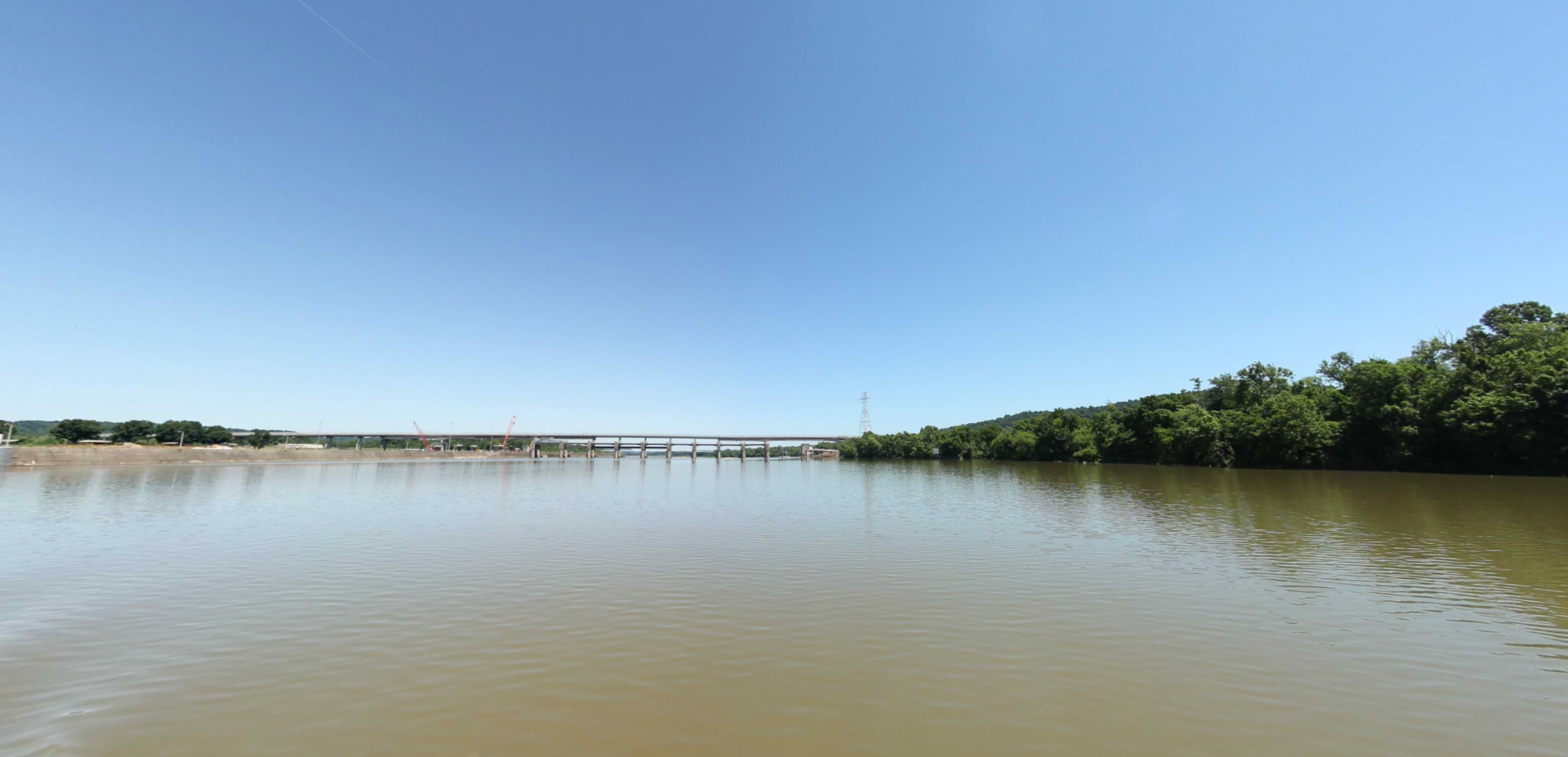
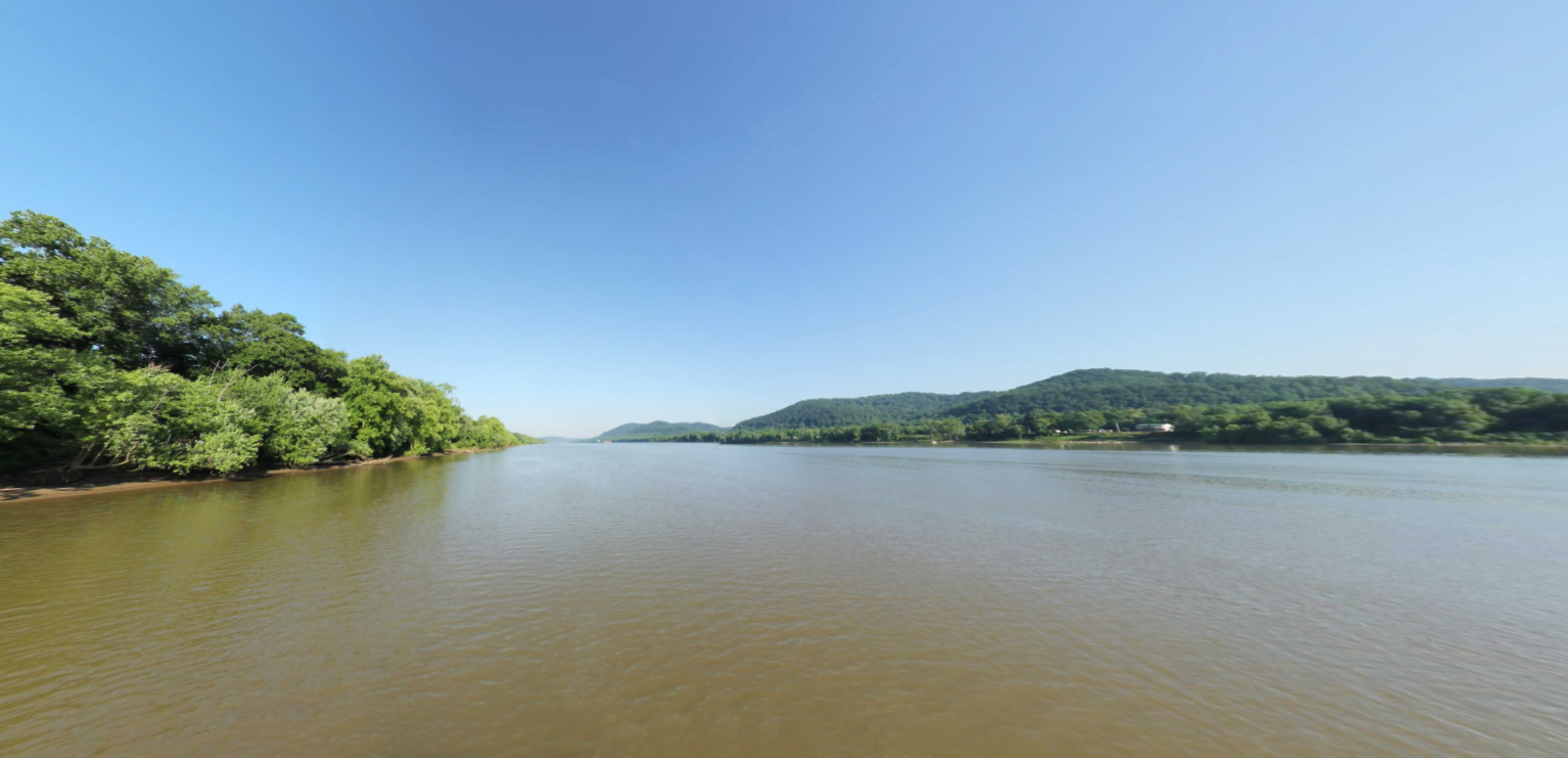
New Boston Ohio
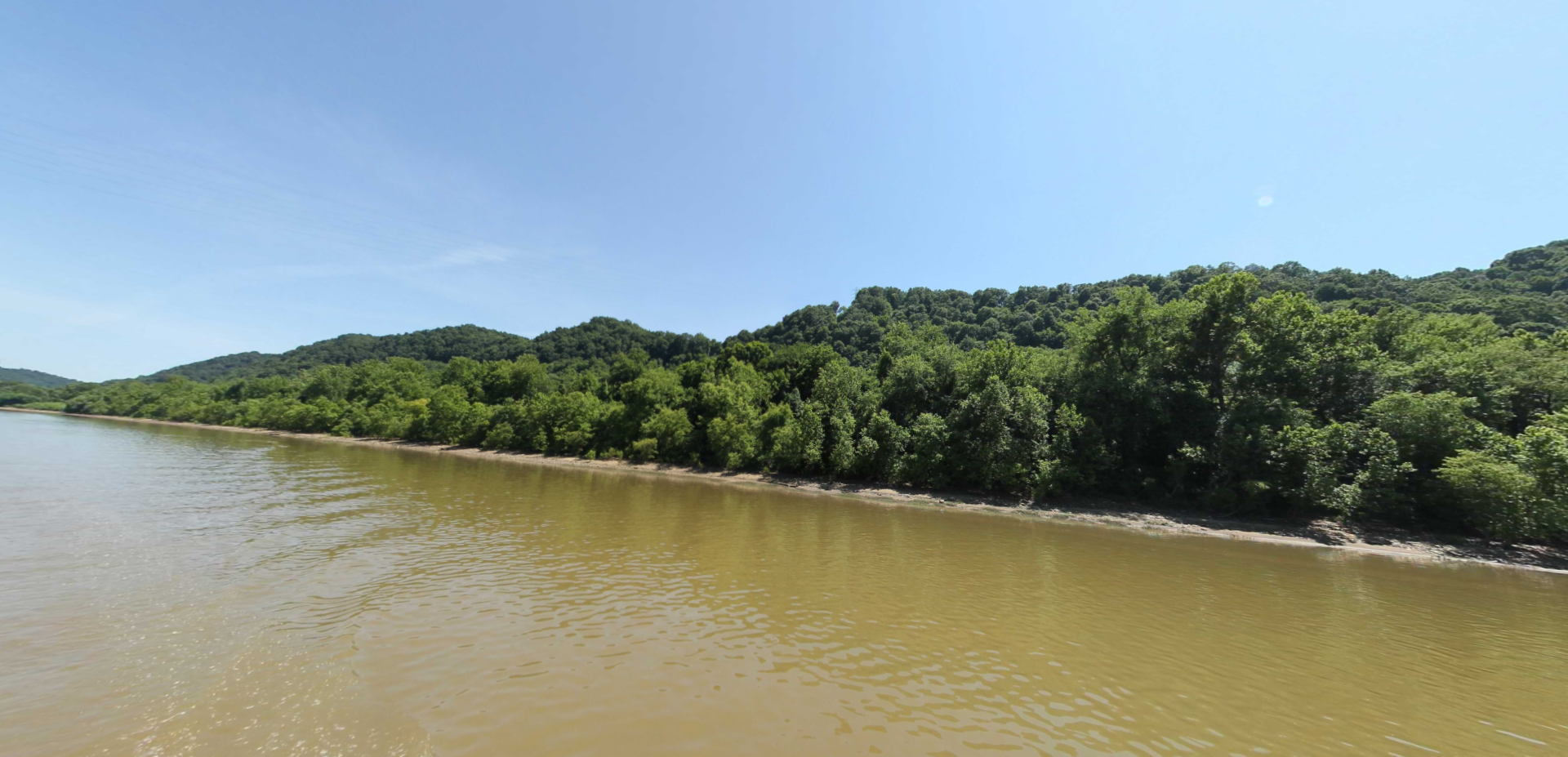
Examine the Ohio River via a waters eye view below. This stretch of the Ohio passes Sciotoville, New Boston, and Portsmouth, Ohio to the north and South Shore, Kentucky to the south.
Distance Unit:
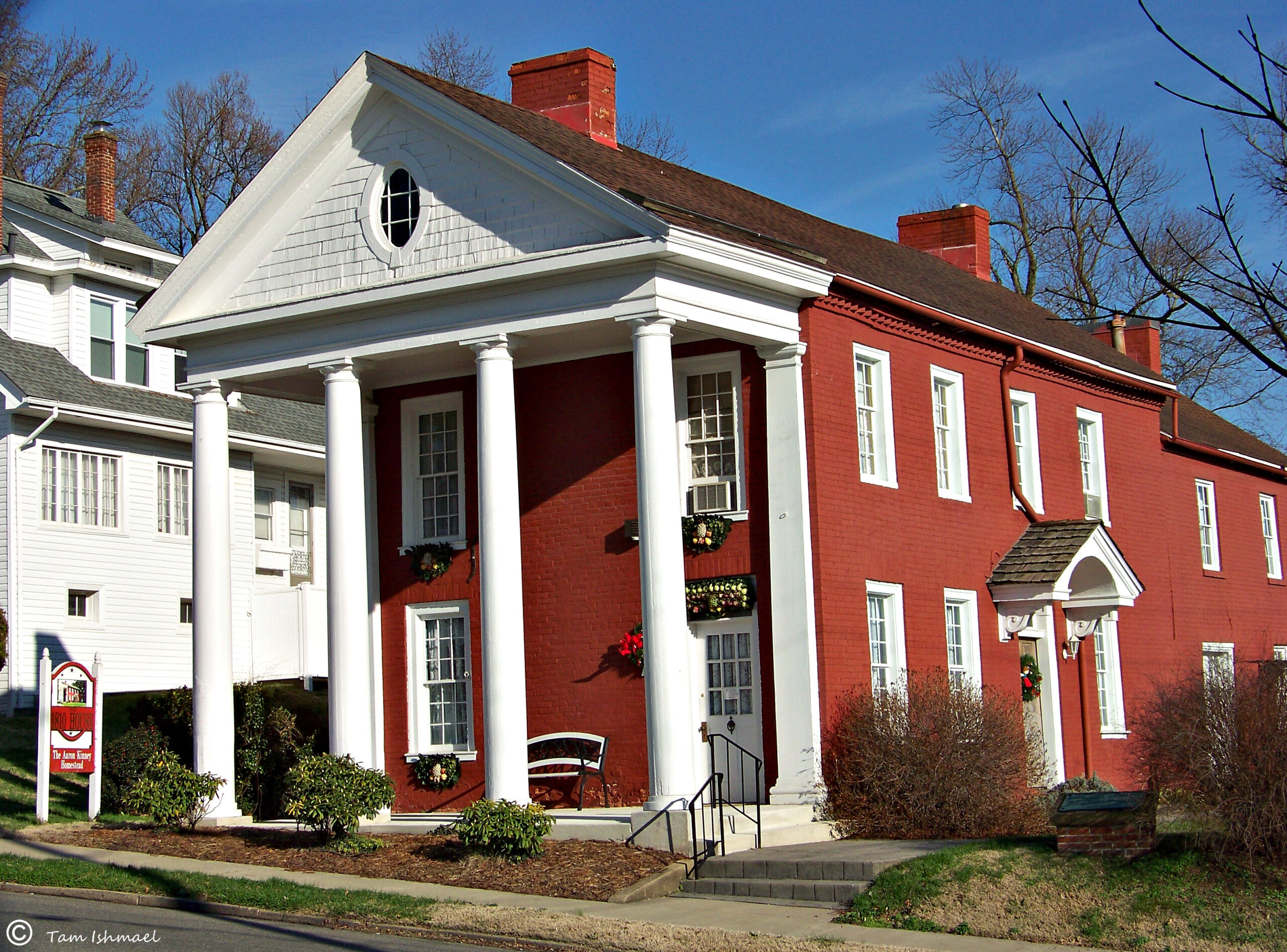

Boneyfiddle Commercial District, Portsmouth, OH, USA
Distance: 3.47 Away
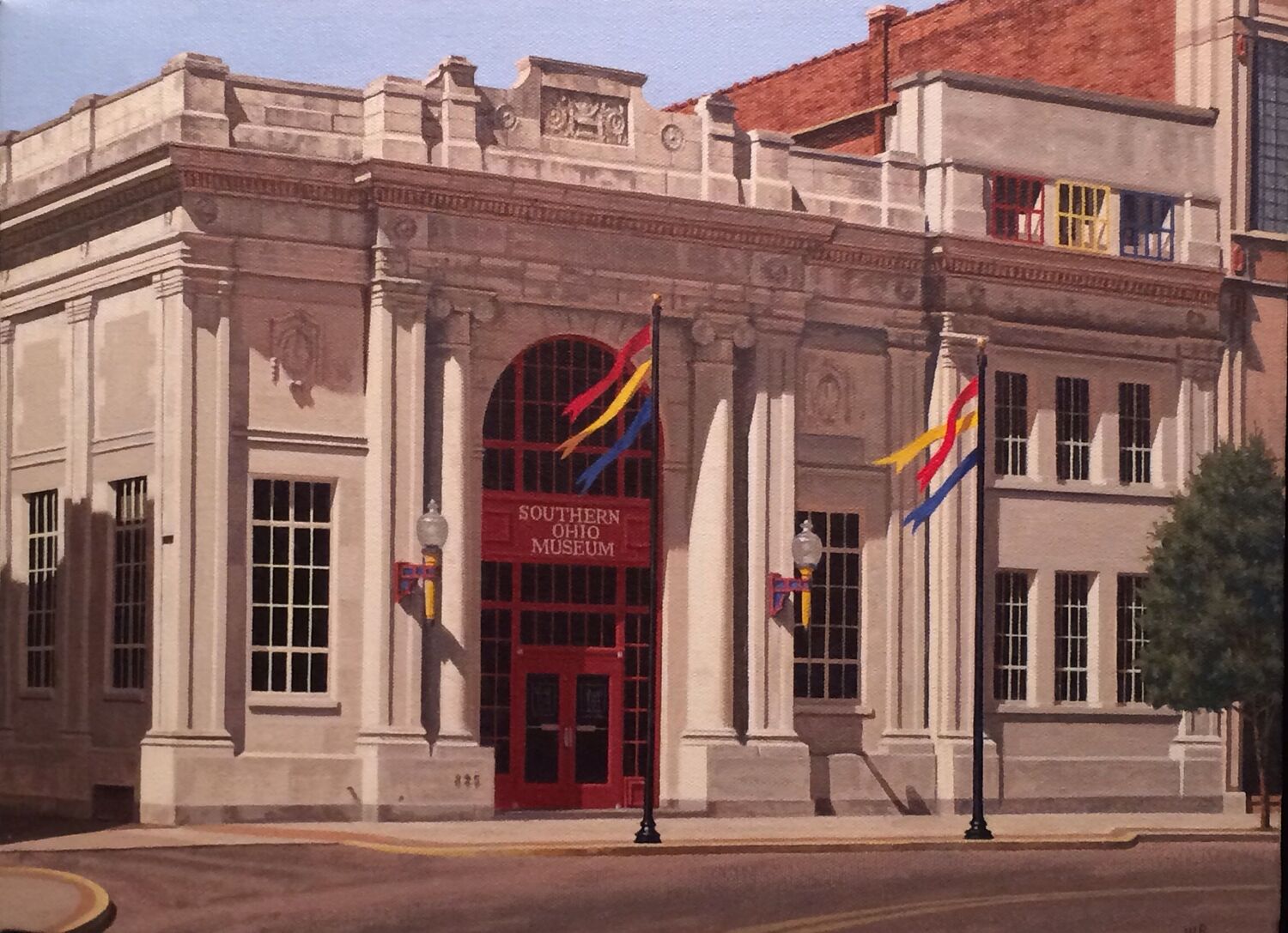
Southern Ohio Museum and Cultural Center, Gallia Street, Portsmouth, OH, USA
Distance: 3.61 Away
Galleries and Venues Museums and Interpretive Centers
View Listing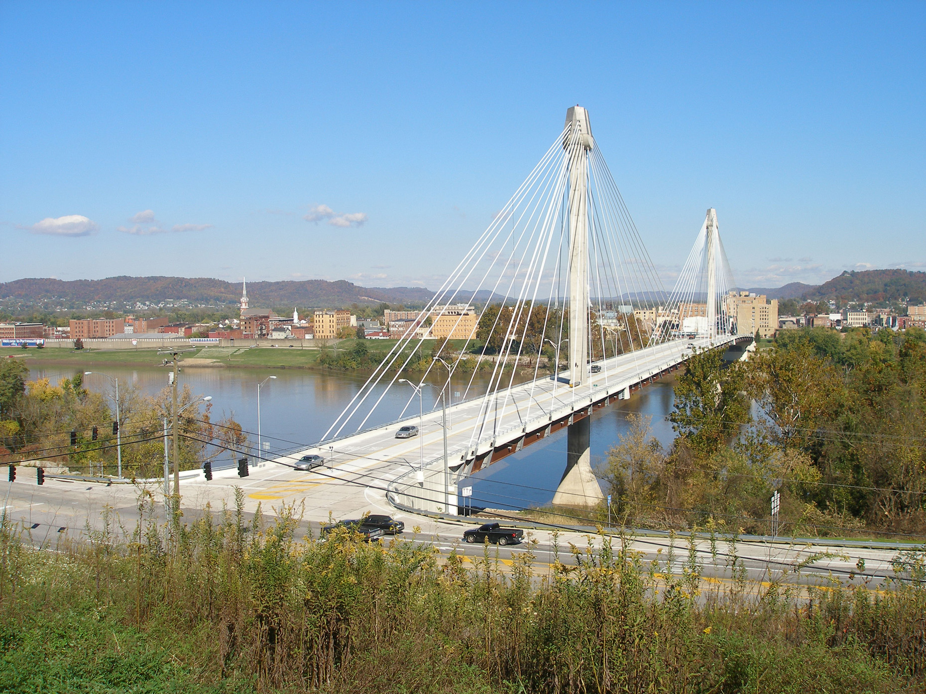
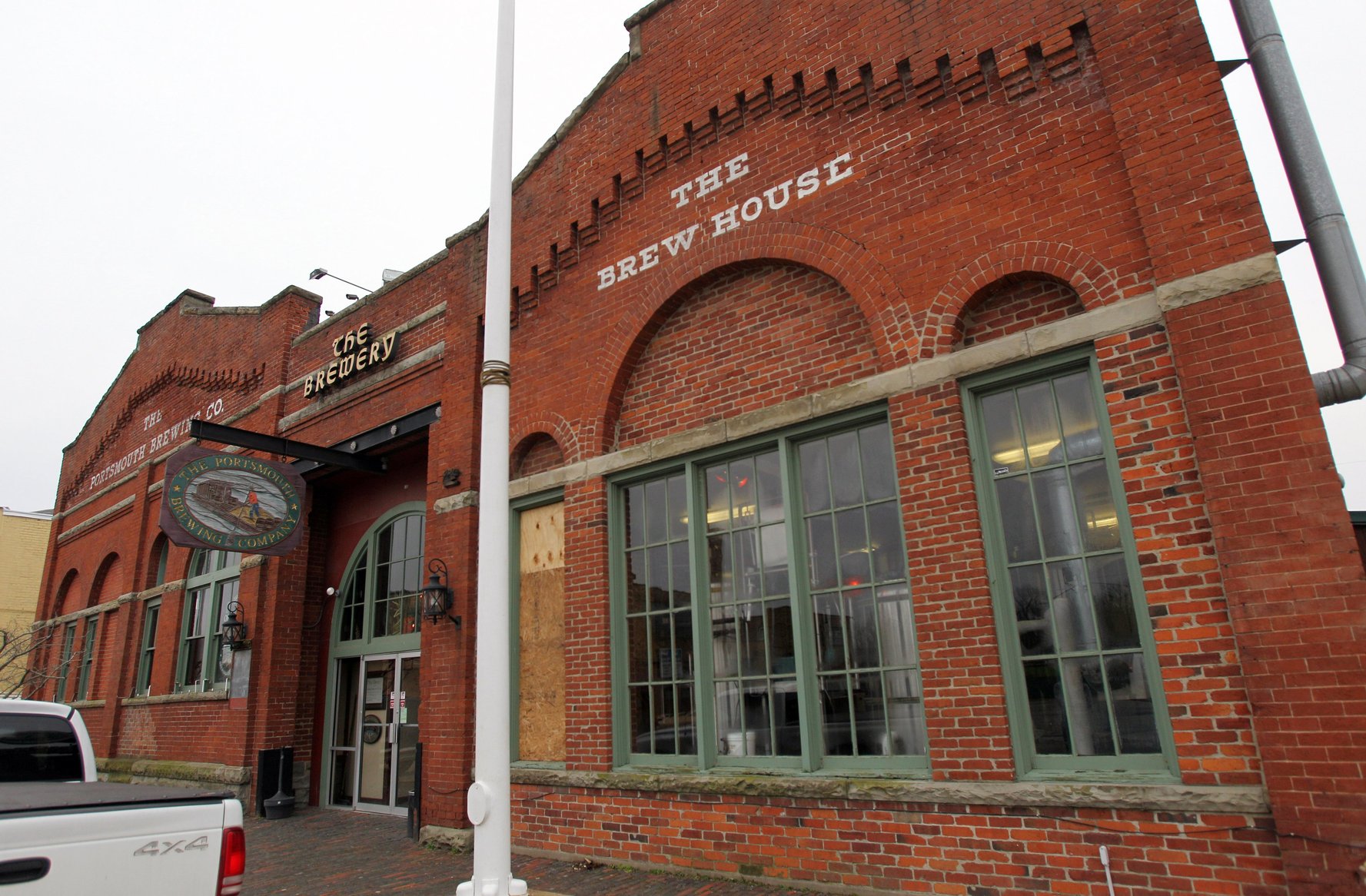
The Portsmouth Brewing Co., 2nd Street, Portsmouth, OH, USA
Distance: 4.32 Away
Food and Drinks Breweries and Distilleries
View Listing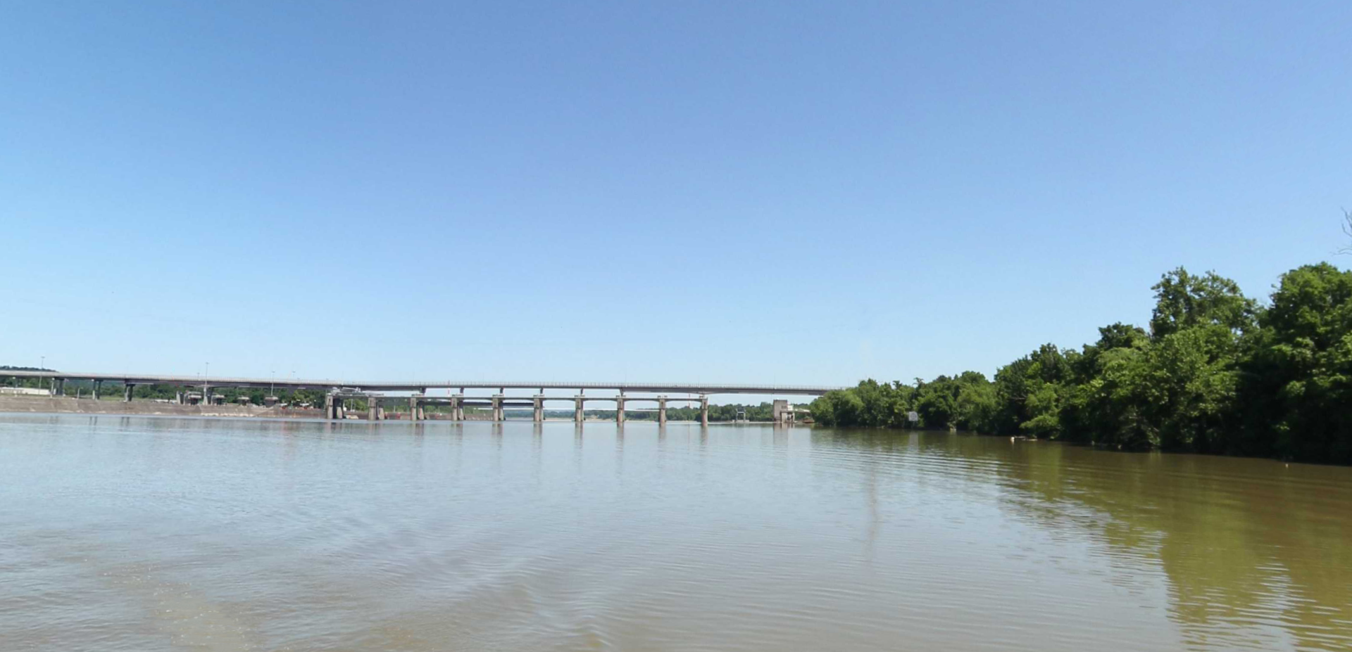

Shawnee Lodge & Conference Center, Ohio 125, West Portsmouth, OH, USA
Distance: 14.66 Away
H663+RF Franklin Furnace, OH, USA
Distance: 14.96 Away


Bombshells & Ales, Carter Avenue, Ashland, KY, USA
Distance: 24.01 Away
Bella Fonte Italian Restaurant, Carter Avenue, Ashland, KY, USA
Distance: 24.40 Away
