Page Feedback

Museum of Art and Archaeology

Museum of Art and Archaeology

Information

lat: 38.9444906 long: -92.3260117

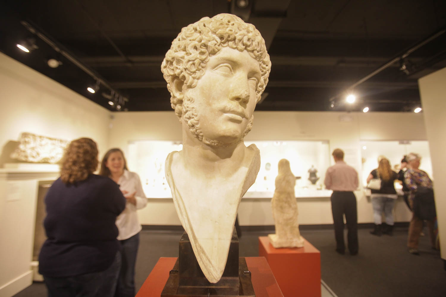
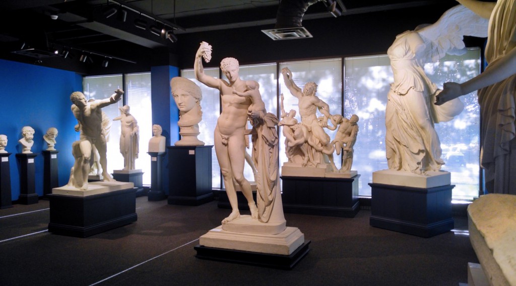
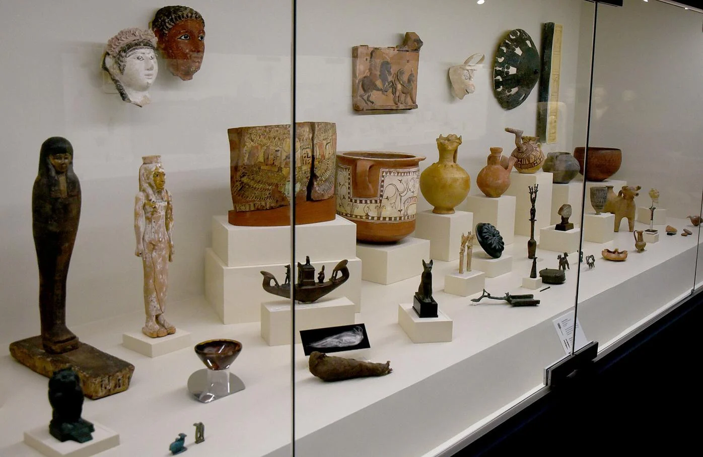
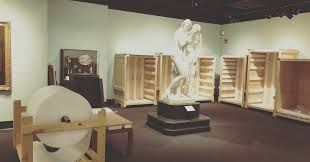
The University of Missouri’s Museum of Art and Archaeology features cultural artifacts, ancient works, and contemporary art.  After renovations, the Museum is scheduled to reopen in April 2024.  Upcoming temporary exhibits will highlight Rembrandt as a printmaker and showcase the Saul S. and Gladys D. Weinberg Gallery of Antiquities.  Objects in the collection include ancient coins, African statues, European paintings, Japanese printing blocks, and much more.  Past exhibits include Rarely Exhibited Greek Pottery and American Women Artists Since the Vote.  With over 16,000 objects spanning six continents and 6,000 years, the Museum of Art and Archaeology is an acclaimed showcase of ancient to modern human history, right in the heart of Missouri.

Nearby Attractions

Distance Unit:

Nearby Trails

Distance Unit:

Trail of Tears Memorial

Explore the Trail of Tears State Park to delve into a somber chapter in American history. Here, nine Cherokee Indian groups crossed the harsh winter Mississippi River in 1838-1839 during their forced relocation to Oklahoma.…

lat: 37.4439902 long: -89.468381
The Gateway Arch

lat: 38.6254157 long: -90.1881888
LaBenite Park to Miami

lat: 39.16744 long: -94.39343
Trail of Tears Nature Trail

 Here, nine Cherokee Indian groups braved harsh winter conditions while crossing the Mississippi River in 1838-1839, marking a sorrowful chapter in American history. The park also has: shaded picnic sites, hiking and horse trails, opportunities to fish…

lat: 37.4388916 long: -89.480974
Klondike Park River Access

lat: 38.5840552 long: -90.8200764
Red Star Access Site

lat: 37.3156208 long: -89.5126263
Jefferson Mounument

lat: 38.57877 long: -92.17348
Lewis and Clark Nature Trail

lat: 38.77314 long: -90.4821
Katy Trail Trailhead

lat: 38.9776 long: -92.56147
New Haven Public Access

lat: 38.61434 long: -91.21069
Chamoise to Klondike MO

lat: 38.70603 long: -91.73071
Trail of Tears to Cairo

The path taken by Chief John Ross on his way to Cairo. (https://www.hmdb.org/m.asp?m=161480)

lat: 37.45684 long: -89.46319
Send Feedback

Instagram Feed