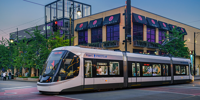
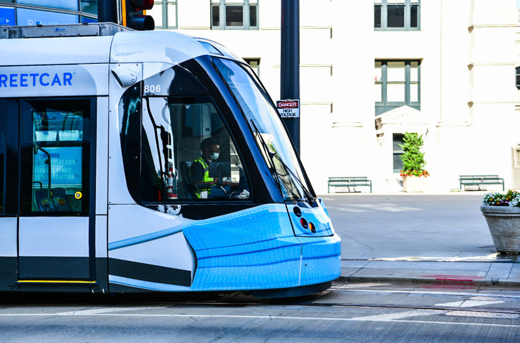
KC Streetcar
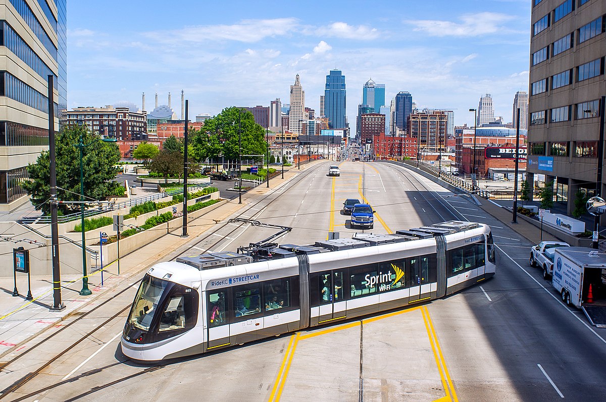
Looking for a fun and free activity where you can learn more about Kansas City? Try the Kansas City Streetcar! Covering just over two miles through Kansas City’s downtown, with sixteen stops in vibrant districts, the Streetcar is an ideal way to explore the city. Opened in May 2016, the streetcar has completed more than ten million rides. Streetcar stops will take you to local shops—from fresh produce to sports memorabilia—and to cultural experiences—from art galleries to concert venues. The Jackson County Historical Society provides free audio tours that can be listened to while traveling through the city, allowing visitors to learn more about the historic downtown.
Distance Unit:
Distance Unit:


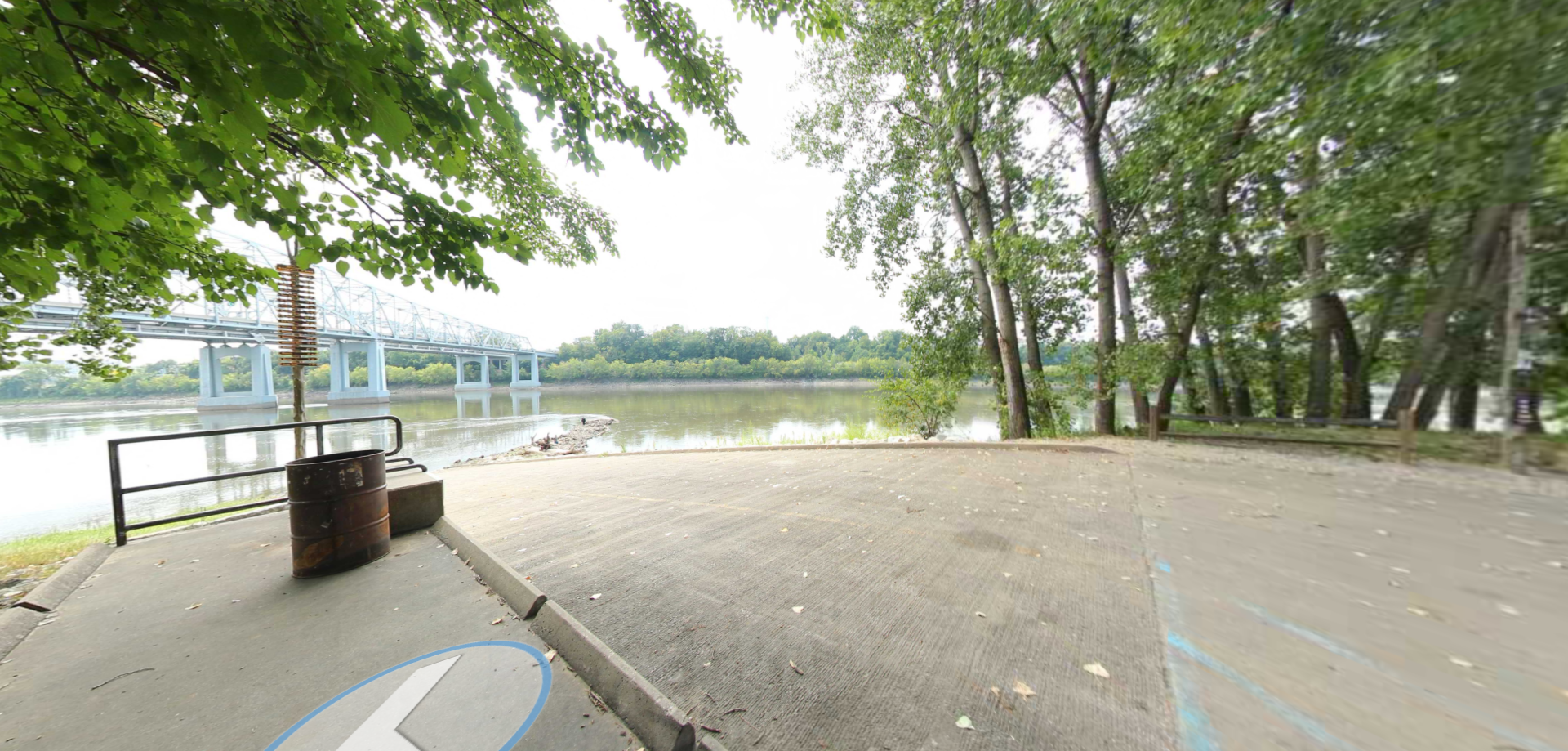
A boat ramp to the beautiful Missouri River with a peaceful view of the river.


Here, nine Cherokee Indian groups braved harsh winter conditions while crossing the Mississippi River in 1838-1839, marking a sorrowful chapter in American history. The park also has: shaded picnic sites, hiking and horse trails, opportunities to fish…


The path taken by Chief John Ross on his way to Cairo. (https://www.hmdb.org/m.asp?m=161480)


