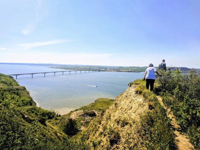
Crow Flies High State Recreation Area
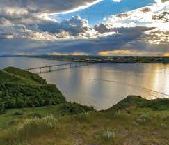
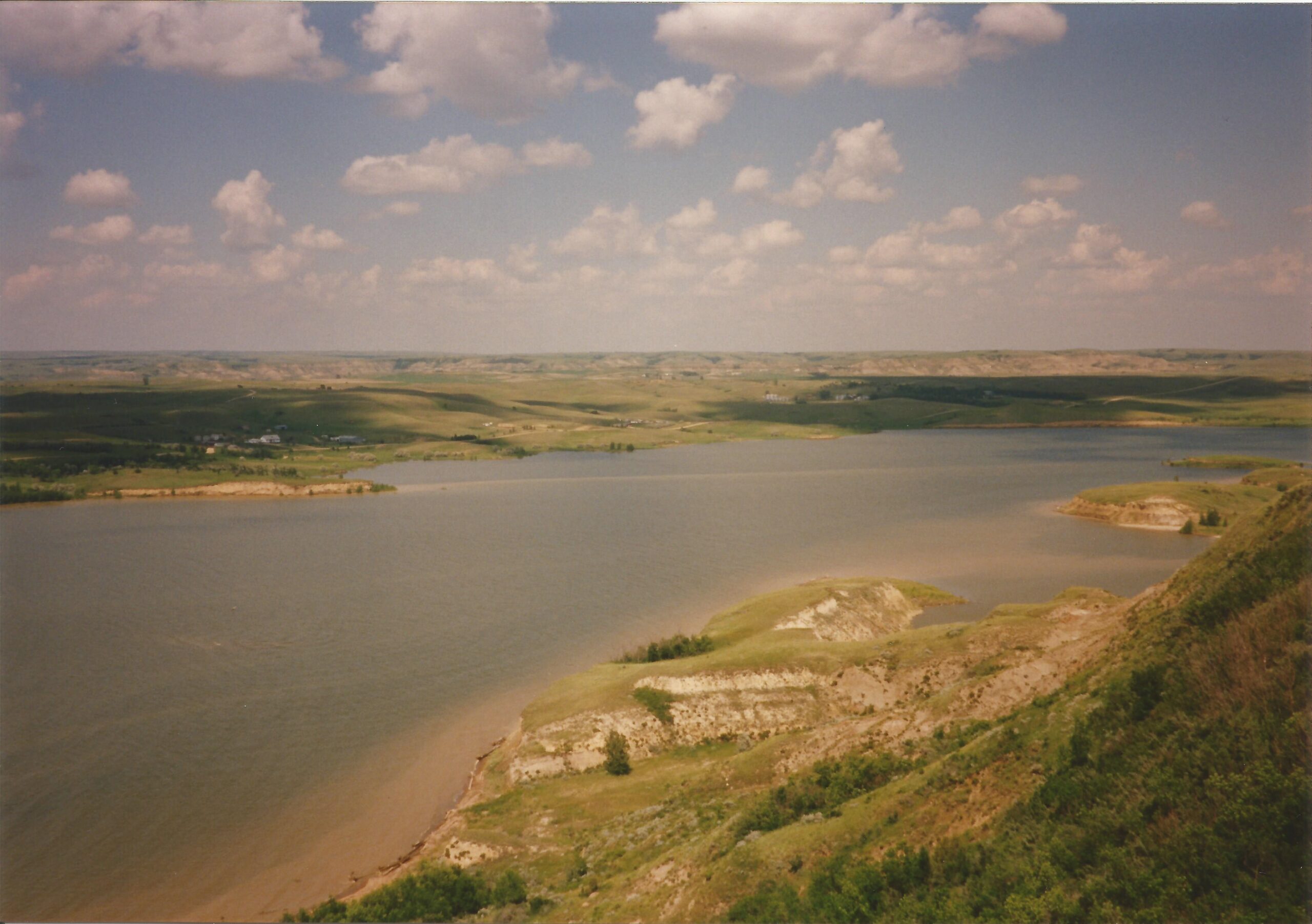
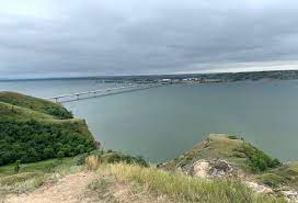
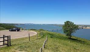
This site, conveniently near the highway, features spectacularly scenic views of Lake Sakakawea and Four Bears Bridge. At times of low water, the sunken town of Sanish, covered by the lake since Garrison Dam’s completion in 1953, can be seen. There are interpretive signs about local history to learn more about the region. Crowhigh Butte, located within this former National Monument, was a common navigation point for explorers during the Western Expansion. This site was used as a lookout by William Clark when waiting to reunite with Meriwether Lewis. The park is named after the Hidatsa chief Crow Flies High.
Distance Unit:
Distance Unit:
