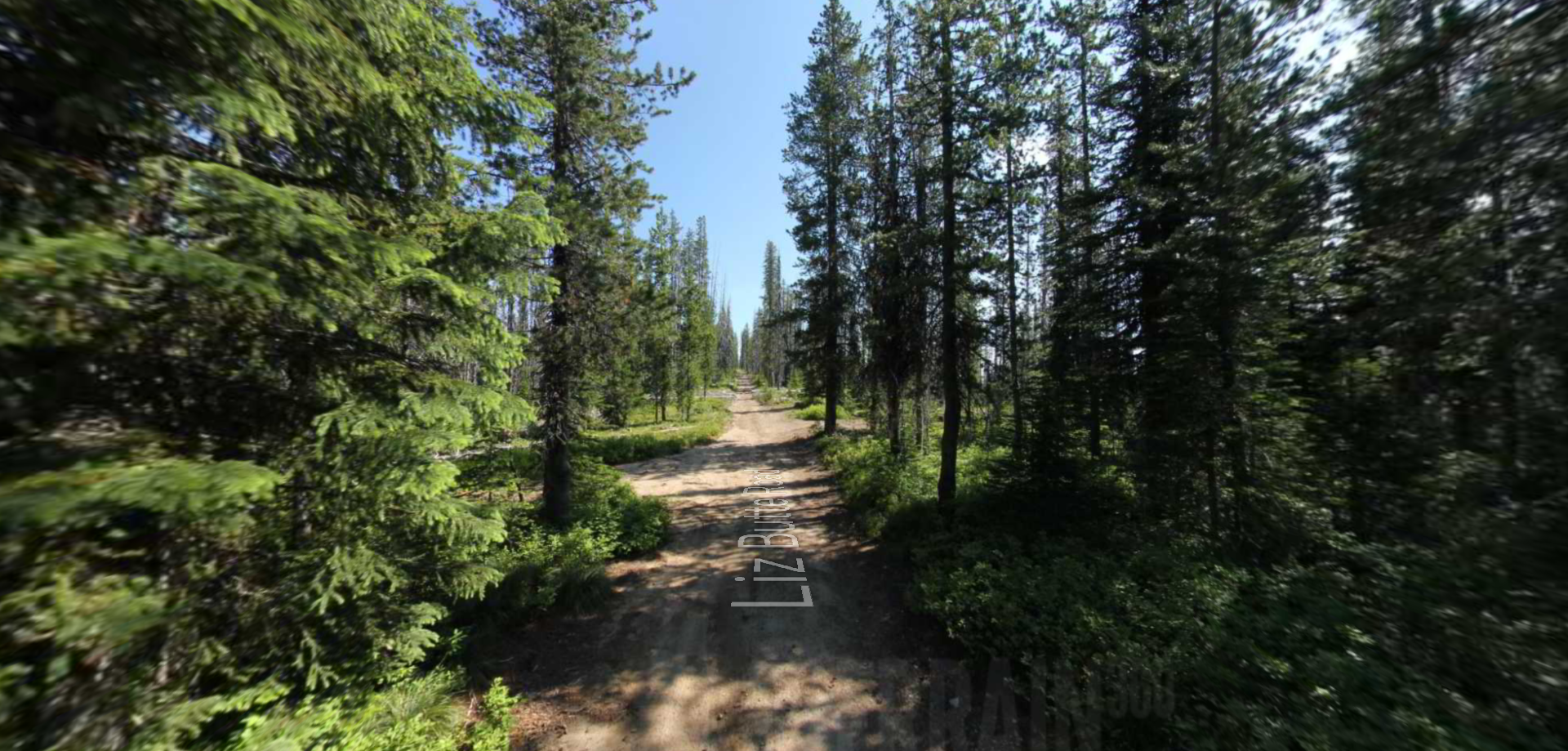
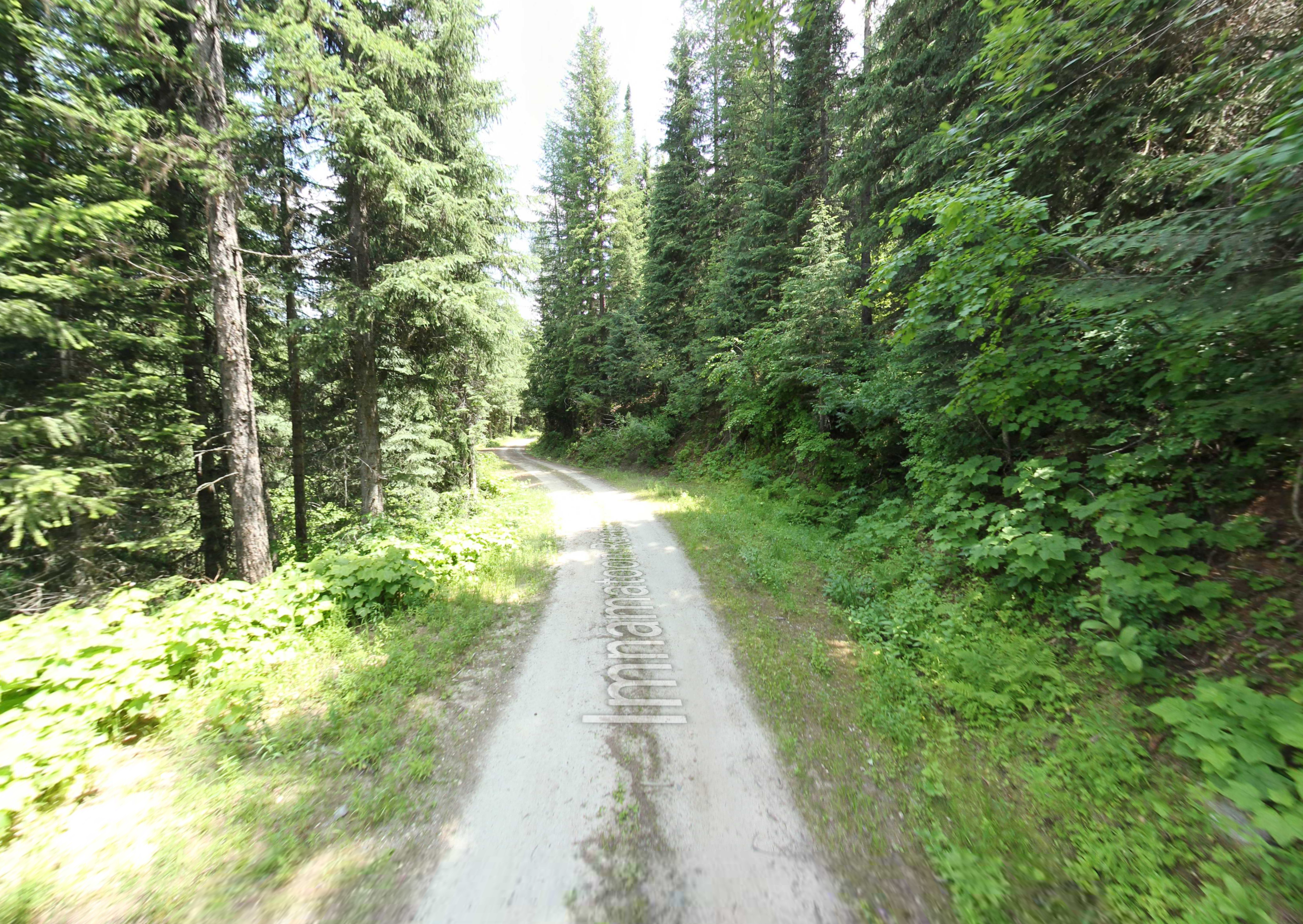
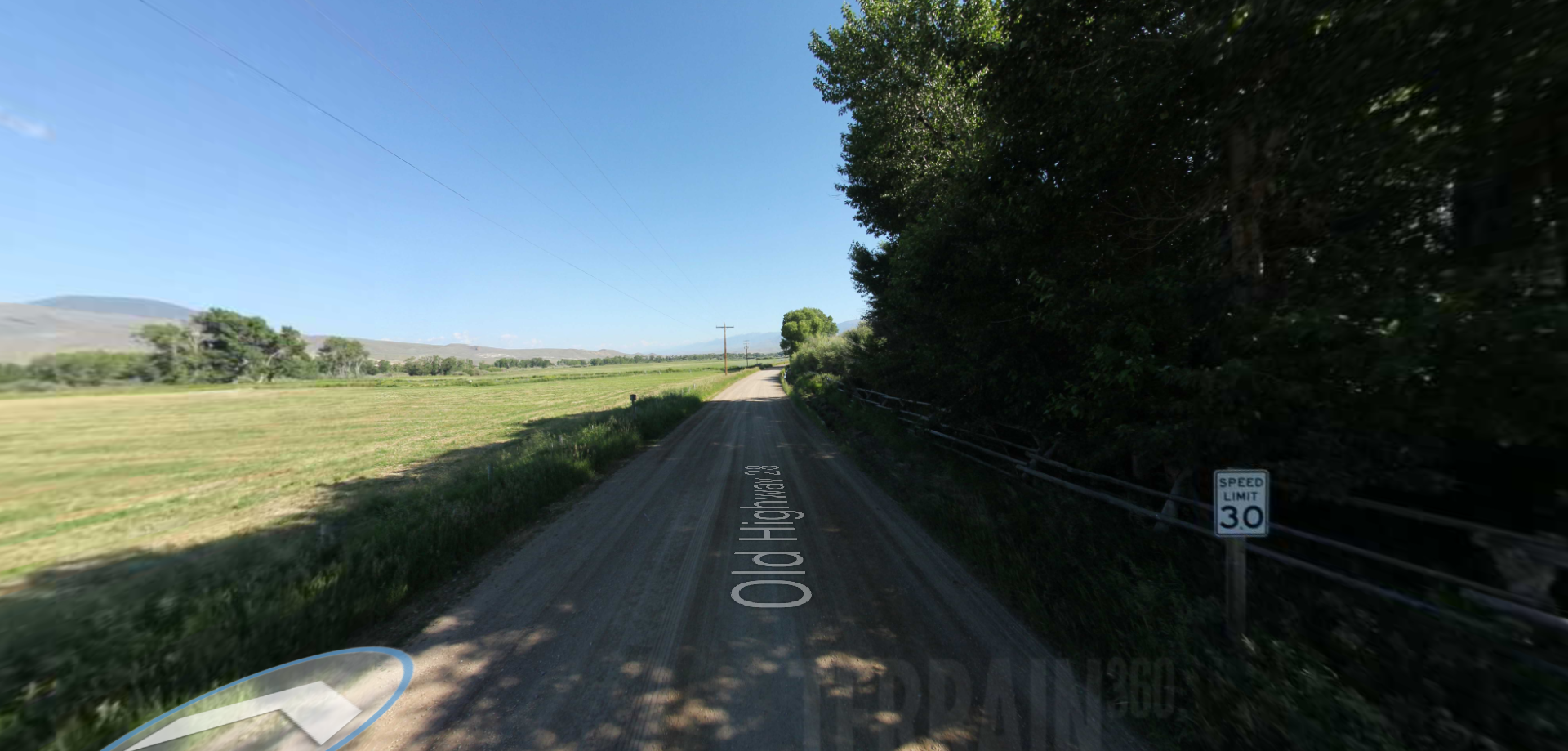
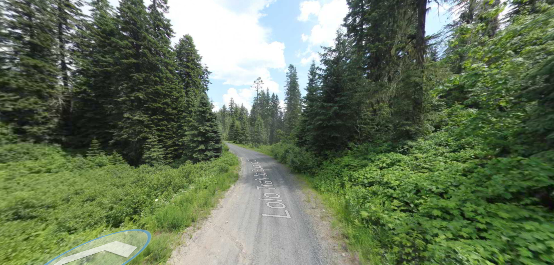
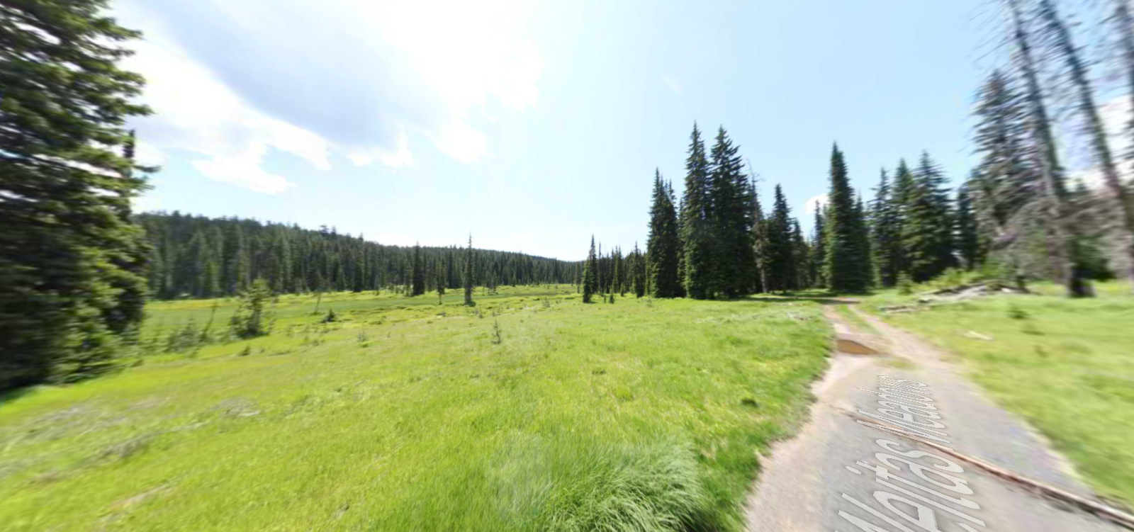
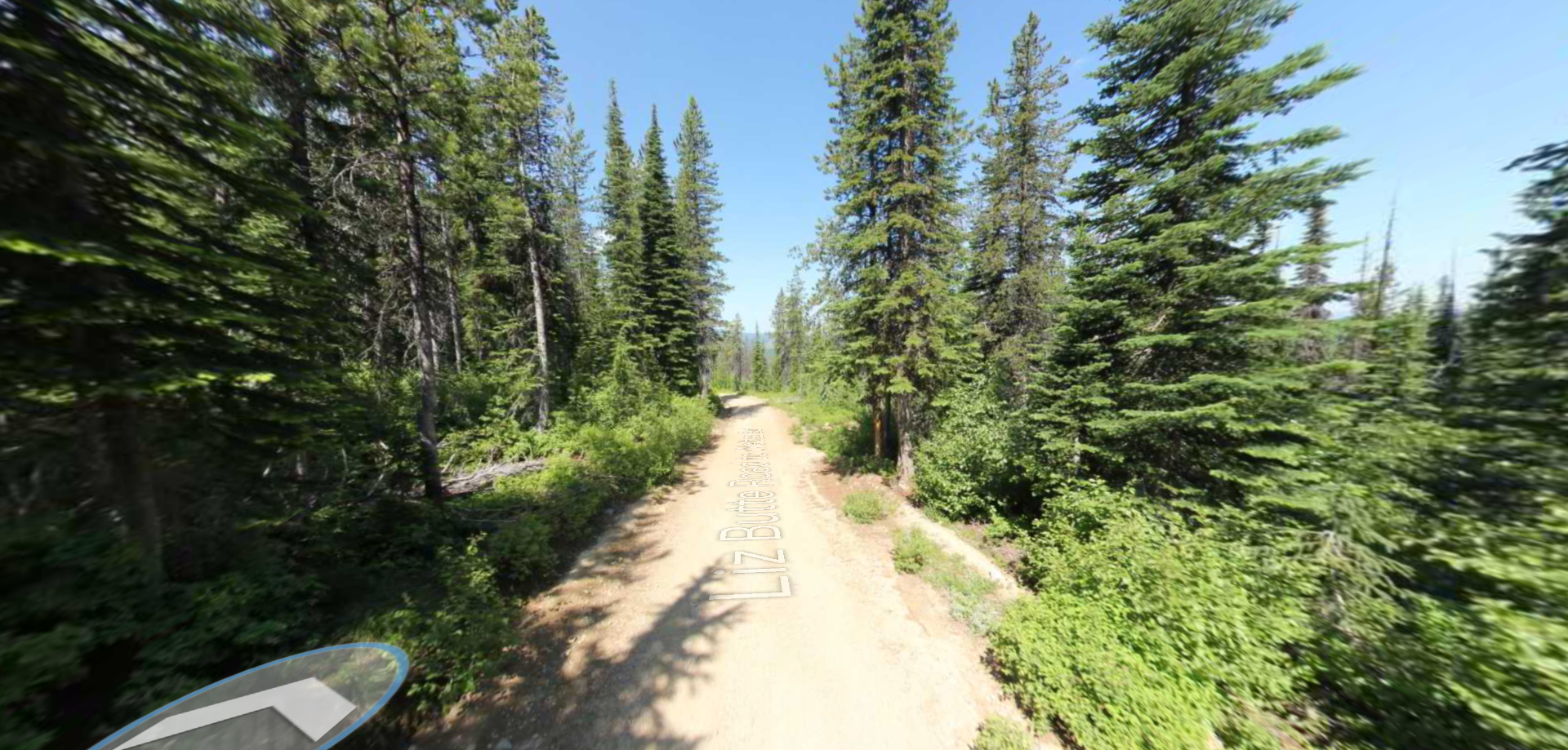
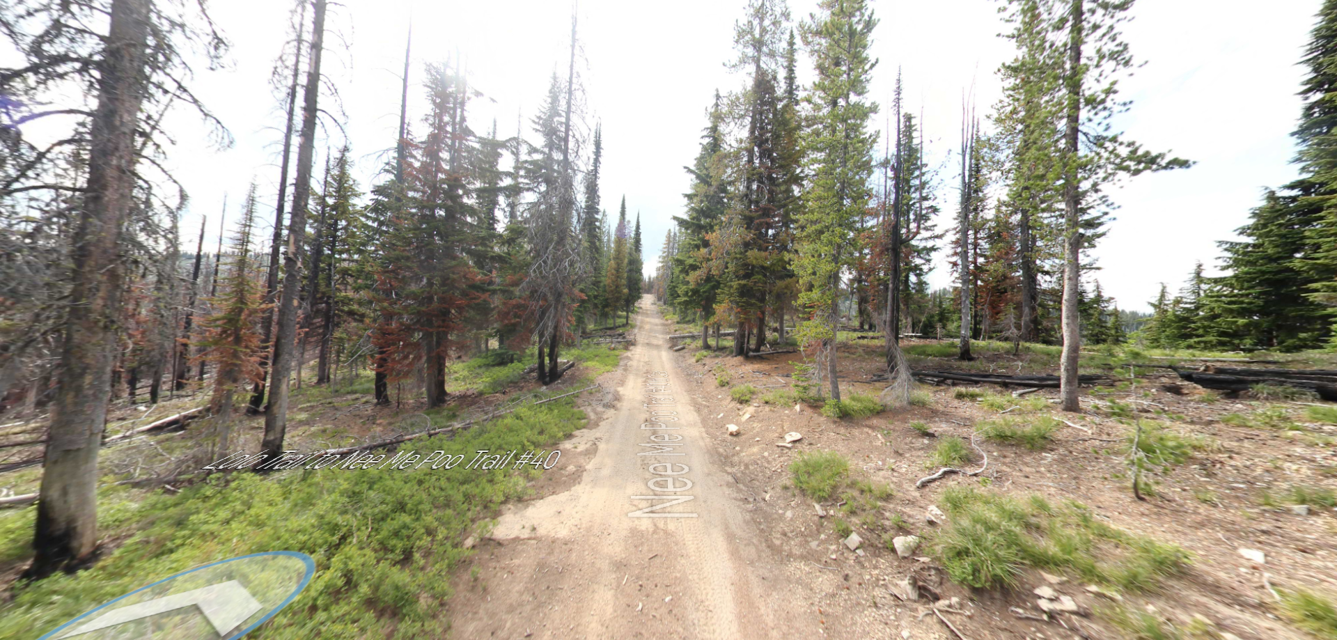
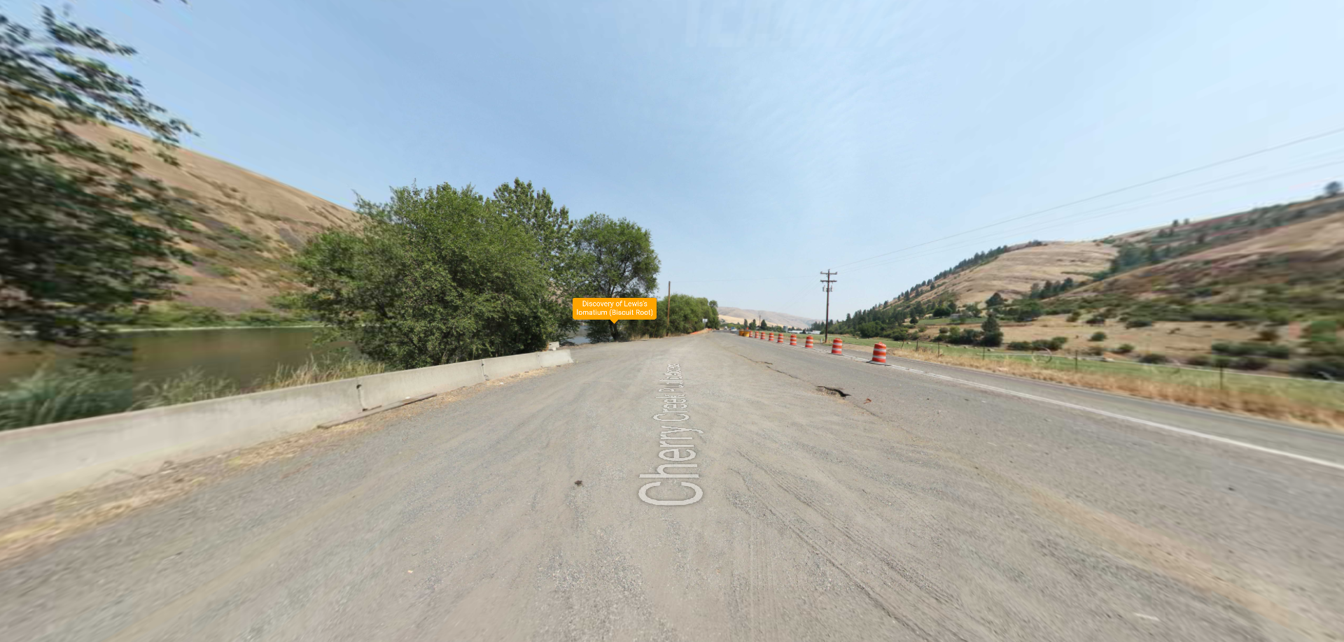
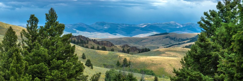
Lemhi Pass
High Potential Historic Site
Museum, Theatre, or Interpretive Center
History
Outdoor Adventure
National Park
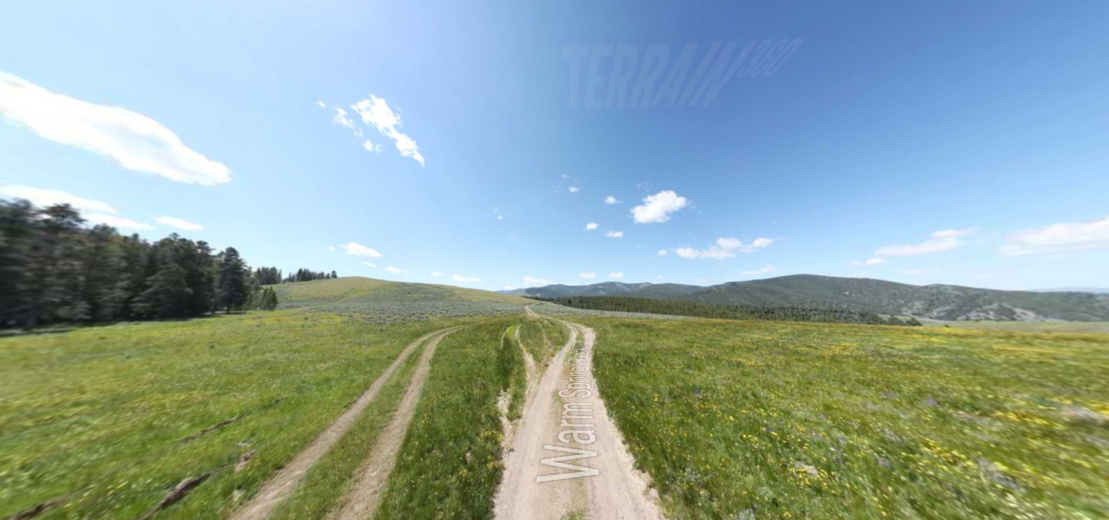
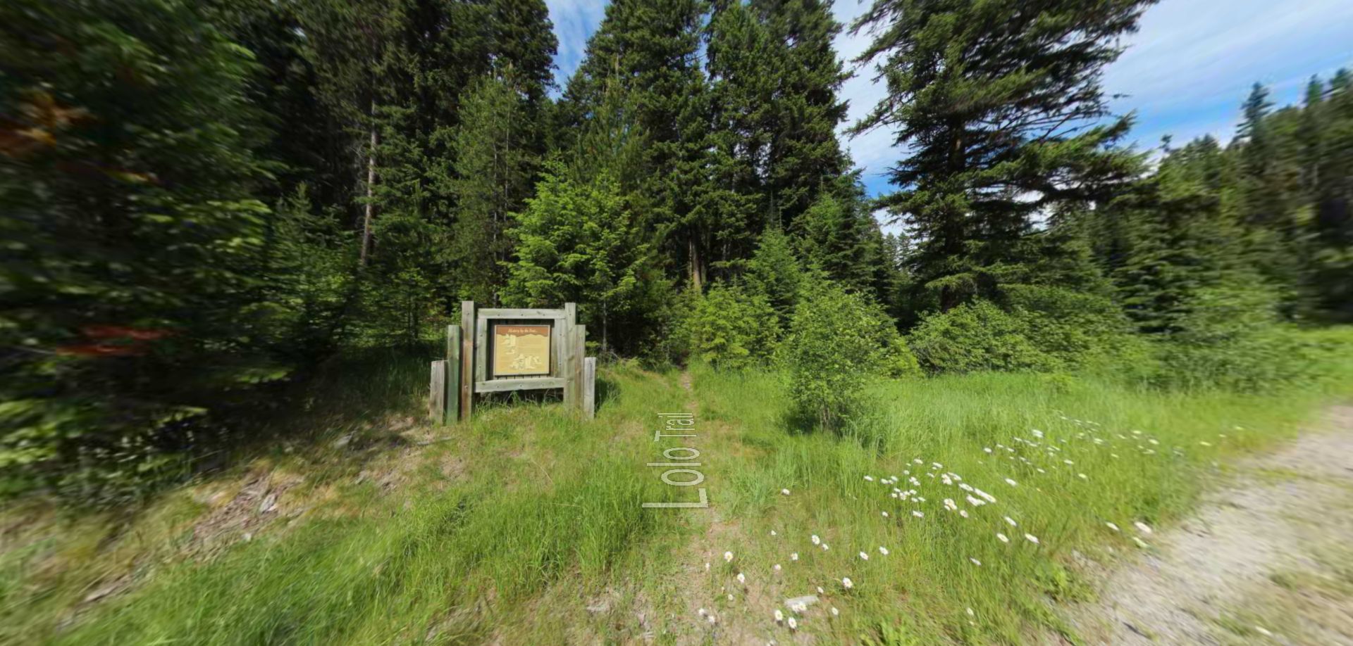
Trail
Lewis and Clark Highway
Tendoy
Idaho
83468