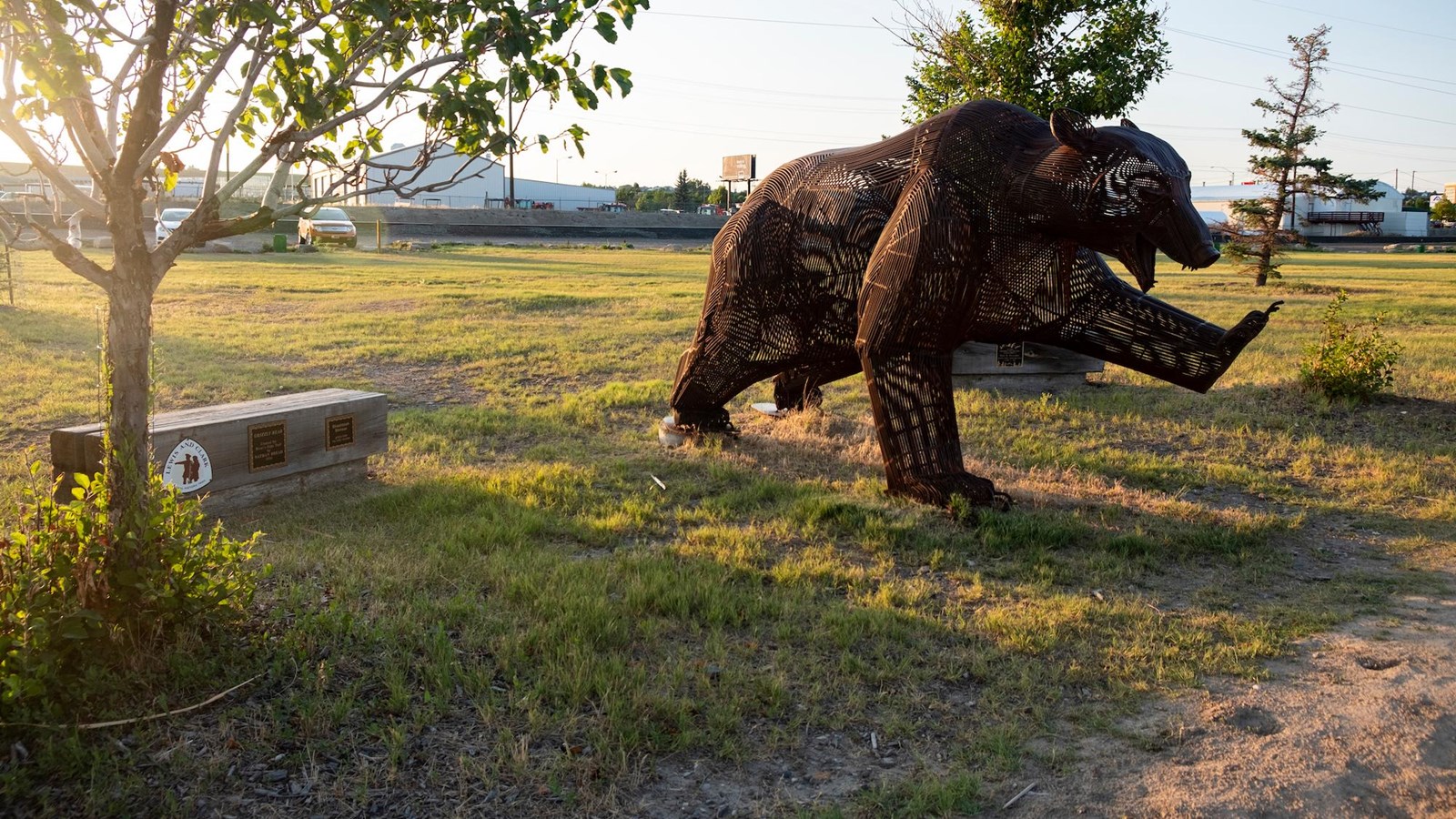
Giant Springs State Park
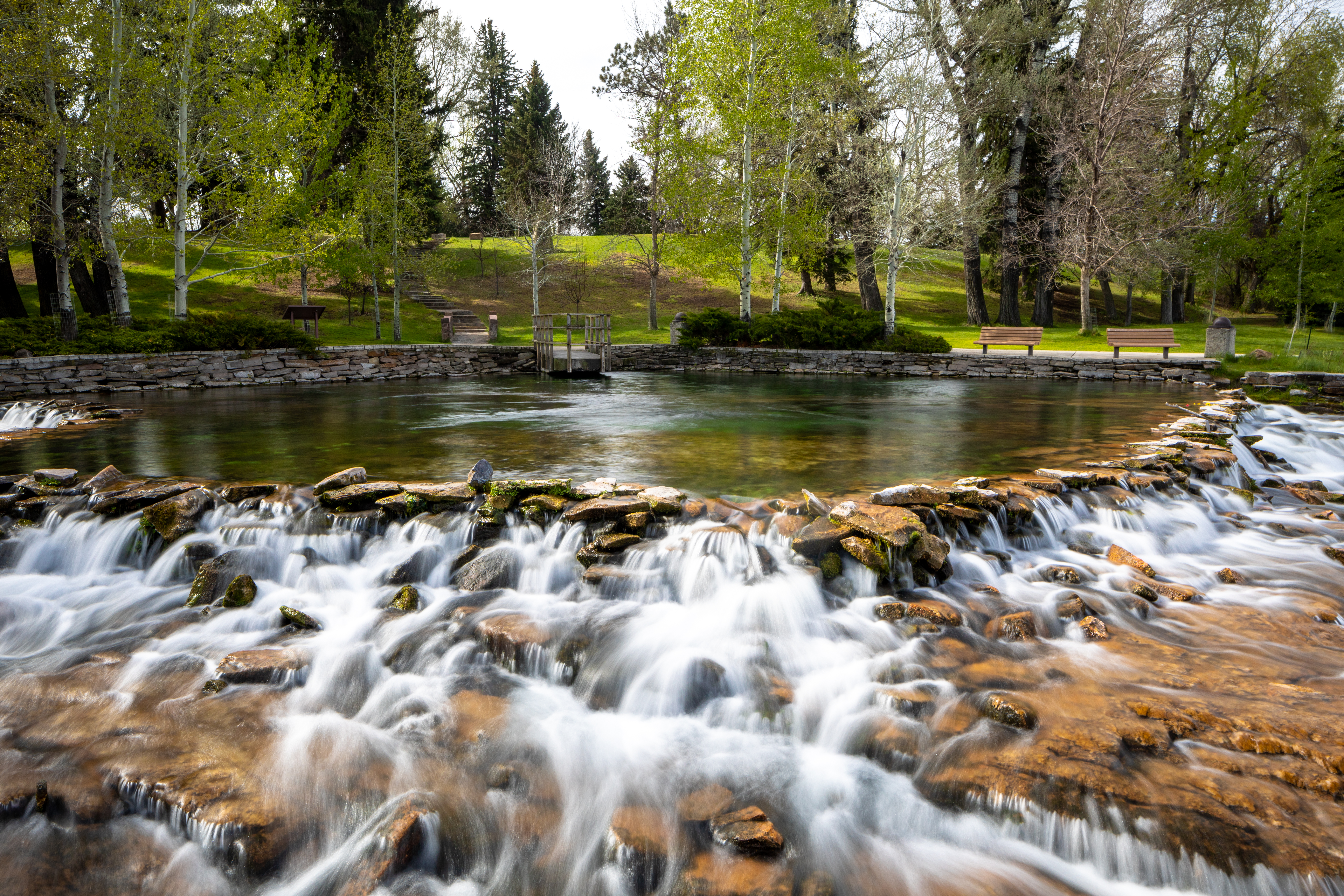
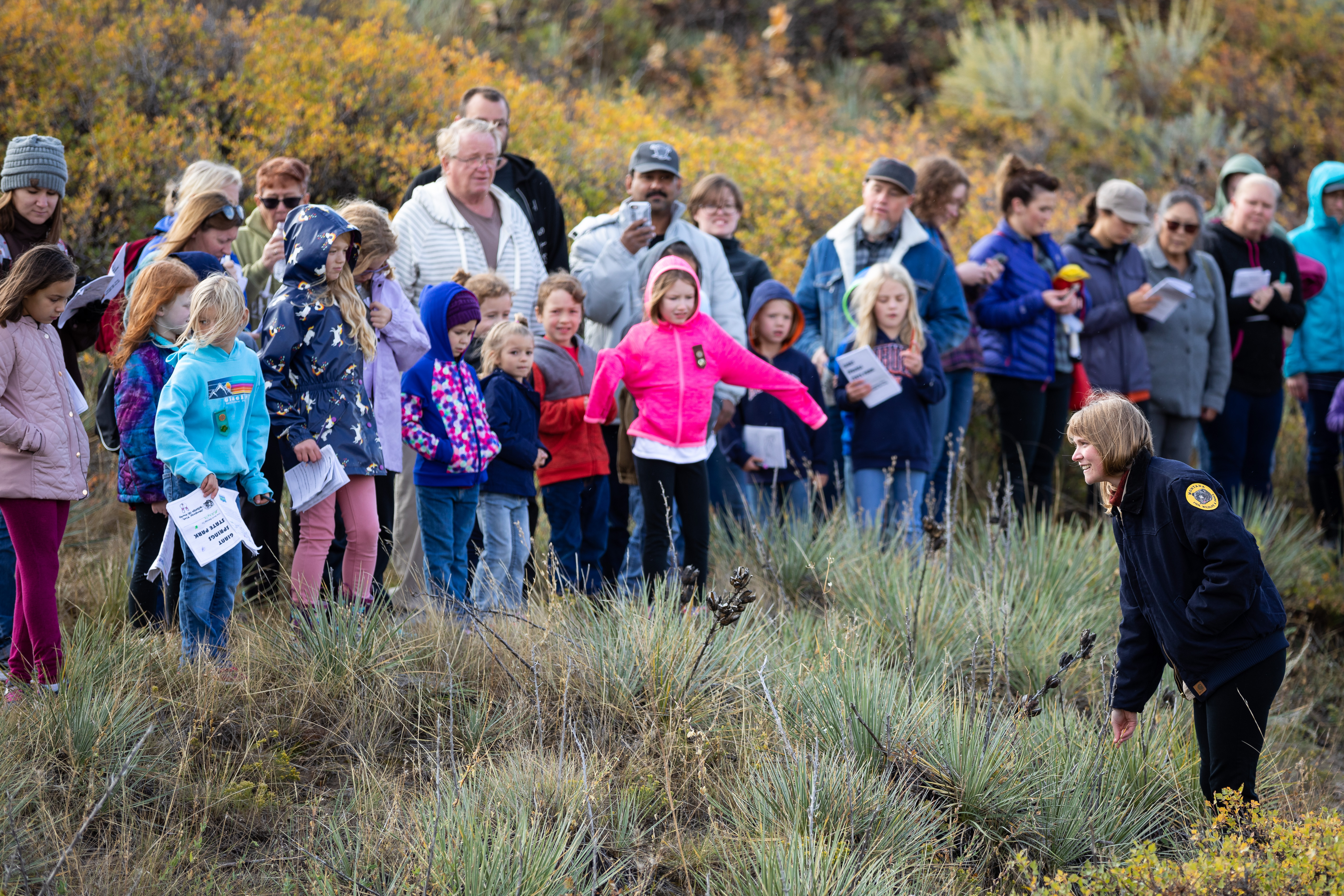
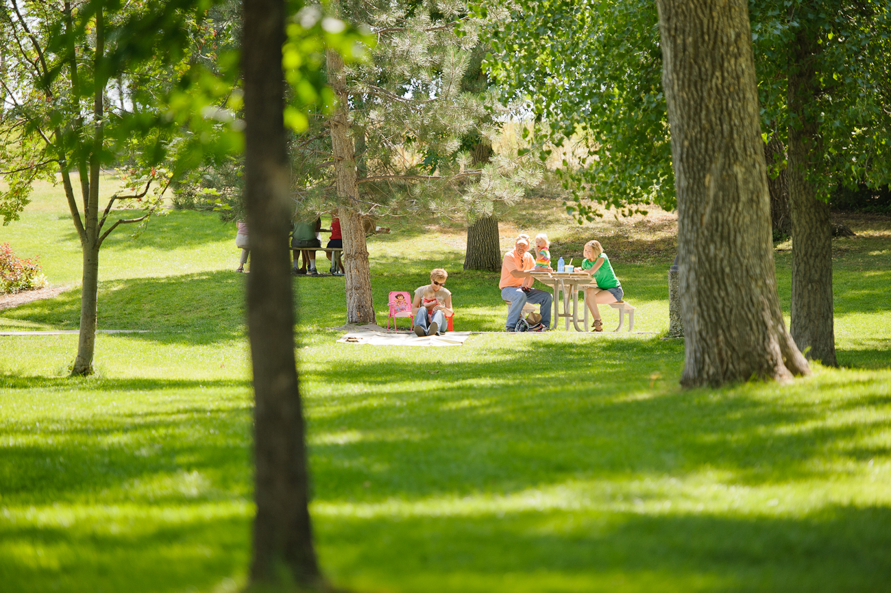
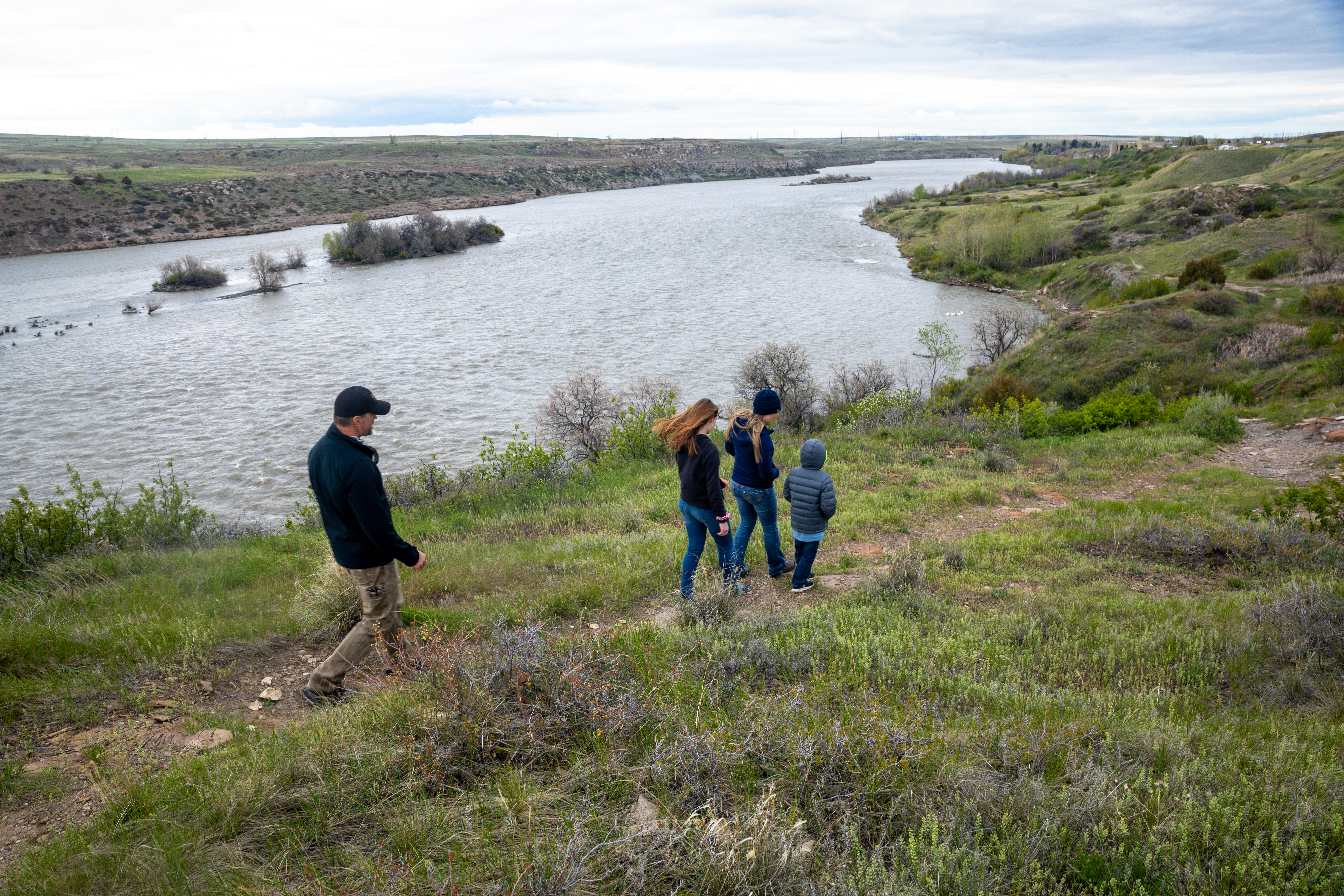
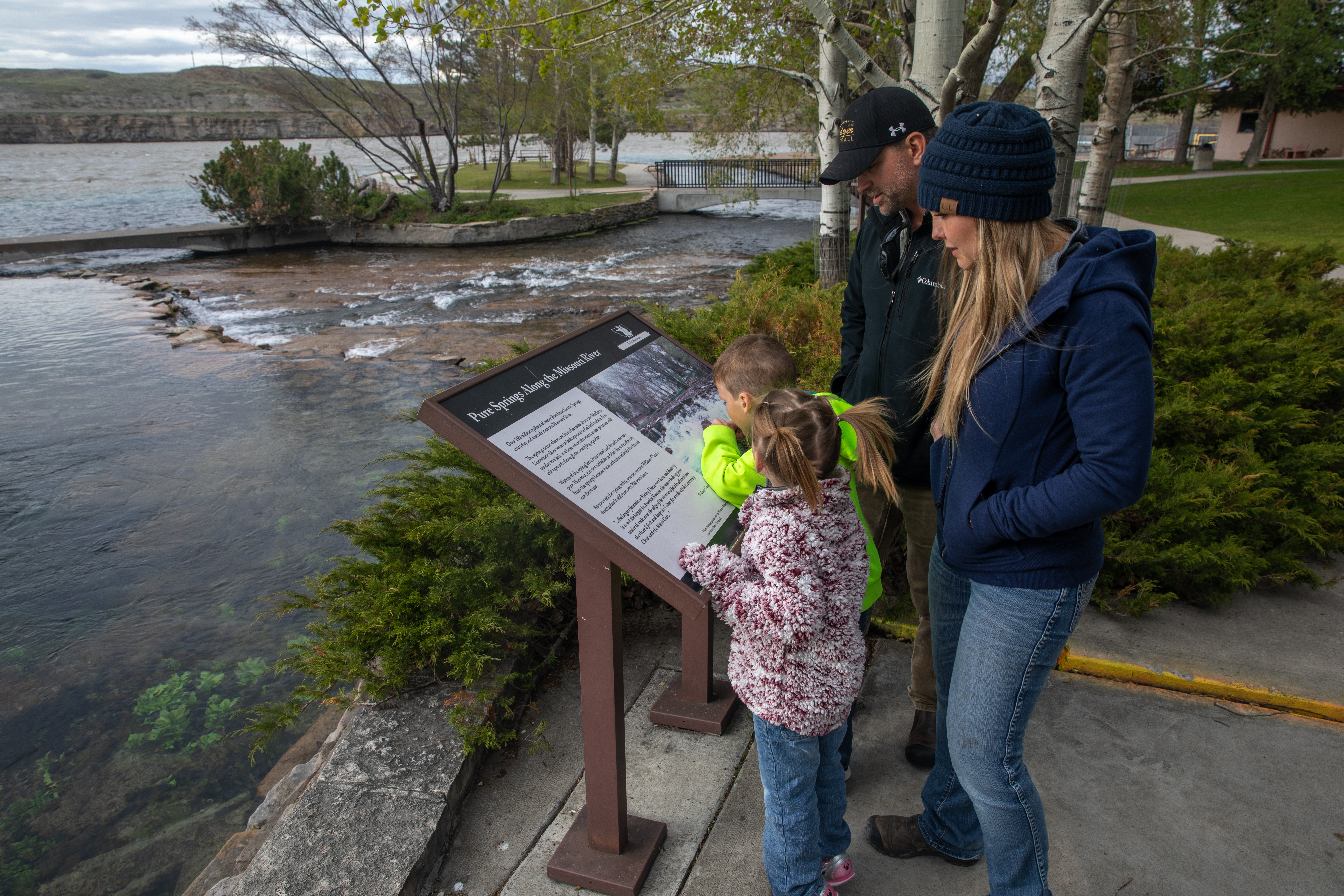
Come marvel at this day-use park’s remarkable features and view the variety of birdlife. Take part in our special events, picnic by the Missouri River, visit the fish hatchery and visitor center, walk along the Rivers Edge Trail, view the nearby Rainbow Falls overlook, or visit the neighboring Lewis and Clark Interpretive Center operated by the U.S. Forest Service.
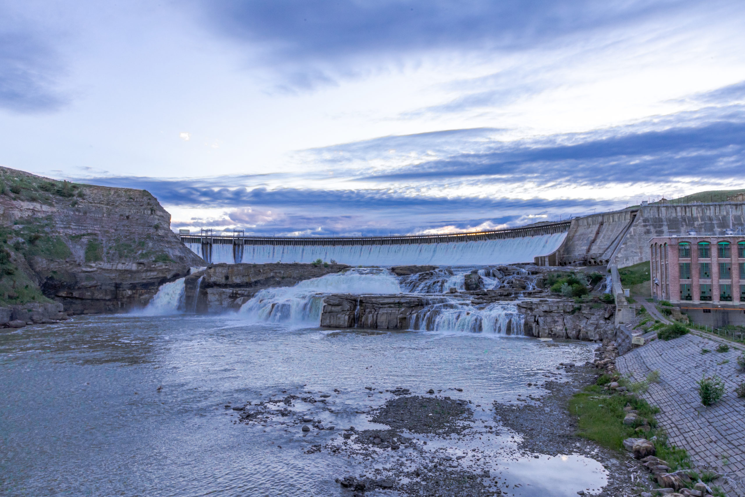
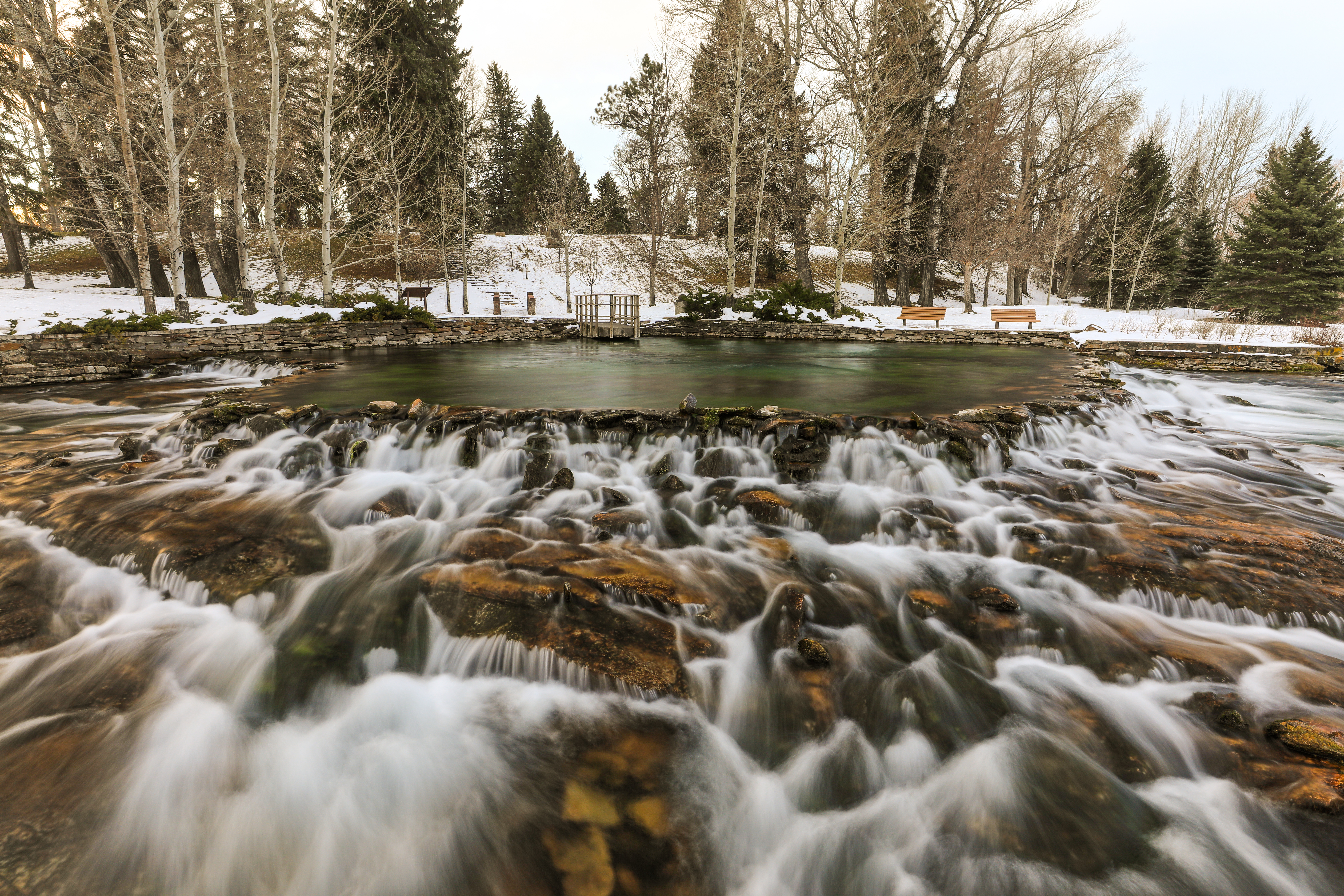
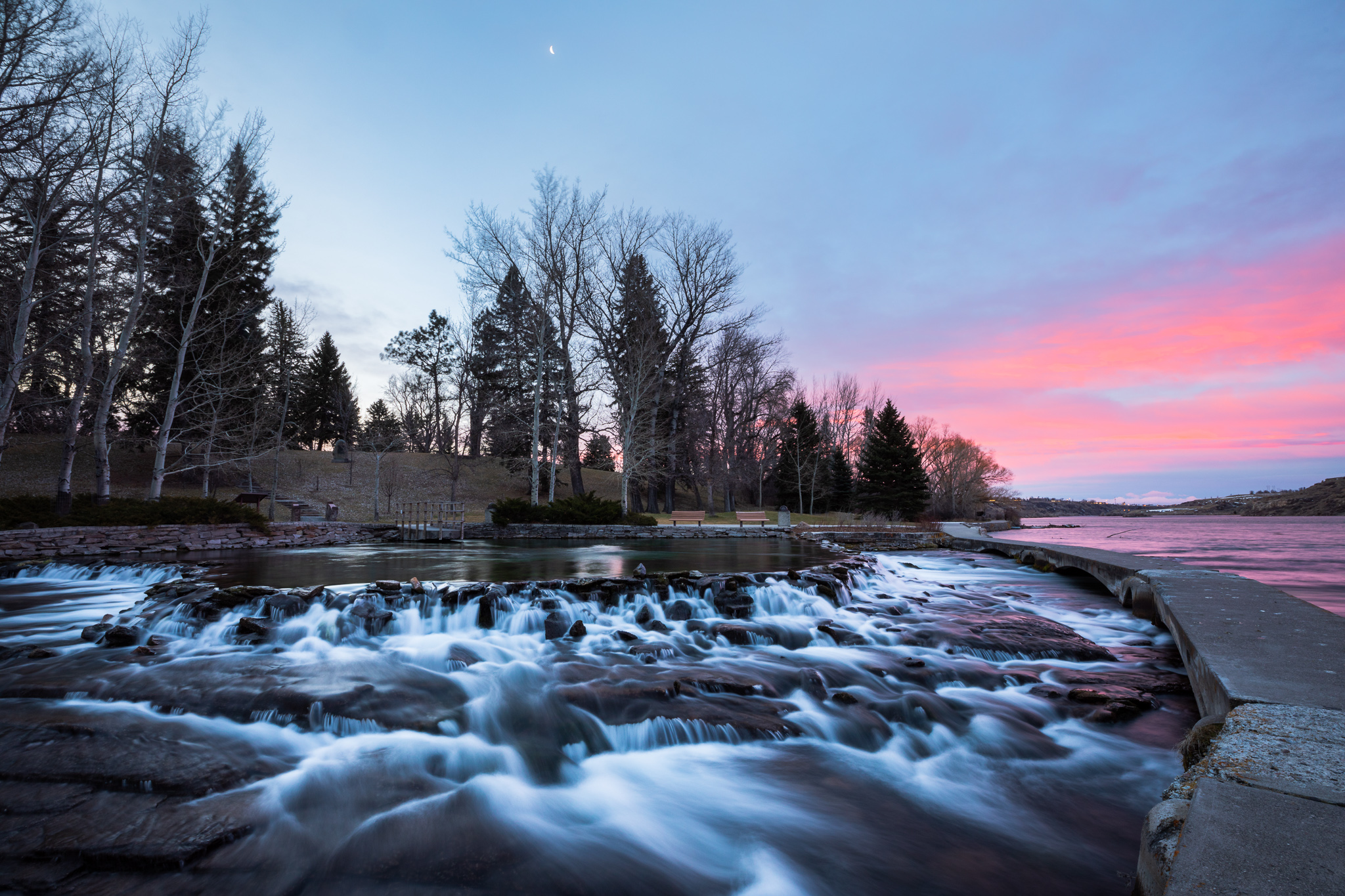
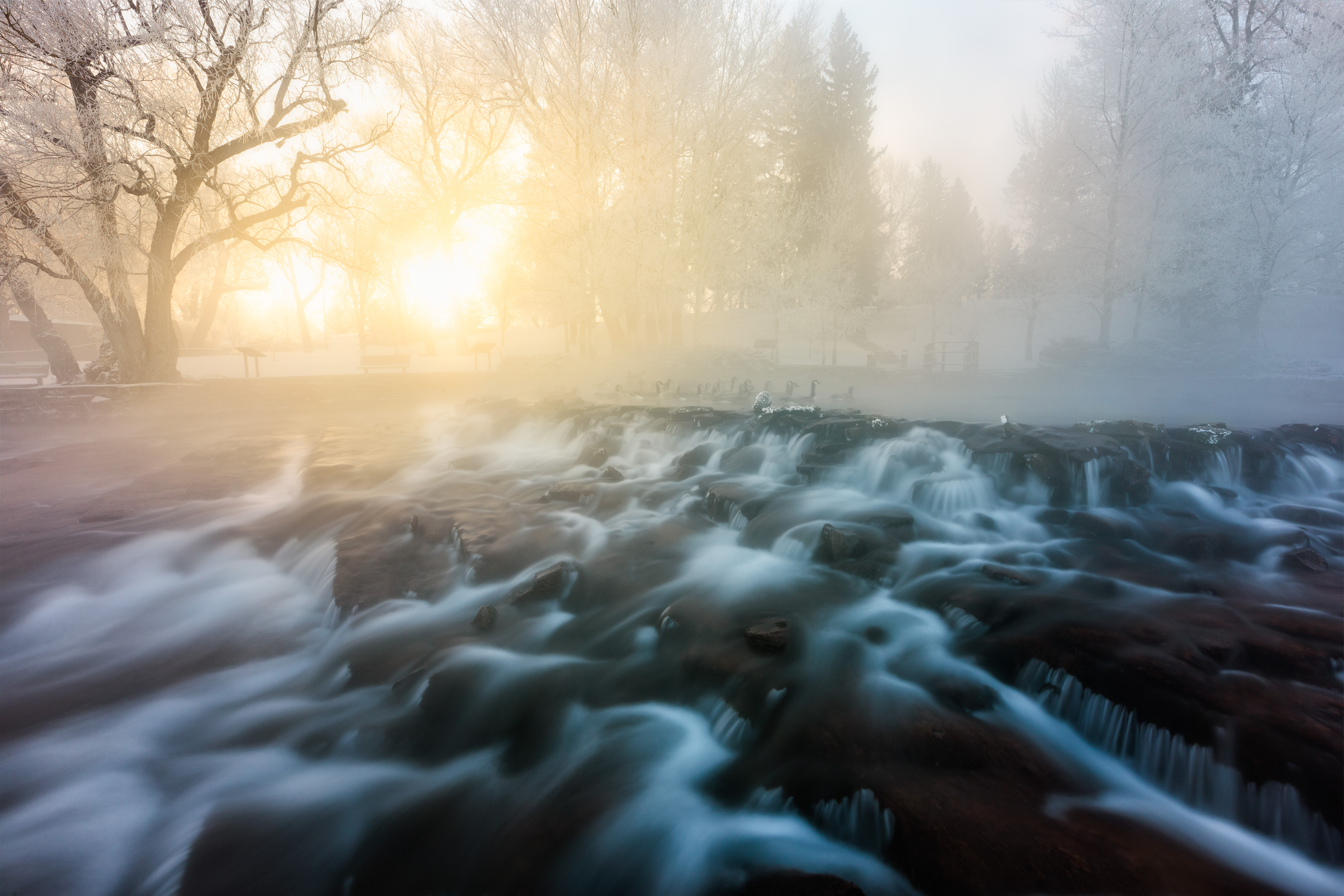
Giant Springs was discovered by the Lewis and Clark Expedition in 1805 and is one of the largest freshwater springs in the country. The springs flow at a rate of 156 million gallons of water per day and the water stays at a temperature of 54 degrees. This is also the site of the Roe River, once listed in the Guinness Book of World Records as the world’s shortest river. Giant Springs State Park contains over 30 miles of paved and dirt single-track trails in settings that vary from developed to very primitive.
Giant Springs State Park is a day-use only site and no camping is available.
Distance Unit:
Distance Unit: