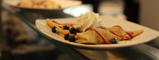
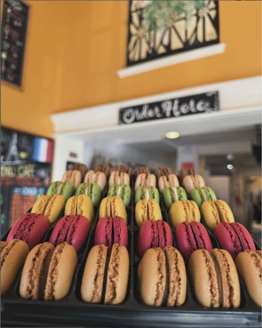
Chez Elle Crêperie and Coffeehouse
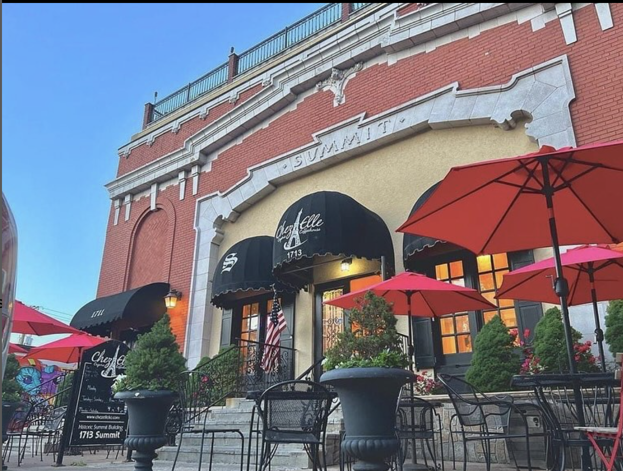
Located inside a converted neighborhood theater, Chez Elle Crêperie and Coffeehouse serves fresh crepes and robust coffees. From savory crepes like the Tour Eiffel (smoked salmon, capers, caramelized onion) to sweet crepes such as the Patriote (strawberries, blueberries, bananas), Chez Elle creates innovative dishes with the freshest ingredients. While Chez Elle is best known for its crepes, it also offers quiche, salad, and soup. There are also homemade pastries including French Macarons and pound cake. A trip to Chez Elle wouldn’t be complete without sampling one of their acclaimed drinks, such as a carefully crafted smoothie or a coffee from their expansive menu. Chez Elle also hosts seasonal events including Bastille Day and Dia de los Muertos. Vegan and gluten free options are available.


Distance Unit:
Distance Unit:


The path taken by Chief John Ross on his way to Cairo. (https://www.hmdb.org/m.asp?m=161480)

Explore the Trail of Tears State Park to delve into a somber chapter in American history. Here, nine Cherokee Indian groups crossed the harsh winter Mississippi River in 1838-1839 during their forced relocation to Oklahoma.…


A boat ramp to the beautiful Missouri River with a peaceful view of the river.


Here, nine Cherokee Indian groups braved harsh winter conditions while crossing the Mississippi River in 1838-1839, marking a sorrowful chapter in American history. The park also has: shaded picnic sites, hiking and horse trails, opportunities to fish…


A boat ramp that allows visitors to access the Trail of Tears
