Blackfeet Campgrounds
Scattered along the edge of Glacier National Park, you can stay at some of the most picturesque campgrounds in Blackfeet Country. Four campgrounds service the various needs of any camper. Each features traditional primitive campsites, electrical sites and plenty of exploring in the surrounding natural areas. Rent a tipi at any of the sites for a cultural experience. An annual cultural demonstration and Veteran’s Powwow is held each year on the 4th of July at their largest campground, Chewing Black Bones. There you can also find their main visitor center and a deli-store for delicious eats. Be sure to check out of your house, and into the Montana Rockies on your next trip.
Chewing Black Bones Campground:
The only campsite on the shores of beautiful St. Mar Vs Lake features a variety of hiking trails, watercraft and fishing activities, as well as cultural demonstrations near their main visitor center. Kayaks are available at this campground for rental.
Red Eagle Campground:
Located right next to the Two Medicine Entrance Station of Glacier National Park, this site gives visitors the options of traditional camping experiences as well as the option to book a traditional lodge. Visitors to the campground can find themselves fishing, hiking, or swimming and kayaking.
Duck Lake Campground:
Near Browning, Montana, RV campers can find a great full hook-up site at this campground alongside a vibrant local community. After you’ve settled into the campground, be sure to stop by at the nearby Museum of the Plains Indian for an educational experience on indigenous culture in the Great Plains region.
Buffalo Calf Campground:
If you are looking for information on your travel route, this campground features Blackfeet traditional campsites, RV sites, and a visitor center with easy highway access. This site is also close to the nearby East Glacier Park Village, with plenty of great dining options.
Distance Unit:
Distance Unit:

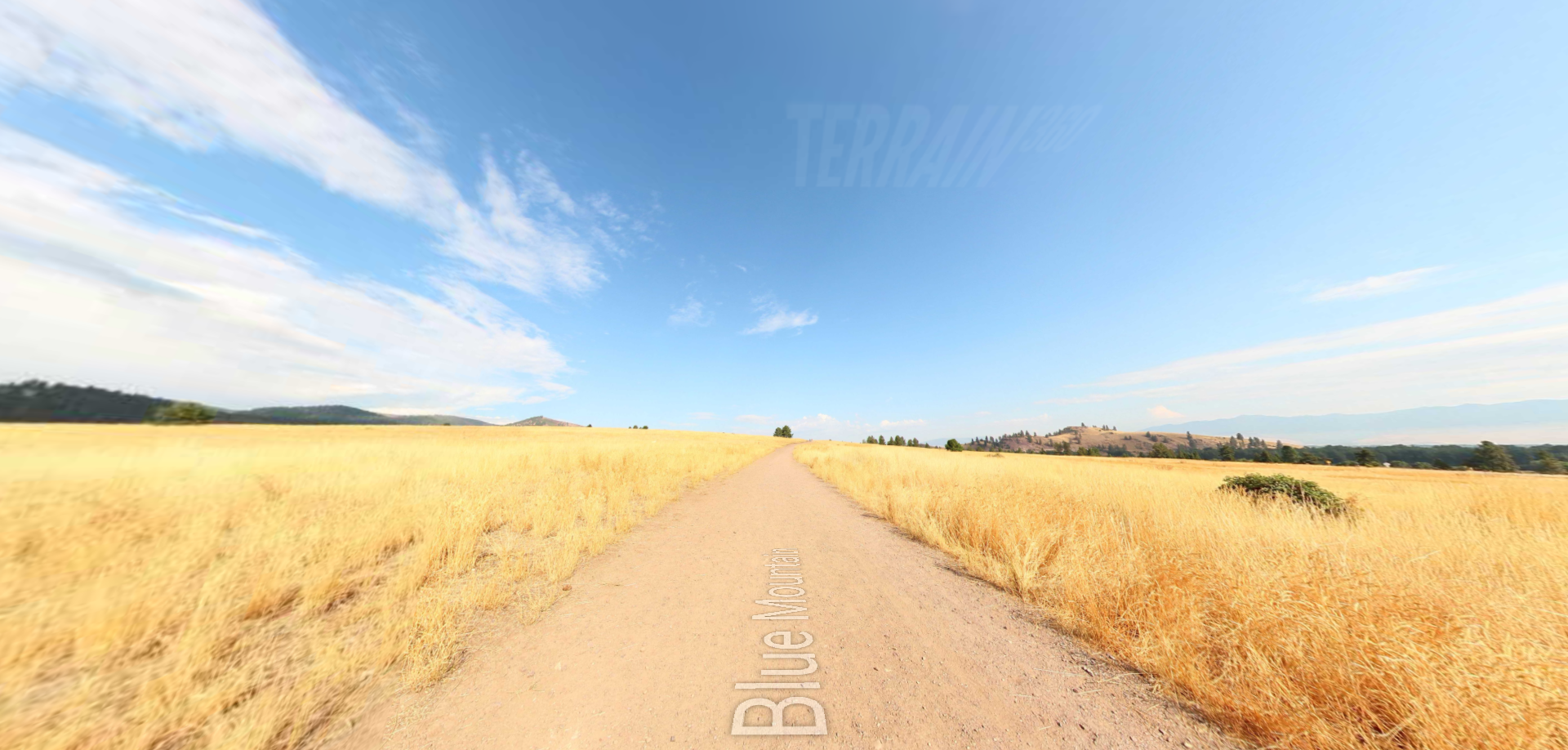


A trail starting at Hauser Dam and overlooking the Missouri River.


