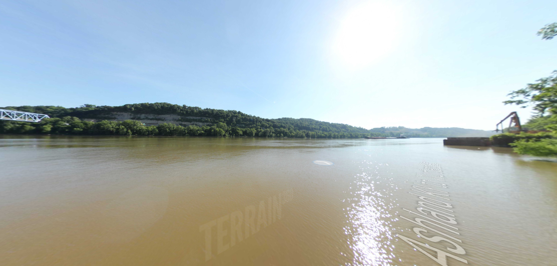
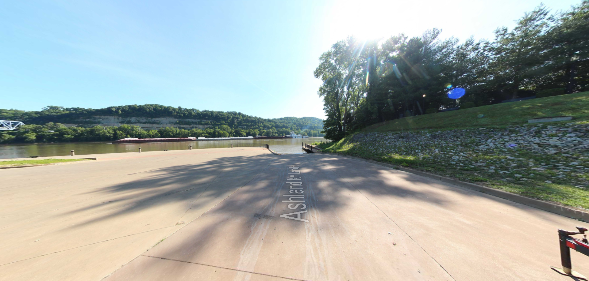
Ashland Kentucky Landing
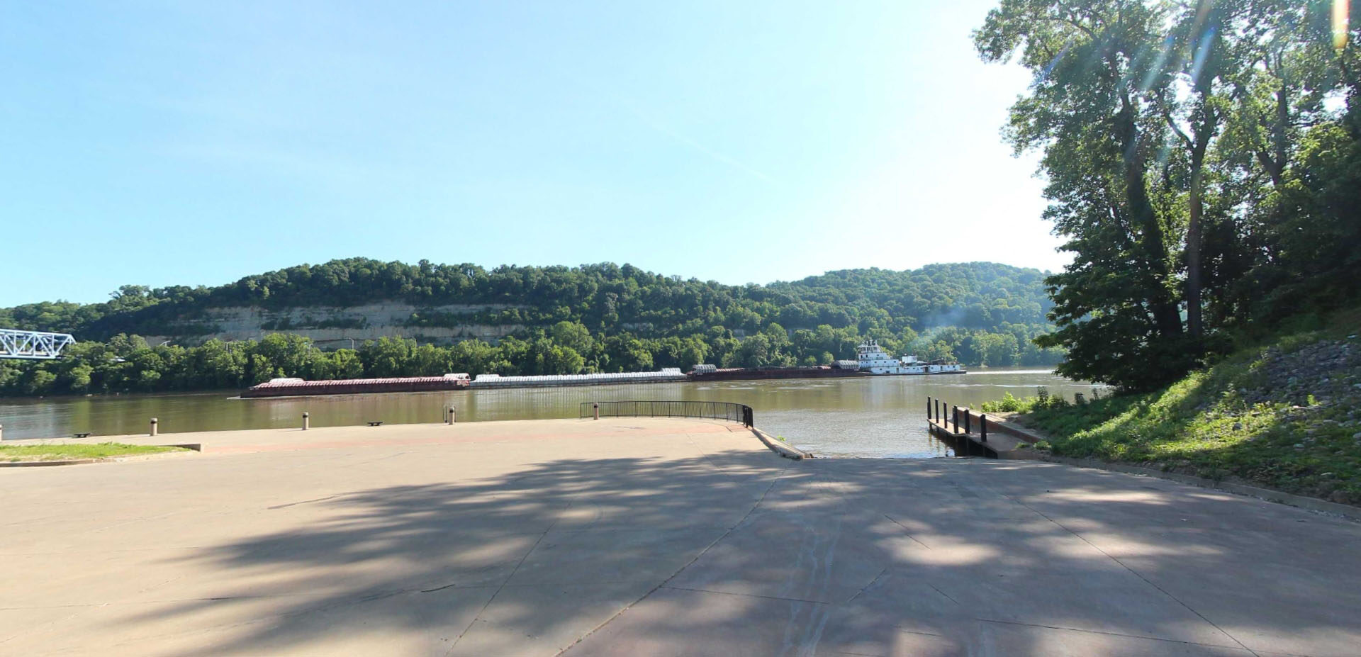
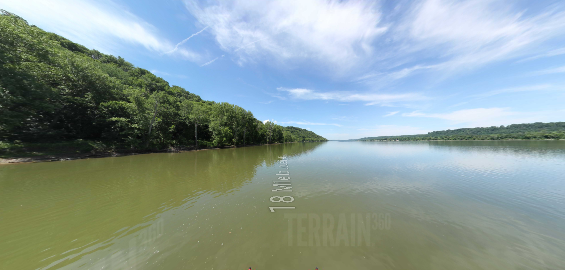
This picturesque boat ramp in Ashland, Kentucky is an ideal location for launching into the Ohio River. This is the most eastward location to begin tracing the expedition’s path with street level imagery on waterways and land heading west.
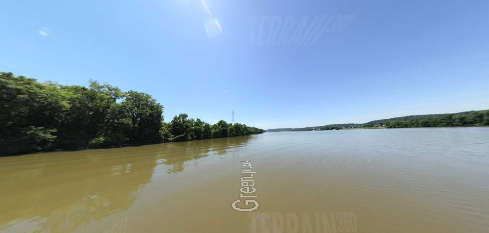
Distance Unit:
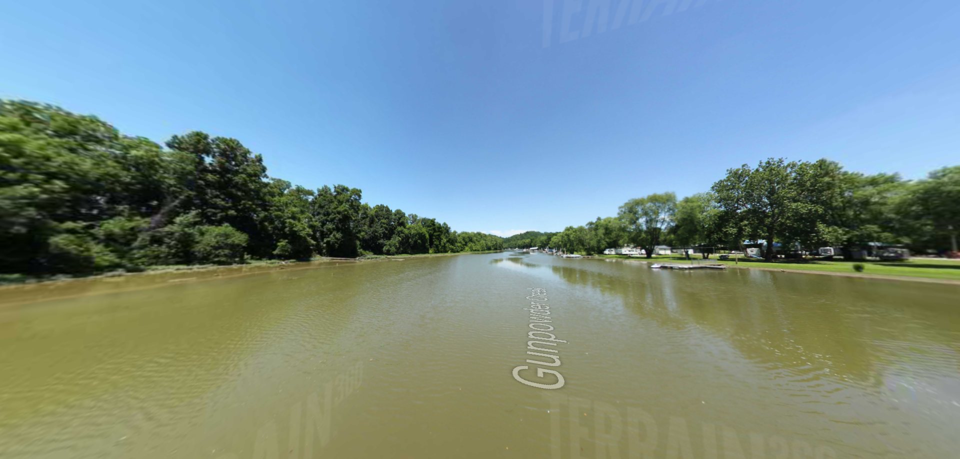
Distance Unit: