Page Feedback

Alice Creek Trail

Alice Creek Trail

Information

406-362-7000
lat: 47.1388941 long: -112.4564282

The Alice Creek Trail, located in the rolling, high terrain of the Lincoln Ranger District of the Helena-Lewis and Clark National Forest in Montana, leads to Lewis and Clark Pass and the Scapegoat Wilderness. This family-friendly trail has a gradual include and the hike to the pass is 1.7 miles. Many outdoor activities, such as hiking, backpacking, camping, picnicking, nature study, fishing, horse riding, and more are available. Bring binoculars to view scenic vistas and look for clues of the presence of wildlife – moose tracks, beaver dams, woodpecker holes, and bald eagle nests in treetops. Please respect the wildness of animals by not approaching or feeding.

Nearby Attractions

Distance Unit:

Nearby Trails

Distance Unit:

Nine Mile to Mcnamara

lat: 46.9502198 long: -113.3787584
Rivers Edge Trail

lat: 47.517582 long: -111.2649299
Hauser Hiking Trail

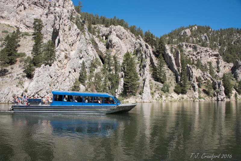
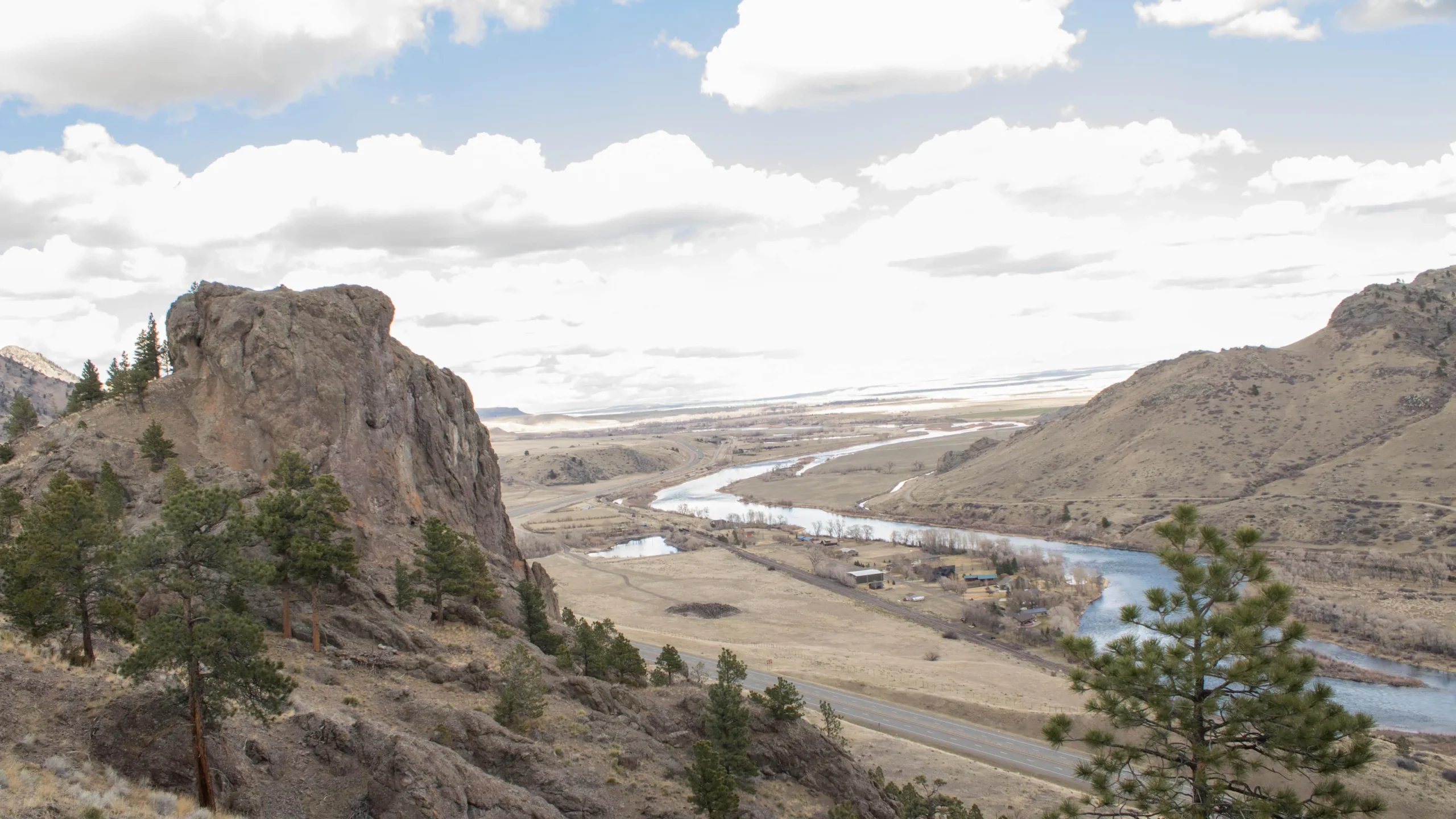
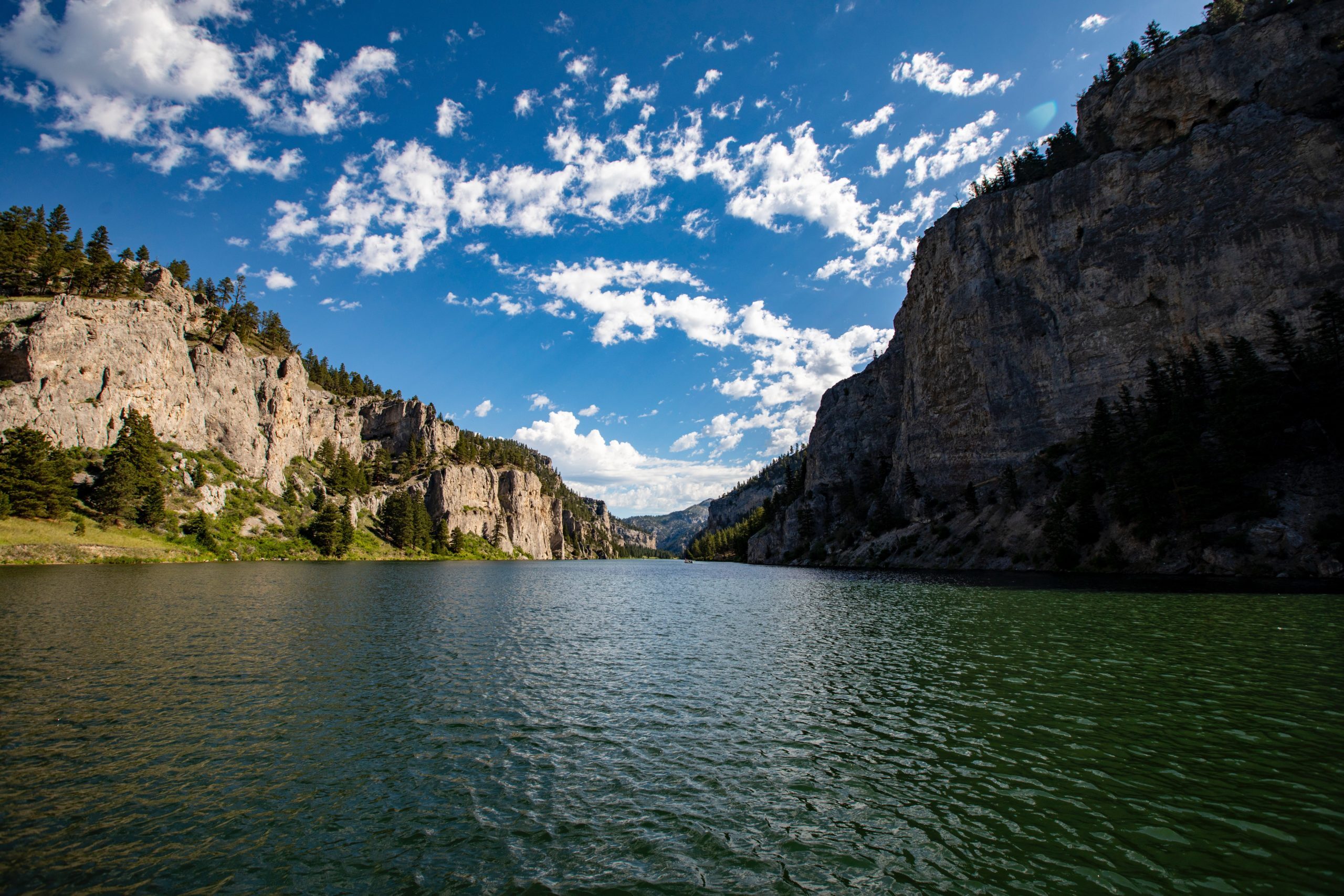
A trail starting at Hauser Dam and overlooking the Missouri River.

lat: 46.765794328365 long: -111.88708305359
Eagle Creek to Hole in the Wall

lat: 47.8317525 long: -110.074063
Coal Banks Landing to Eagle Creek

lat: 47.7400888 long: -109.6276312
Old Buffalo Trail 3

lat: 46.9547545 long: -113.5255417
Missouri River to Hauser Dam

lat: 46.7649385 long: -111.8858237
Lemhi Pass Road

lat: 44.9579032 long: -113.3652553
Weight Station Fishing Access

lat: 46.8788874 long: -113.8525126
Travelers Rest State Park

lat: 46.753308 long: -114.0899468
Old Buffalo Trail 2

lat: 46.9547545 long: -113.5255417
Buffalo Jump

lat: 47.4796208 long: -111.5247388
Send Feedback

Instagram Feed