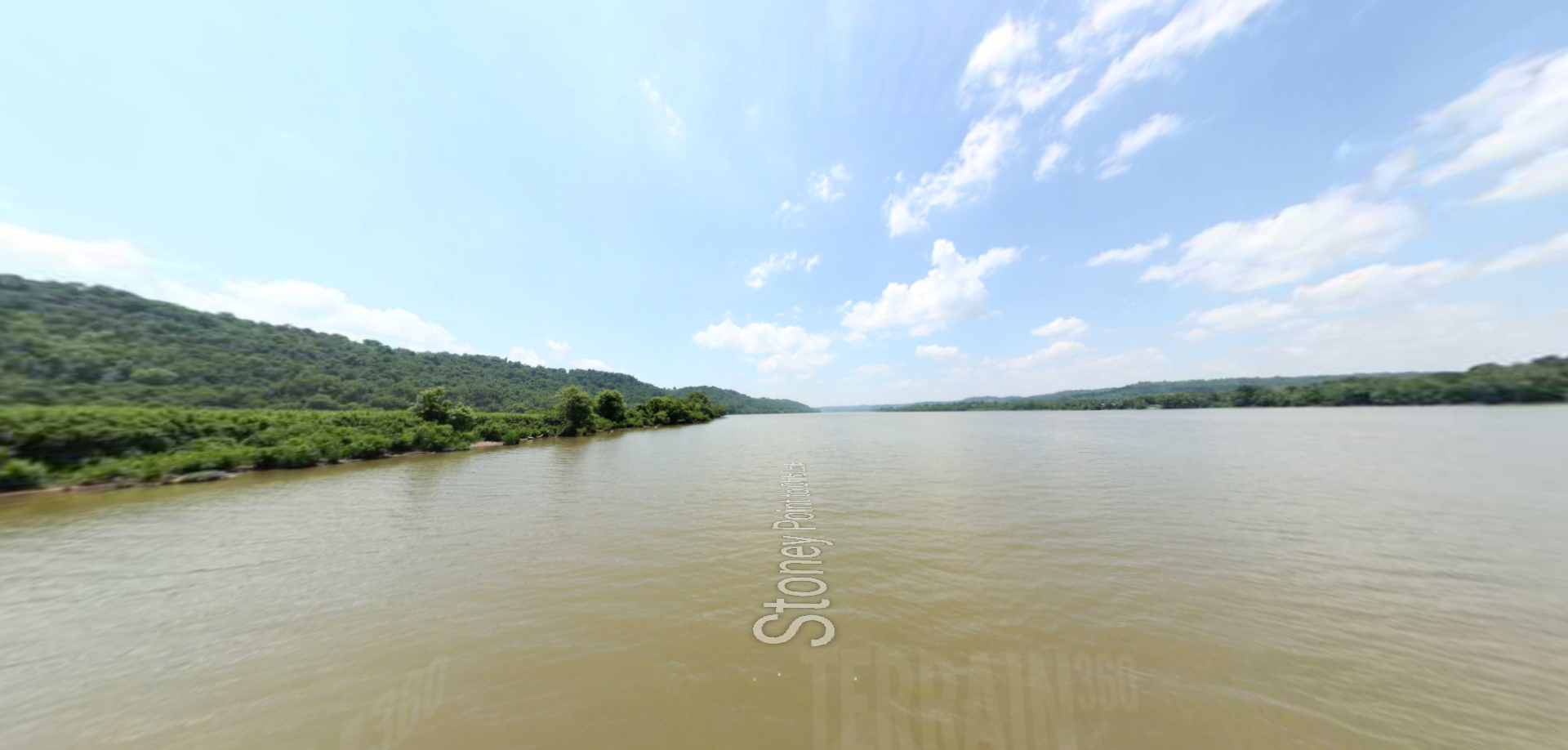
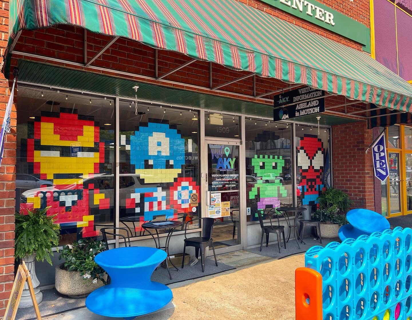
Located on the southern banks of the Ohio River in the tri-state area of Kentucky, Ohio, and West Virginia, Ashland is home to a walkable downtown dotted with unique art installations and locally owned restaurants…
The Winchester is the newest steak and seafood restaurant in the Appalachia area. Our savory steaks and succulent seafood will please your palate. Enjoy the highest quality steak and seafood in a casual Appalachian Atmosphere…
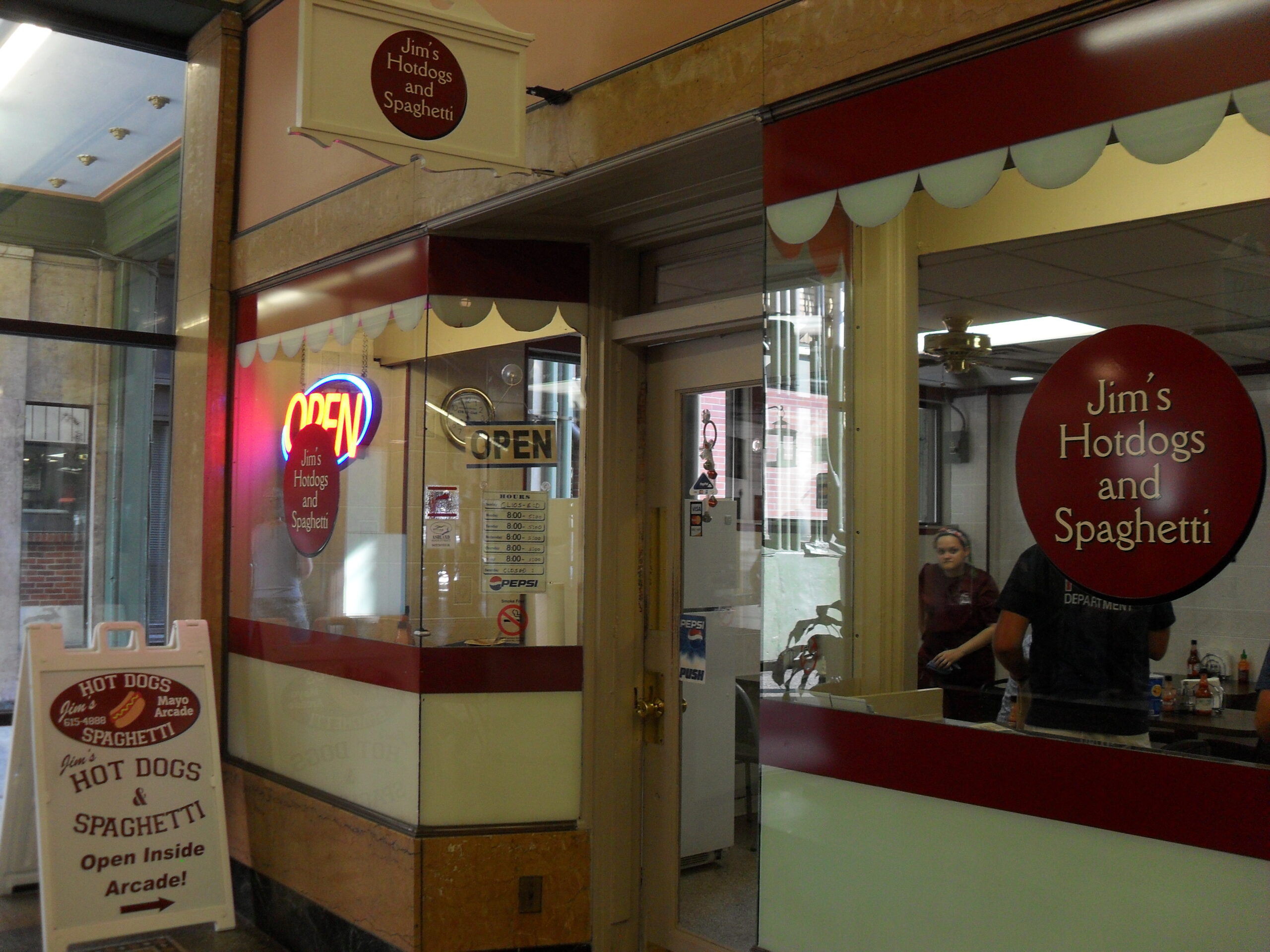
Voted “Best Hot Dog in the State of Kentucky” by Food and Wine Magazine, you will not be disappointed with a hot dog or spaghetti plate from Jim’s! Also serving barbecue, burgers, and other American…
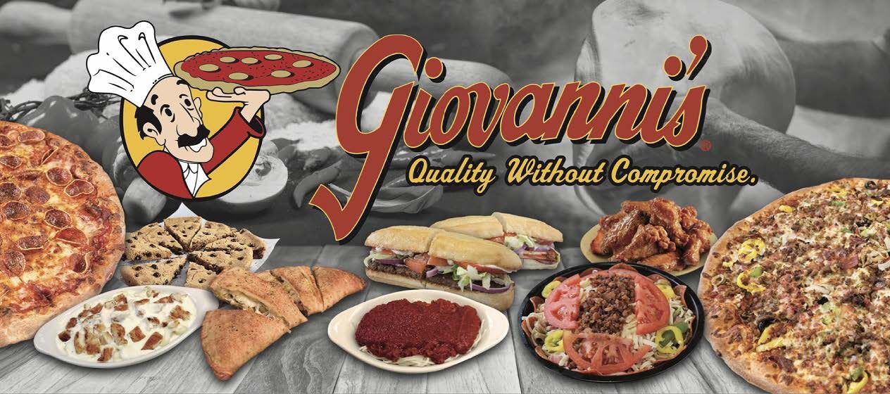
Giovanni’s Pizza is an established brand name that has been providing its customers with the highest quality food for over 50 years. Our focus on food quality and customer satisfaction helps us build a relationship…
Casual Dining. Excellent Bar. We’re proud to offer something to everyone. From burgers and sandwiches to salads and dinners, you are sure to find something you’ll love. Our full bar includes a vast variety of…
This atmosphere is like nothing else you will find around here! We are a family friendly establishment who loves EVERYTHING AMERICAN! We smoke our fresh meats in house and our menu is built around them.…
Come enjoy our beautiful downtown with the new addition of The Mill Tapas and Wine Bar. Just recently opened, our menu features signature tapas, desserts, and an assortment of wine and beer. Check out our…
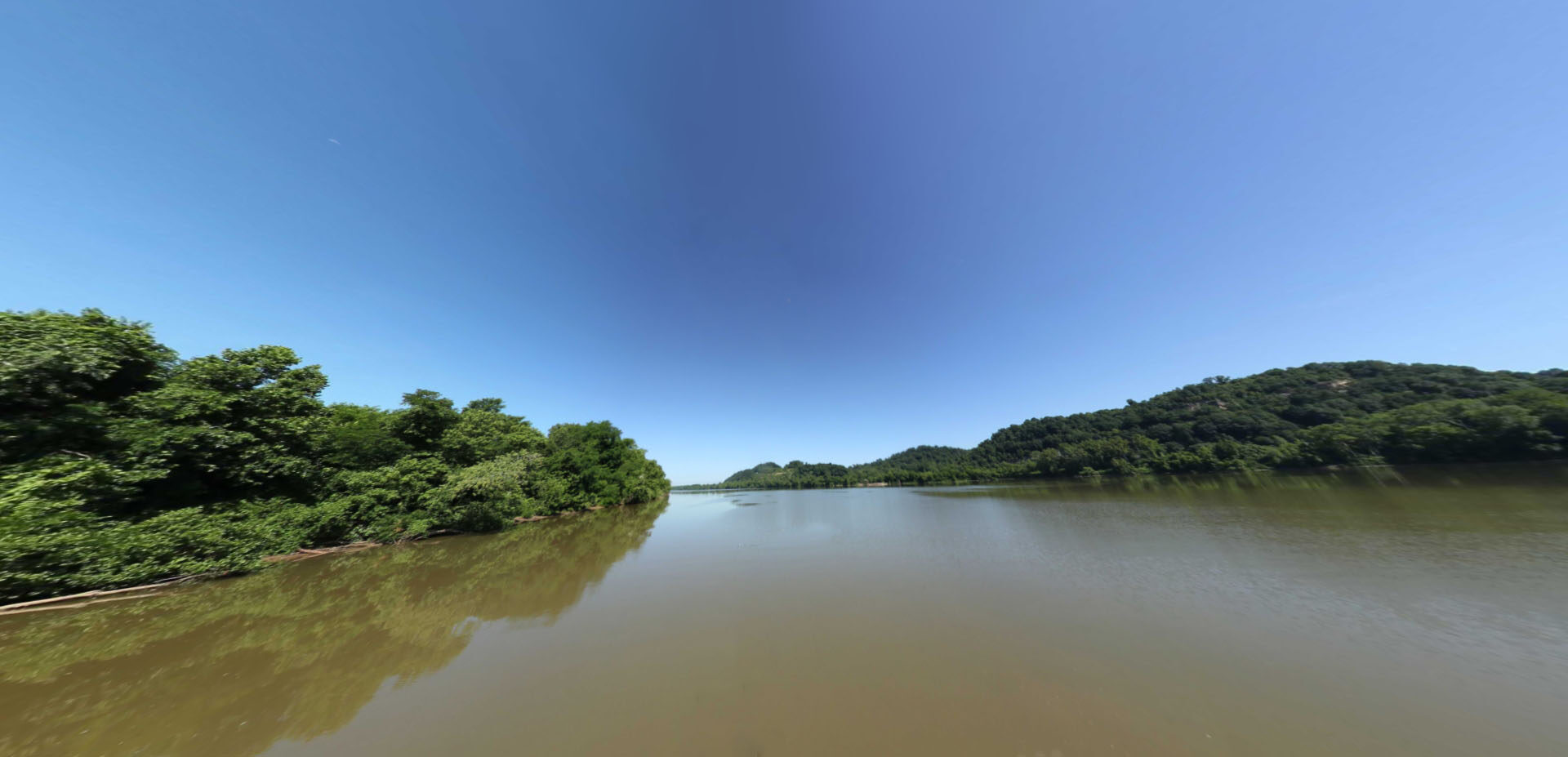
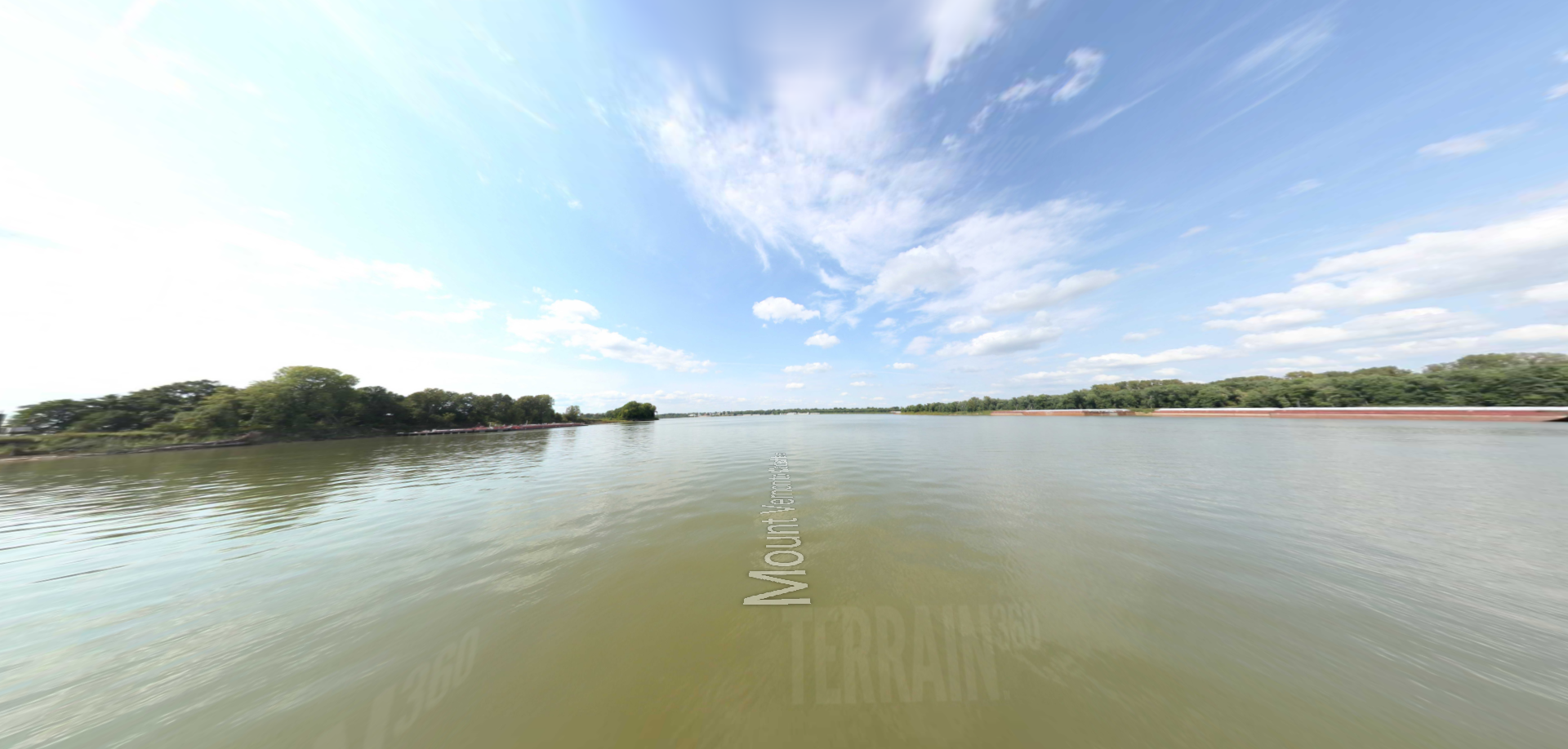
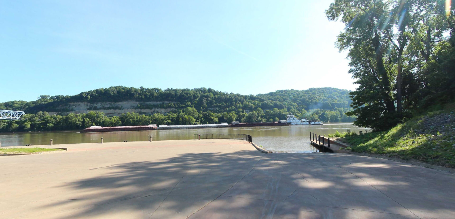
This picturesque boat ramp in Ashland, Kentucky is an ideal location for launching into the Ohio River. This is the most eastward location to begin tracing the expedition’s path with street level imagery on waterways…