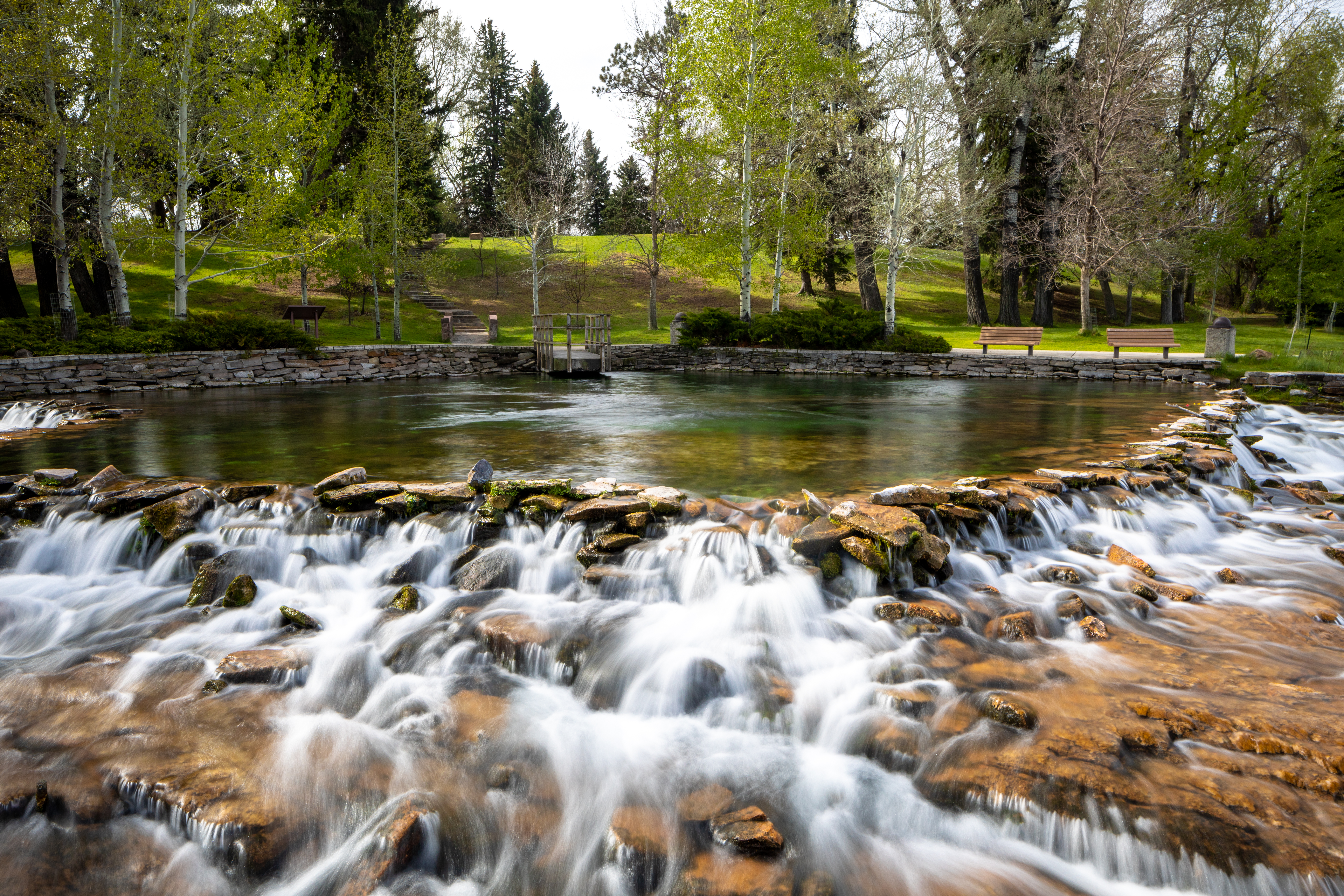
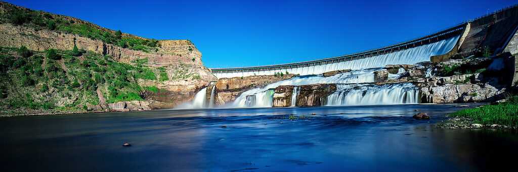
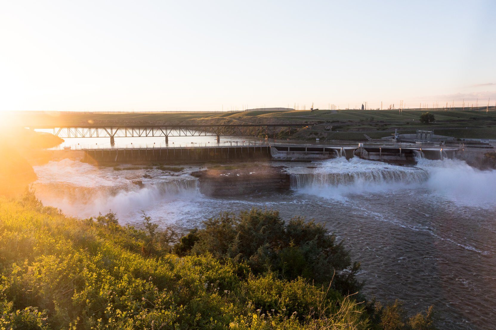
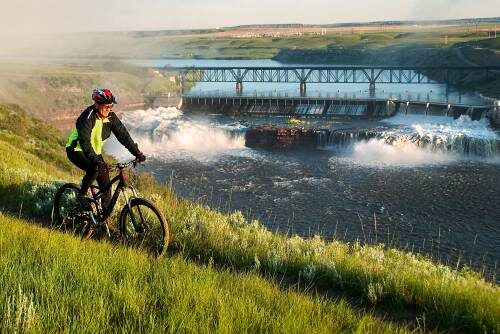
Rainbow Falls
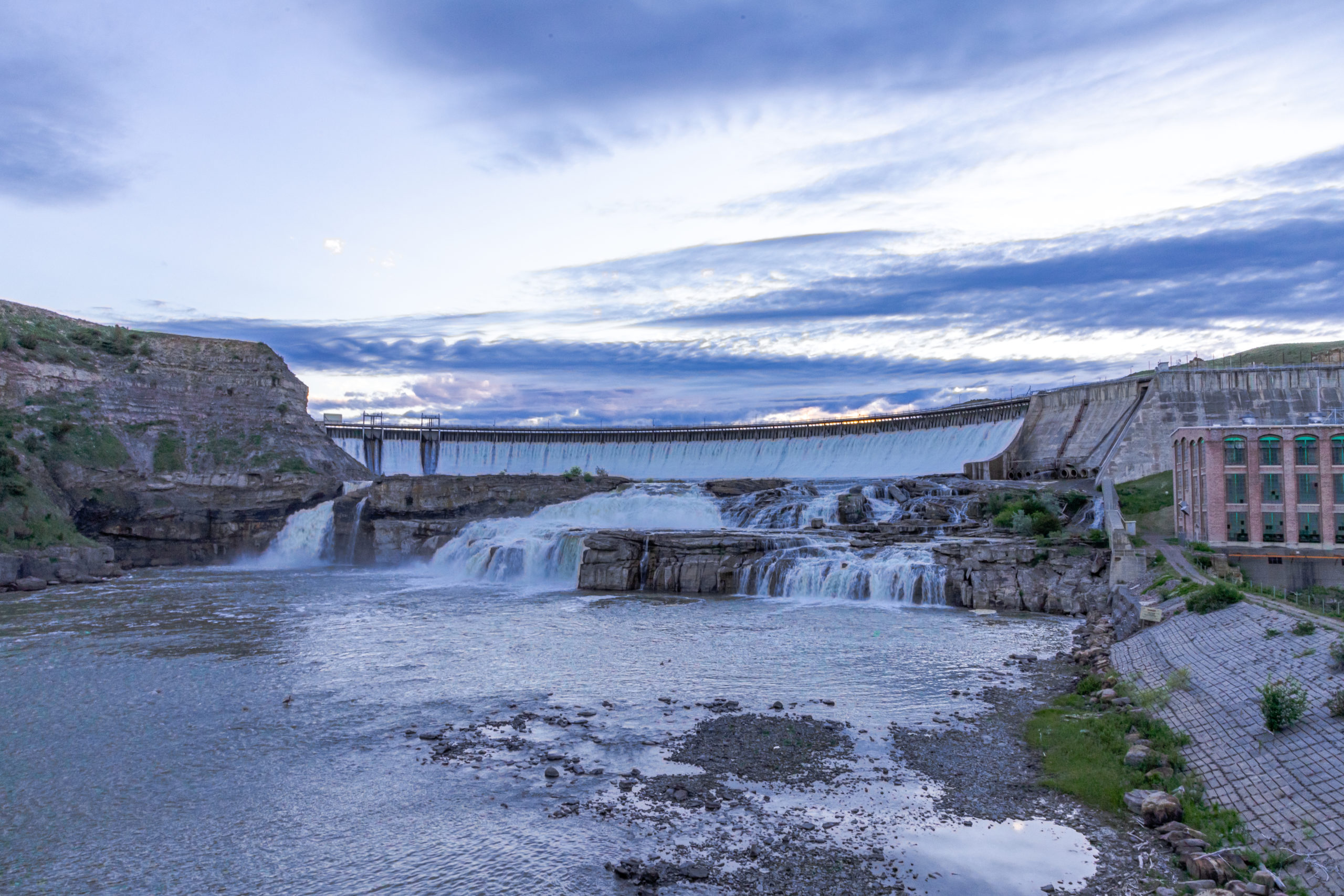
Part of the “Great Falls of the Missouri River,” Rainbow Falls was encountered by Meriwether Lewis in June of 1805. He journaled about this “pleasingly beautifull” waterfall by noting, “that if a skillfull painter had been asked to make a beautifull cascade that he would most probably have presented the precise image of this one…”
Located in the scenic town of Great Falls, Montana, Rainbow Falls has greatly changed since Lewis first witnessed and recorded it in his journal. First, the Montana Central Railroad bridge was built near the falls in 1901. Then, the falls were shortened for the development of the Rainbow Dam constructed in 1910. Today, visitors can enjoy the Rainbow Dam Overlook and imagine what this landscape was like for Lewis and his team all those years ago, before industry had come to this area.
A parking lot for the overlook is available nearby. Additionally, a paved trail for hiking and biking can take you to the overlook in less than two miles from the Lewis and Clark Interpretive Center. Several paved and gravel trails are offered along the Missouri River to explore this beautiful region and to visit the other waterfalls that constitute “The Great Falls” for which the town is named.
https://www.nps.gov/places/rainbow-falls.htm
Distance Unit:
Distance Unit:


The Blackfoot River, sometimes called the Big Blackfoot River to distinguish it from the Little Blackfoot River, is a snow-fed and spring-fed river in western Montana.


A trail starting at Hauser Dam and overlooking the Missouri River.