Explore the Rivers & Trails of the LCHNT

A unique virtual experience

Wickliffe Mounds State Historic Site

Tower Rock

Trailhead: lat: 37.63554 long: -89.51586
The Gateway Arch

Trailhead: lat: 38.6254157 long: -90.1881888
St. Genevieve to Tower Rock

Trailhead: lat: 37.89907 long: -89.82912
Spirit Mound

Trailhead: lat: 42.86804 long: -96.95609
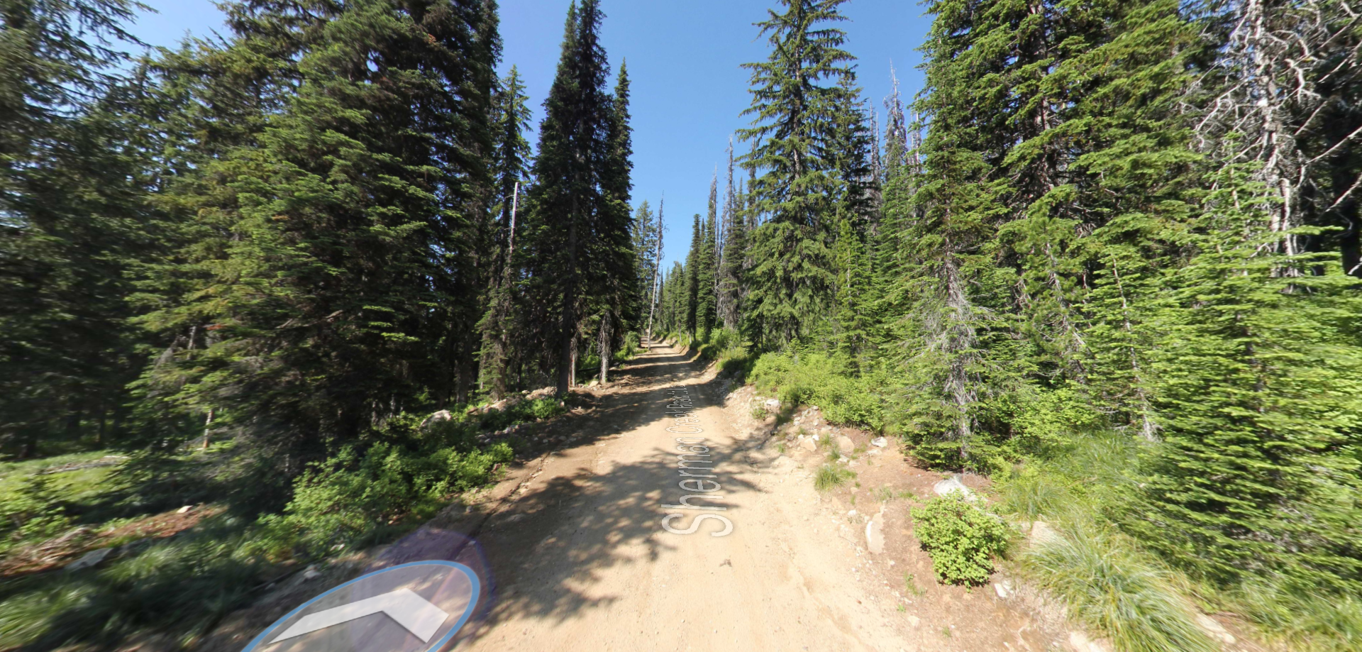
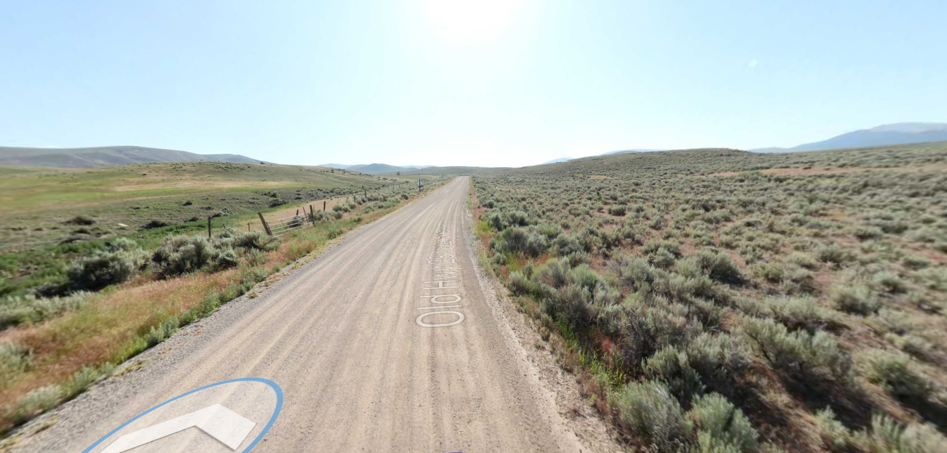
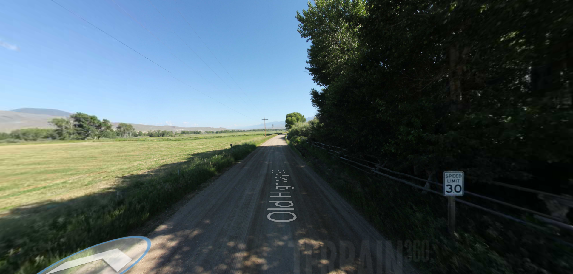
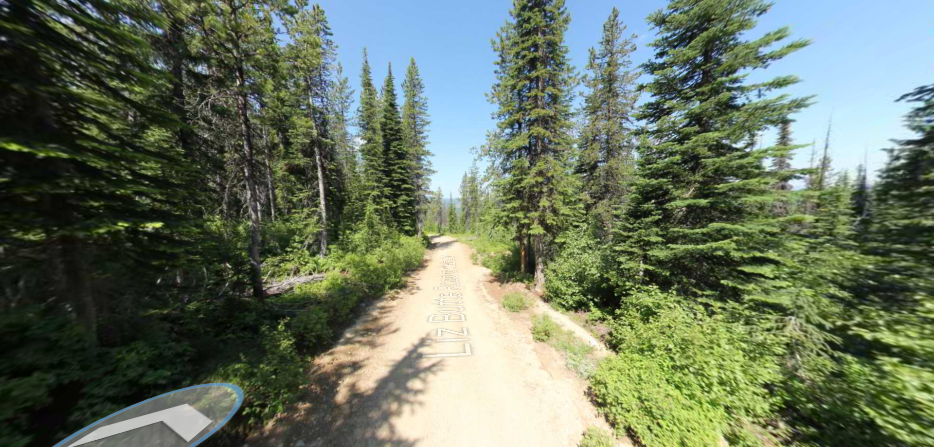
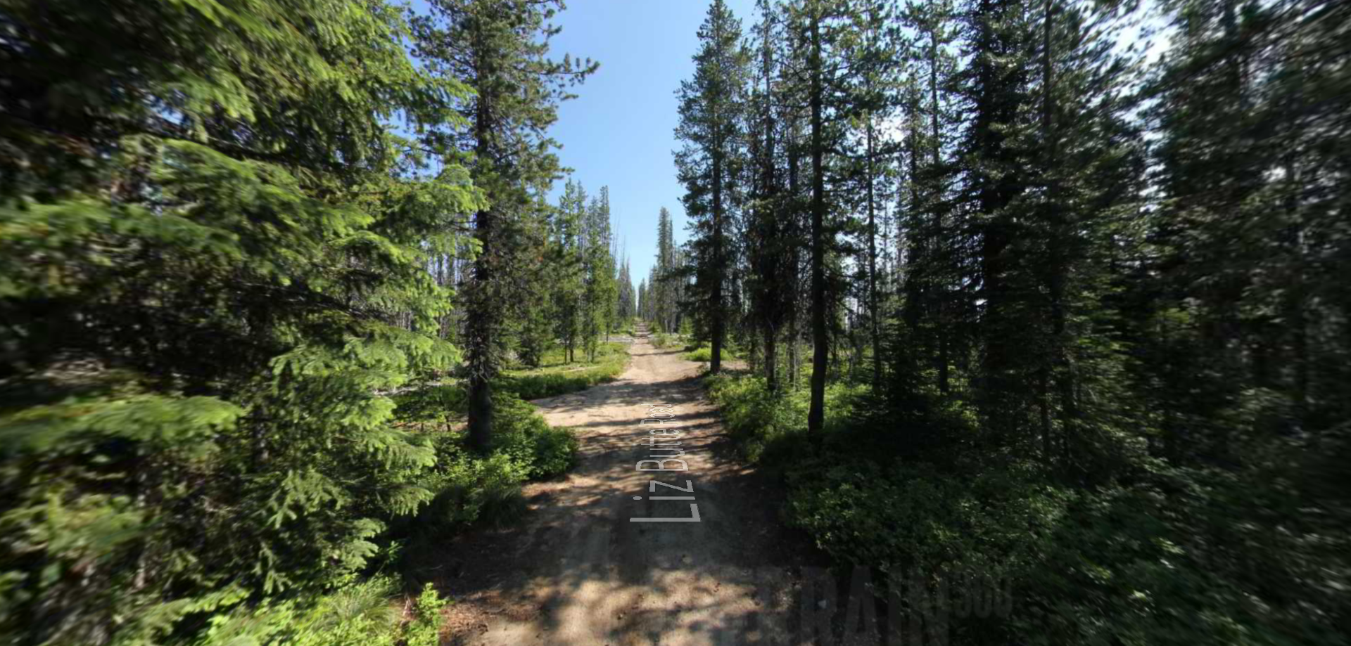
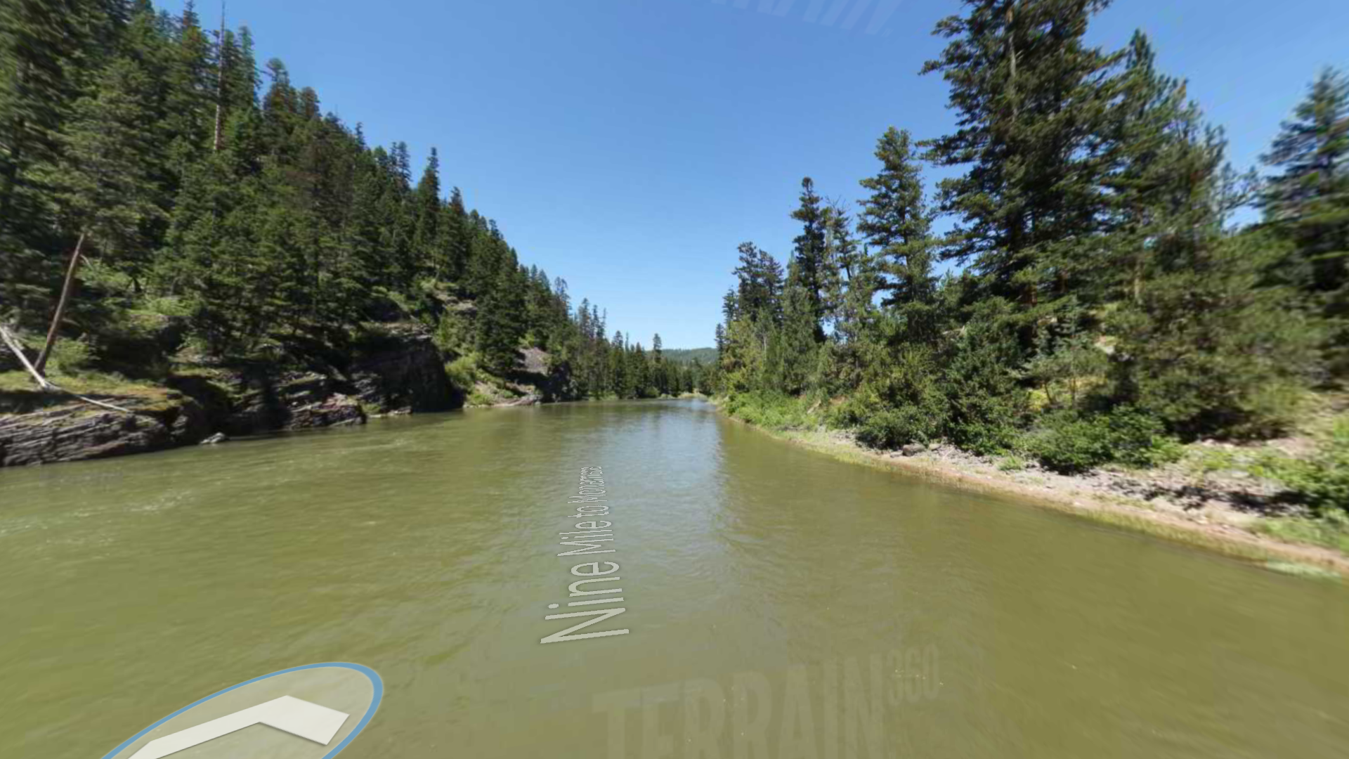
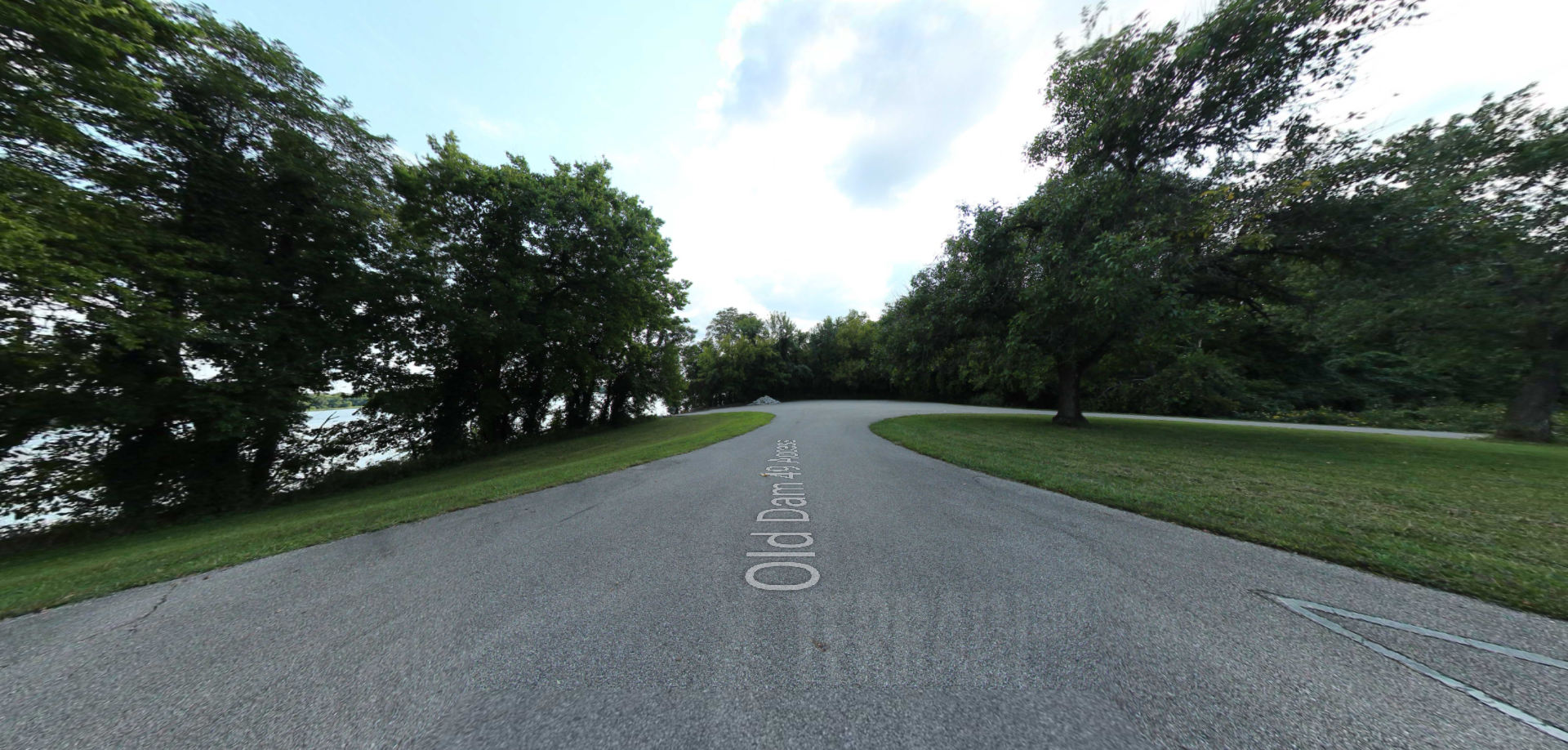
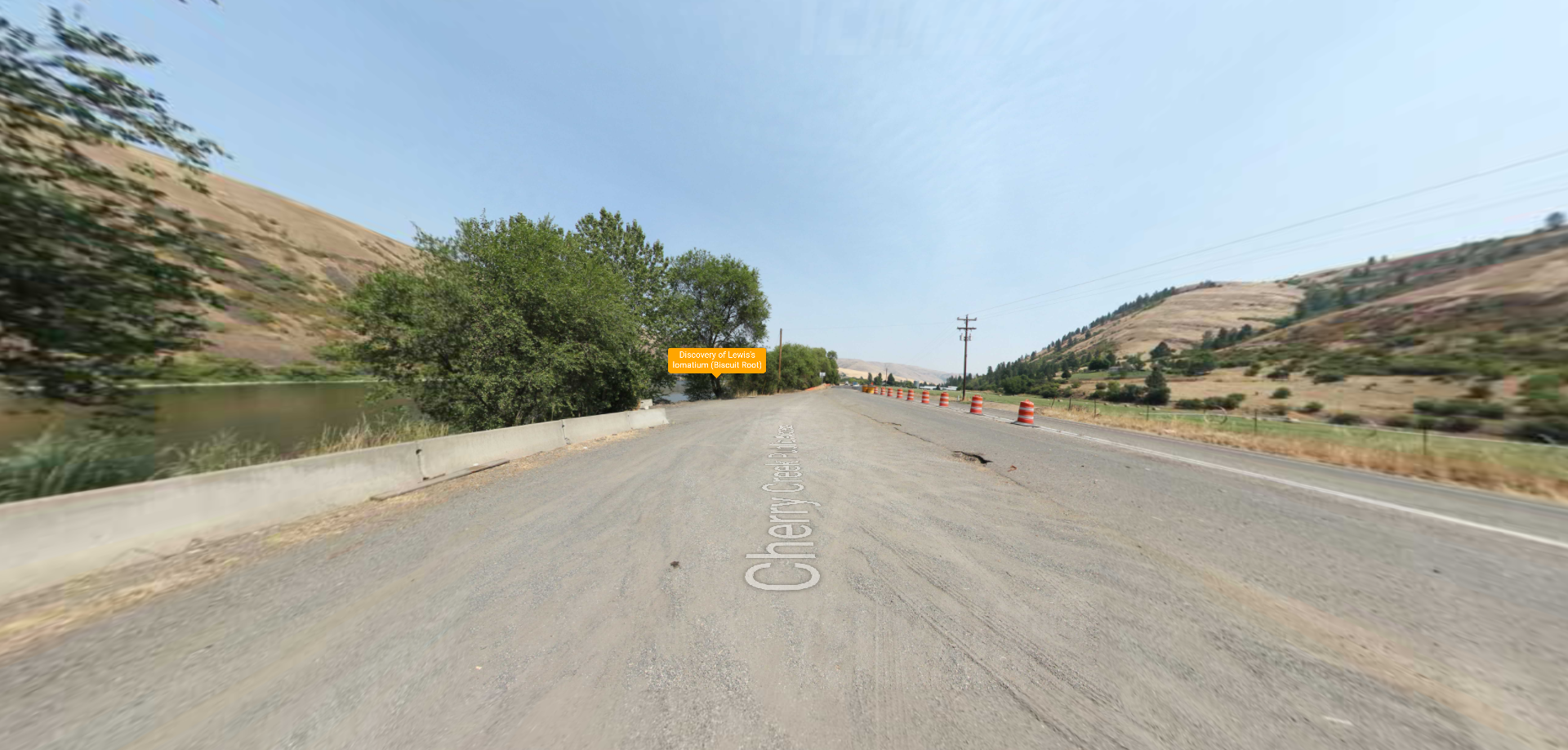
Sherman Creek Road to Liz Butte Road

Trailhead: lat: 46.4228125 long: -115.3043125
Sacajawea Mounument

Trailhead: lat: 44.9700625 long: -113.4439375
Rocky Ridge Lake Road

Trailhead: lat: 46.4388125 long: -115.4924375
Riverfront Park

Trailhead: lat: 39.56506 long: -95.11259
Red Star Access Site

Trailhead: lat: 37.3156208 long: -89.5126263
Red House Path

Trailhead: lat: 37.3008461 long: -89.5186713
Red House Interpretive Center

Olmstead Access

Trailhead: lat: 37.1688 long: -89.08419
Old Highway 28

Trailhead: lat: 44.96006 long: -113.64075
Noren Access Path

Trailhead: lat: 38.5894 long: -92.17918
New Haven Public Access

Trailhead: lat: 38.61434 long: -91.21069
Nee Me Poo Trail #4 to Castle Butte

Trailhead: lat: 46.5511875 long: -114.9756875
Missouri State Capital

Missouri River Headwaters

Trailhead: lat: 44.9704375 long: -113.4434375
Miami to Big Muddy

Trailhead: lat: 39.32615 long: -93.22803
Lower Missouri River

Trailhead: lat: 43.05404 long: -98.55539
Lolo Trail to Syringa ID

Trailhead: lat: 46.2281731 long: -115.6698517
Lolo Trail to Nee Me Poo Trail #40

Trailhead: lat: 46.58654 long: -114.73281
Liz Butte Road to Weitas Butte Road

Trailhead: lat: 46.4534115 long: -115.1974801
Liz Butte Road

Trailhead: lat: 46.4359386 long: -115.324819
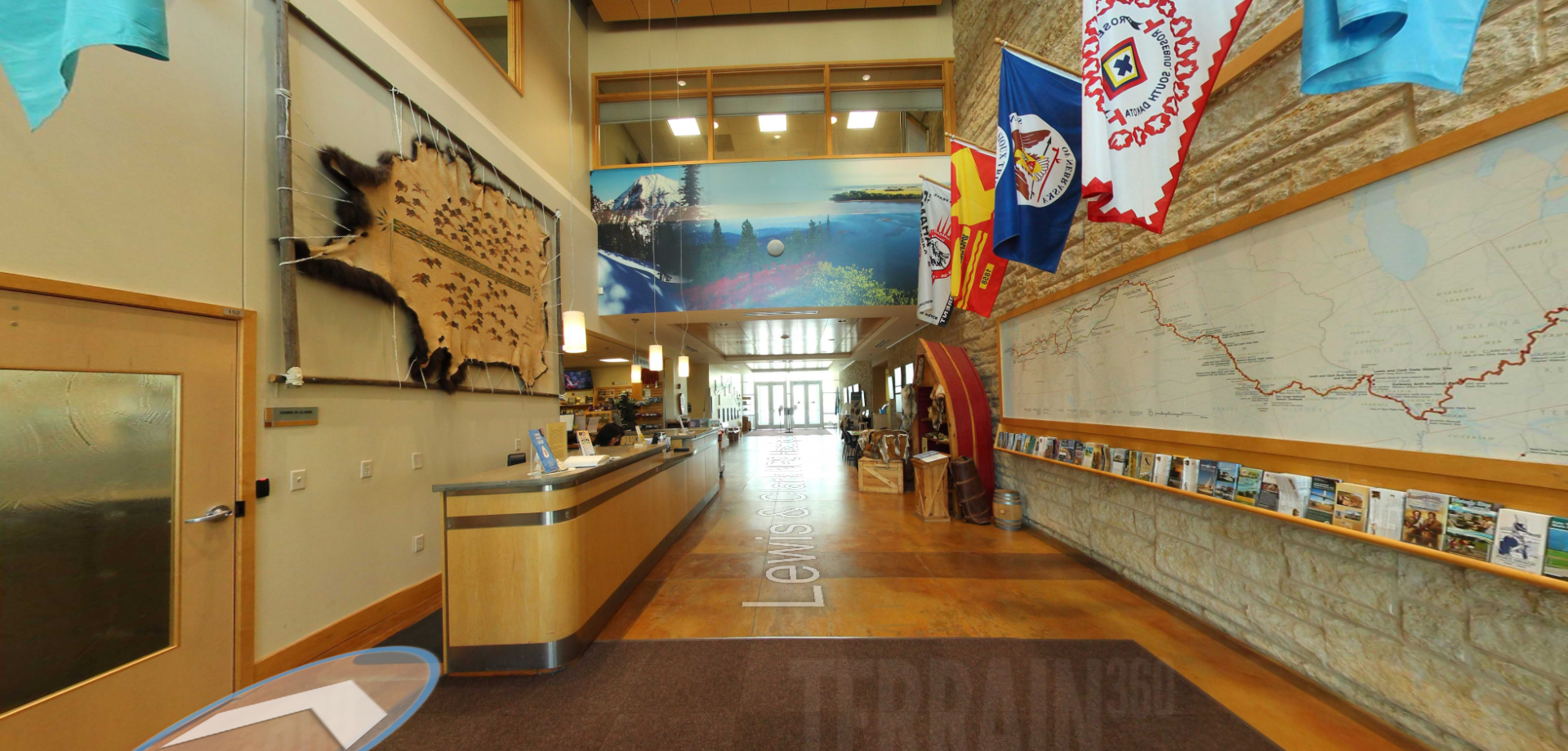
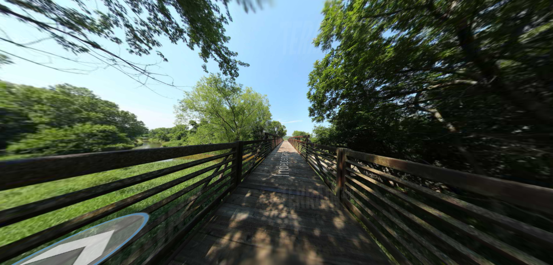
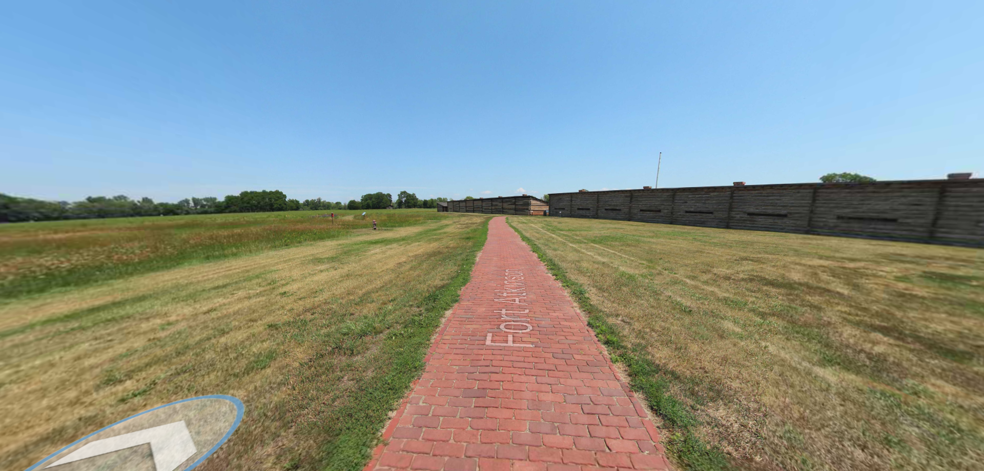
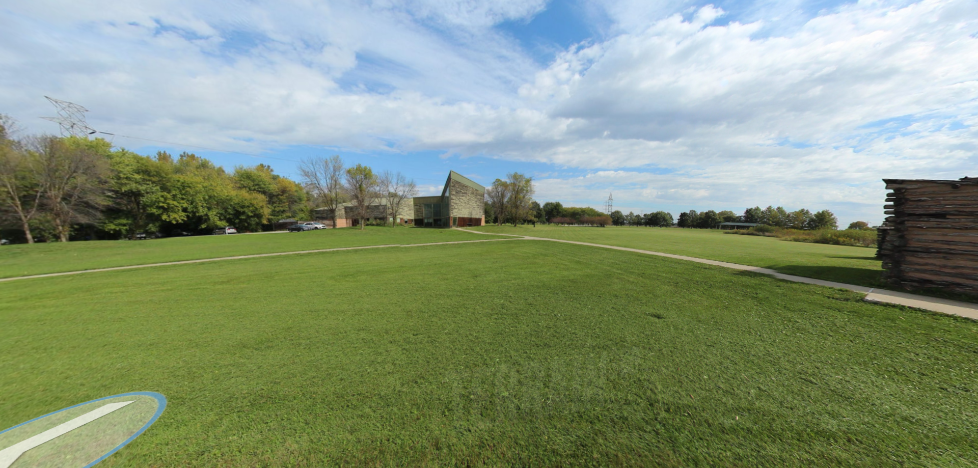
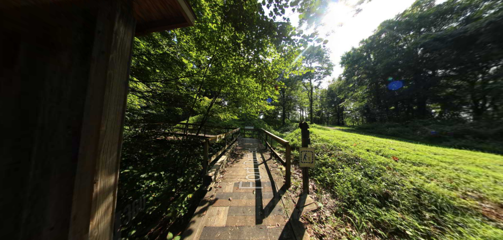
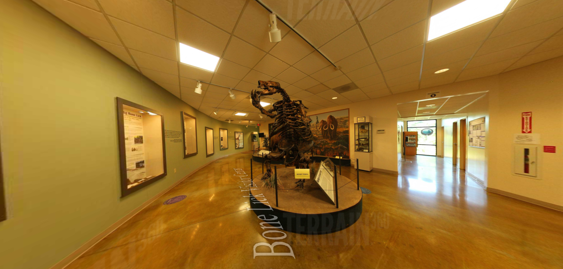
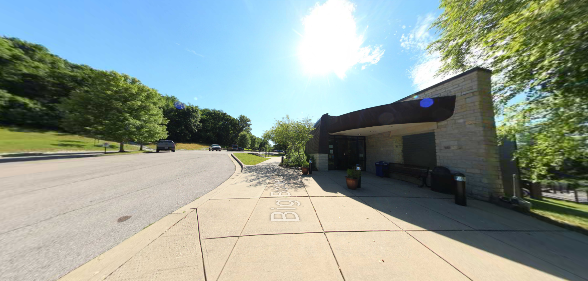
Lewis & Clark NPS Headquarter Courtyard
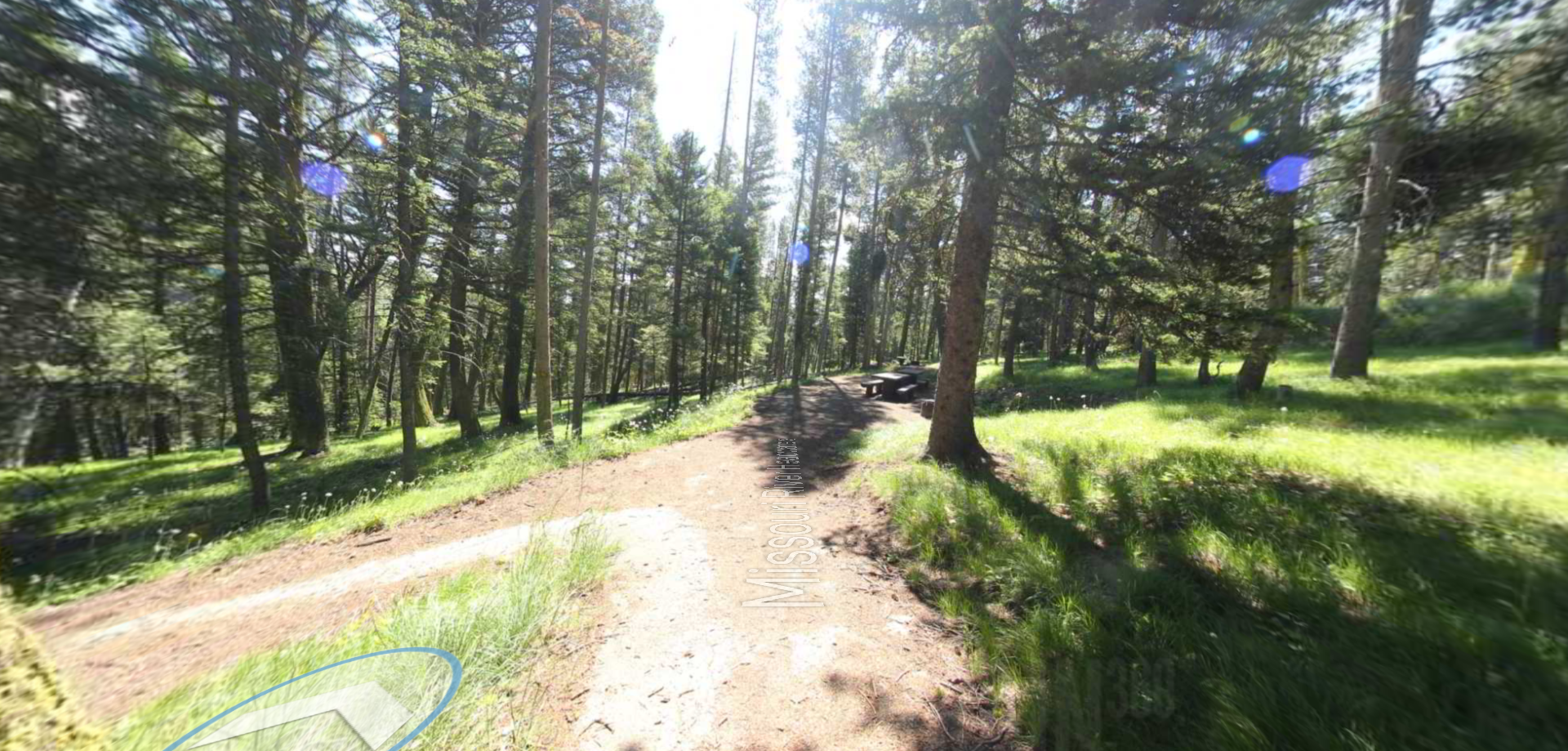
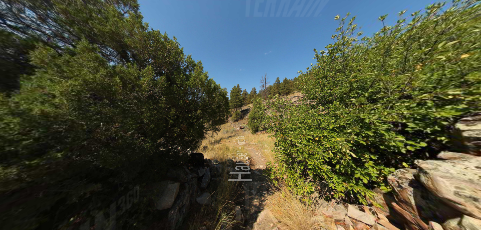
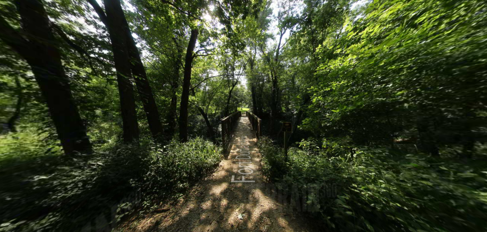
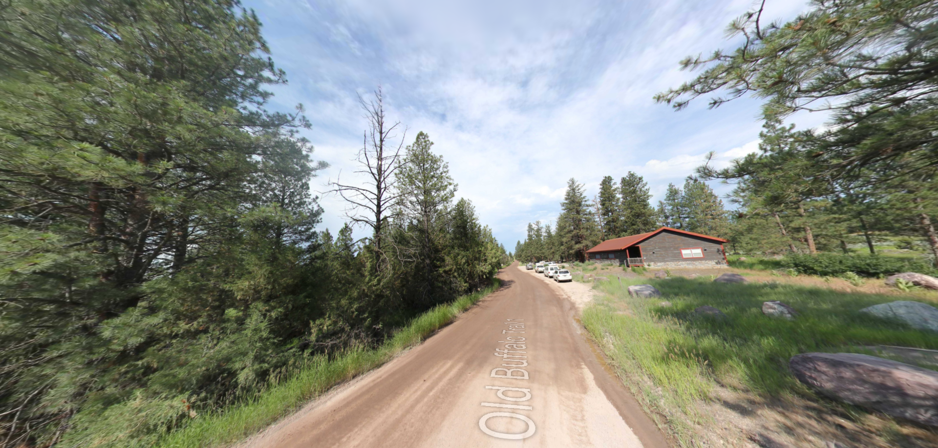
Trailhead: lat: 41.265454 long: -95.924142
Lewis & Clark NPS Headquarters

Trailhead: lat: 41.2649282 long: -95.9245674
Lewis & Clark Indigenous Garden

Trailhead: lat: 41.265 long: -95.92407
Lewis and Clark Nature Trail

Trailhead: lat: 38.77314 long: -90.4821
Lewis and Clark Memorial

Trailhead: lat: 38.57843 long: -92.1714
Lewis and Clark Highway

Trailhead: lat: 44.97475 long: -113.44537
Lemhi Pass Road

Trailhead: lat: 44.9579032 long: -113.3652553
LaBenite Park to Miami

Trailhead: lat: 39.16744 long: -94.39343
Klondike to Mississippi River

Trailhead: lat: 38.58395 long: -90.81858
Klondike Park River Access

Trailhead: lat: 38.5840552 long: -90.8200764
Katy Trail Trailhead

Trailhead: lat: 38.9776 long: -92.56147
Jefferson Mounument

Trailhead: lat: 38.57877 long: -92.17348
Independence Creek

Trailhead: lat: 39.62113 long: -95.09808
Imnamatoon Road

Trailhead: lat: 46.59337 long: -114.61484
Grand Village of the Kansa

Trailhead: lat: 39.62075 long: -95.09889
Grand Tower River Access

Trailhead: lat: 37.63009 long: -89.50603
Front Loop

Trailhead: lat: 38.82679 long: -90.21614
Francis Quadrangle

Trailhead: lat: 38.94607 long: -92.32836
Fort Osage Historic Park

Trailhead: lat: 39.1864762 long: -94.1928602
Fort De Chartres State Park

Trailhead: lat: 38.0867 long: -90.15835
Fort Bellefontaine

Trailhead: lat: 38.827083 long: -90.214293
Fort Atkinson

Trailhead: lat: 41.4510229 long: -96.0128221
Columbia Bottom Access

Chamoise to Klondike MO

Trailhead: lat: 38.70603 long: -91.73071
Chamoise to Klondike MO

Castle Butte

Trailhead: lat: 46.4341875 long: -115.2230625
Camp Dubois

Trailhead: lat: 38.801771 long: -90.10303
Bob Kerry Bridge

Trailhead: lat: 41.26556 long: -95.92361
Bean Lake Natural Area

Trailhead: lat: 39.49763 long: -95.02227
Arrow Rock

Trailhead: lat: 39.0685825 long: -92.9457706
LaBenite Park Access

Independence Park Access

Trailhead: lat: 39.56529 long: -95.1125
Brownville State Access

Trailhead: lat: 40.39562 long: -95.65073
Rulo KS to Nodaway River

Little Sioux River to Fort Calhoun

Fort Calhoun to Papillion Creek

Trailhead: lat: 41.44559 long: -95.92063
Decatur IA

Trailhead: lat: 42.0037 long: -96.24364
Atchison KS to Kansas City

Trailhead: lat: 39.56519 long: -95.11203
Nine Miles to Mcnamara

Clearwater to Dunnigan Gulch


Trailhead: lat: 46.9505625 long: -113.5433125
Hauser Hiking Trail

A trail starting at Hauser Dam and overlooking the Missouri River.
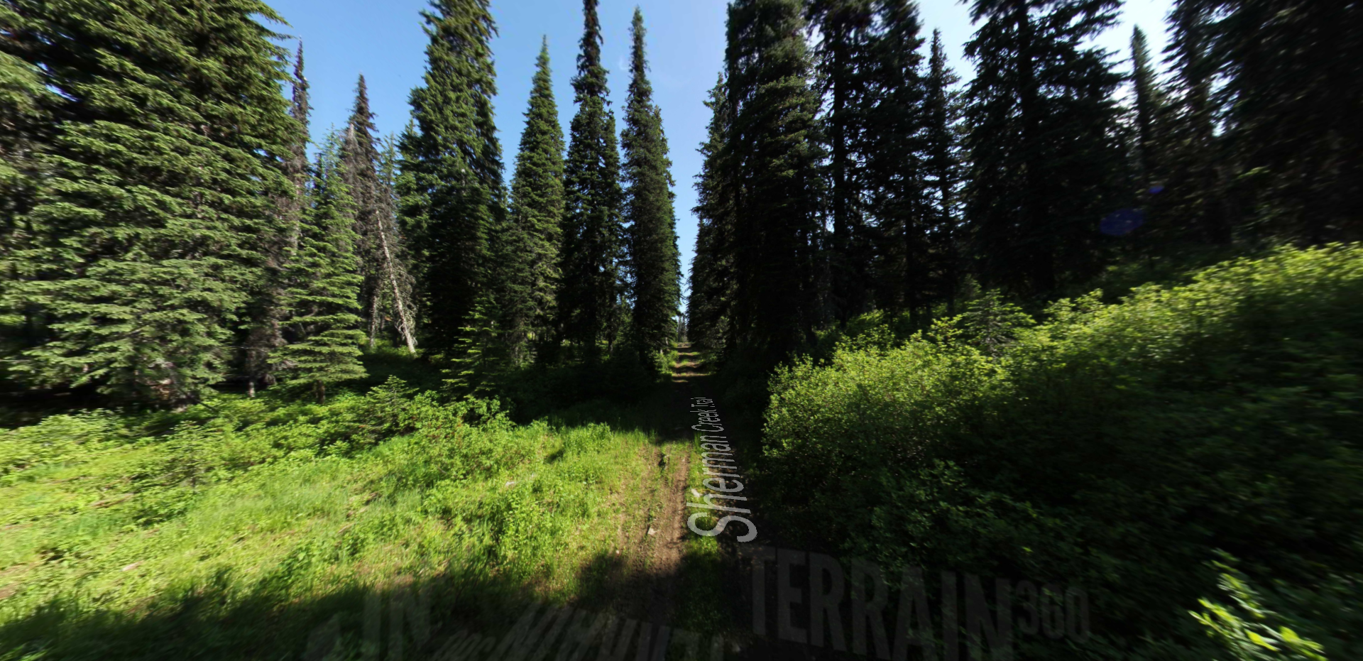
Trailhead: lat: 46.765794328365 long: -111.88708305359
Sherman Creek Trail

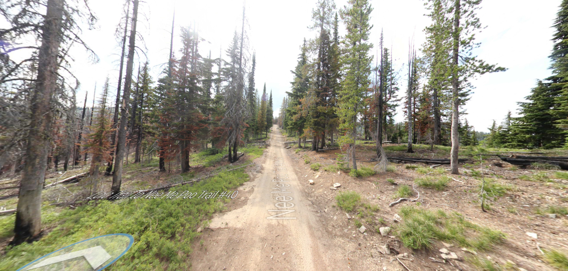
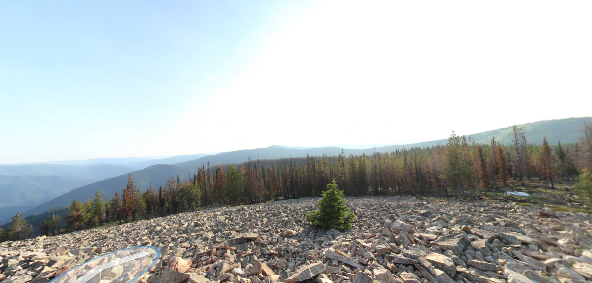
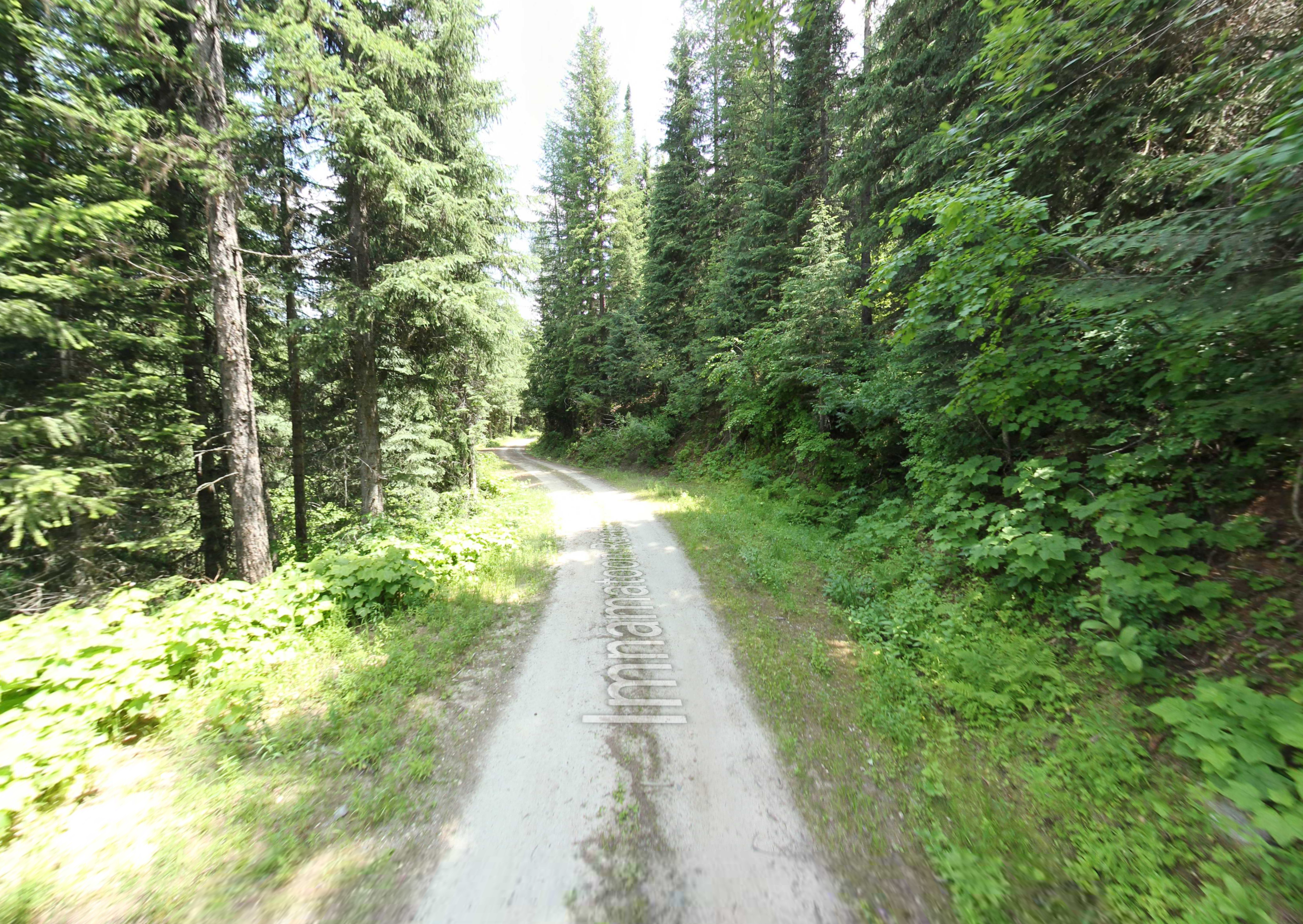
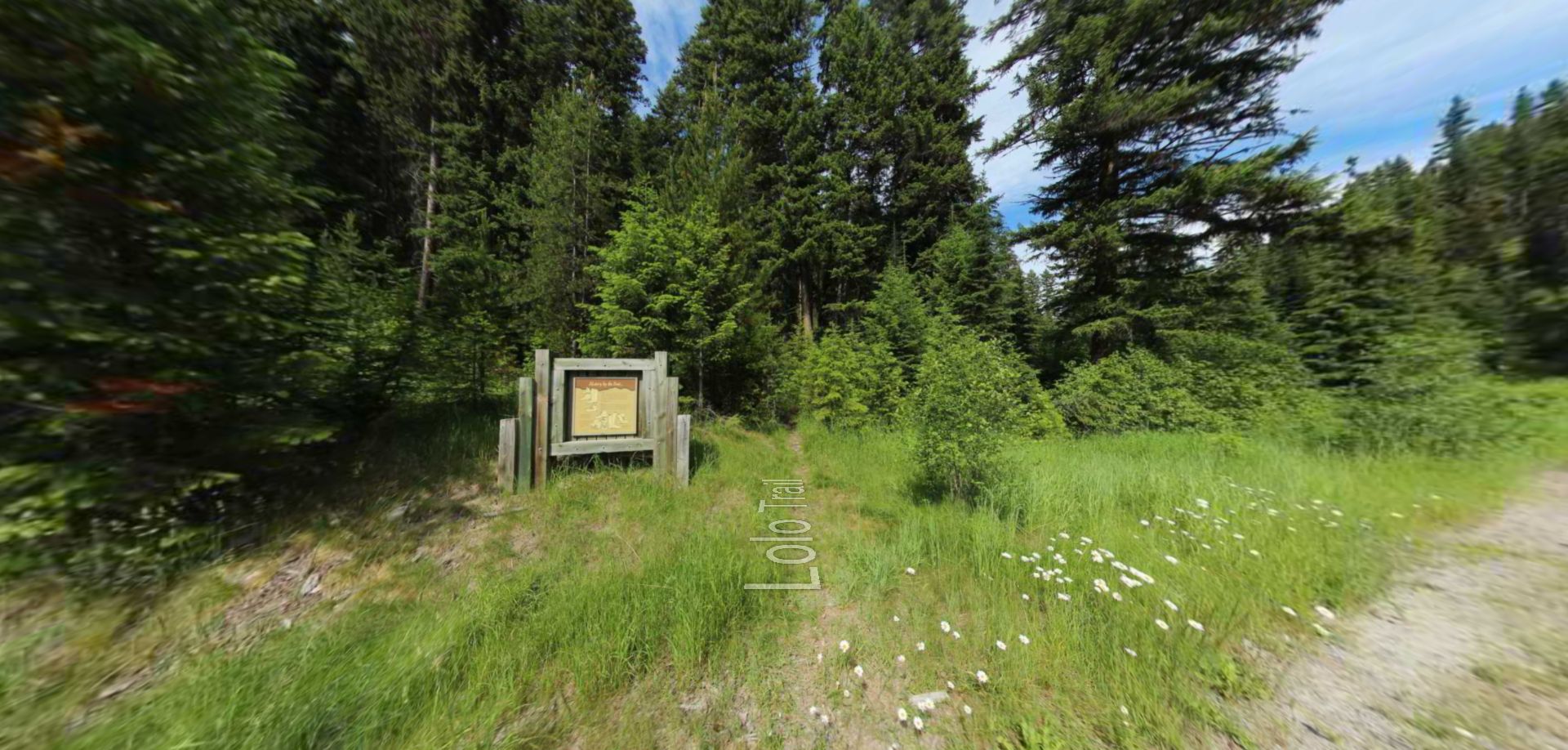
A part of the Idaho Centennial Trail, the Lewis and Clark Trail can be seen on the north ridge above the Lochsa River. (https://parksandrecreation.idaho.gov/activities/hiking/centennial-trail/)
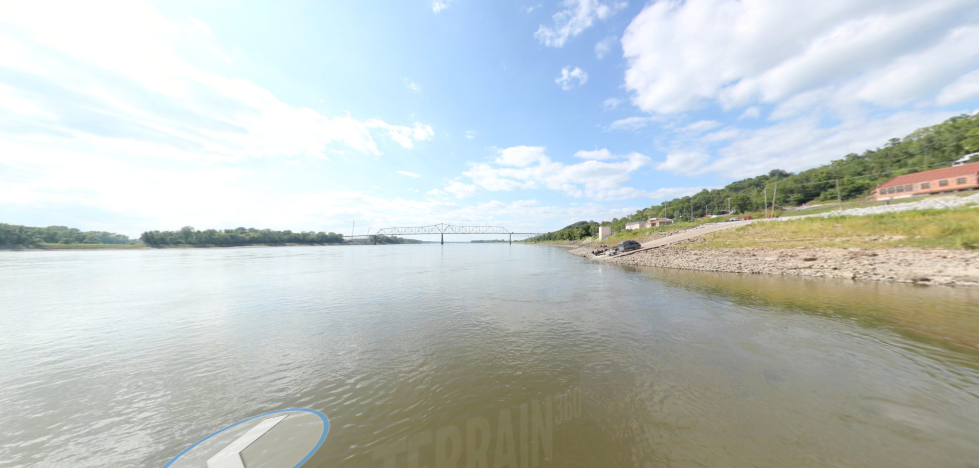
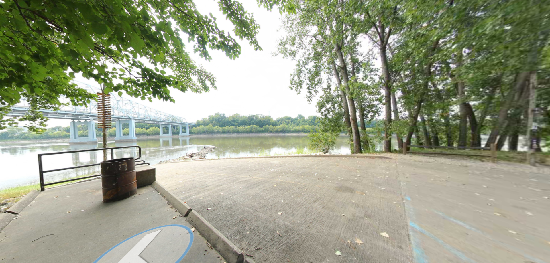
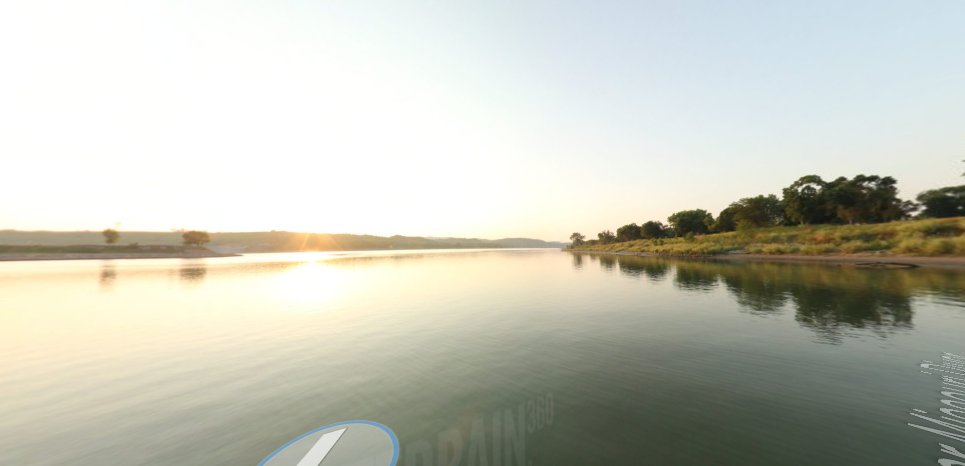
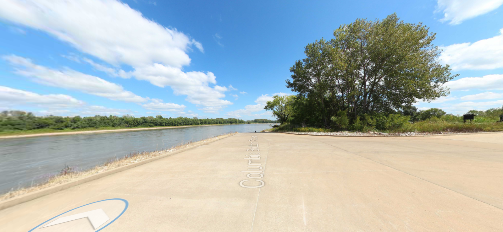
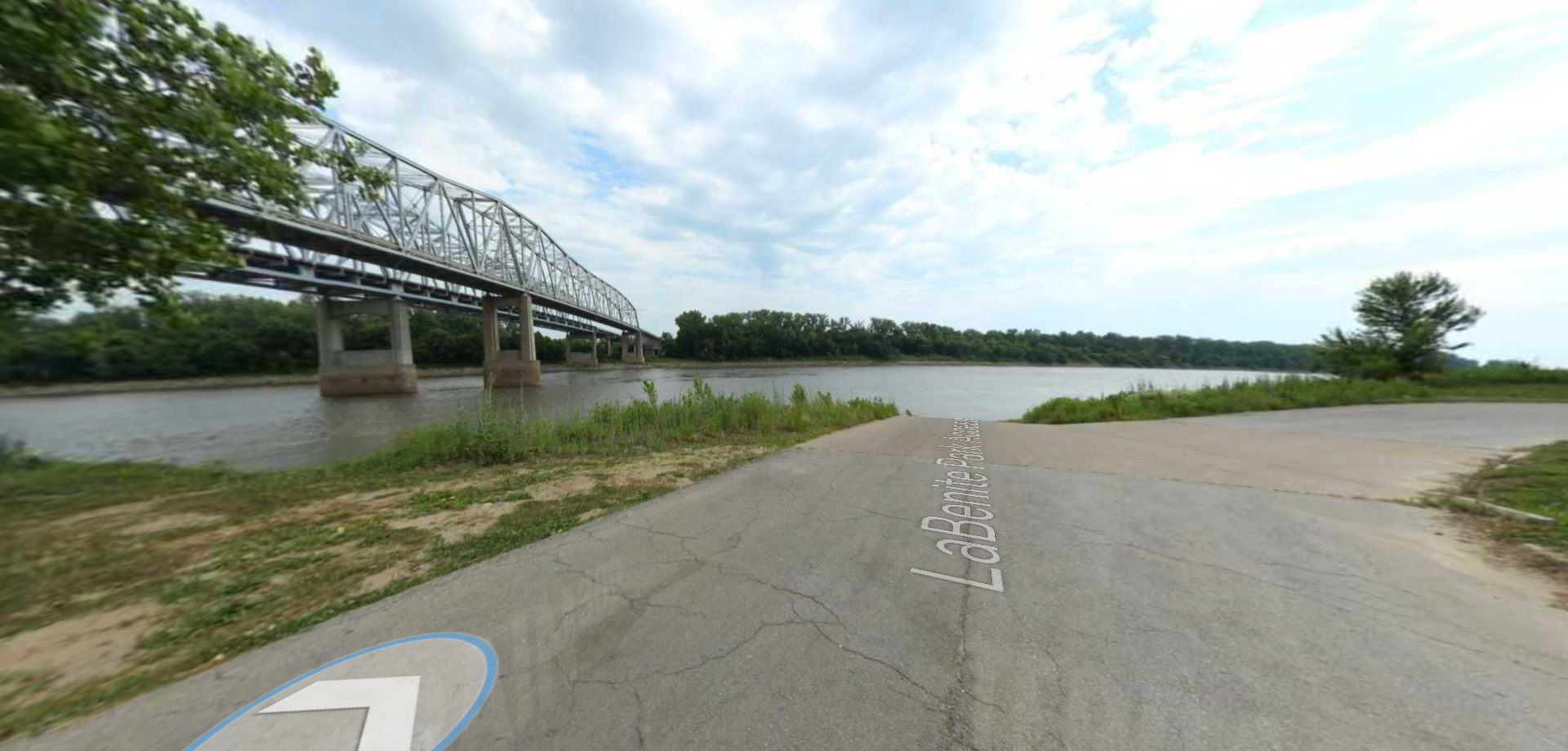
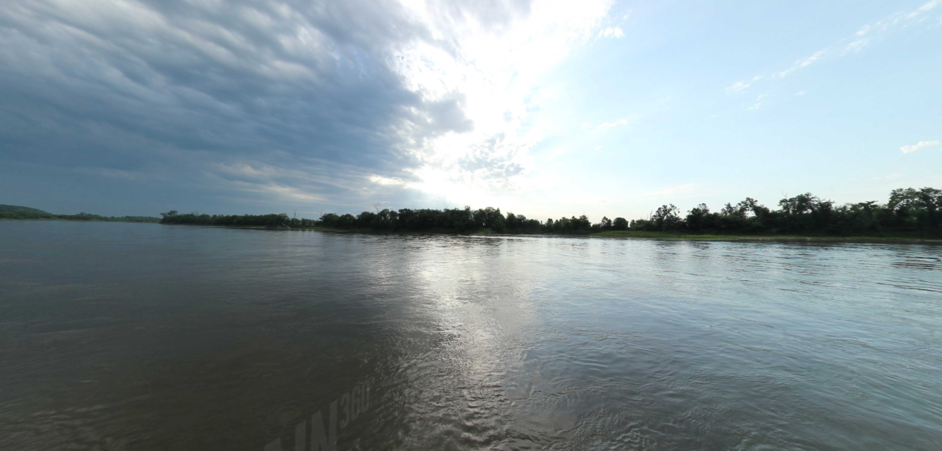
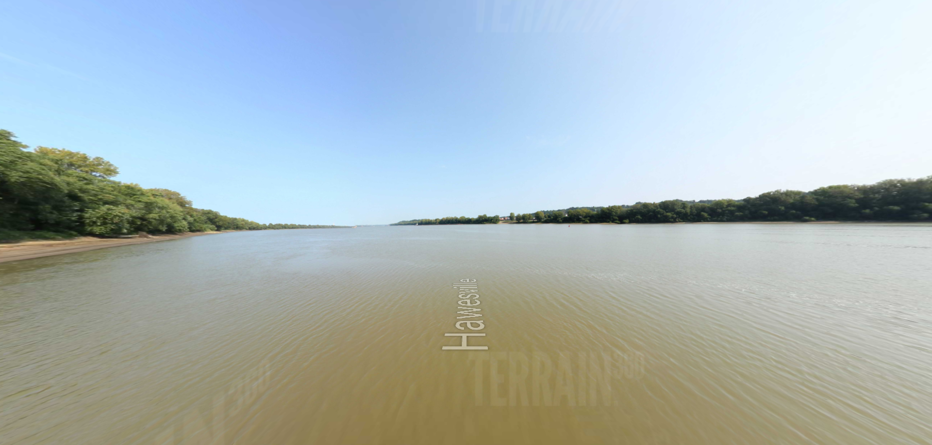
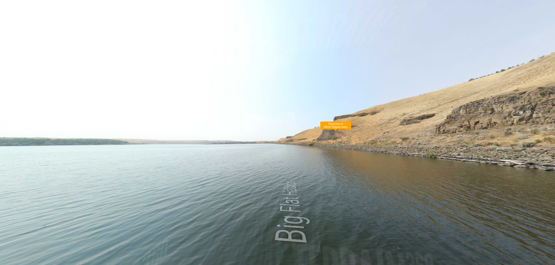
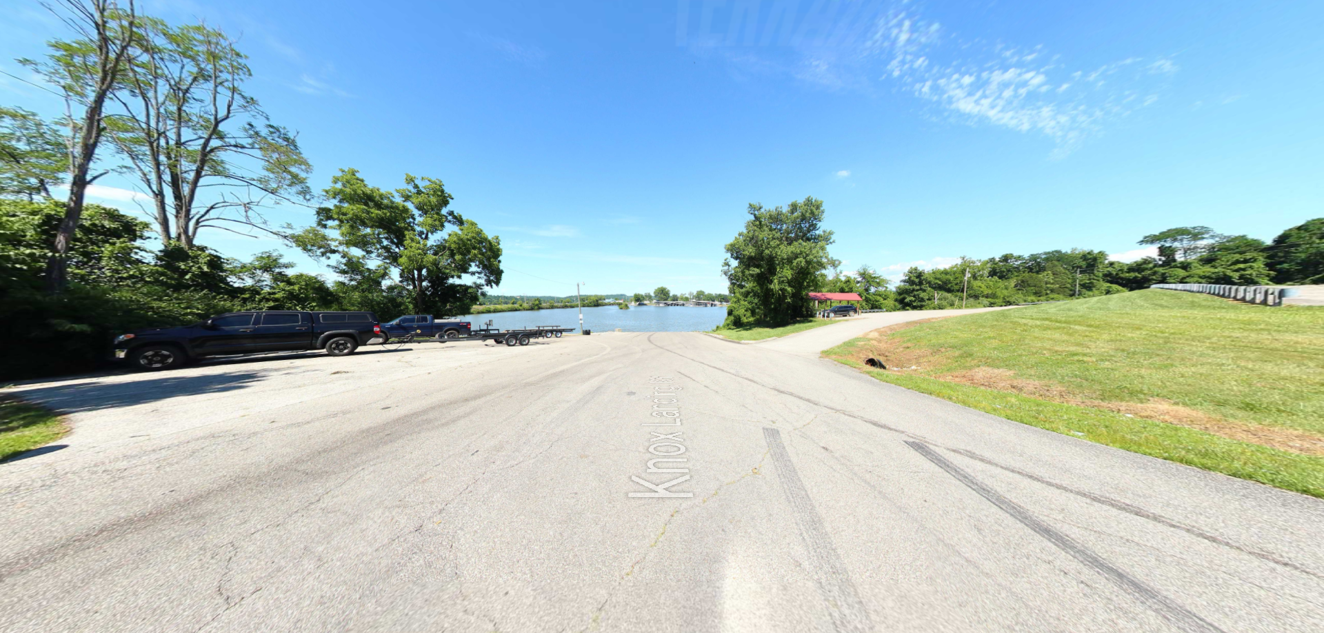
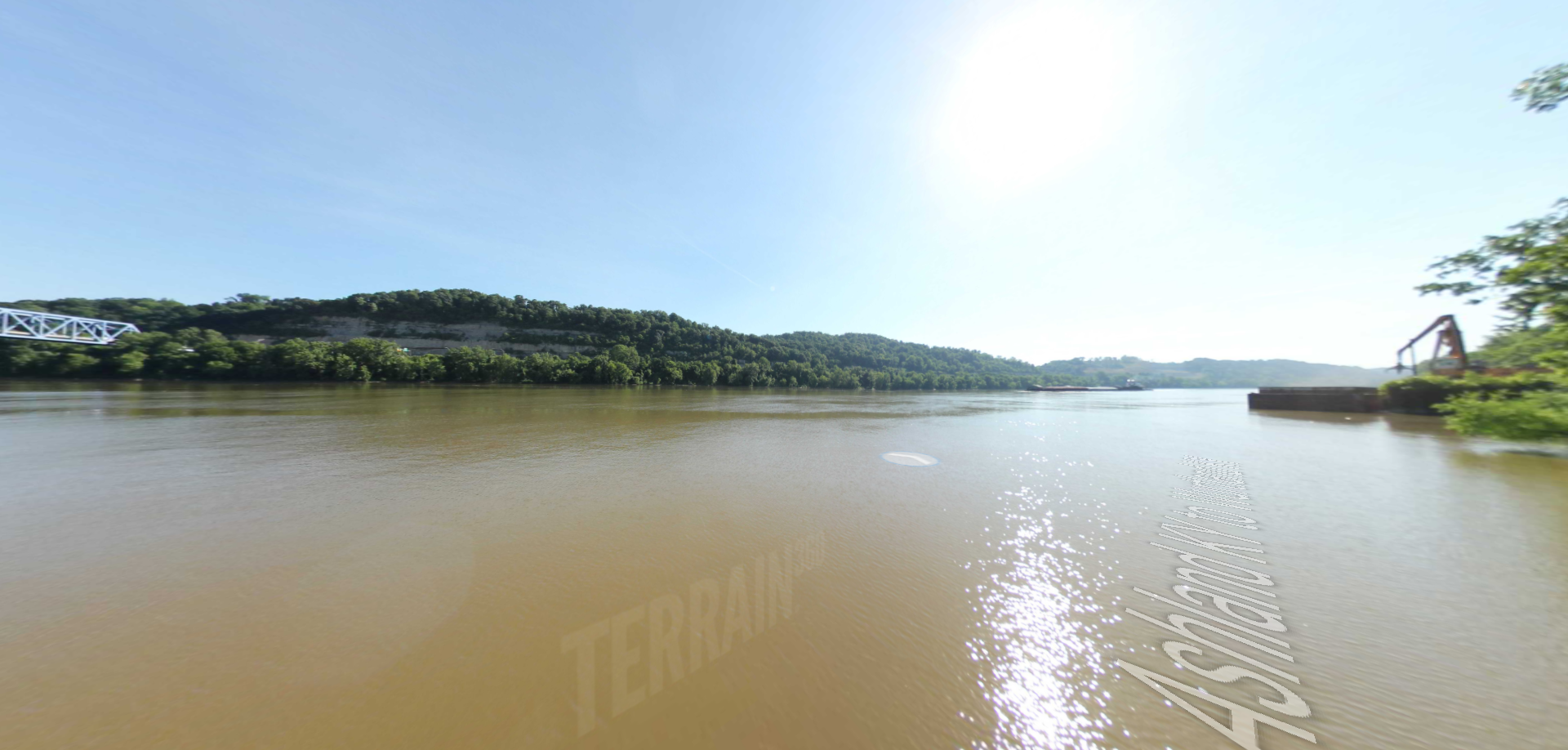
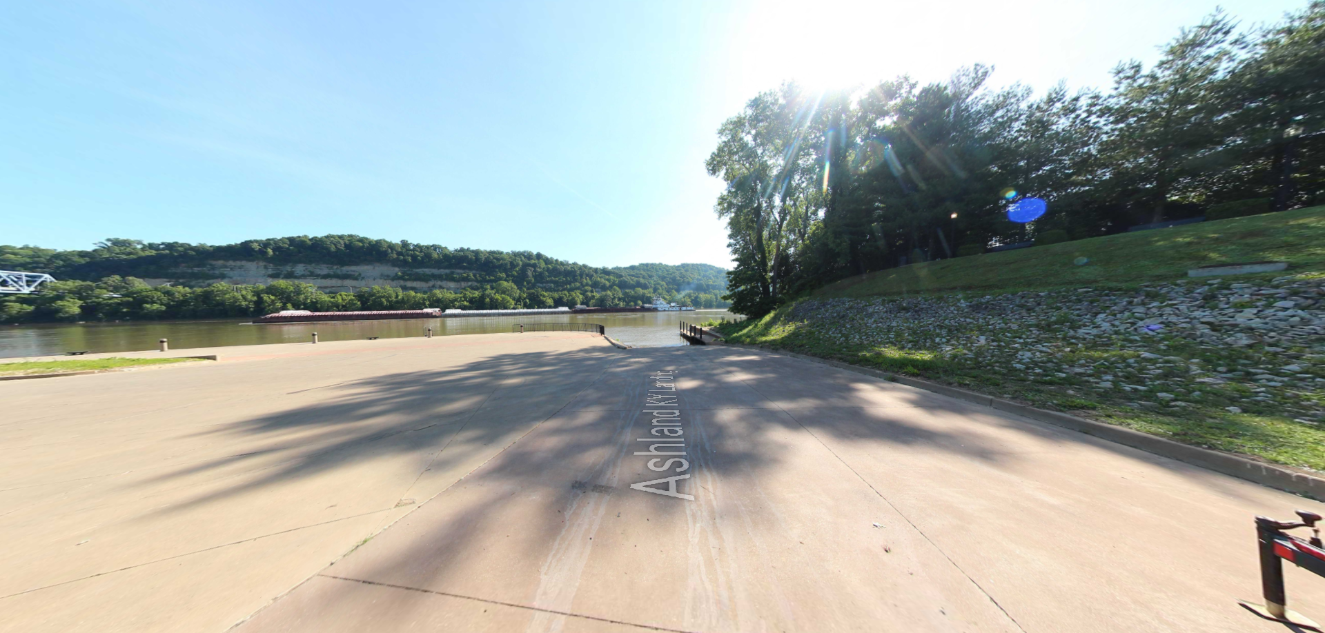
Trailhead: lat: 46.42207 long: -115.30437
Taylors Landing

A boat ramp to the beautiful Missouri River with a peaceful view of the river.

Trailhead: lat: 38.94831 long: -92.53559
Tenday Road

Trailhead: lat: 44.95982 long: -113.64409
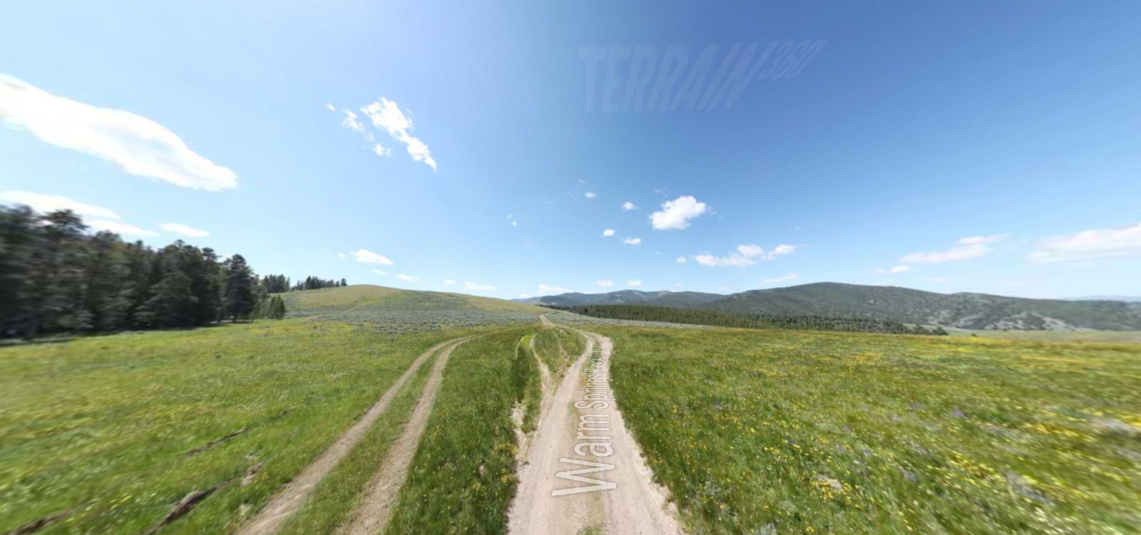
Warm Spring Roads CDT Trail

Embark on a historic trail dating back to August 9, 1805, when Lewis, accompanied by a scouting party, ventured away from the main group. Their mission: to discover a portage and establish contact with the…

Trailhead: lat: 44.9740931 long: -113.4450483
Trail of Tears to Cairo

The path taken by Chief John Ross on his way to Cairo. (https://www.hmdb.org/m.asp?m=161480)

Trailhead: lat: 37.45684 long: -89.46319
Trail of Tears Overlook

A breathtaking viewpoint overlooking the Trail of Tears State Park. Car access is available

Trailhead: lat: 37.4490937 long: -89.4764524
Trail of Tears Nature Trail

 Here, nine Cherokee Indian groups braved harsh winter conditions while crossing the Mississippi River in 1838-1839, marking a sorrowful chapter in American history. The park also has: shaded picnic sites, hiking and horse trails, opportunities to fish…

Trailhead: lat: 37.4388916 long: -89.480974
Trail of Tears Memorial

Explore the Trail of Tears State Park to delve into a somber chapter in American history. Here, nine Cherokee Indian groups crossed the harsh winter Mississippi River in 1838-1839 during their forced relocation to Oklahoma.…

Trailhead: lat: 37.4439902 long: -89.468381
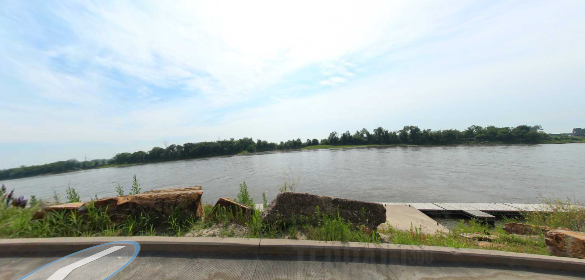
Trail of Tears Access

A boat ramp that allows visitors to access the Trail of Tears
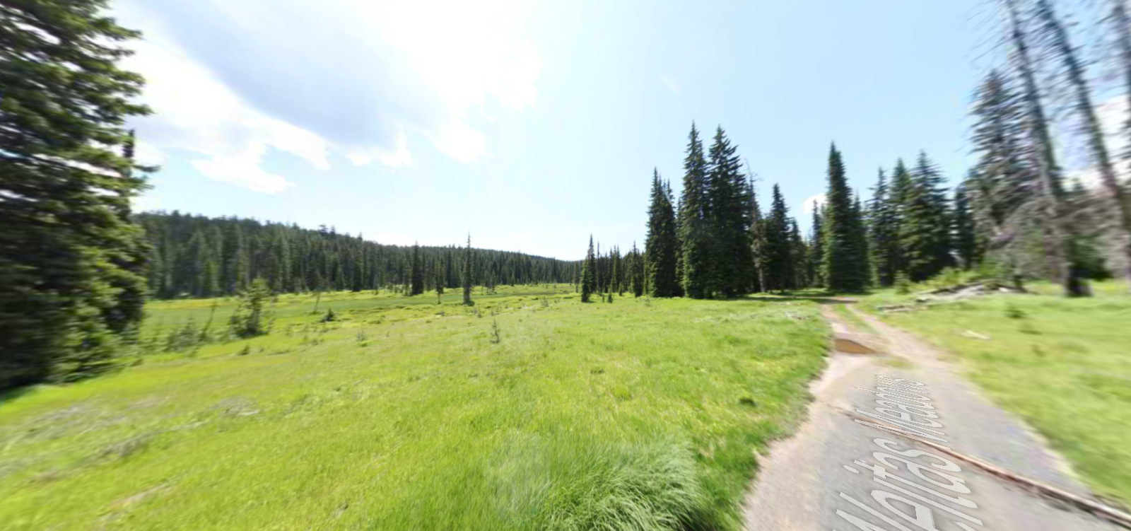
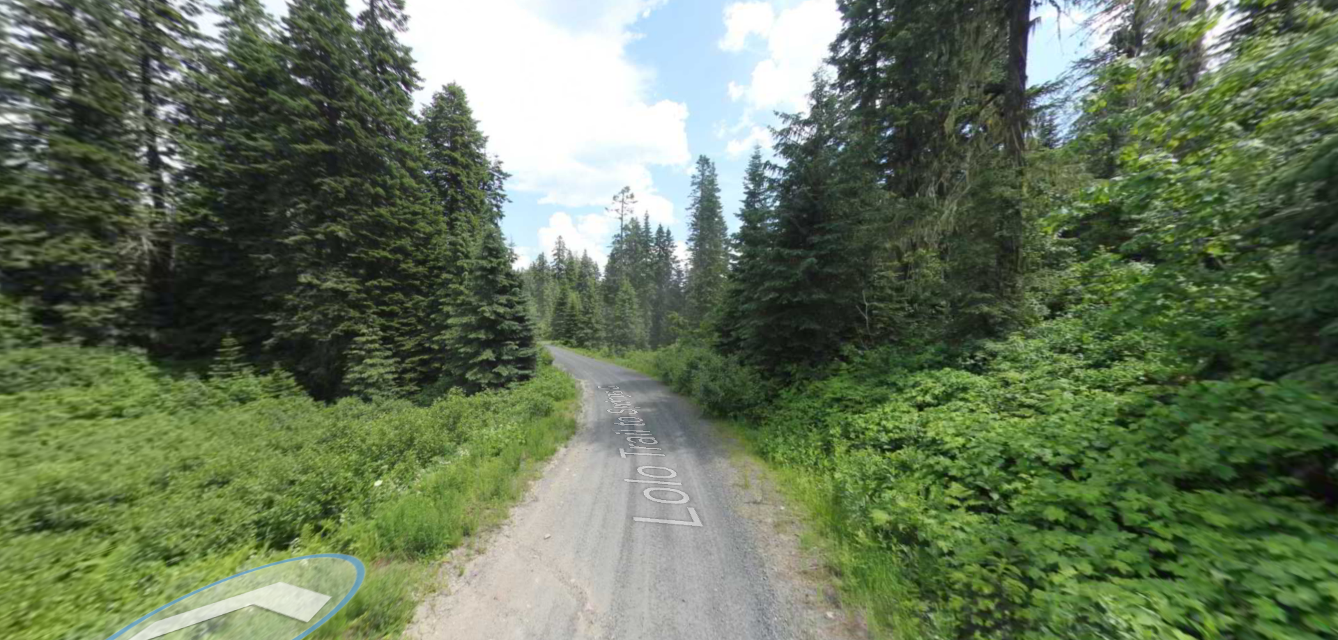
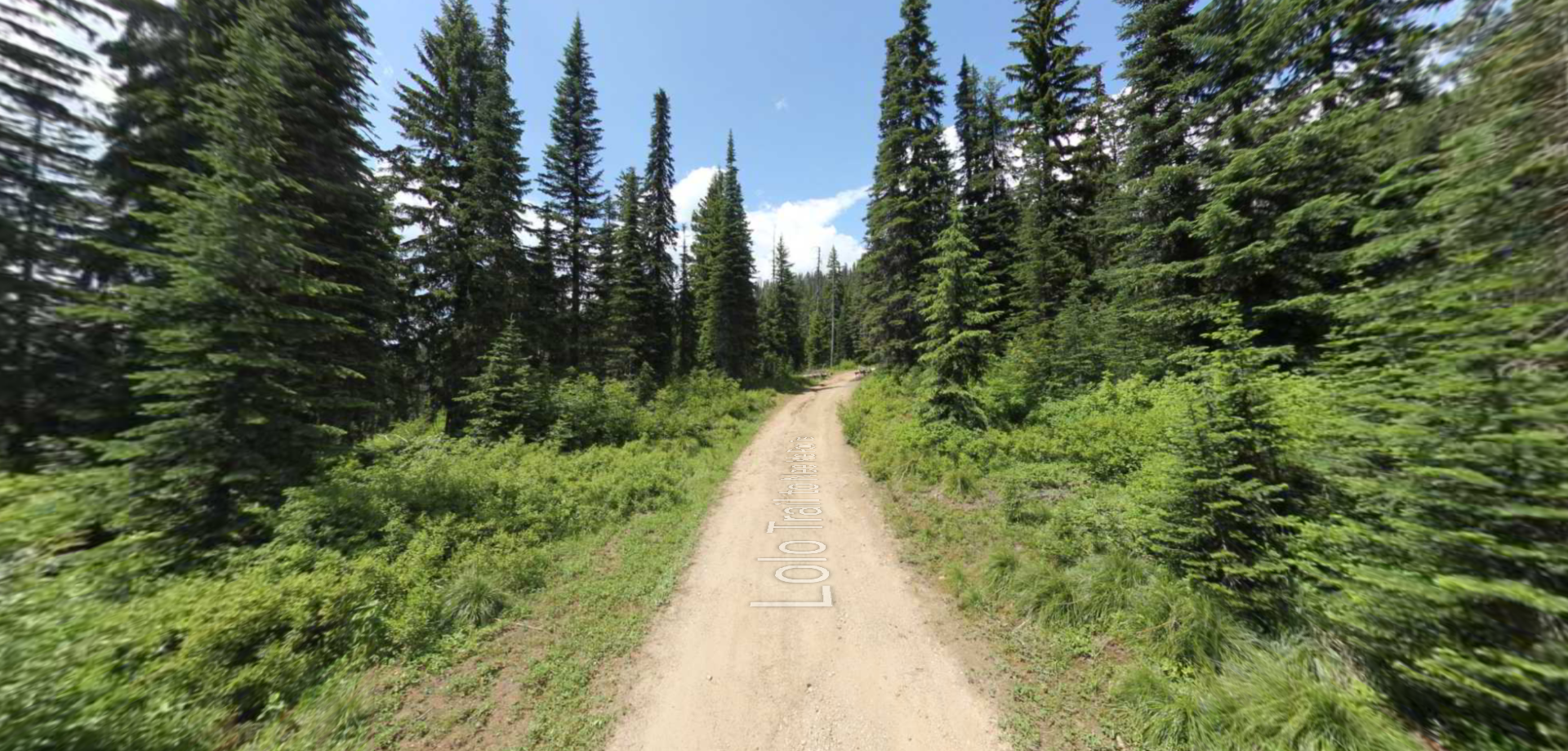
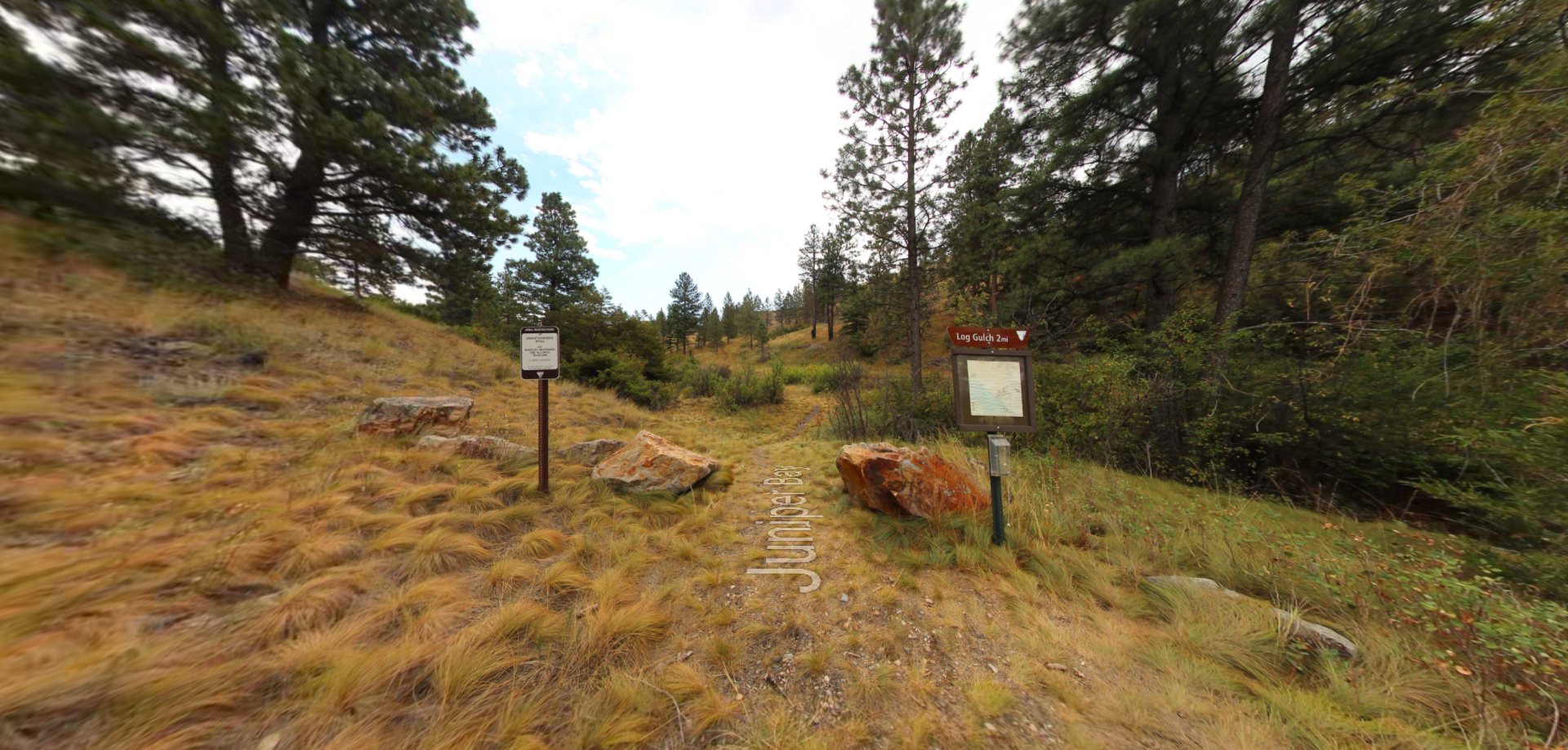
Trailhead: lat: 37.4539977 long: -89.4625079
Weitas Meadows

Tucked 35 miles northeast of Pierce, just off Forest Service Road 250, Weitas Campground offers a tranquil escape on the shaded banks of Weitas Creek near the North Fork of the Clearwater River. Accessible via…

Trailhead: lat: 46.4329695 long: -115.4829135
Inmatoon Trail

Trailhead: lat: 46.591487591774 long: -114.61413703162
Yellowstone River

Trailhead: lat: 45.511026613548 long: -110.58150009801
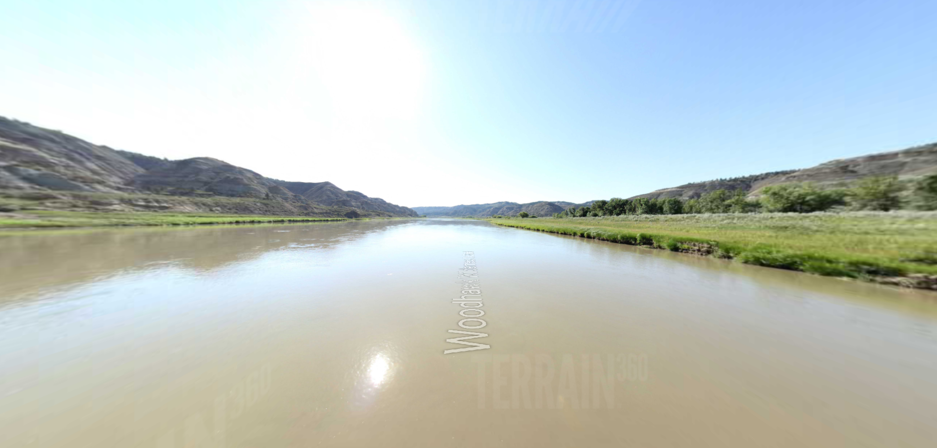
Woodhawk Wilderness to Antelope Wilderness

Trailhead: lat: 44.3465999 long: -100.357027
West Point to Hawesville

Trailhead: lat: 38.9262937 long: -84.8647941
West Point Museum

Trailhead: lat: 38.000334367727 long: -85.948092781086
West Point – Elm Street

Trailhead: lat: 37.9994889 long: -85.952838
West Point Boat Access

Trailhead: lat: 37.9995164 long: -85.9435746
West Point

Trailhead: lat: 37.9995164 long: -85.9435746
Travelers Rest State Park

Trailhead: lat: 46.753308 long: -114.0899468
Tower Rock Trail

Trailhead: lat: 47.188617 long: -111.8101938
South Shore Trail

Trailhead: lat: 47.534344 long: -111.2047707
Scuffletown

Trailhead: lat: 38.9262937 long: -84.8647941
Ryan Dam

Trailhead: lat: 47.5695678 long: -111.1240541
Rogers Pass

Trailhead: lat: 47.0763322 long: -112.370577
Rivers Edge Trail

Trailhead: lat: 47.517582 long: -111.2649299
Rainbow Falls Dam

Trailhead: lat: 44.3465999 long: -100.357027
Portage Camp Overlook

Trailhead: lat: 47.5052849 long: -111.3007715
Owensboro Island

Trailhead: lat: 38.9262937 long: -84.8647941
Owensboro

Trailhead: lat: 38.9262937 long: -84.8647941
Old Dam 49 Access

Trailhead: lat: 38.9262937 long: -84.8647941
Mount Vernon to Wabash Island

Trailhead: lat: 38.9262937 long: -84.8647941
Morony Dam Trail

Trailhead: lat: 47.5816325 long: -111.0607994
Lolo Trail

Trailhead: lat: 46.5344614 long: -114.9949272
Little Hurricane Island

Trailhead: lat: 38.9262937 long: -84.8647941
Lewis and Clark Pass

Trailhead: lat: 47.1427216 long: -112.4289137
Juniper Bay

Trailhead: lat: 44.3465999 long: -100.357027
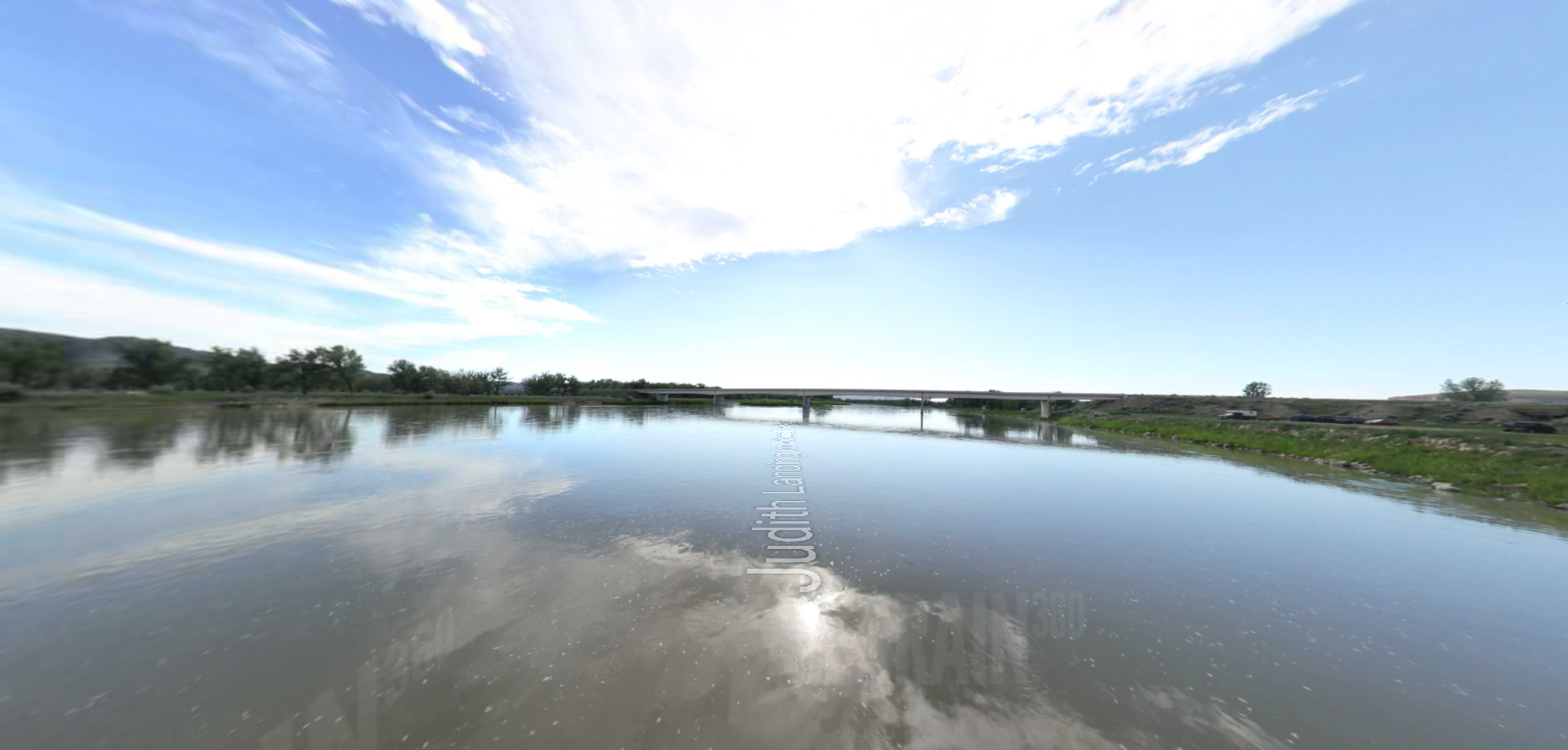
Judith Landing to Woodhawk Wilderness

Trailhead: lat: 47.7400888 long: -109.6276312
Henderson Island

Trailhead: lat: 38.9262937 long: -84.8647941
Henderson

Trailhead: lat: 38.9262937 long: -84.8647941
Hawesville

Trailhead: lat: 38.9262937 long: -84.8647941

Trailhead: lat: 44.3465999 long: -100.357027
French Island Number 2

Trailhead: lat: 38.9262937 long: -84.8647941
French Island Number 1

Trailhead: lat: 38.9262937 long: -84.8647941
Fort Duffield Access

Trailhead: lat: 37.992527 long: -85.9412859
Fort Duffield

Trailhead: lat: 37.992527 long: -85.9412859
Explorers at Portage

Trailhead: lat: 47.4925734 long: -111.3073279
Evansville to Henderson

Trailhead: lat: 38.9262937 long: -84.8647941
Ellis Island

Trailhead: lat: 38.9262937 long: -84.8647941
Decision Point

Trailhead: lat: 47.9249036 long: -110.4985534
Deadman’s Island to Henderson Island

Trailhead: lat: 38.9262937 long: -84.8647941
Deadman’s Island

Trailhead: lat: 38.9262937 long: -84.8647941
Buffalo Jump

Trailhead: lat: 47.4796208 long: -111.5247388
Blue Mountain

Trailhead: lat: 46.8148437 long: -114.1806973
Antelope Wilderness to James Kipp Landing

Trailhead: lat: 47.6274434 long: -108.6934195
Anderson Island

Trailhead: lat: 38.9262937 long: -84.8647941
Judith Landing

Trailhead: lat: 47.7408449 long: -109.6284022
James Kipp Landing

Trailhead: lat: 47.6276519 long: -108.6854877
Hole in the Wall to Judith Landing

Trailhead: lat: 47.7400888 long: -109.6276312
Eagle Creek to Hole in the Wall

Trailhead: lat: 47.8317525 long: -110.074063
Coal Banks Landing to Eagle Creek

Trailhead: lat: 48.0338635 long: -110.2279854
Windust Park to Walker Washington

Trailhead: lat: 46.5343546 long: -118.5808224
Walker to Fishhook Park

Trailhead: lat: 46.315 long: -118.7661111
Big Flat Habitat

Trailhead: lat: 46.2991833 long: -118.7863942
Weight Station Fishing Access

Trailhead: lat: 46.8788874 long: -113.8525126
St Lawrence Creek Fishing Access

Trailhead: lat: 45.7109992 long: -111.0506995
Cherry Creek Public Access

Trailhead: lat: 46.4566683 long: -116.785071
Black Sandy Lake Access

Trailhead: lat: 46.7455285 long: -111.8866754
Old Buffalo Trail 3

Trailhead: lat: 46.9547545 long: -113.5255417
Old Buffalo Trail 2

Trailhead: lat: 46.9547545 long: -113.5255417
Old Buffalo Trail 1

Trailhead: lat: 46.9547545 long: -113.5255417
Wurtland Kentucky to Greenup Dam

Trailhead: lat: 38.9262937 long: -84.8647941
Vevay to Madison Indiana

Trailhead: lat: 38.9262937 long: -84.8647941
Vanceburg Kentucky

Trailhead: lat: 38.9262937 long: -84.8647941
Trough Spring

Trailhead: lat: 38.9262937 long: -84.8647941
Stoney Point to Chilo Lock

Trailhead: lat: 38.9262937 long: -84.8647941
Portsmouth to Vanceburg

Trailhead: lat: 38.9262937 long: -84.8647941
New Boston Ohio

Trailhead: lat: 38.9262937 long: -84.8647941
Maysville to Stoney Point

Trailhead: lat: 38.9262937 long: -84.8647941
Manchester to Maysville Kentucky

Trailhead: lat: 38.9262937 long: -84.8647941
Manchester Island

Trailhead: lat: 38.9262937 long: -84.8647941
Madison Indiana to Manchester Island

Trailhead: lat: 38.9262937 long: -84.8647941
Locust Grove Kentucky

Trailhead: lat: 38.9262937 long: -84.8647941
Lawrenceburg to Warsaw

Trailhead: lat: 38.9262937 long: -84.8647941
Knox Landing

Trailhead: lat: 38.9262937 long: -84.8647941
Jeffersonville Ohio

Trailhead: lat: 38.9262937 long: -84.8647941
Gunpowder Creek to Markland Dam

Trailhead: lat: 38.9262937 long: -84.8647941
Gunpowder Creek

Trailhead: lat: 38.9262937 long: -84.8647941
Greenup Lock

Trailhead: lat: 38.9262937 long: -84.8647941
Filson Historical Society

Trailhead: lat: 38.9262937 long: -84.8647941
Cox Park Landing Kentucky

Trailhead: lat: 38.2833282 long: -85.690932
Cincinnati to Lawrenceburg

Trailhead: lat: 38.9262937 long: -84.8647941
Chilo Dam to Cincinnati Ohio

Trailhead: lat: 38.9262937 long: -84.8647941
Big Bone Lick Visitor Center

Trailhead: lat: 38.8888642 long: -84.7476118
Big Bone Lick Trail

Trailhead: lat: 38.8888642 long: -84.7476118
Ashland to Wurtland Kentucky

Trailhead: lat: 38.9262937 long: -84.8647941
Ashland Kentucky Landing

Trailhead: lat: 38.9262937 long: -84.8647941
18 Mile to Louisville Kentucky

Trailhead: lat: 38.9262937 long: -84.8647941
18 Mile Island

Trailhead: lat: 38.9262937 long: -84.8647941
Heart of the Monster Overlook

Trailhead: lat: 45.8164674 long: -116.2673554
Heart of the Monster

Trailhead: lat: 45.8164674 long: -116.2673554
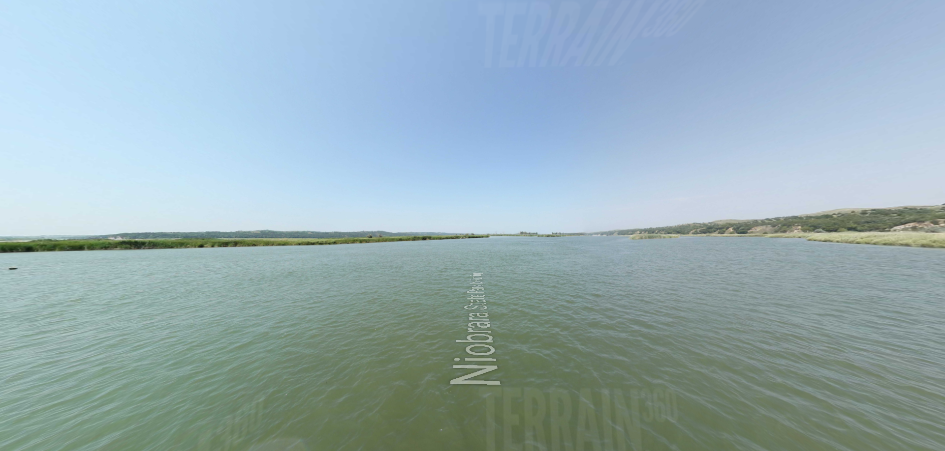
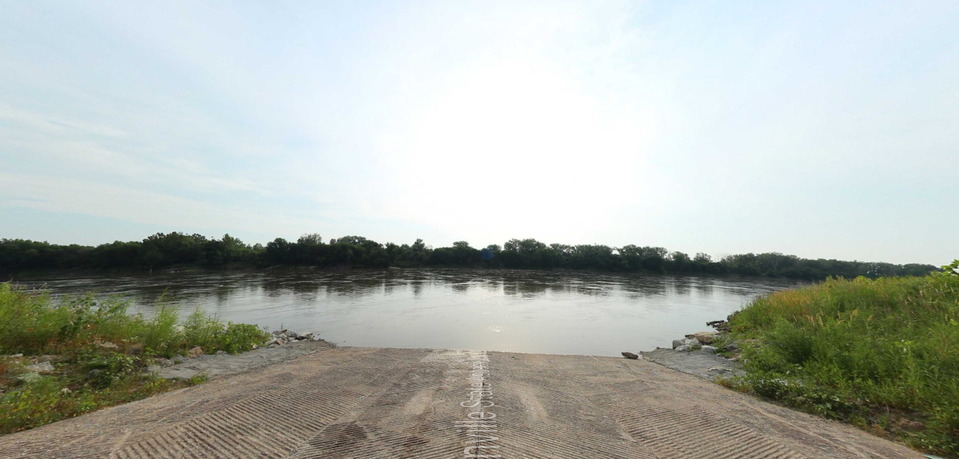
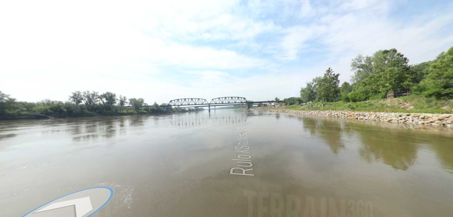
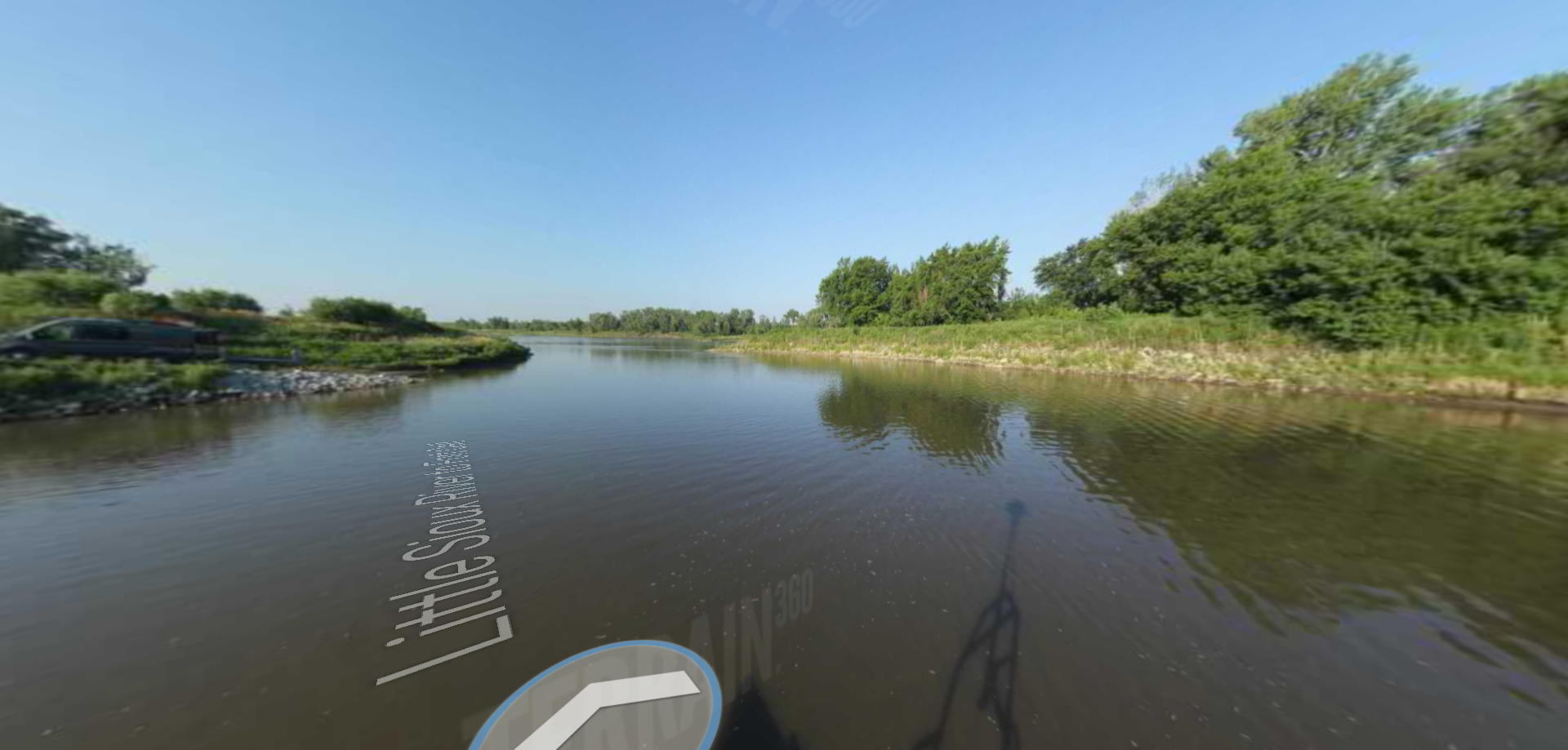
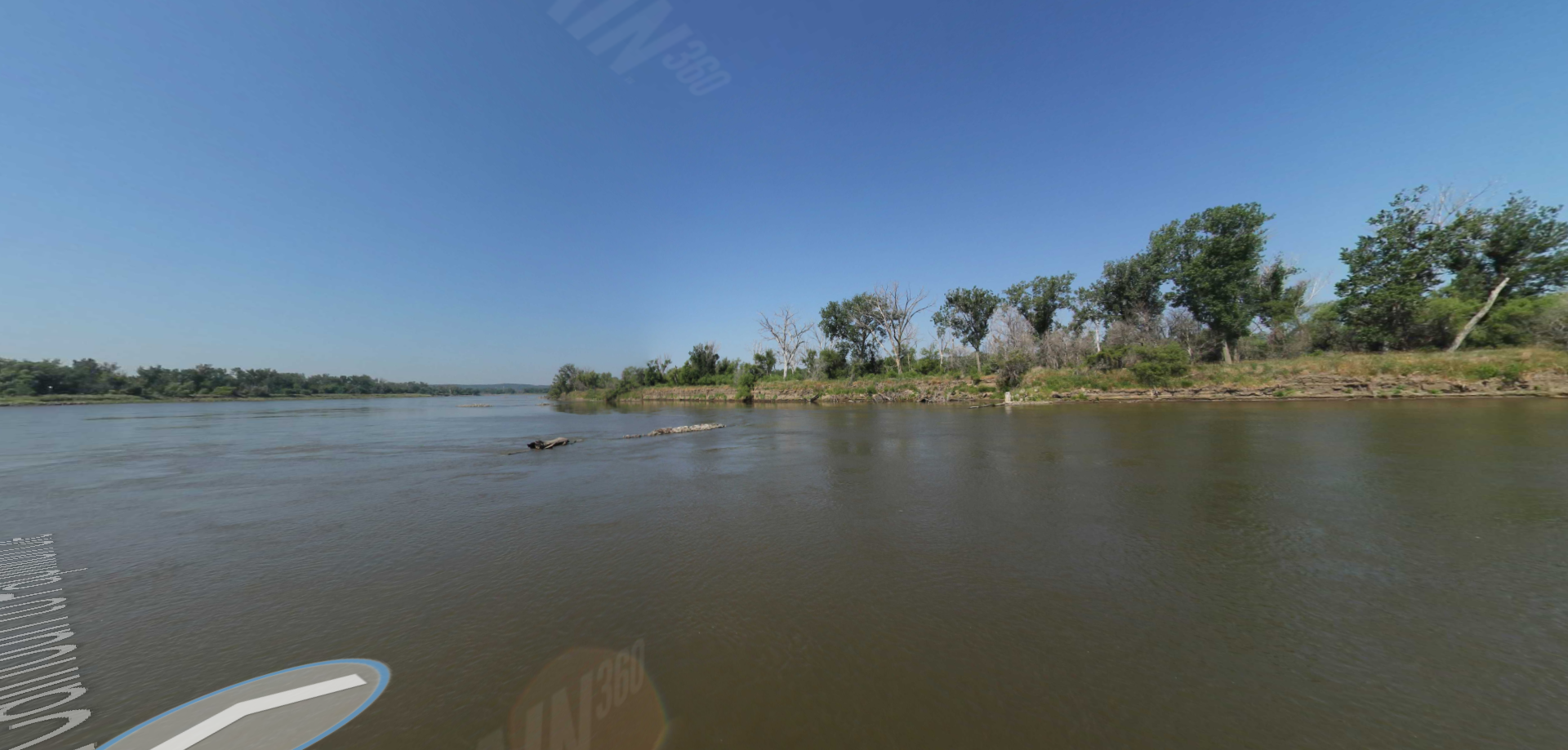
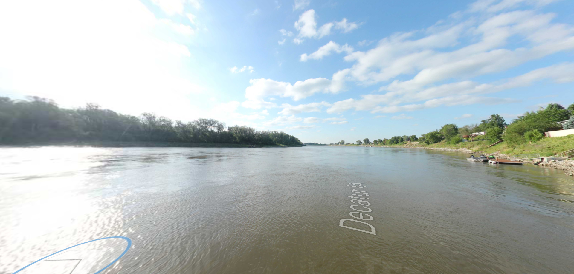
Niobrara State Park to Running Water Landing
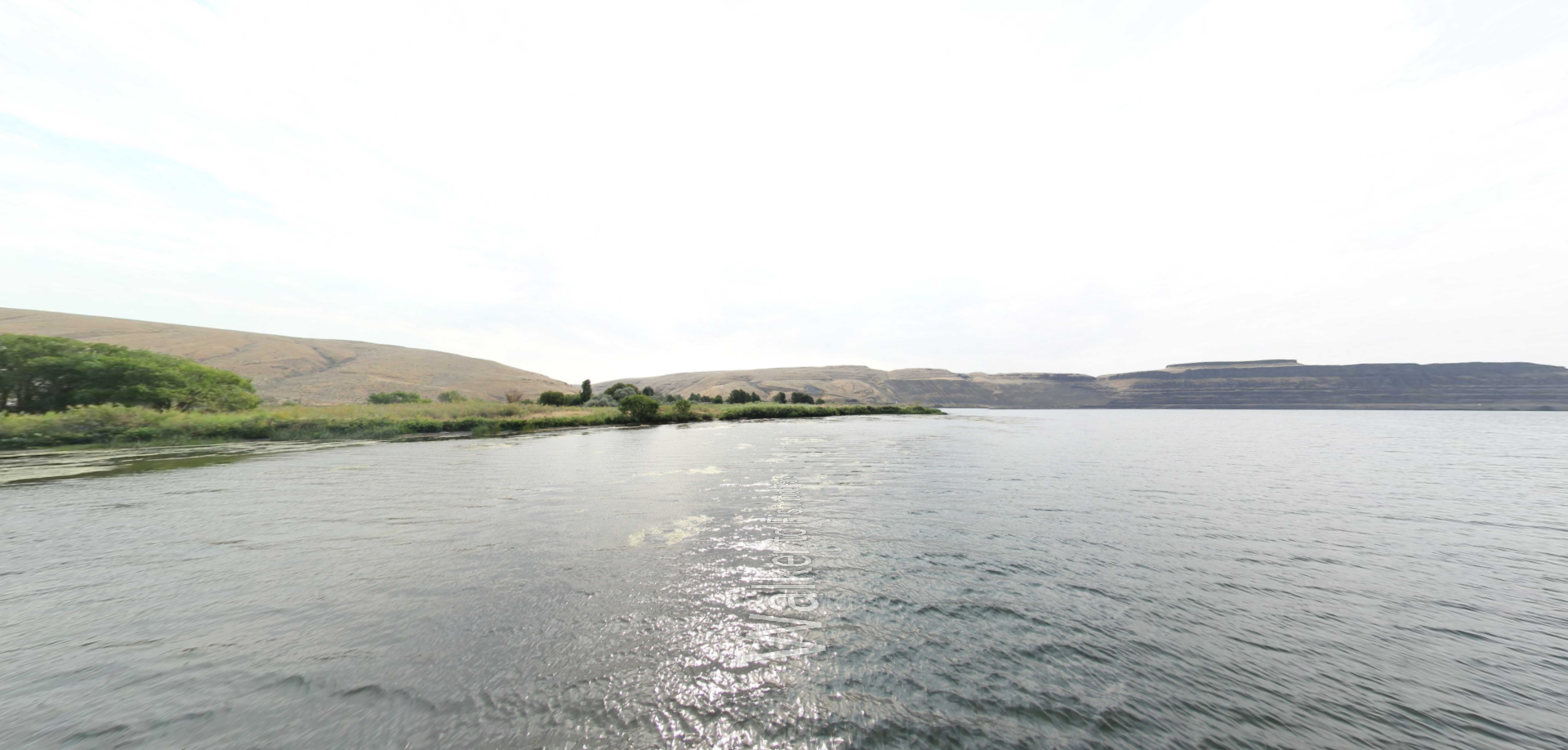
Trailhead: lat: 42.7330245 long: -98.4151844
Upper Hauser Lake to Missouri River

Trailhead: lat: 46.6822743 long: -111.8215701
Upper Hauser Lake

Trailhead: lat: 46.6822743 long: -111.8215701
Missouri River to Hauser Dam

Trailhead: lat: 46.7649385 long: -111.8858237
Missouri River Right

Trailhead: lat: 46.6822743 long: -111.8215701
Missouri River Left

Trailhead: lat: 46.6822743 long: -111.8215701
Beaver Creek to Hauser Lake

Trailhead: lat: 46.6822743 long: -111.8215701
Russell Gates to Clearwater River

Trailhead: lat: 46.9502198 long: -113.3787584
Nine Mile to Mcnamara

Trailhead: lat: 46.9502198 long: -113.3787584
Mcnamara to Bonner

Trailhead: lat: 46.9502198 long: -113.3787584
Clearwater to Dunnigan Gulch

Trailhead: lat: 46.9502198 long: -113.3787584
Blackfoot River Beginning

Trailhead: lat: 46.9502198 long: -113.3787584
Snake River

The Snake River is a major river of the greater Pacific Northwest region in the United States. At 1,078 miles long, it is the largest tributary of the Columbia River, in turn, the largest North…

Trailhead: lat: 45.1427469 long: -116.7287357
Coal Banks Landing to Eagle Creek

Trailhead: lat: 47.7400888 long: -109.6276312
Blackfoot River

The Blackfoot River, sometimes called the Big Blackfoot River to distinguish it from the Little Blackfoot River, is a snow-fed and spring-fed river in western Montana.

Trailhead: lat: 46.9177068 long: -113.6781495

Instagram Feed